The best hikes from bus stations in Fresno County
4.7
(434)
6,490
hikers
36
hikes
Hiking in Fresno County, located in California's Central Valley, offers access to diverse landscapes ranging from the valley floor to the Sierra Nevada mountains. The region features oak woodlands, grasslands, river canyons, and alpine lakes. This area serves as a gateway to national parks and provides numerous local trails, making it a varied destination for outdoor activities.
Best bus station hiking trails in Fresno County
- The most popular bus station hiking route is Chocolate Lakes loop, a 6.7 miles…
Last updated: October 11, 2026
2.55km
00:38
0m
0m
Easy hike. Great for any fitness level. Easily-accessible paths. Suitable for all skill levels.
5.0
(7)
135
hikers
14.7km
04:33
560m
560m
Moderate hike. Good fitness required. Easily-accessible paths. Suitable for all skill levels.

5.0
(1)
40
hikers
3.98km
01:17
180m
180m
Easy hike. Great for any fitness level. Easily-accessible paths. Suitable for all skill levels.
5.0
(2)
32
hikers
10.8km
04:05
730m
730m
Moderate hike. Good fitness required. Mostly accessible paths. Sure-footedness required.
5.0
(1)
19
hikers
Easy hike. Great for any fitness level. Easily-accessible paths. Suitable for all skill levels.
Get access to more routes and recommendations from other explorers.
Already have an account?
Our route recommendations are based on thousands of hikes, rides, and runs completed by other people on komoot.
Start today with a free account
Your next adventure awaits.
Popular around Fresno County

Hikes from bus stations in Sequoia-Kings Canyon Wilderness

Hikes from bus stations in Kings Canyon National Park

Hikes from bus stations in John Muir Wilderness

Hikes from bus stations in Sierra National Forest
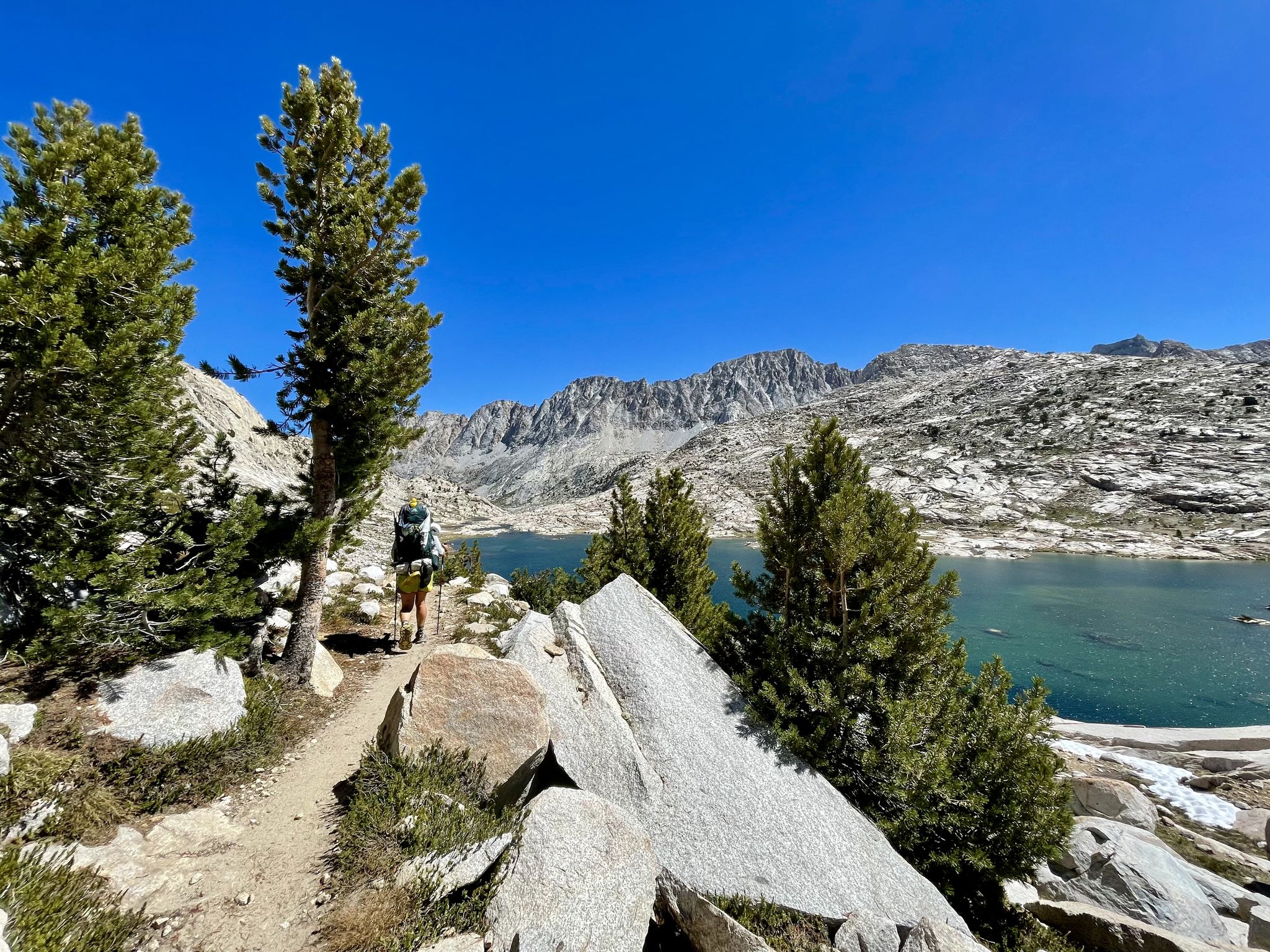
John Muir Trail – Along the legendary trail through the magical Sierra Nevada
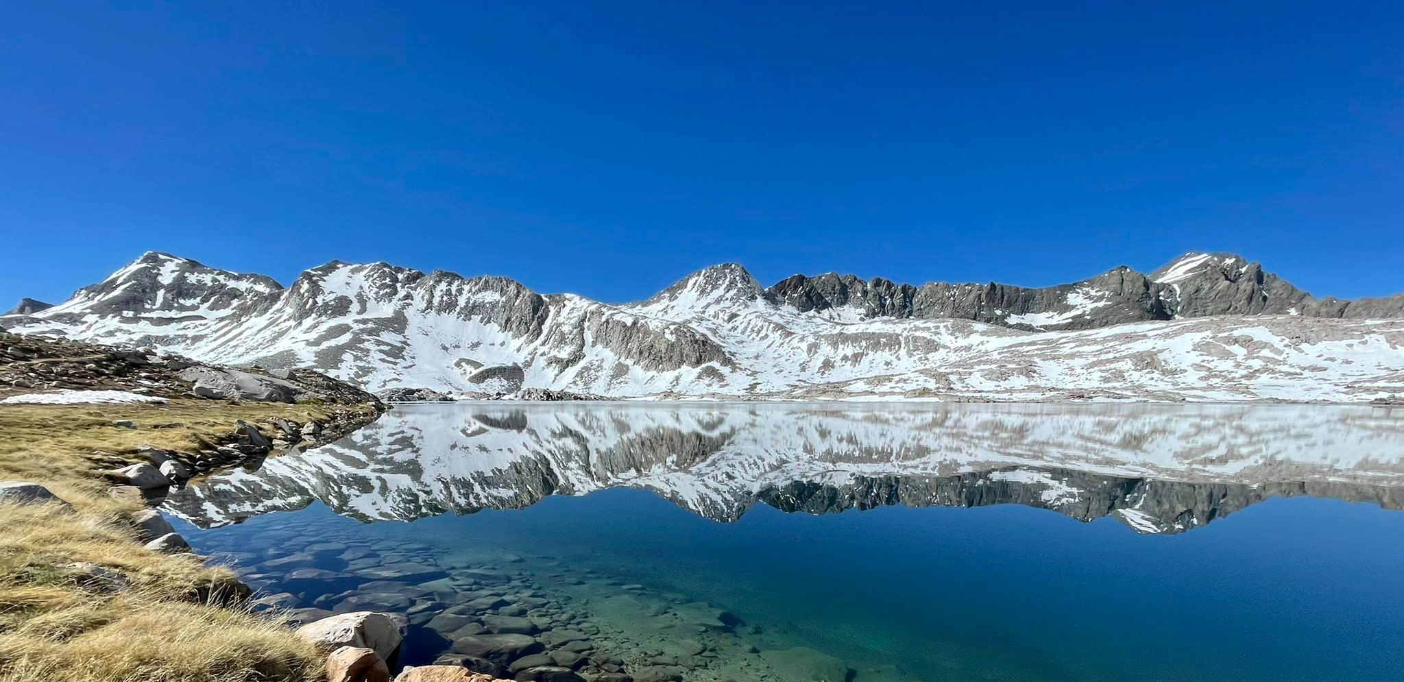
The Sierra High Route — Solitude in California's alpine country

Pacific Crest Trail from Mexico to Canada – 4,200 kilometres of wilderness
Other adventures in Fresno County


Tips from the Community

From this spot on the shore of Twin Lakes, you get a great view of Twin Falls as it plunges down the rocky cliff, framed by towering evergreens and the dramatic ridgeline of the Eastern Sierra. If you visit in early summer, you’ll catch the falls at their peak—fed by snowmelt, with distant peaks still dusted in white.
0
0
At 10,800 feet, this high mountain saddle is breathtaking, with sweeping views of Duck Lake and the surrounding Silver Divide peaks. It's the ultimate reward for the challenging ascent. Here, you can catch your breath in the crisp mountain air and enjoy the stunning Sierra Nevada vistas.
0
0


The brilliant white boulders of Crystal Crag's mountainside sweep away beneath you to reveal Lake George nestled between the peaks. You get many excellent views from the trail as you climb.
0
0

Lake Mary is nestled in front of a red basalt cliff and surrounded by forest, creating a scenic setting. In the winter, the area is blanketed in snow, making it ideal for cross-country skiing.
1
0

Great mountain lake that invites you to swim and is ideal for a short walk.
0
0

This lake is found between Lake Mary and Horseshoe Lake, and is a highly popular fishing spot. Numerous picnic areas are available for visitors to enjoy the stunning views of the water. Additionally, there are vantage points offering views of Mammoth Mountain and the spillway to Twin Lakes.
0
0

This spot along the road that leads to Twin Lakes Campground has a bridge over Mammoth Creek that offers views of the 250-foot drop of Twin Falls.
0
0
Frequently Asked Questions
How many bus station hiking trails are available in Fresno County?
There are over 19 hiking routes in Fresno County that are accessible from bus stations, offering a range of experiences from easy strolls to more challenging treks. These routes provide convenient access to the region's diverse landscapes.
What types of landscapes can I expect on bus-accessible trails in Fresno County?
Fresno County's bus-accessible trails offer a variety of landscapes, transitioning from the Central Valley floor to the foothills of the Sierra Nevada. You can expect to encounter oak woodlands, grasslands, river canyons, and areas with views of lakes and mountains. Some trails, like the Fresno Downtown Walking Tour loop, even explore urban environments.
Are there any easy, family-friendly bus station hikes in Fresno County?
Yes, Fresno County offers several easy, family-friendly hikes accessible by bus. The Fresno Downtown Walking Tour loop is an easy option, perfect for a leisurely stroll. The Lewis S. Eaton Trail, near Woodward Park, is also considered easy to moderate and is ideal for beginners, especially in springtime when wildflowers bloom.
What are the difficulty levels of bus-accessible trails in Fresno County?
The bus-accessible trails in Fresno County cater to various skill levels. You'll find 7 easy routes, 11 moderate routes, and 1 difficult route. This range ensures there's something for everyone, from casual walkers to experienced hikers looking for a challenge.
Can I find trails with waterfalls or lakes near bus stations in Fresno County?
While many of the most dramatic waterfalls and lakes are deeper within the national parks, some bus-accessible routes offer scenic views or lead to smaller water features. For example, the Devils Postpile – Rainbow Falls loop, though a bit further out, features Rainbow Falls. You can also find highlights like Middle Rae Lake and Nüümü Hu Hupi Lake in the broader region, which might be accessible with some planning around bus routes.
What is the best time of year to hike bus-accessible trails in Fresno County?
Fresno County enjoys over 300 days of sunshine annually, making it a great year-round destination. Spring (March-May) is particularly pleasant for hiking, with wildflowers in bloom and milder temperatures. Fall (September-November) also offers comfortable weather. Summers can be very hot, especially in the valley, so early morning hikes are recommended. Winter hiking is possible, but higher elevation trails may be snow-covered.
Are there any circular bus station routes available?
Yes, several bus-accessible routes in Fresno County are circular, allowing you to start and end at the same point. Examples include the Chocolate Lakes loop, the Red Cones Loop via John Muir Trail, and the Fresno Downtown Walking Tour loop. These loops are convenient for public transport users as they eliminate the need for return travel arrangements.
What do other hikers enjoy most about hiking in Fresno County?
The komoot community highly rates hiking in Fresno County, with an average score of 4.7 stars. Reviewers often praise the diverse scenery, from urban walks to mountain foothills, and the accessibility of many trails via public transport. The opportunity to experience both local trails and the gateway to national parks is also frequently highlighted.
Are there any specific landmarks or points of interest along bus-accessible trails?
Many trails offer interesting sights. For instance, the Pincushion Mountain Trail provides views of Millerton Lake and the foothills. The Lewis S. Eaton Trail offers views of the Sierra Nevada Mountains and the San Joaquin River. In downtown Fresno, the Fresno Downtown Walking Tour loop passes by various urban landmarks.
Are permits required for any bus-accessible hiking trails in Fresno County?
For most local trails directly accessible by bus within Fresno County, permits are generally not required for day hiking. However, if your bus-accessible route takes you into or near national parks like Yosemite, Kings Canyon, or Sequoia, or into certain wilderness areas within the Sierra National Forest, permits may be necessary, especially for overnight stays or during peak seasons. Always check the specific park or forest service regulations before you go.
Are bus-accessible trails in Fresno County dog-friendly?
Dog-friendliness varies by trail and specific park regulations. Many local trails in Fresno County allow dogs on leash, such as parts of the Lewis S. Eaton Trail and some areas around Millerton Lake. However, national parks generally have stricter rules, often restricting dogs to paved roads, campgrounds, and specific trails. Always check the specific trail or park's rules regarding dogs before planning your hike.
Most popular routes in Fresno County
Most popular attractions in Fresno County

Get inspired with the komoot mobile app


Didn’t find what you were looking for?
Check out more Hikes throughout Fresno County below and find the perfect route in your destination.
Explore more
Browse the best Hikes in other regions.
