The best dog-friendly hikes and walks in Baltimore County
4.5
(238)
3,281
hikers
17
hikes
Dog friendly hiking trails in Baltimore County traverse a varied landscape of rolling hills, dense woodlands, and river valleys. The region is characterized by extensive parklands, including large state parks and nature centers, offering diverse natural features for outdoor activities. Hikers can explore serene reservoir shorelines, forested hills, and unique serpentine grasslands.
Best dog friendly hiking trails in Baltimore County
- The most popular dog friendly hiking route is Loggers and Lake Trail Loop, an easy 2.5 miles (4.0 km) trail that takes 1 hour 7 minutes to complete. This route offers lake views and diverse forest scenery within Oregon Ridge Park.
- Another top favourite among local hikers is Oregon Ridge Park Loop, a moderate 4.9 miles (7.8 km) path. This trail explores the forested hills of Oregon Ridge Park, featuring varied terrain and elevation changes.
- Local hikers also love the Lake Roland loop via Red Trail, a 3.8 miles (6.1 km) trail leading through wooded areas and along the lake, often completed in about 1 hour 37 minutes.
- Hiking in Baltimore County is defined by dense woodlands, river valleys, and reservoir shorelines. The network offers options for various ability levels, from easy strolls to moderate climbs.
- The routes in Baltimore County are highly rated by the komoot community with an average score of 4.6 stars from over 160 reviews. More than 2000 hikers have used komoot to explore Baltimore County's varied terrain.
Last updated: July 8, 2026
5.0
(1)
27
hikers
3.97km
01:07
80m
90m
Embark on an easy hike along the Loggers and Lake Trail Loop, a 2.5-mile (4.0 km) route that offers varied scenery and a gentle ascent of 251 feet (77 metres). You can expect to complete this loop in about 1 hour and 6 minutes, making it perfect for a quick outdoor escape. As you hike, you'll pass through peaceful wooded areas and discover viewpoints like Gasline Cut, providing glimpses of the surrounding landscape and Hunt Valley. The trail also leads you past the tranquil Oregon Furnace Orebank Pond, adding a reflective element to your journey.
Before you set out, be aware that the terrain on the Loggers and Lake Trail Loop includes a mix of forest paths, stream crossings, and sections with gradual to steep inclines. If you plan to hike after rain, waterproof footwear may be helpful, as the trail can become muddy in places. While the route is generally well-marked, some sections, particularly within pipeline clearings, might have less clear signage, so pay attention to your path. Planning your visit during daylight hours is recommended to fully enjoy the views and navigate easily.
This trail is notable for its blend of natural beauty and historical remnants, taking you through areas that once supported logging operations. Beyond the natural landscapes, you might encounter the unique 'Forest of Hope' art installation, featuring painted trees that add an unexpected artistic touch to the woodland. The route offers a chance to connect with both the natural environment and a subtle nod to the region's past, making it a distinctive option for a leisurely outdoor activity.
5.0
(1)
48
hikers
7.84km
02:12
160m
160m
Hike a moderate 4.9-mile loop through Oregon Ridge Park, featuring diverse forests, streams, and historical mining remnants.

Sign up for free
7
hikers
6.08km
01:37
60m
60m
The Lake Roland Red Trail offers a delightful and accessible hiking experience, guiding you through diverse ecosystems of woodlands, wetlands, and hardwood forests. You'll enjoy peaceful views of Lake Roland and the Jones Falls, with the path often following an old train line, adding a unique historical touch. The trail is mostly dirt, but watch for roots and rock piles, especially if you're hiking with kids or dogs. It's an easy route, perfect for a relaxing stroll.
Planning your visit to this popular trail is simple, with shoulder parking available off Falls Road. If you prefer public transport, a boardwalk connects directly to the Falls Road MTA Light Rail station. The trail is family-friendly and dog-friendly, making it a great option for a quick escape. Be aware that sections can get muddy after rain, and standing water may freeze in winter, so check conditions before you go.
What makes the Lake Roland Red Trail truly stand out is its blend of natural beauty and historical significance within Lake Roland Park's 500 acres. You'll encounter remnants of past land grants and the impressive Lake Roland Dam, completed in 1861. Plus, the park features unique "Art on the Trail" installations, adding an unexpected artistic element to your 3.8-mile (6.1 km) hike, which typically takes about 1 hour and 36 minutes with only 204 feet (62 metres) of elevation gain.
22
hikers
5.80km
01:32
50m
60m
The Lake Roland – Jones Falls loop offers a delightful blend of natural beauty and historical elements, making it one of the more popular trails routes in the Baltimore area. You'll wander through diverse ecosystems, from lush hardwood forests to unique serpentine barrens, and enjoy tranquil waterfront views of Lake Roland and the Jones Falls River. Keep an eye out for herons and other wildlife, and appreciate the remnants of old streetcar lines that hint at the area's past.
This easy hiking route covers 3.6 miles (5.8 km) with a modest 178 feet (54 metres) of elevation gain, typically taking around 1 hour and 32 minutes. It's easily accessible, including via the Falls Road MTA Light Rail station, making it a convenient option for those using public transport. While generally flat, expect some rooty and potentially muddy sections, especially after rain, so wear appropriate footwear.
Beyond its natural charm, the area boasts significant historical importance, being a National Register Historic District with structures like the stone dam and valve house dating back to the 1850s. The park's 503 acres are home to exceptionally diverse ecosystems, including rare plants in its serpentine barrens, offering a rich experience for nature lovers and history buffs alike. It's a fantastic choice for family friendly hikes near Lake Roland.
5.0
(2)
10
hikers
The Cascade Falls – Avalon Area loop offers a deep dive into the natural beauty of Patapsco Valley State Park, guiding you through lush river valleys and dense woodlands. The highlight is undoubtedly Cascade Falls, a series of picturesque waterfalls that cascade over rocks into calm pools, particularly impressive after a good rain. You'll also find yourself meandering along creeks, enjoying the soothing sounds of flowing water and the varied terrain underfoot.
This moderate 10.3-mile (16.6 km) hiking route involves 990 feet (302 metres) of elevation gain and typically takes around 4 hours and 39 minutes to complete. The trail includes sections that can be rocky and rugged, with some stream crossings, so good fitness and appropriate footwear are recommended. The route is easily accessible from the University of Maryland Baltimore County, making it a convenient escape into nature for students and local residents.
Beyond its natural allure, the trail is steeped in history, passing through areas like Avalon and Orange Grove that contain ruins of 18th and 19th-century mills and factories, including the site of the former Bloede Dam. This blend of natural beauty and historical significance makes the loop a unique experience. It's an excellent choice for those seeking a substantial day hike with both scenic rewards and a glimpse into Maryland's past.
Get access to more routes and recommendations from other explorers.
Sign up for free
Already have an account?
Our route recommendations are based on thousands of hikes, rides, and runs completed by other people on komoot.
Start today with a free account
Your next adventure awaits.
Login or Signup
Popular around Baltimore County

Dog-friendly hikes in Gunpowder Falls State Park
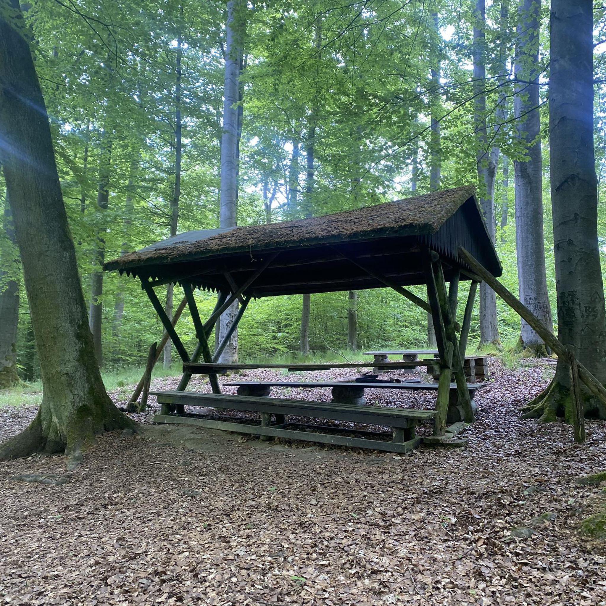
Dog-friendly hikes in Patapsco Valley State Park Belle Grove Area
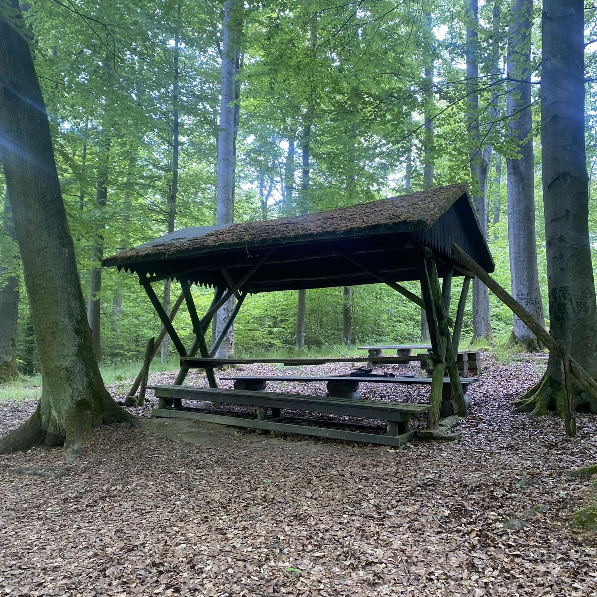
Dog-friendly hikes in Patapsco Valley State Park Glen Artney Area
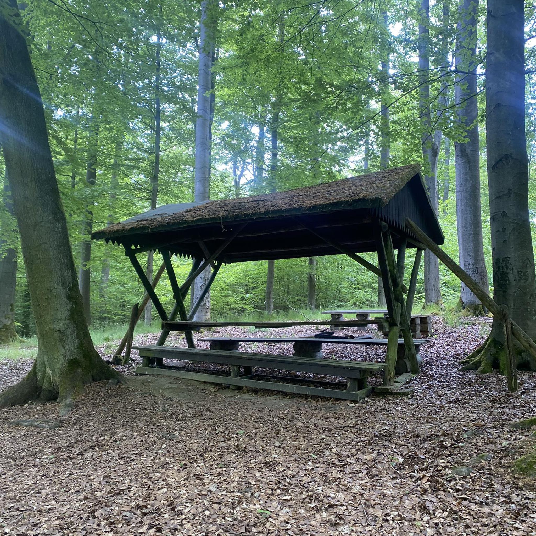
Dog-friendly hikes in Patapsco Valley State Park Pickall Area
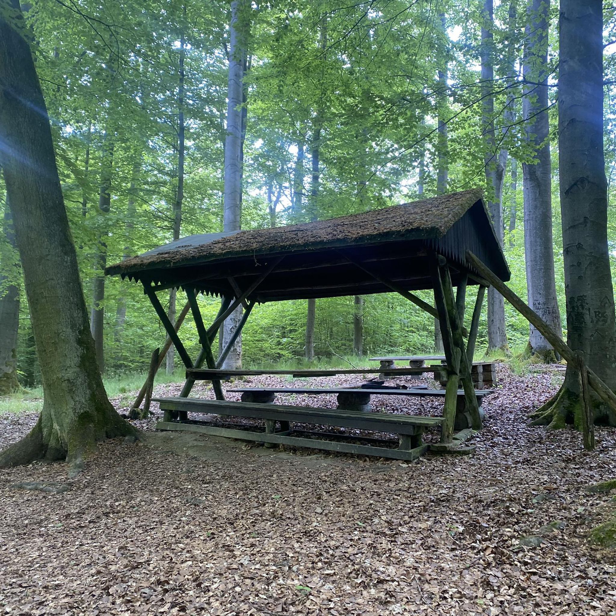
Dog-friendly hikes in Patapsco Valley State Park Horse Farm Area
Dog-friendly hikes in Patapsco Valley State Park Rockhaven Area
Dog-friendly hikes in Patapsco Valley State Park Gray'S Mill Area
Dog-friendly hikes in Patapsco Valley State Park Hilton Area

Dog-friendly hikes around Towson

Dog-friendly hikes in Gunpowder Falls State Park Springdale Area
Tips from the Community

The Red Trail at Lake Roland, features serene views of Lake Roland, and traverses woodlands rich with native flora, and passes historic structures.
0
0

As you cross over Jones Falls you get a great view of the Lake Roland Dam. The dam was completed in 1861 to meet the needs of Baltimore's growing population and today stands as a historical landmark.
0
0

Oregon Furnace Orebank is the name given to the small reservoir at the Oregon Ridge Nature Center. There is a short hiking trail that circles around the waters and a large pavilion overlooking the pond.
0
0
At over 1,000 acres, Oregon Ridge Nature Center has a pretty sizable trail network that is signed really well. There is a lake on the property, but most of the trails just spend their time winding through the trees.
0
0

This 100-acre lake was named for the nearby Roland Run Creek and was created by the dam built on Jones Falls. There's a nice trail that runs along the west bank, providing some scenic waterfront views.
0
0

Small waterfall created by Cascade Creek. Great place to take a break.
0
0
This park spans over 500 acres and features woodland, wetlands, rocky plateaus, a 100-acre Lake Roland, an abandoned quarry, viewpoints, and some historic buildings.
0
0
This 100-acre lake was named for the nearby Roland Run Creek and was created by the dam built on Jones Falls. There's a nice trail that runs along the west bank, providing some scenic waterfront views.
0
0
Frequently Asked Questions
How many dog-friendly hiking trails are available in Baltimore County?
Baltimore County offers a diverse selection of over 18 dog-friendly hiking trails. These routes cater to various preferences, with 12 easy and 6 moderate options available for you and your canine companion to explore.
What types of landscapes can I expect on dog-friendly hikes in Baltimore County?
You and your dog can enjoy a wide array of landscapes, from dense woodlands and rolling hills to serene reservoir shorelines and river valleys. Parks like Patapsco Valley State Park and Gunpowder Falls State Park feature extensive forests and river trails, while areas around Loch Raven Reservoir offer picturesque water views.
Are there easy dog-friendly trails suitable for all fitness levels?
Yes, Baltimore County has plenty of easy dog-friendly trails perfect for a leisurely stroll with your pet. An excellent example is the Loggers and Lake Trail Loop in Oregon Ridge Park, which offers lake views and diverse forest scenery on an easy path.
What are some popular circular dog-friendly routes in the area?
Many trails in Baltimore County are designed as loops, providing a convenient and varied hiking experience. Consider the Lake Roland loop via Red Trail for a pleasant walk around the park, or the Oregon Ridge Park Loop for a moderate challenge through forested hills.
What interesting landmarks or natural features can I see along dog-friendly trails?
Many trails offer points of interest for you and your dog. In Patapsco Valley State Park, you might encounter the historic Swinging Bridge and Patapsco Riverbank. Around the reservoirs, you can enjoy views of Loch Raven Reservoir or Prettyboy Reservoir. The Torrey C. Brown Rail Trail also features the charming Gnome Garden on the NCR Trail.
What do other hikers enjoy most about dog-friendly trails in Baltimore County?
The komoot community highly rates the dog-friendly trails in Baltimore County, with an average score of 4.6 stars. Reviewers often praise the well-maintained paths, the beautiful natural scenery, and the opportunity to explore diverse environments with their dogs, from tranquil forests to scenic reservoir views.
Are there dog-friendly trails that offer good parking facilities?
Yes, many popular dog-friendly trailheads in Baltimore County, especially within state and county parks like Oregon Ridge Park and Lake Roland Park, provide designated parking areas. It's always a good idea to check specific park websites for detailed parking information before your visit.
What kind of wildlife might I encounter on dog-friendly hikes?
Baltimore County's diverse ecosystems support a variety of wildlife. On your hikes, you might spot white-tailed deer, foxes, and various bird species. Marshy Point Nature Center, for instance, offers opportunities to glimpse local mammals, waterfowl, and amphibians along its wetland boardwalks. Always keep your dog leashed to protect both your pet and the local wildlife.
When is the best time of year to go dog-friendly hiking in Baltimore County?
Spring and fall are particularly pleasant for dog-friendly hikes, offering mild temperatures and beautiful scenery, especially during fall foliage season. Winter can also be enjoyable for a crisp walk, though some trails might be muddy or icy. Summer can be warm, so early morning or late afternoon hikes are recommended, and always ensure your dog has plenty of water.
Are there specific trails suitable for families hiking with dogs?
Absolutely! Many of the easy and moderate trails are perfect for families with dogs. The Oregon Ridge – Gasline Cut loop from Oregon Ridge Park is a great option, offering an accessible and enjoyable experience for both children and pets. Always choose a trail that matches the fitness level of all family members, including your dog.
What are the main differences between dog-friendly trails in state parks versus other areas in Baltimore County?
State parks like Patapsco Valley and Gunpowder Falls offer extensive, well-marked trail networks, often with more rugged terrain and longer distances, providing a true wilderness feel. Other areas, such as county parks or reservoir trails, might offer more varied surfaces, including paved paths, and can sometimes be closer to urban centers, providing easier access for shorter walks. Both types generally require dogs to be leashed.
Most popular routes in Baltimore County
Most popular attractions in Baltimore County

Get inspired with the komoot mobile app


Didn’t find what you were looking for?
Check out more Hikes throughout Baltimore County below and find the perfect route in your destination.
Explore more
Browse the best Hikes in other regions.
