The best hikes from bus stations around Jiloca
4.6
(426)
2,039
hikers
12
hikes
Hiking around Jiloca offers diverse landscapes, from riverine environments to steppes and moorland. The region is characterized by the Jalón and Jiloca rivers, featuring canyons, wetlands, and karst formations like the Aguallueve de Anento. Historical architecture, such as the Jaraba sanctuary and Peracense castle, is often integrated into the natural rock formations, providing points of interest along trails.
Best bus station hiking trails around Jiloca
- The most popular bus station hiking route is Main Square – Albarracín Old Town loop…
Last updated: October 10, 2026
4.8
(25)
164
hikers
5.31km
01:29
100m
100m
Easy hike. Great for any fitness level. Easily-accessible paths. Suitable for all skill levels.
4.8
(17)
55
hikers
Moderate hike. Good fitness required. Mostly accessible paths. Sure-footedness required.

4.8
(9)
44
hikers
9.17km
02:38
230m
230m
Moderate hike. Good fitness required. Easily-accessible paths. Suitable for all skill levels.
5.0
(4)
25
hikers
Moderate hike. Good fitness required. Easily-accessible paths. Suitable for all skill levels.
5.0
(1)
8
hikers
2.52km
00:41
40m
40m
Easy hike. Great for any fitness level. Easily-accessible paths. Suitable for all skill levels.
Get access to more routes and recommendations from other explorers.
Already have an account?
Our route recommendations are based on thousands of hikes, rides, and runs completed by other people on komoot.
Start today with a free account
Your next adventure awaits.
Popular around Jiloca
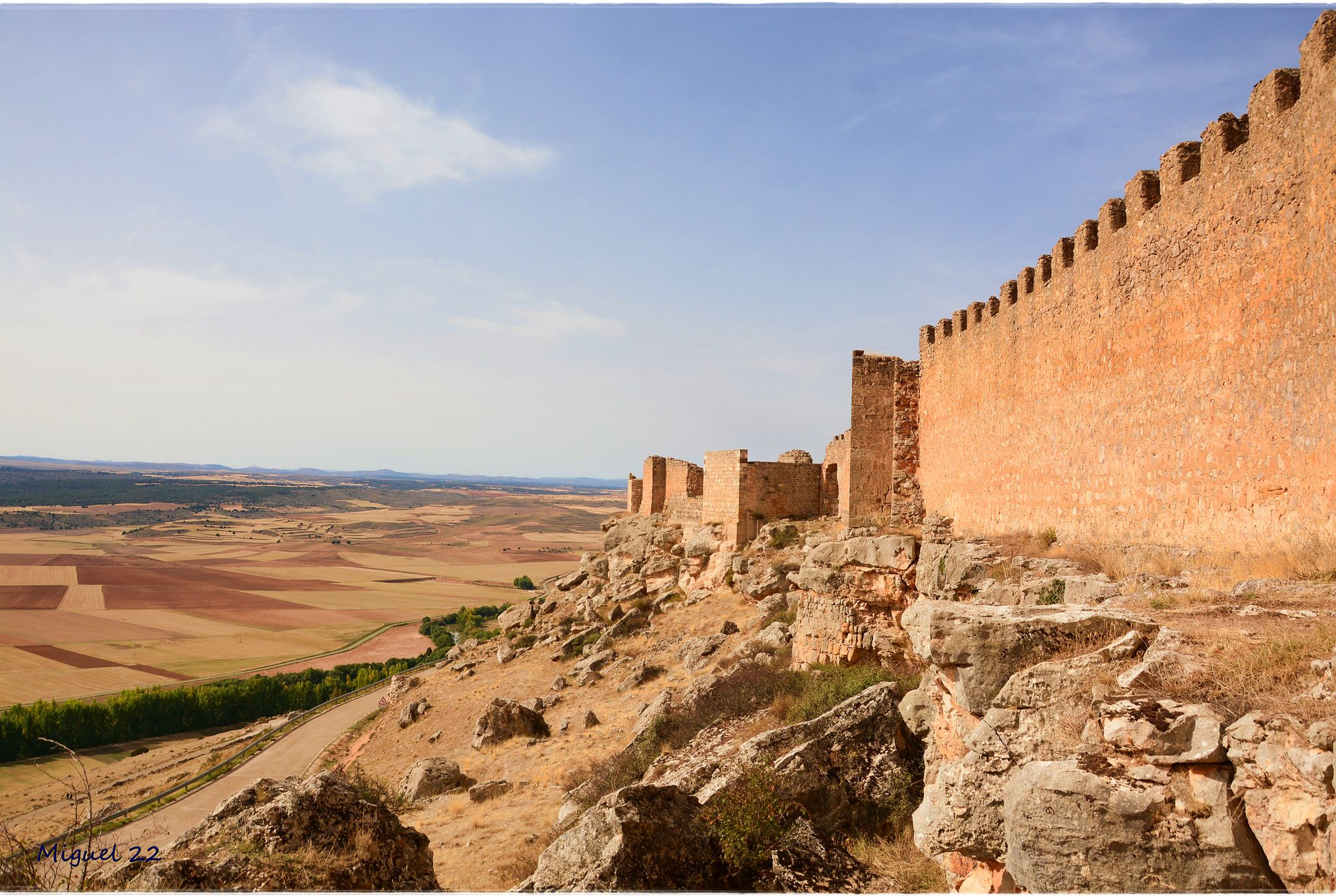
A journey through mediaeval Spain – El Camino del Cid (GR 160)
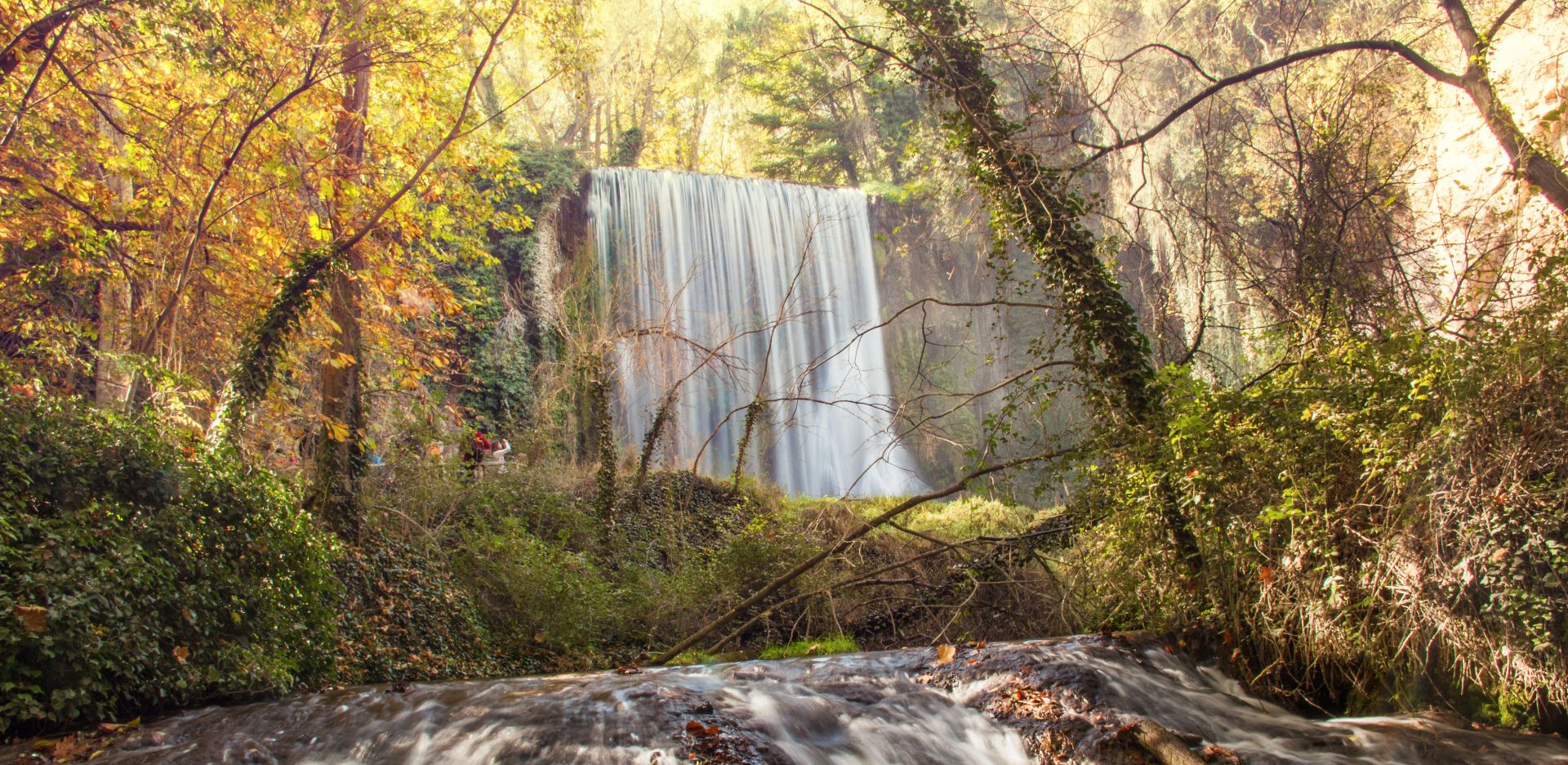
Landscapes of water and rock – Spain’s Jalón and Jiloca Trail (GR 24)
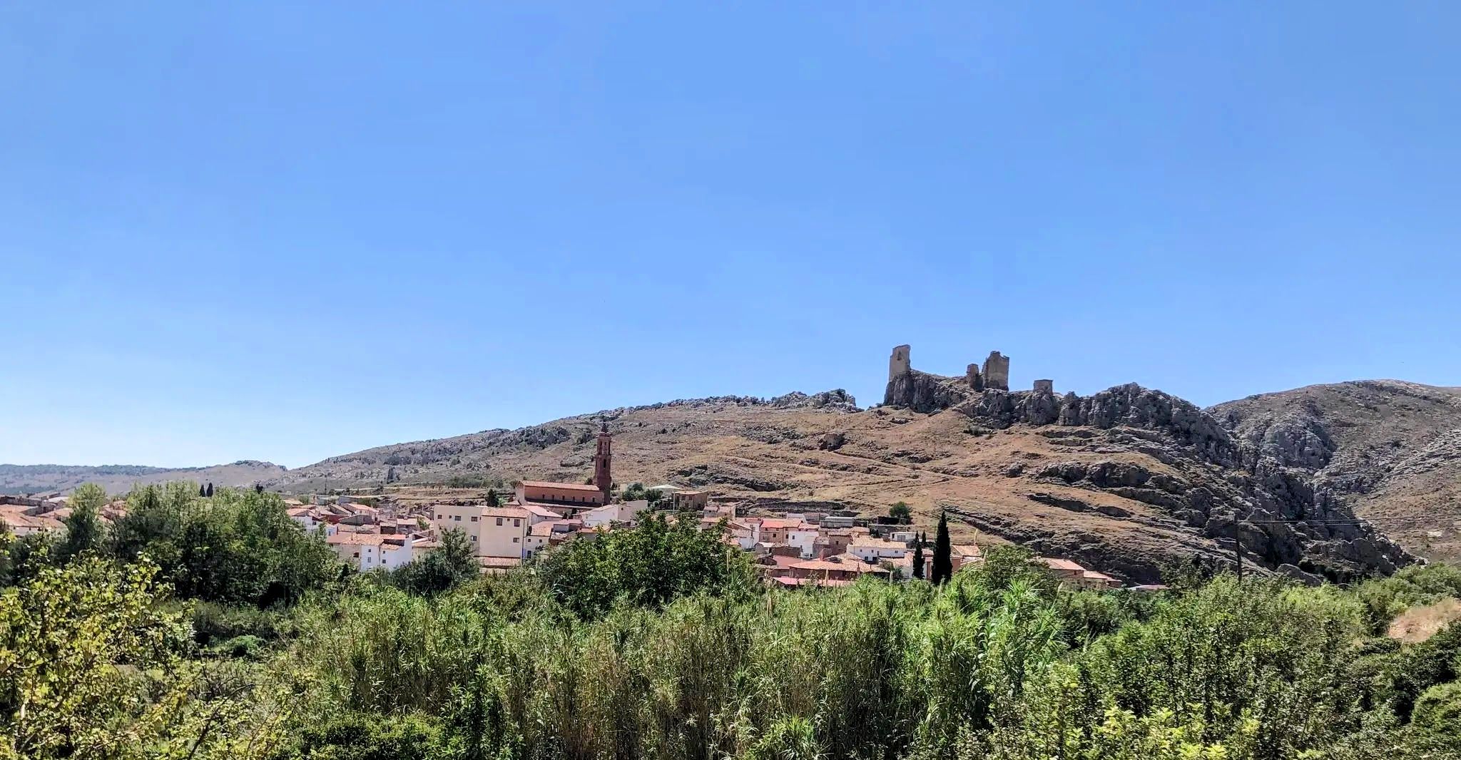
In the footsteps of El Cid - Ring of Montalbán
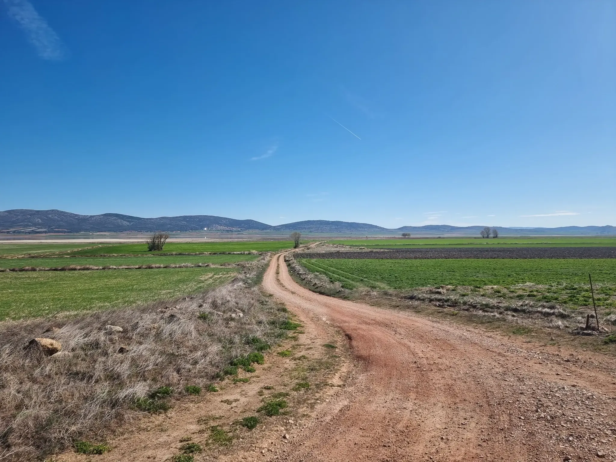
The paradise of the cranes - Gallocanta Ring
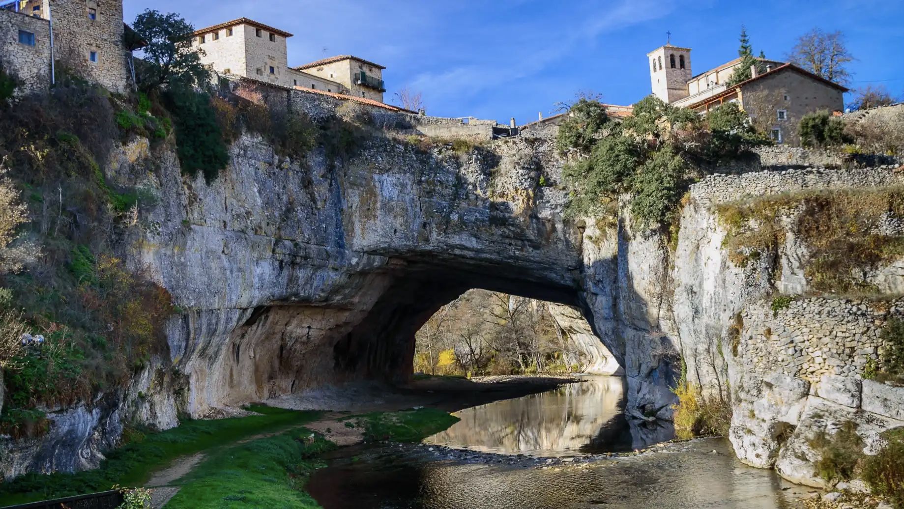
An epic getaway – Santander-Mediterráneo Nature Trail
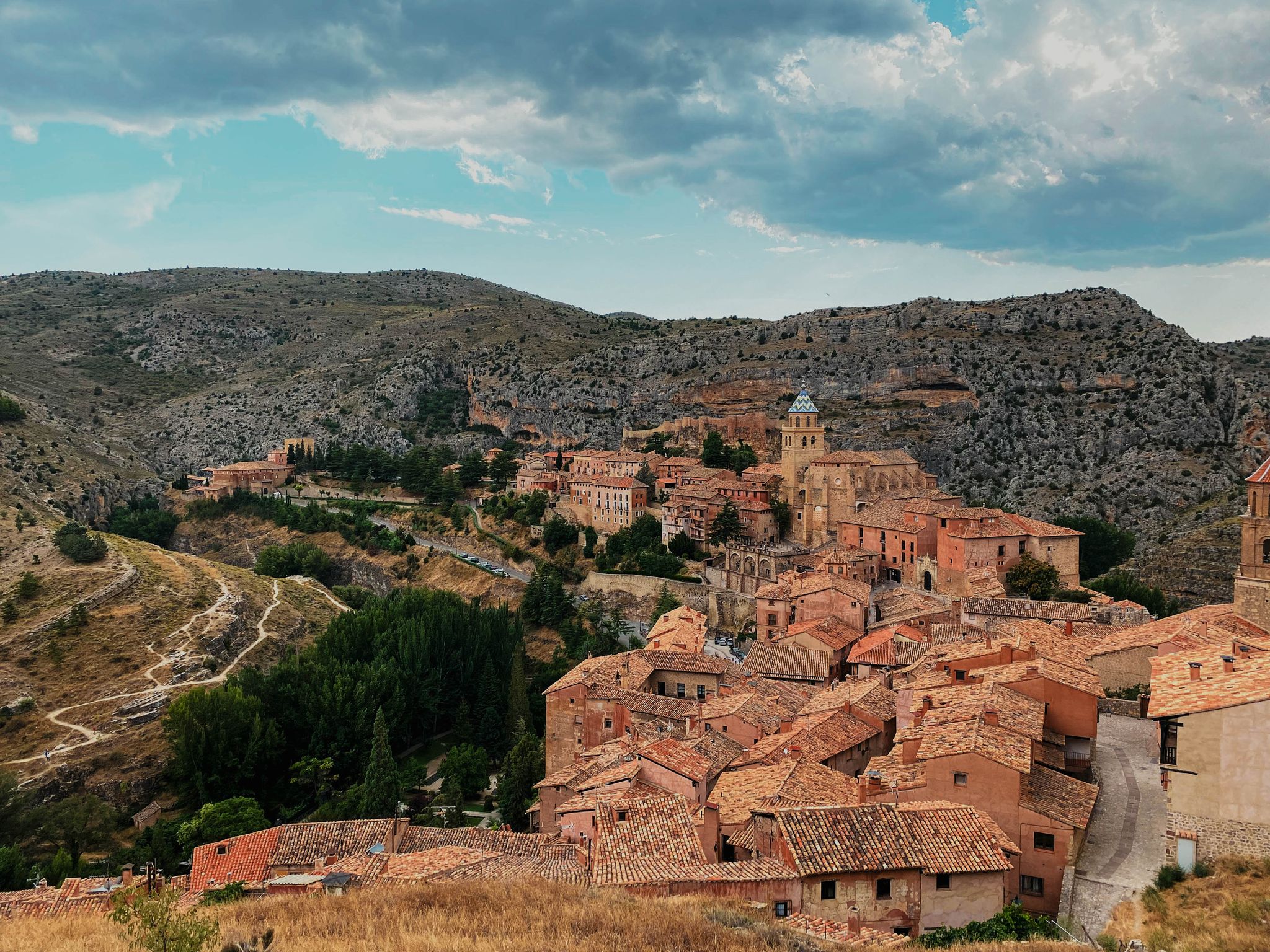
The Three Taifas by gravel bike – El Camino del Cid
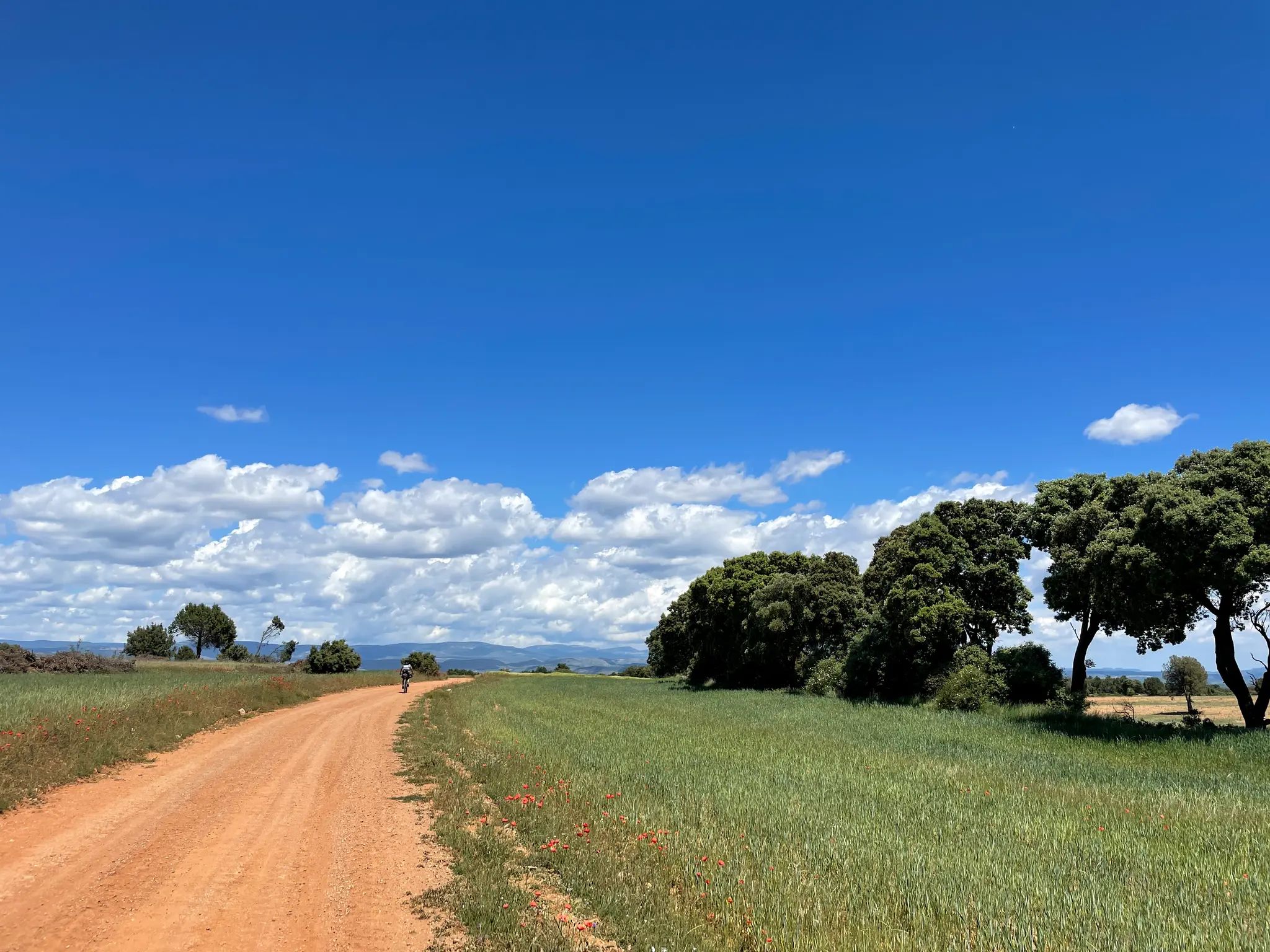
El Camino del Cid – The Conquest of Valencia on MTB
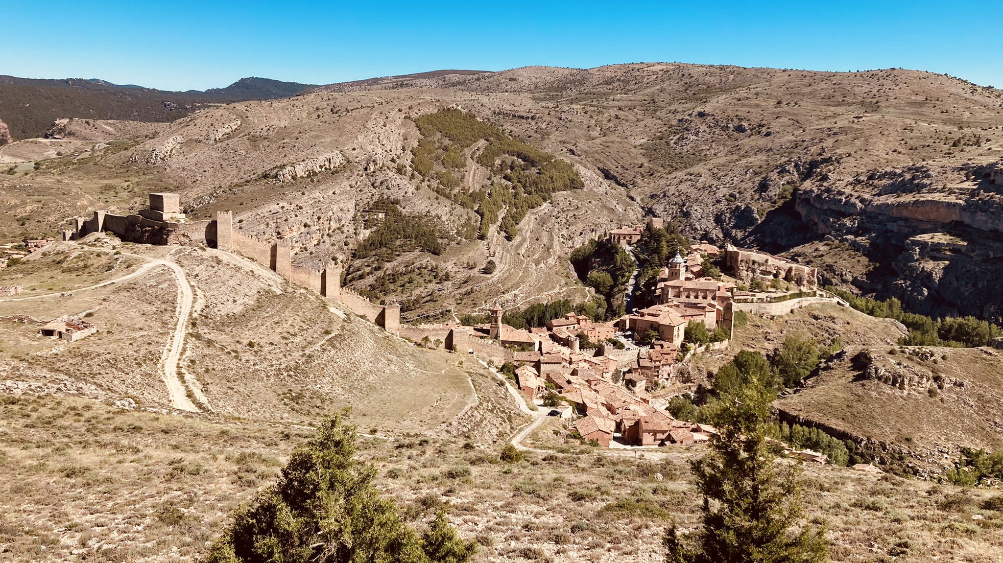
El Camino del Cid – The Three Taifas on MTB
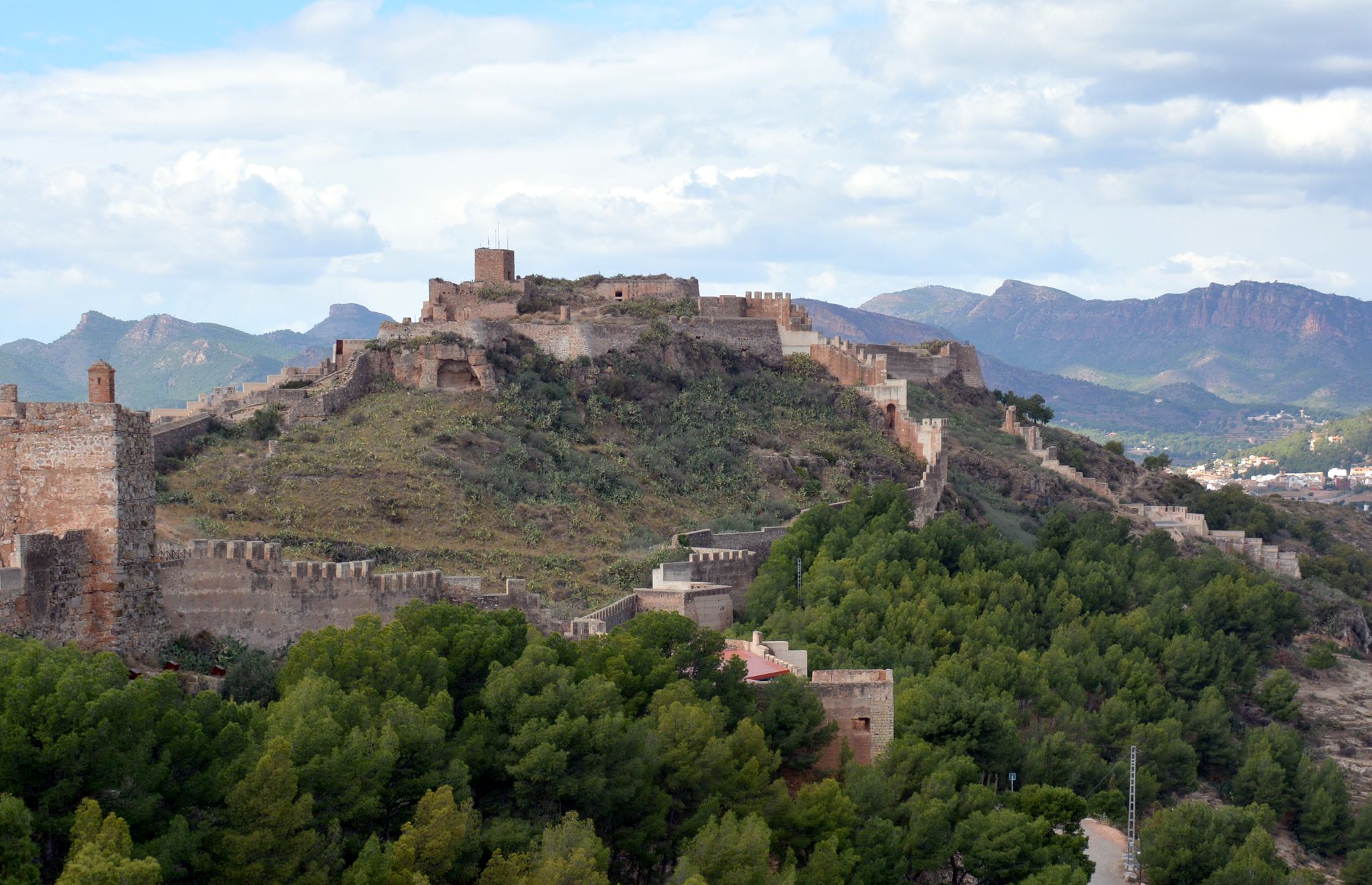
The Way of El Cid by bicycle – Conquest of Valencia
The Way of El Cid by bike – The Three Taifas
Other adventures around Jiloca


Tips from the Community

The Molina Gate consists of two massive square towers and a semicircular arch with carved stone keystones. Once through the gate, the defensive system of the city wall becomes visible, with towers and wall sections running stepwise along its length. The two streets leading to the Plaza Mayor,
15
0

Everything about this place is beautiful
0
0
Viewpoint for the church offers a great view over the valley
0
0
Beautiful place, the village, the castle, the church, everything!
0
1

It is repeatedly pointed out that hiking in the gorge is too dangerous due to flooding when there is a risk of thunderstorms.
1
0

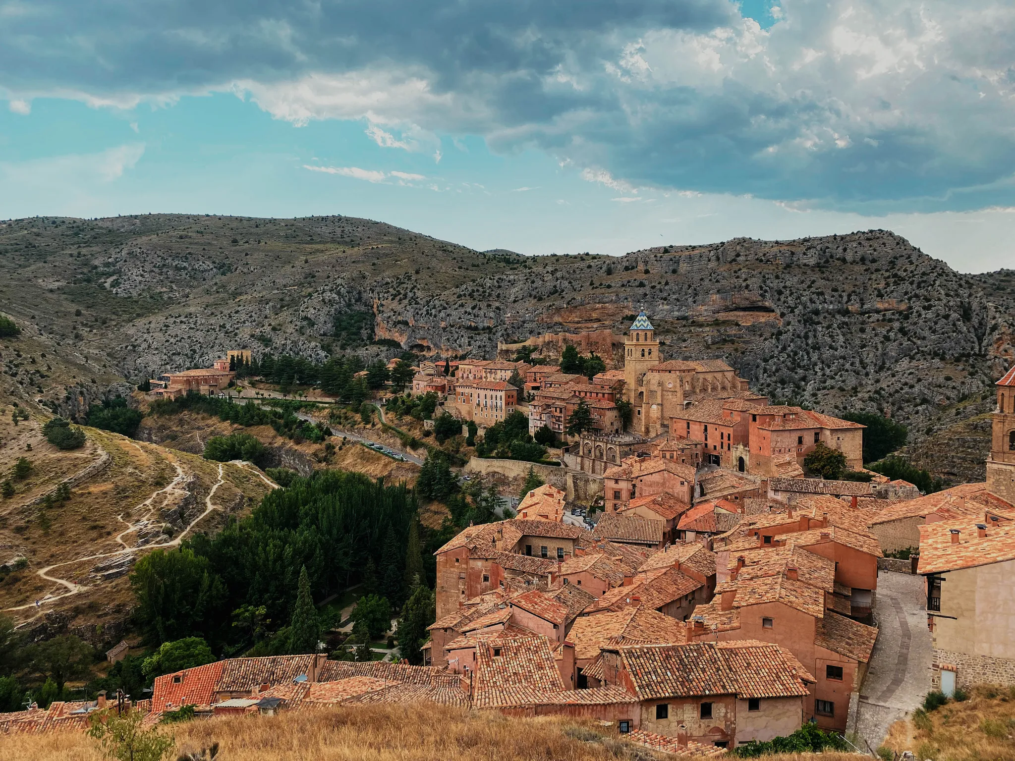
The Cathedral of El Salvador is located in the center of Albarracín, a city known for its challenging terrain, perched on a hill surrounded by the Guadalaviar River gorge. The bell tower is not only a functional element for housing the bells, but also a key component in the cathedral's aesthetics and silhouette.
4
0
In Albarracín, the steps leading to the old town are part of several picturesque and steep access points that allow you to discover the town's medieval charm.
18
0
Frequently Asked Questions
How many bus-accessible hiking trails are available in Jiloca?
There are 10 hiking routes in the Jiloca region that are easily accessible from bus stations. These trails offer a range of experiences, from short, easy walks to more moderate excursions.
Are there easy, family-friendly hiking options from bus stations in Jiloca?
Yes, Jiloca offers several easy, family-friendly routes accessible by bus. For example, the Main Square – Albarracín Old Town loop from Albarracín is an easy 4 km trail, perfect for a leisurely stroll. Another great option is the Hiking loop from San Blas, which is just over 2.5 km and also rated easy.
What kind of natural features can I expect to see on bus-accessible hikes in Jiloca?
Jiloca's bus-accessible trails often showcase the region's unique 'water and rock' elements. You can explore riverbanks, dramatic canyons, and even unique springs. The region is known for karst reliefs and multiple springs, such as the famous Aguallueve de Anento, where water continuously falls in drops, creating a distinctive landscape of stone and moss.
Are there any circular hiking routes that start from bus stations in Jiloca?
Yes, many of the bus-accessible routes in Jiloca are circular, allowing you to start and end your hike at the same point, often conveniently near a bus stop. Examples include the Main Square – Portal de Molina, Albarracín loop from Albarracín and the Mud – Cabrerizo Viewpoint loop from Albarracín.
What historical or cultural attractions can I find near bus-accessible trails in Jiloca?
The Jiloca region is rich in history, with architectural gems integrated into the natural landscape. You can visit the Roman bridge of Luco de Jiloca, or explore settlements like Calamocha and Monreal del Campo. The region also features impressive structures like the Jaraba sanctuary and Peracense castle, which are built directly into the rock.
What is the best time of year to hike in Jiloca from bus stations?
The diverse terrains of Jiloca, from riverine landscapes to steppes, offer different experiences throughout the year. Spring and autumn generally provide the most pleasant temperatures for hiking. However, some trails are suitable for winter hikes, especially those with lower elevation, allowing you to enjoy the serene beauty of the region in colder months.
Are the bus-accessible hiking trails in Jiloca suitable for dogs?
While specific regulations can vary, many outdoor trails in Jiloca are generally dog-friendly, especially if your dog is well-behaved and kept on a leash. It's always a good idea to check local signage and ensure you carry water for your pet, particularly on longer routes like the Lázaro Shelter loop from Albarracín.
What do other hikers enjoy most about the bus-accessible trails in Jiloca?
The komoot community highly rates the trails in Jiloca, with an average score of 4.55 stars. Hikers often praise the region's diverse landscapes, the unique natural features like the 'water and rock' formations, and the convenience of accessing trails directly from bus stations, making for a car-free adventure.
Are there any challenging trails accessible by bus in Jiloca?
While many routes are easy to moderate, some trails offer more significant elevation gain and require good fitness. For instance, the Main Square – Portal de Molina, Albarracín loop from Albarracín is a moderate 10 km trail with over 270 meters of elevation gain, providing a good workout for those seeking a challenge.
Can I spot wildlife while hiking from bus stations in Jiloca?
Yes, Jiloca is home to diverse ecosystems, including the Gallocanta Lagoon Nature Reserve, a significant ecological site. While specific wildlife sightings are never guaranteed, hiking in the region's natural areas, especially near wetlands and riverbanks, offers opportunities for birdwatching and observing local fauna.
Most popular routes around Jiloca
Most popular attractions around Jiloca

Get inspired with the komoot mobile app


Explore more
Browse the best Hikes in other regions.
