The best hikes from bus stations around Alto Andarax
4.5
(473)
2,072
hikers
14
hikes
Bus station hiking trails around Alto Andarax are set within the province of Almería, Spain, characterized by its diverse landscapes. The region features high mountains, including parts of the Sierra Nevada Natural Park and the Sierra de Gádor, alongside the fertile Andarax River Valley. This area presents a contrast of terrains, from high-altitude peaks to more arid environments with deep ravines and vineyards.
Best bus station hiking trails around Alto Andarax
- The most popular bus station hiking route is Millennial…
Last updated: July 7, 2026
4.7
(30)
98
hikers
8.15km
02:44
350m
330m
Moderate hike. Good fitness required. Mostly accessible paths. Sure-footedness required.
4.7
(11)
45
hikers
Moderate hike. Good fitness required. Easily-accessible paths. Suitable for all skill levels.

Sign up for free
3
hikers
12.9km
04:27
570m
590m
Moderate hike. Good fitness required. Mostly accessible paths. Sure-footedness required.
1
hikers
20.2km
06:01
640m
630m
Hard hike. Very good fitness required. Easily-accessible paths. Suitable for all skill levels.
2
hikers
Hard hike. Very good fitness required. Mostly accessible paths. Sure-footedness required.
Get access to more routes and recommendations from other explorers.
Sign up for free
Already have an account?
Our route recommendations are based on thousands of hikes, rides, and runs completed by other people on komoot.
Start today with a free account
Your next adventure awaits.
Login or Signup
Popular around Alto Andarax
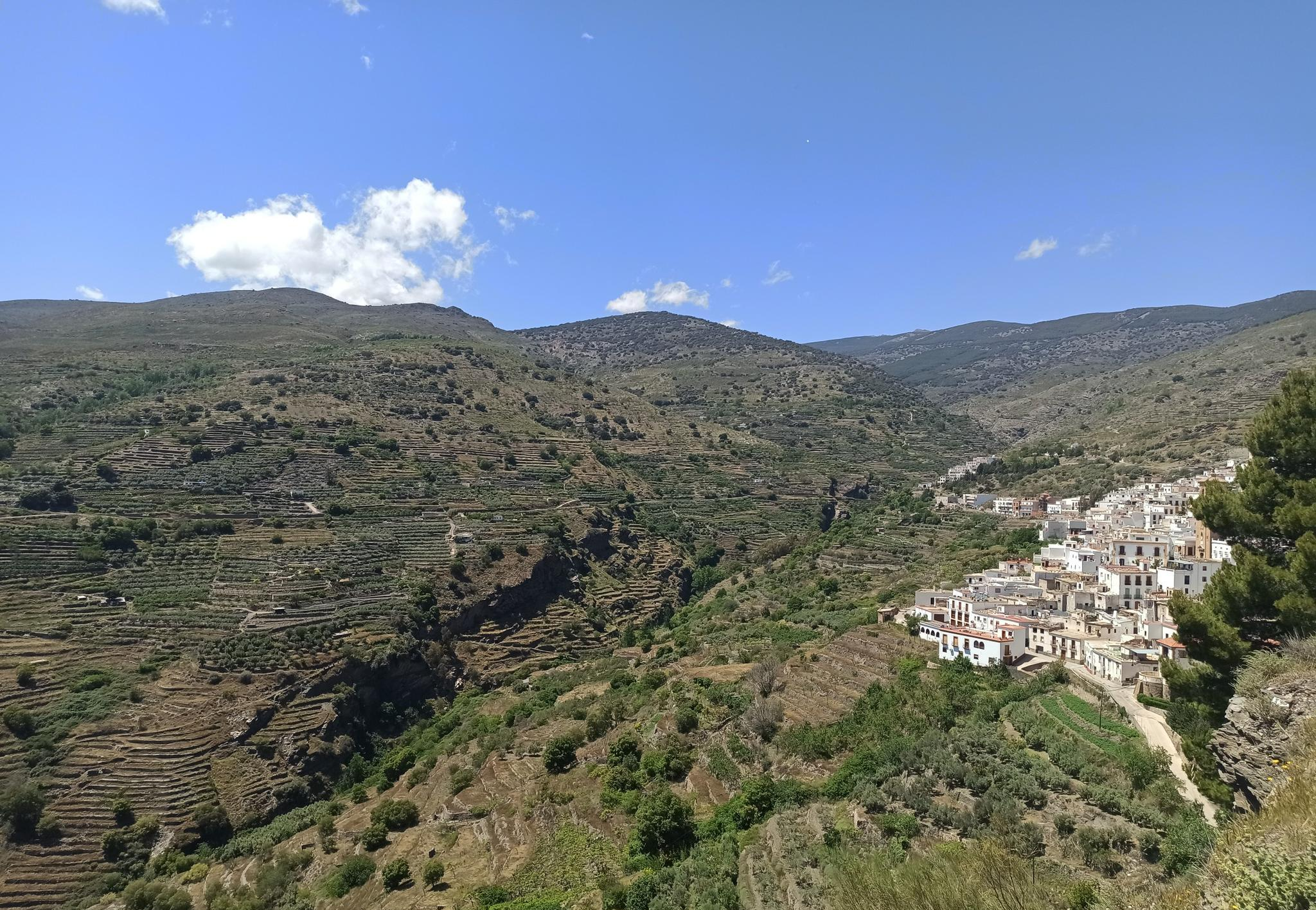
Among white villages - Path of the Alpujarra (GR 142)
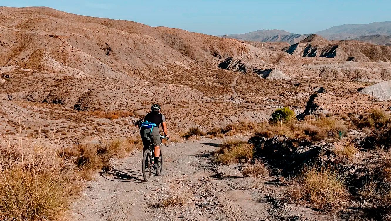
TransAlmería Gravel – Summits, dry riverbeds and deserts

On the road to the sun — bikepacking to southeast Spain
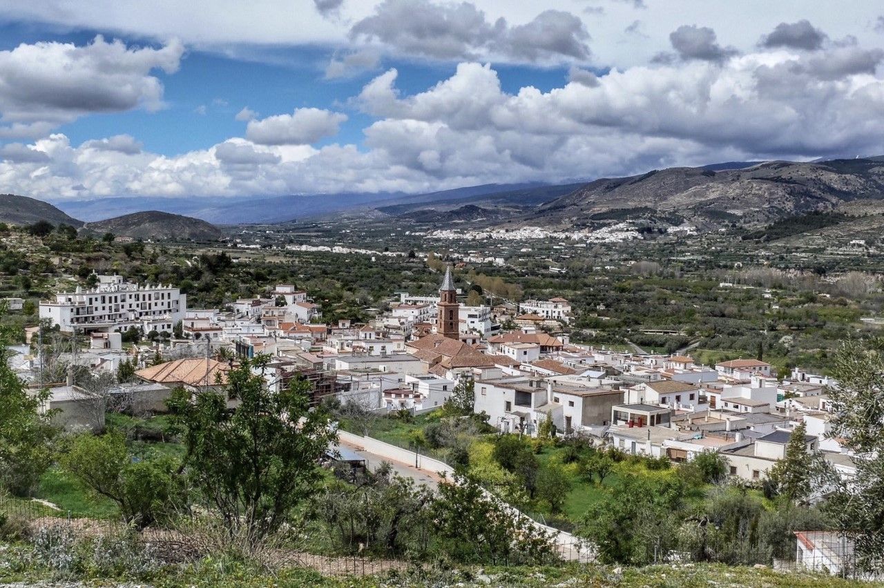
Gullies and summits – TransAlmería by MTB (Las Alpujarras)
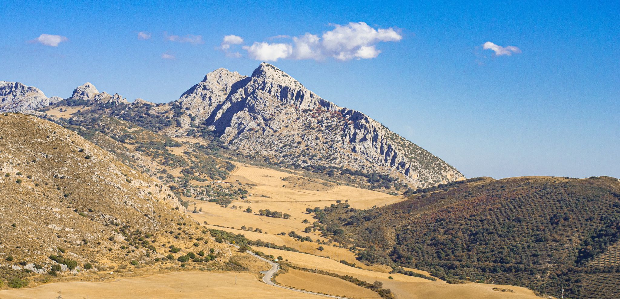
The beauty of the Andalusian mountains – Transandalus southern section
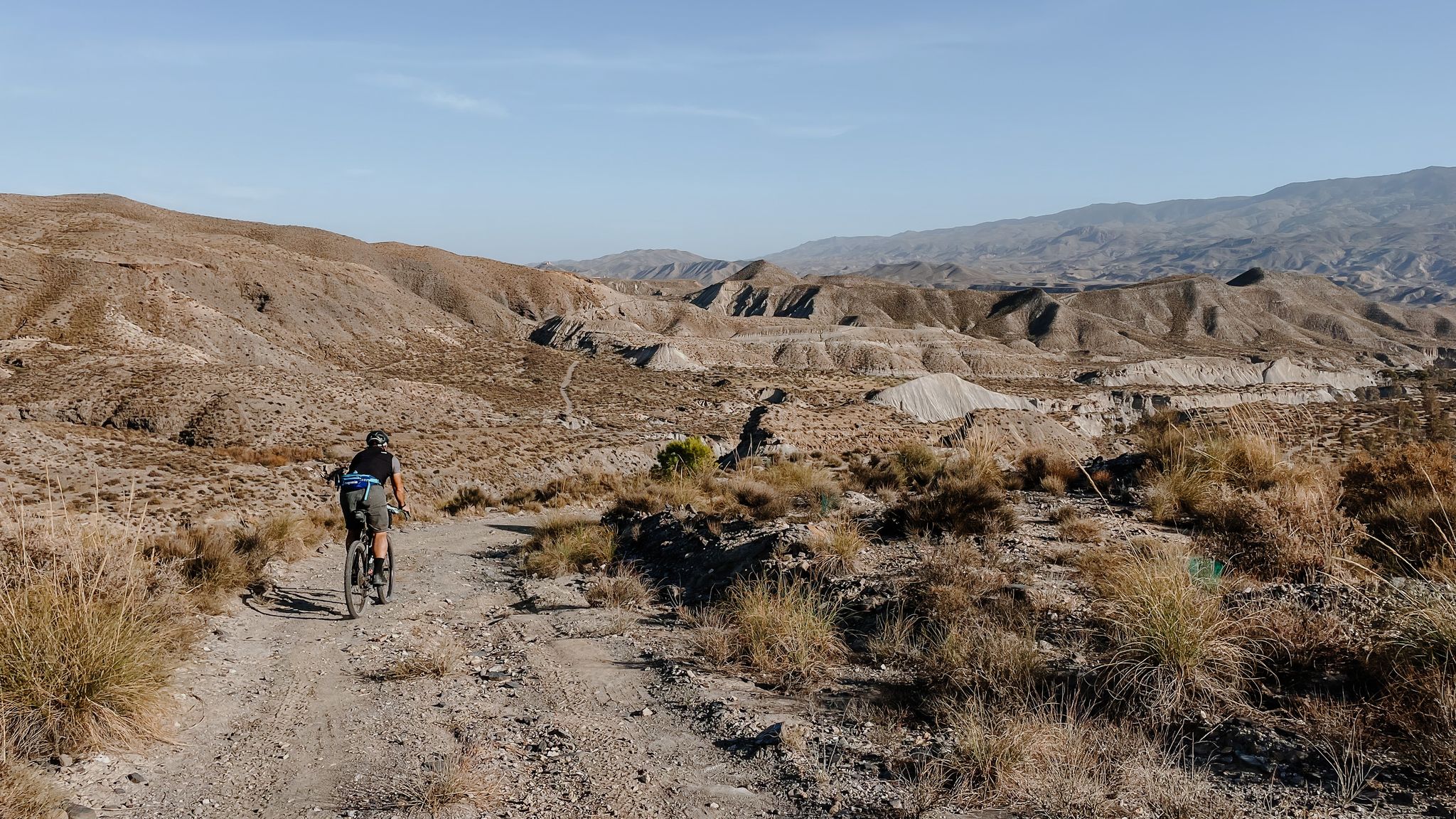
High mountains, desert and sea – an adventure of contrasts in Andalusia

Let’s head south – cycle in Andalusia with me and my dog
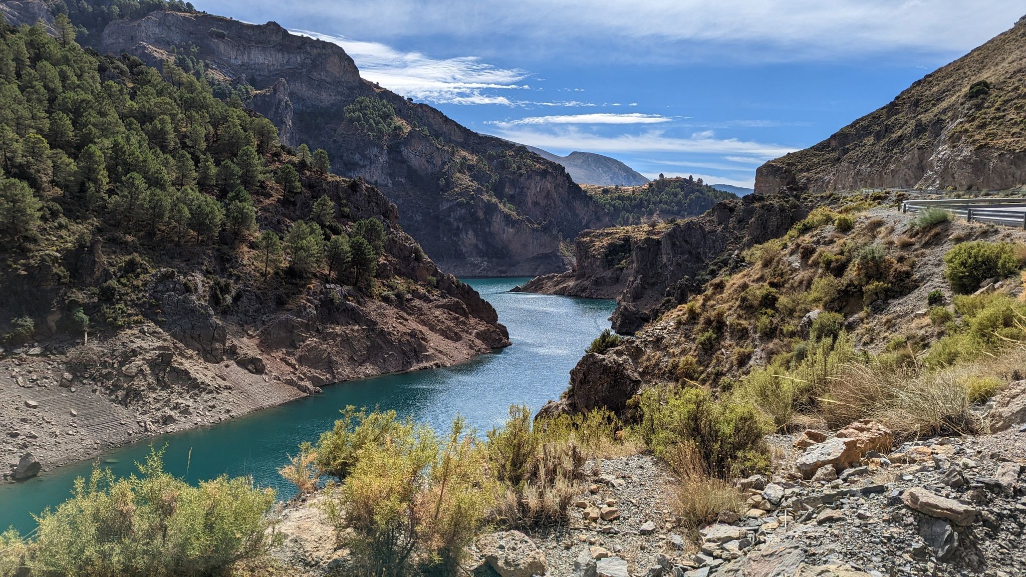
A journey through the Spanish hinterland – cycling across Andalusia
Other adventures around Alto Andarax


Tips from the Community

With an altitude of 1,258 meters above sea level, Bayárcal is the highest town in the province of Almería. Its beautiful traditional complex is located in the foothills of the Sierra Nevada National Park.
0
0

The highest town in Almería, on the edge of the Sierra Nevada National Park and also on the border of the province of Granada. It was repopulated with Navarro settlers after the expulsion of the Moors, and it is for this reason that its patron saint is San Francisco Javier.
2
1
This town, on the right bank of the Nacimiento River, belongs to the Sierra Nevada Natural Park. The cultivation of the Ohanes grape was very important here during the 19th century, which, after successive droughts in the 20th century, was lost and was replaced by the cultivation of other fruit trees and orchards.
5
0
Place of great geological diversity whose geological materials correspond to the metamorphic of the nevadofilábride and the sedimentary of the so-called alpujárride. In this ravine, or boulevard, we can see small "cerradas" made of conglomerates and clay.
5
0
Cordel from the foothills of the Sierra Nevada Almeriense, at its easternmost end. It is located in the Comarca del Medio Andarax, sub-region of Bajo Nacimiento.
4
0
Bayárcal is the highest town in Almería. It is on the edge of the Sierra Nevada National Park and also on the border of the province of Granada. It was repopulated with Navarrese settlers after the expulsion of the Moors, and it is for this reason that its patron saint is San Francisco Javier.
3
0
This dense deciduous forest congregates in the depression formed by the Bayárcal river, which in autumn goes through the entire range of colors between green, yellow and red.
4
0
Good views of the valley and the change of vegetation in the low mount.
2
0
Frequently Asked Questions
How many bus-accessible hiking trails are available in Alto Andarax?
There are 14 bus-accessible hiking trails in Alto Andarax, offering a range of experiences from easy strolls to more challenging mountain treks. The region is well-suited for exploring by public transport, connecting you to various trailheads.
What is the general difficulty level of bus station hikes in Alto Andarax?
The bus-accessible hikes in Alto Andarax cater to various fitness levels. You'll find 5 easy routes, 7 moderate routes, and 2 difficult routes. This diversity ensures there's a suitable option whether you're looking for a relaxed walk or a more strenuous adventure.
Are there any family-friendly hiking options accessible by bus in Alto Andarax?
Yes, several routes are suitable for families. While specific 'family-friendly' tags aren't always present, many of the easy and moderate trails, particularly those exploring the charming villages and river valleys, can be enjoyed with children. Look for routes with shorter distances and less elevation gain.
Can I bring my dog on the bus-accessible hiking trails in Alto Andarax?
Many trails in Alto Andarax are dog-friendly, but it's always best to check local regulations for specific routes and natural parks. When using public transport, ensure your dog complies with the bus operator's pet policy, which often requires them to be on a leash and sometimes muzzled or in a carrier.
What kind of natural features or landmarks can I expect to see on these hikes?
Alto Andarax offers a striking contrast of landscapes. You can expect to see dramatic high mountains, the fertile Andarax River valley with its lush vegetation, and unique geological formations like gorges and canyons. Notable features include The Canals of Padules, known for its recesses, jumps, and pools, and the high-altitude La Ragua Pass.
Are there any circular hiking routes that start from a bus station?
Yes, there are several circular routes accessible by bus. For example, the Millennial Chestnut Tree Trail - circular from Laroles (SL-A 272) offers a moderate 8 km loop. Another option is the Cañada de los Arquillos y Cordel de la Solana – circular desde Alboloduy (PR-A 16), a 12 km moderate hike.
What is the best time of year to hike in Alto Andarax using public transport?
The best time to hike in Alto Andarax is generally spring (April-May) and autumn (September-October) when temperatures are mild and the landscapes are vibrant. Summer can be very hot, especially in the lower valleys, while winter brings snow to the higher elevations of the Sierra Nevada, offering different challenges and scenic beauty. Always check local weather conditions before you go.
Are there any bus-accessible routes that pass through charming villages?
Absolutely. The region is dotted with picturesque Alpujarran villages. Routes often connect these settlements, allowing you to experience local culture and history. For instance, the Bayárcal and Laroles Loop is a moderate 12.8 km hike that takes you through these charming areas.
What amenities like cafes or pubs are available near the bus-accessible trailheads?
Many of the bus-accessible trailheads are located in or near villages such as Láujar de Andarax, Almócita, and Fondón. These villages typically offer cafes, restaurants, and sometimes small shops where you can refuel before or after your hike. It's advisable to check opening times, especially in smaller communities.
Do I need any special permits to hike in Alto Andarax, especially in the Sierra Nevada Natural Park?
For general day hiking on marked trails in Alto Andarax, including those within the Sierra Nevada Natural Park, permits are typically not required. However, if you plan to undertake specific activities like overnight stays, climbing, or accessing very sensitive areas, it's always best to consult the official Sierra Nevada Natural Park authority for any specific regulations or permit requirements.
What do other hikers enjoy most about the bus-accessible trails in Alto Andarax?
The komoot community highly rates the trails in Alto Andarax, with an average score of 4.5 stars. Hikers frequently praise the stunning diversity of landscapes, from high mountain views to lush river valleys, and the opportunity to explore charming, traditional villages. The well-maintained paths and the sense of tranquility are also often highlighted.
Most popular routes around Alto Andarax
Most popular attractions around Alto Andarax

Get inspired with the komoot mobile app


Explore more
Browse the best Hikes in other regions.
