The best city hikes and walks around Bajo Bidasoa
4.5
(4333)
34,685
hikers
24
hikes
Urban hiking trails around Bajo Bidasoa are characterized by their location along the lower Bidasoa River and the Bay of Txingudi, bordering France. The region offers a mix of coastal paths, river routes, and urban landscapes. Terrain includes gentle elevations along the riverbanks and bay, providing accessible walking experiences. This area is defined by its connection to the Bidasoa River and its proximity to historic towns.
Best urban hiking trails around Bajo Bidasoa
- The most popular urban hiking route is Fountain – Isla de los Faisanes loop from Estación de Metro Donostialdea, a 5.6 miles (9.0 km) trail that takes about 2 hours 21 minutes to complete. This moderate route features views of the Bidasoa River and Pheasant Island.
- Another top favourite among local hikers is Ibarla – Bidasoa Greenway loop from Irun, a moderate 6.4 miles (10.3 km) path. This trail follows sections of the Bidasoa Greenway, offering riverside scenery.
- Local hikers also love the Zabaltza Square – Fountain loop from Irun, a 3.3 miles (5.3 km) trail leading through urban areas, often completed in about 1 hour 22 minutes.
- Hiking around Bajo Bidasoa is defined by coastal paths, the Bidasoa River, and urban landscapes. The network offers options for different ability levels, from easy strolls to moderate urban hiking trails.
- The routes in Bajo Bidasoa are highly rated by the komoot community with an average score of 4.4 stars from more than 1,400 reviews. More than 10,000 hikers have used komoot to explore Bajo Bidasoa's varied terrain.
Last updated: July 7, 2026
4.2
(18)
171
hikers
8.96km
02:20
60m
60m
Moderate hike. Good fitness required. Easily-accessible paths. Suitable for all skill levels.
4.6
(10)
145
hikers
10.3km
02:40
50m
50m
Moderate hike. Good fitness required. Easily-accessible paths. Suitable for all skill levels.

Sign up for free
3.9
(7)
45
hikers
5.30km
01:23
40m
40m
Easy hike. Great for any fitness level. Easily-accessible paths. Suitable for all skill levels.
5.0
(1)
34
hikers
8.41km
02:11
50m
50m
Moderate hike. Good fitness required. Easily-accessible paths. Suitable for all skill levels.
18
hikers
4.47km
01:08
10m
10m
Easy hike. Great for any fitness level. Easily-accessible paths. Suitable for all skill levels.
Get access to more routes and recommendations from other explorers.
Sign up for free
Already have an account?
Our route recommendations are based on thousands of hikes, rides, and runs completed by other people on komoot.
Start today with a free account
Your next adventure awaits.
Login or Signup
Popular around Bajo Bidasoa
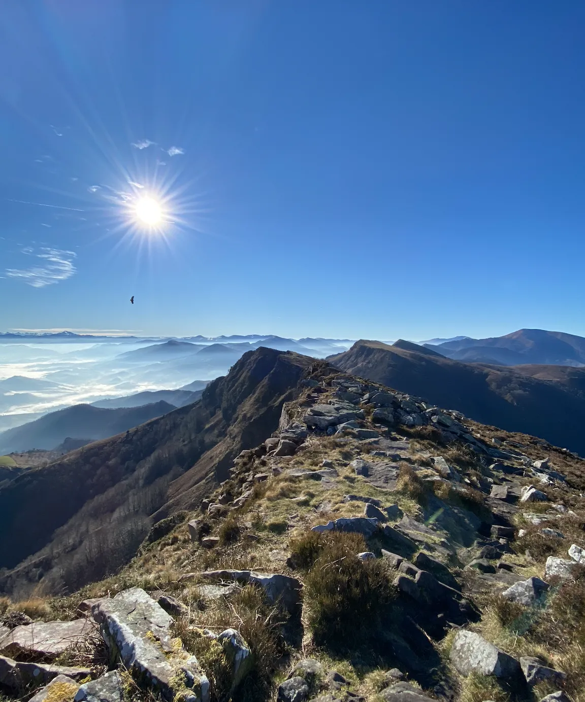
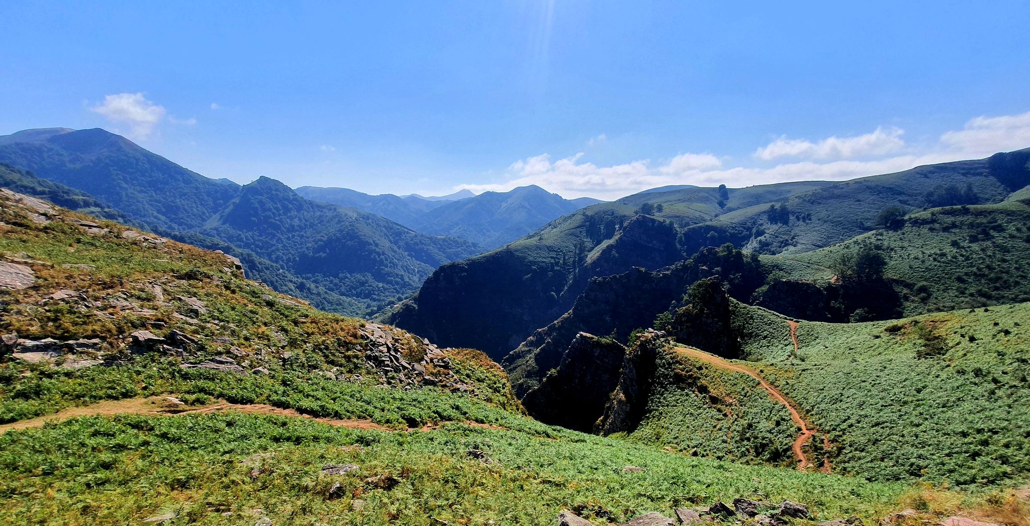
The coast to the mountains – the best hikes in Spain’s Basque Country
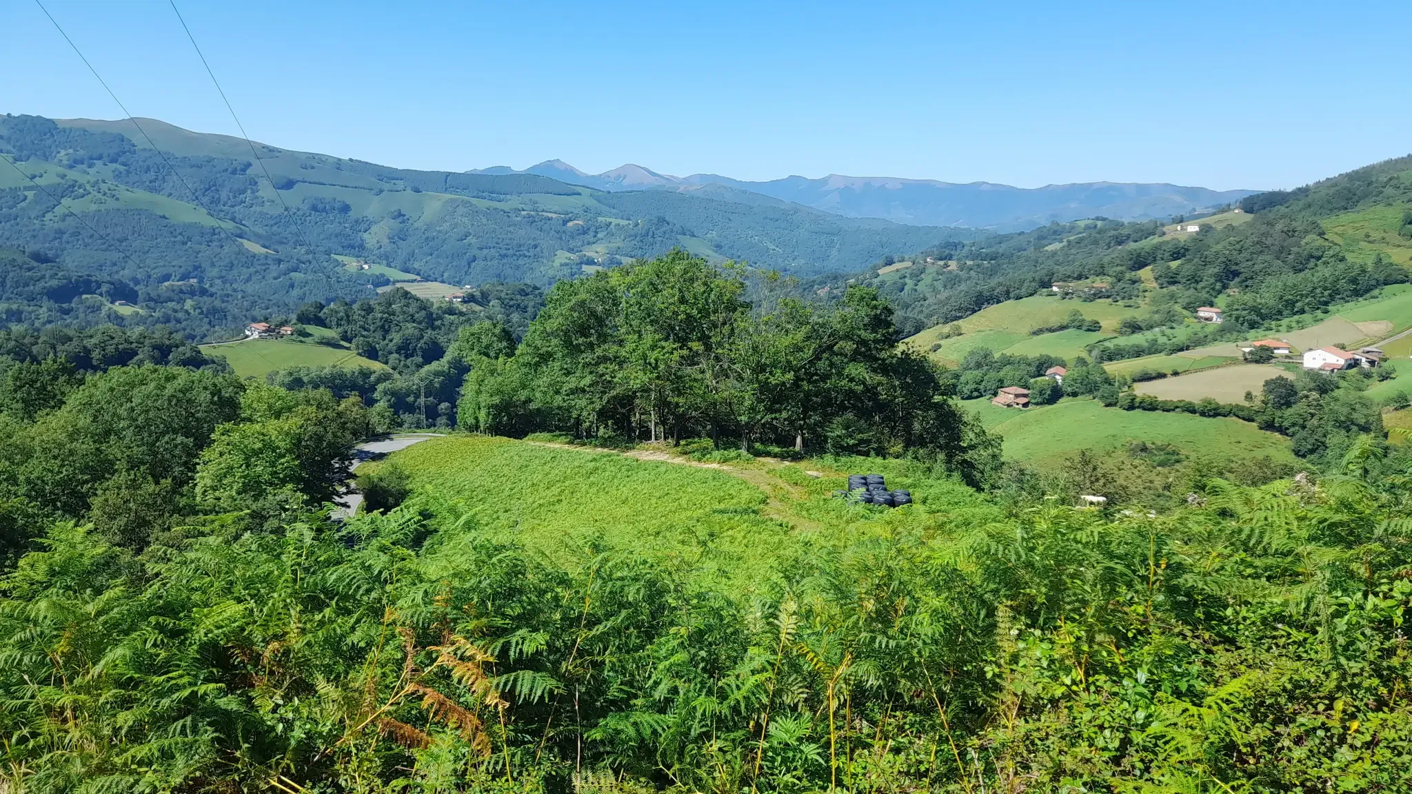
Discover the Basque Country and Navarre on the Pyrenean Path – GR 11
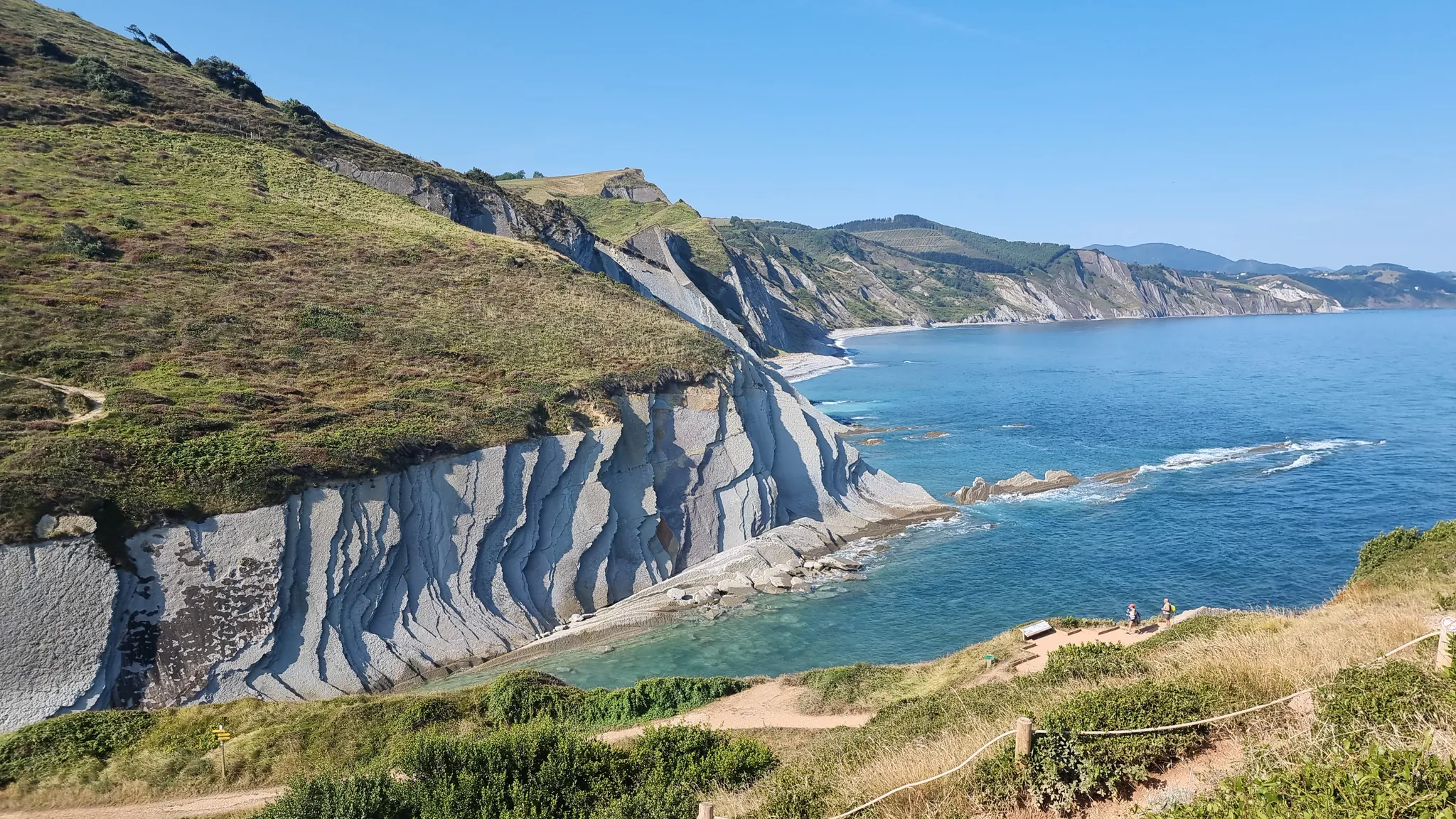
Between the sea and the mountains — GR 121: Tour of Guipúzcoa
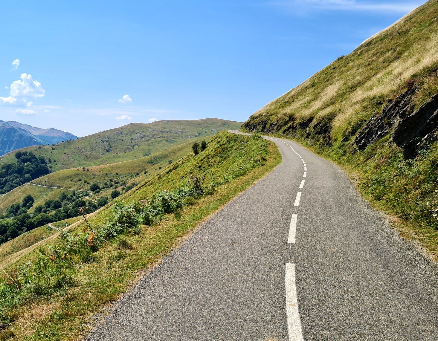
Basque Country mountain passes – Panorama rides
A land rich in character – running in the Basque Country
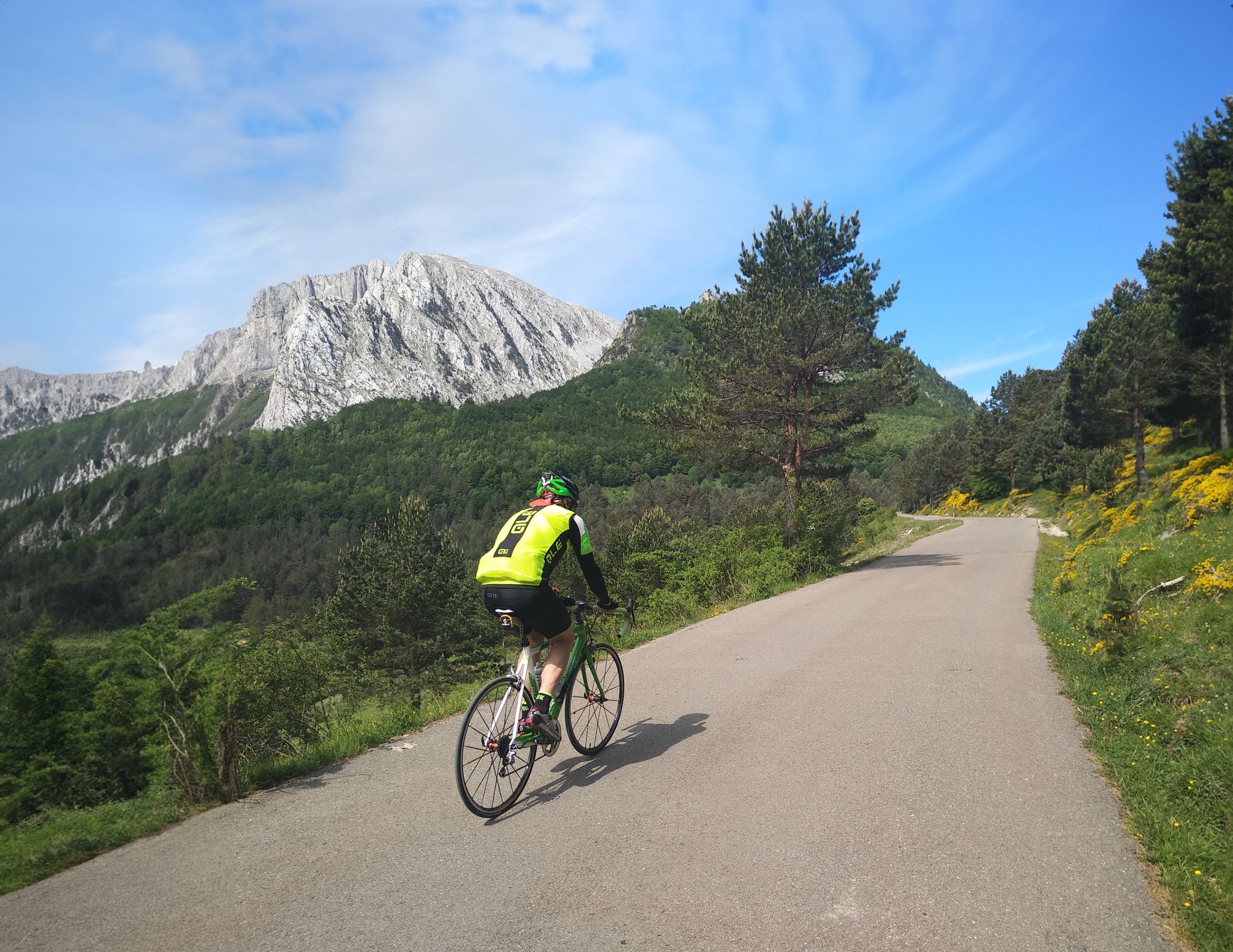
The Bay of Biscay to the Mediterranean — southern Pyrenees cycle tour
Other adventures around Bajo Bidasoa


Tips from the Community

Bridge over the border river Bidasoa/La Bidassoa between Spain and France
1
0

The Bidasoa reaches the Cantabrian Sea at Txingudi bay next to Cape Higuer between Hendaye and Hondarribia, forming the Chingudi wetlands that include Jaizubia floodplains, Plaiundi. The Bidasoa islands and Fiasan (Pheasant) Island. After Urdaibai in Bizkaia, this area is the second largest maritime wetland in the Basque Country. In 1988 Plaiaundi Environmental Park was created within the wetlands, an excellent example of how to restore a dried up degraded wetland to its original state.
0
0

A comfortable route through Lapurdi, a circular route departing from Irun, traveling inland through Urruña and Ascain, returning to the coast via Donibane-Lohitzun and following the coast through Hendaye to the starting point.
1
1

This bridge connects Spain and France. Completed in 1915, it has witnessed many refugee movements in both directions. It is now a pedestrian/bicycle bridge.
1
0

it goes from Hendaye beach to Behobia connecting with those of Irun. Nice for walking, running or cycling, it is usually very crowded
1
0
Central urban square with a pavilion and statue, across the street from the Tourist office.
3
0

Idyllic and car-free cycle path.
5
1

Apparently a new section. Not visible on Komoot.
5
1
Frequently Asked Questions
What kind of urban hiking trails can I find in Bajo Bidasoa?
Bajo Bidasoa offers a diverse range of urban hiking trails, primarily easy to moderate, that explore the unique blend of coastal, riverine, and historic town landscapes. You'll find paths along the Bidasoa River, through charming towns like Hondarribia, and routes offering views of the Bay of Txingudi. There are 25 urban hiking routes available in this guide, with 17 rated as easy and 8 as moderate.
Are there any easy urban walks suitable for beginners or families?
Yes, Bajo Bidasoa has many easy urban walks perfect for beginners or families. For instance, the Zabaltza Square – Fountain loop from Irun is an easy option. Another accessible choice is the Bidasoa Greenway loop from Pheasant Island, which offers a pleasant stroll along the river.
What are some notable landmarks or attractions I can see along the urban trails?
Many urban trails in Bajo Bidasoa pass by significant landmarks and natural features. You can explore the historic town of Hondarribia with its medieval areas and the Marina neighborhood. Routes often offer views of the Bay of Txingudi and the Bidasoa River. You might also encounter historical sites like the Fort of Nuestra Señora de Guadalupe or the Ermita de Guadalupe.
Are there any circular urban walks available in the region?
Yes, many urban hiking trails in Bajo Bidasoa are circular, allowing you to start and end at the same point. Examples include the Fountain – Isla de los Faisanes loop from Estación de Metro Donostialdea and the Ibarla – Bidasoa Greenway loop from Irun, both offering engaging circular experiences.
What do other hikers enjoy most about urban hiking in Bajo Bidasoa?
The komoot community highly rates urban hiking in Bajo Bidasoa, with an average score of 4.4 out of 5 stars from over 1,400 ratings. Reviewers often praise the region's diverse scenery, combining river views, coastal paths, and charming historic towns. The accessibility of many routes and the well-preserved cultural heritage are also frequently highlighted.
Can I reach the urban hiking trails using public transport?
Yes, many urban hiking trails in Bajo Bidasoa are accessible via public transport, especially those starting from towns like Irun and Hondarribia. These towns are well-connected, making it convenient to reach trailheads without a car. For specific route access, it's advisable to check local bus or train schedules.
Are there any urban trails that offer views of the Bay of Hendaye?
Absolutely. The unique geographical position of Bajo Bidasoa means several urban trails offer stunning views of the Bay of Txingudi and extend towards Hendaye. The Fountain – Bay of Hendaye loop from Irun Colon is a great example, providing picturesque vistas across the bay.
What is the best time of year for urban hiking in Bajo Bidasoa?
Bajo Bidasoa is enjoyable for urban hiking throughout much of the year. Spring and autumn offer pleasant temperatures and lush scenery, ideal for exploring. Summer can also be great, especially for coastal walks, though it can be warmer. Even in winter, many urban paths remain accessible, providing a different, often quieter, experience.
Are there any urban trails that follow the Bidasoa River?
Yes, the Bidasoa River is a central feature of the region, and several urban trails follow its course. The Bidasoa Greenway, in particular, offers excellent opportunities for riverside walks. Routes like the Ibarla – Bidasoa Greenway loop from Irun are perfect for experiencing the natural landscapes along the river.
Where can I find parking for urban hikes in Bajo Bidasoa?
Parking is generally available in the main towns and starting points for urban hikes, such as Irun and Hondarribia. Many routes begin near urban centers where public parking facilities can be found. It's recommended to check specific parking options for your chosen trailhead in advance, especially during peak seasons.
Are there any urban trails that pass through historic areas?
Yes, Bajo Bidasoa is rich in history, and many urban trails weave through historic areas. Hondarribia, for example, boasts one of the best-preserved medieval old towns in Gipuzkoa, and routes often pass through its charming streets and past monuments like the Castle of Charles V. You can immerse yourself in the region's heritage while enjoying a walk.
Most popular routes around Bajo Bidasoa
Most popular attractions around Bajo Bidasoa

Get inspired with the komoot mobile app


Explore more
Browse the best Hikes in other regions.
