The best hikes from bus stations around Río Mula
4.5
(1295)
5,671
hikers
39
hikes
Bus station hiking trails around Río Mula traverse a diverse landscape shaped by the Mula River, which flows through varied terrain from its mountainous source to its confluence with the Segura River. The upper river areas feature lush poplar forests, willows, and hawthorn, transitioning downstream to reeds and elms. Notable natural features include the Salto del Usero waterfall and numerous natural pools like El Estrecho and Caputa Fountain, often surrounded by travertine stone and set against pine forests and limestone…
Last updated: October 10, 2026
4.2
(5)
27
hikers
14.8km
04:23
430m
430m
Moderate hike. Good fitness required. Easily-accessible paths. Suitable for all skill levels.
5.0
(1)
16
hikers
7.30km
01:53
40m
40m
Easy hike. Great for any fitness level. Easily-accessible paths. Suitable for all skill levels.

4.0
(2)
4
hikers
12.2km
03:18
170m
170m
Moderate hike. Good fitness required. Easily-accessible paths. Suitable for all skill levels.
3.0
(1)
6
hikers
17.0km
04:30
160m
160m
Moderate hike. Good fitness required. Easily-accessible paths. Suitable for all skill levels.
4.0
(1)
7
hikers
5.65km
01:30
60m
60m
Easy hike. Great for any fitness level. Easily-accessible paths. Suitable for all skill levels.
Get access to more routes and recommendations from other explorers.
Already have an account?
Our route recommendations are based on thousands of hikes, rides, and runs completed by other people on komoot.
Start today with a free account
Your next adventure awaits.
Popular around Río Mula
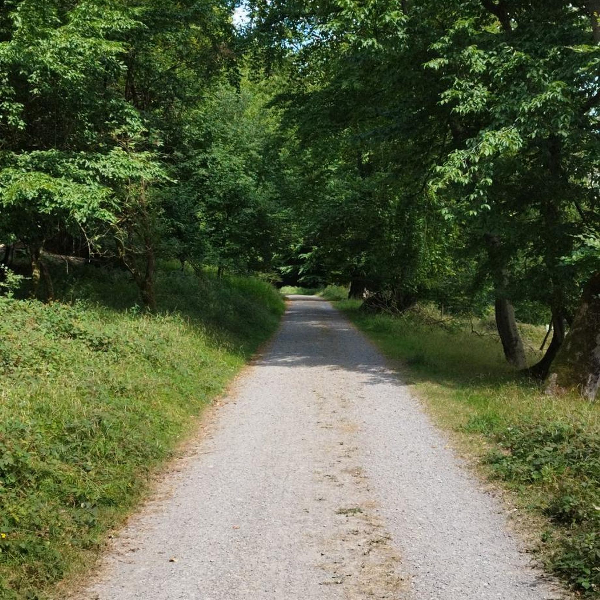
Hikes from bus stations in Zepa Sierra Del Molino, Embalse Del Quípar Y Llanos Del Cagitán
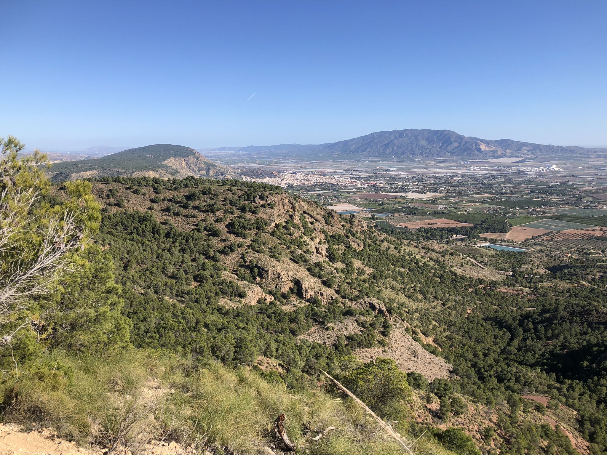
The lungs of Murcia in Spain – Sierra Espuña
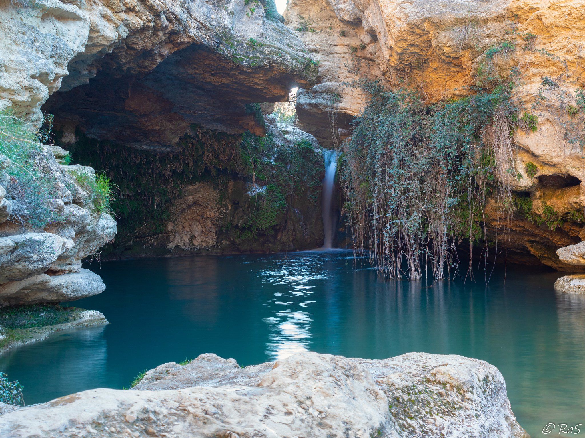
The Vera Cruz pilgrimage – Way of the Apostle (GR 250.1)
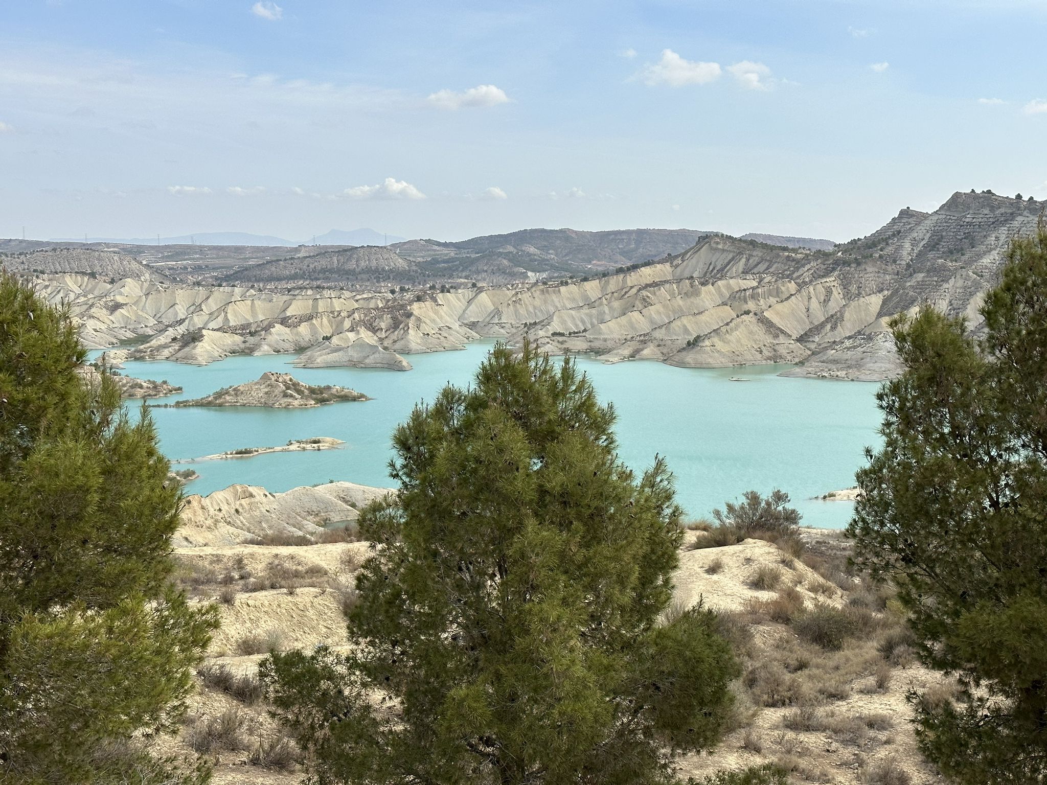
Disconnection in the mountains – Sierra Espuña by MTB
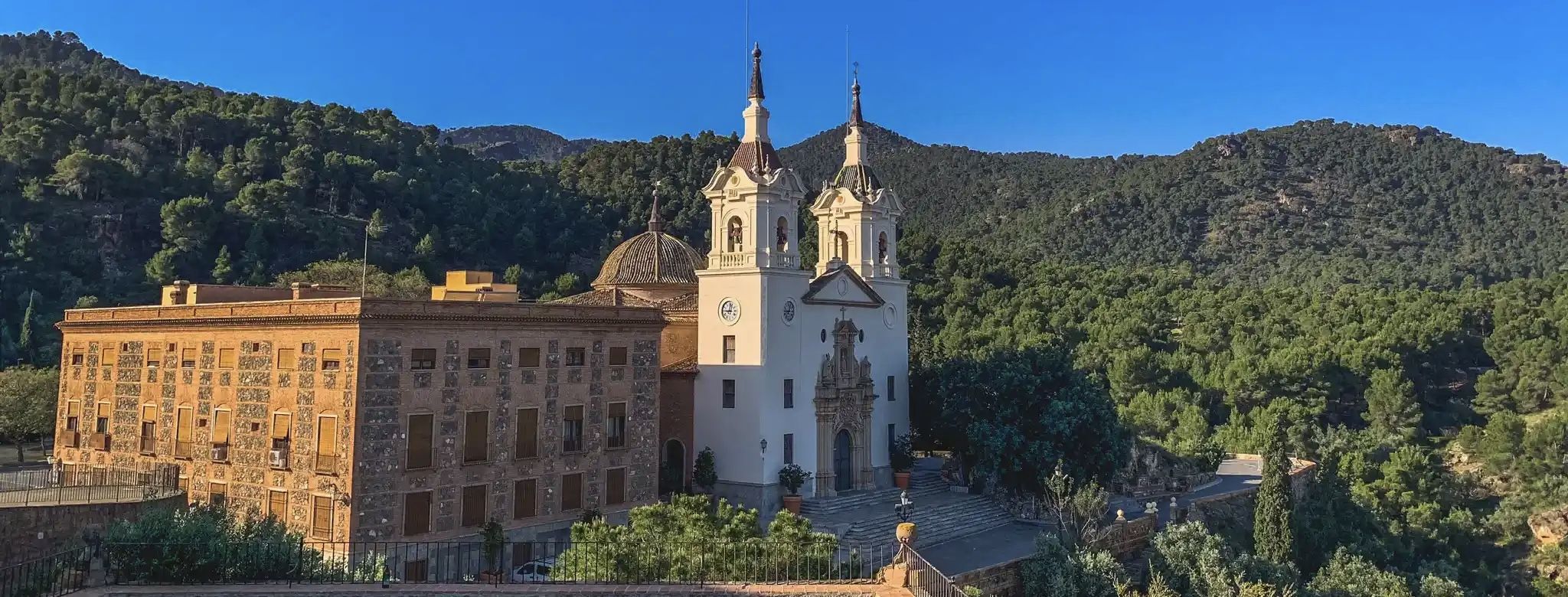
A ride through the "Huerta de Europa" – Transmurciana on MTB
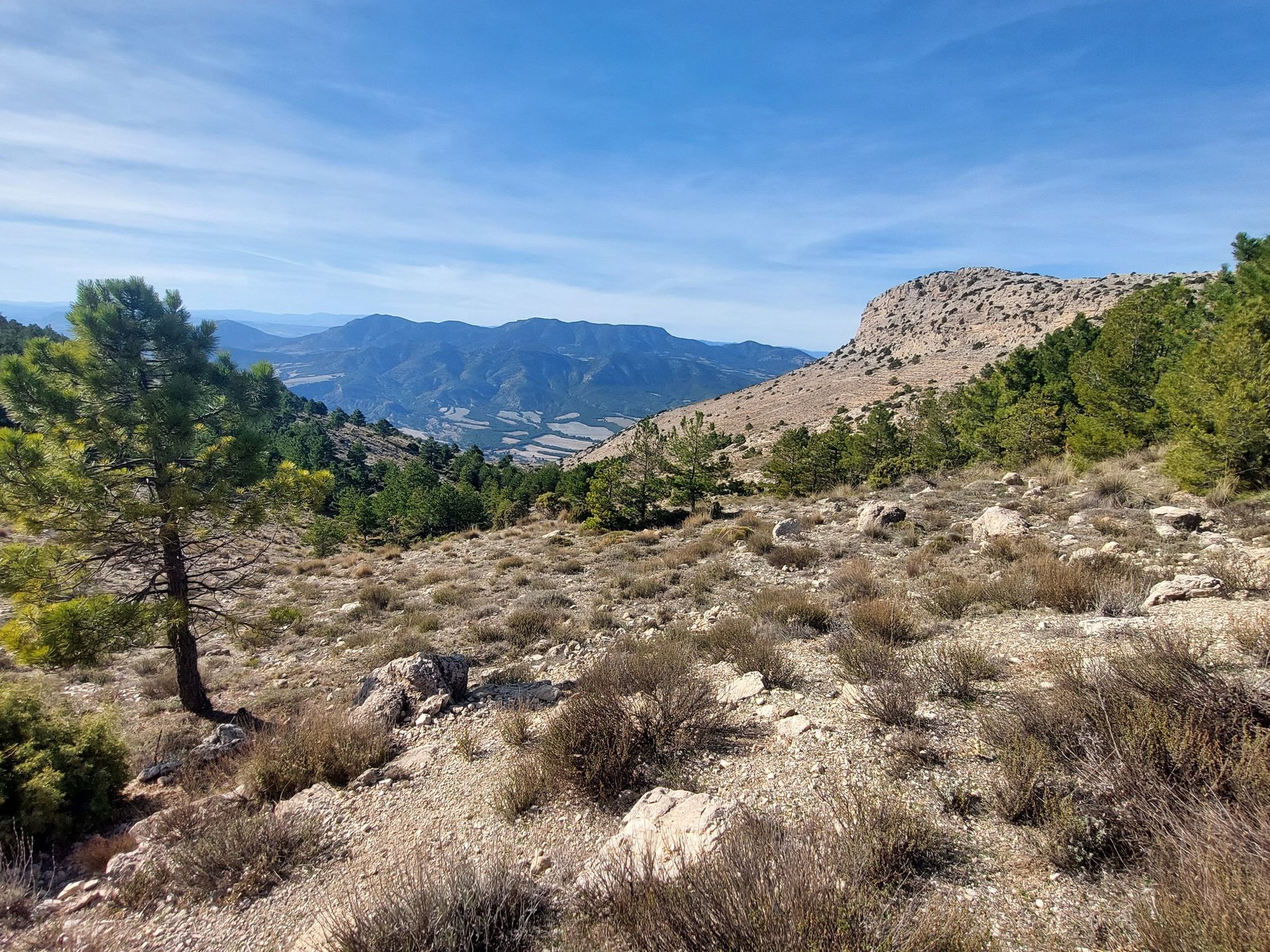
Badlands, limestone hills and pine forests – cycle around Sierra Espuña
The road to the Holy City – Spain’s Northwest Greenway
Other adventures around Río Mula


Tips from the Community

Impressive!
1
1

So beautiful: The Rambla de Algeciras reservoir is a crucial water reservoir in the Region of Murcia, Spain. It was built for flood control (of the Segura River), water storage, and irrigation regulation. The area offers many hiking and cycling opportunities and offers views of the nearby Barrancos de Gebas.
5
1

There are also some shops here...
0
0
This beautiful campsite near Mula is right in the heart of the action, surrounded by orange and lemon 🍋... 10 minutes away and you're in the thick of things.
0
1

along the canal, paved path. Several hikes are possible around the area.
1
1

The Mirador del Embalse de la Rambla de Algeciras is an observation point that offers stunning panoramic views of the reservoir and its surroundings. From this viewing point, visitors can enjoy the natural beauty of the region, including the waters of the reservoir and the mountainous landscape that surrounds it. It is an ideal place for nature and photography lovers, as it provides an excellent opportunity to capture the serenity and majesty of the surroundings. In addition, it is a good starting point for hiking and exploring the area.
7
0
Frequently Asked Questions
How many hiking trails are accessible from bus stations around Río Mula?
There are over 30 hiking trails around Río Mula that are easily accessible from bus stations, offering a convenient way to explore the region's natural beauty without a car. These routes cater to various fitness levels, with 12 easy, 17 moderate, and 1 difficult option.
What kind of terrain can I expect on the bus-accessible trails in Río Mula?
The terrain around Río Mula is quite diverse. You'll find lush riparian areas with poplar forests, willows, and walnut trees along the riverbanks, especially in the upper sections. Other areas feature more arid landscapes contrasting with the green valleys. Many trails follow well-maintained paths, but some may involve natural surfaces, including areas with travertine stone formations near pools and waterfalls. Expect a mix of river valleys and more open, sometimes rocky, terrain.
Are there any circular hiking routes accessible by bus in the Río Mula area?
Yes, the region offers several excellent circular routes that you can start and finish near bus stops. For example, consider the moderate route, The viewpoint of the Algeciras Reservoir — Circular from Alhama de Murcia, which provides stunning vistas. Another option is the View of Azud de Ojós Reservoir – Trail of the Moriscos loop from Ricote, offering a scenic loop through the landscape.
What natural attractions can I see along bus-accessible hiking trails in Río Mula?
The Río Mula area is rich in natural attractions. You can discover spectacular features like the Fuente Caputa Waterfall, known for its natural pools. Many trails also lead through diverse ecosystems, including the Sierra Espuña North-facing Slope with its forests, and areas with unique Rock Formations with Caves. The river itself offers numerous pools and scenic spots formed by its flow.
Are there any easy, family-friendly hikes from bus stations in Río Mula?
Absolutely! There are 12 easy routes suitable for families. A great option is the View of the Ricote Valley – View of the Sierra de la Pila loop from Ricote, which is an easy loop offering beautiful views. Another gentle walk is the Riverside Walk – Motorhome parking Archena loop from Archena, perfect for a leisurely stroll along the river.
What historical points of interest can be found near the hiking trails?
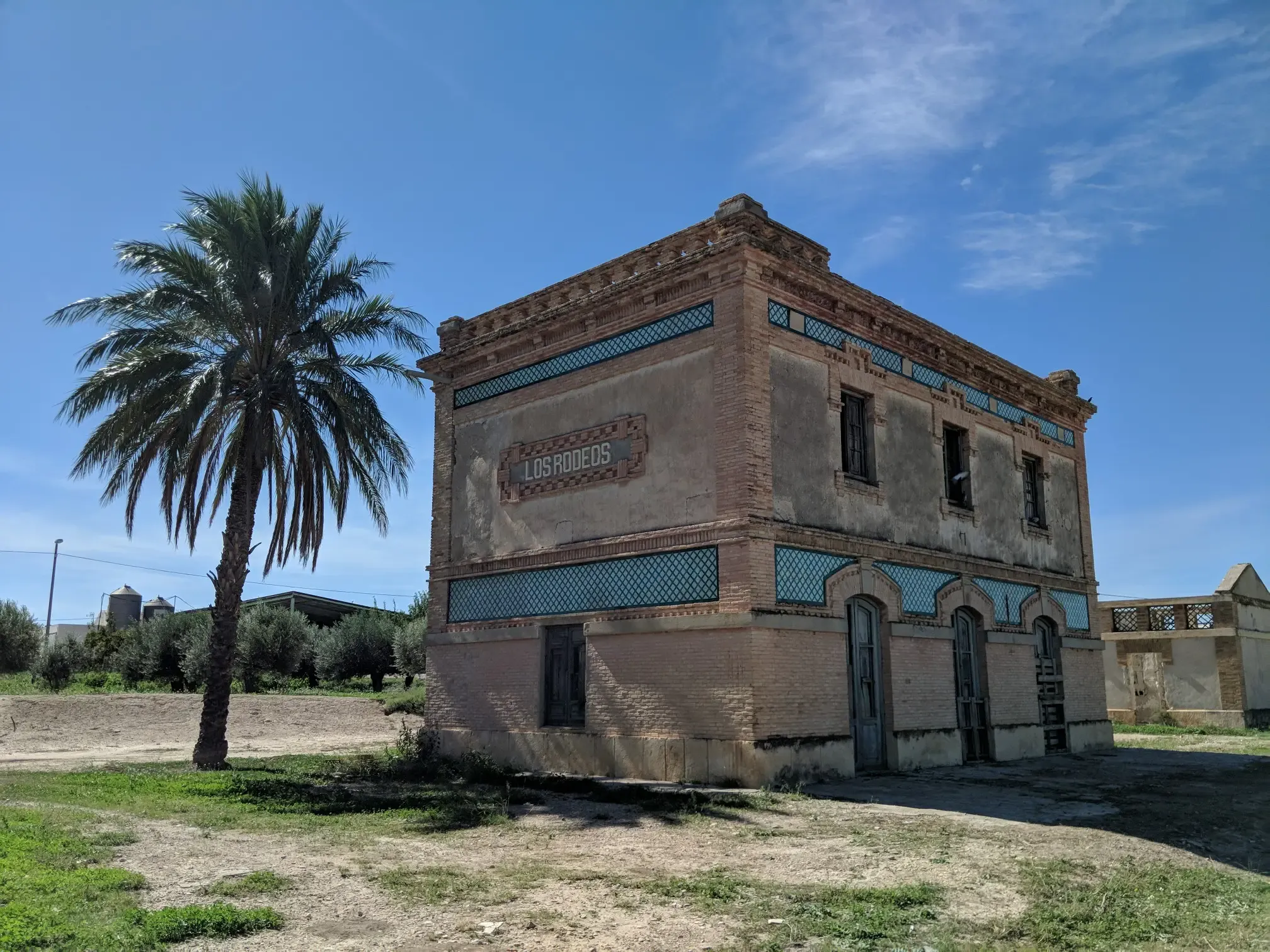
Beyond natural beauty, the region offers historical insights. You might encounter sites like the Old Los Rodeos railway station or the impressive Mula River Viaduct. The area also has remnants of ancient mills and historical structures, reflecting its rich past. The Old Baños de Mula Railway Station is another historical site you might pass.
What is the best time of year to hike in the Río Mula region?
The Río Mula region is enjoyable for hiking for much of the year. Spring and autumn offer pleasant temperatures, ideal for longer excursions, with blooming wildflowers in spring and vibrant foliage in autumn. Winter can also be a good time for hiking, with cooler, crisp air. Summers can be hot, so it's best to hike early in the morning or late in the afternoon, focusing on routes with shade or near water sources.
Are there any wild swimming spots or natural pools along the bus-accessible routes?
Yes, the Río Mula is known for its beautiful natural pools. The most famous is the Salto del Usero waterfall in Bullas, which forms an amazing pool. Other notable spots include El Estrecho, Pasico Ucenda, and Río Puente. The Caputa Fountain and Rambla Parea also offer magnificent natural pools with crystalline waters at different heights, nestled within pine forests. These spots provide refreshing opportunities during your hike.
What do other hikers enjoy most about the bus station accessible trails in Río Mula?
The komoot community highly rates the trails around Río Mula, with an average score of 4.5 stars from over 950 ratings. Hikers frequently praise the diverse landscapes, from lush riverine forests to dramatic rock formations and arid contrasts. The accessibility via public transport is also a significant plus, allowing visitors to explore the region's hidden gems and historical sites conveniently.
Are there any bus-accessible routes that offer views of the Ricote Valley?
Yes, the Ricote Valley is a prominent feature in the region, and several bus-accessible routes offer stunning views. The Ricote Valley loop from Archena is a moderate route that provides expansive vistas of this picturesque valley. Another excellent option is the easy View of the Ricote Valley – View of the Sierra de la Pila loop from Ricote, which is perfect for enjoying the scenery.
Most popular routes around Río Mula
Most popular attractions around Río Mula

Get inspired with the komoot mobile app


Didn’t find what you were looking for?
Check out more Hikes throughout Río Mula below and find the perfect route in your destination.
Explore more
Browse the best Hikes in other regions.
