The best traffic-free bike rides around Orense
5.0
(1)
48
riders
14
rides
Gravel biking around Orense offers diverse and often challenging terrain, characterized by numerous rivers, mountains, and valleys. The region's geography provides an extensive network of natural paths and quiet roads suitable for exploration. Riders can expect varied landscapes, from river valleys to rolling hills and historic areas. This makes Orense a compelling destination for those seeking no traffic gravel bike trails.
Best no traffic gravel bike trails around Orense
- The most popular no traffic gravel bike trail is A Boutureira…
Last updated: July 7, 2026
5
riders
Hard gravel ride. Very good fitness required. Mostly paved surfaces. Suitable for all skill levels.
5.0
(1)
3
riders
18.9km
01:22
240m
240m
Moderate gravel ride. Good fitness required. Mostly paved surfaces. Suitable for all skill levels.

Sign up for free
3
riders
119km
09:31
2,420m
2,420m
Hard gravel ride. Very good fitness required. Mostly paved surfaces. Suitable for all skill levels.
2
riders
22.8km
01:49
430m
430m
Moderate gravel ride. Good fitness required. Mostly paved surfaces. Suitable for all skill levels.
1
riders
Hard gravel ride. Very good fitness required. Mostly paved surfaces. Suitable for all skill levels.
Get access to more routes and recommendations from other explorers.
Sign up for free
Already have an account?
Our route recommendations are based on thousands of hikes, rides, and runs completed by other people on komoot.
Start today with a free account
Your next adventure awaits.
Login or Signup
Popular around Orense
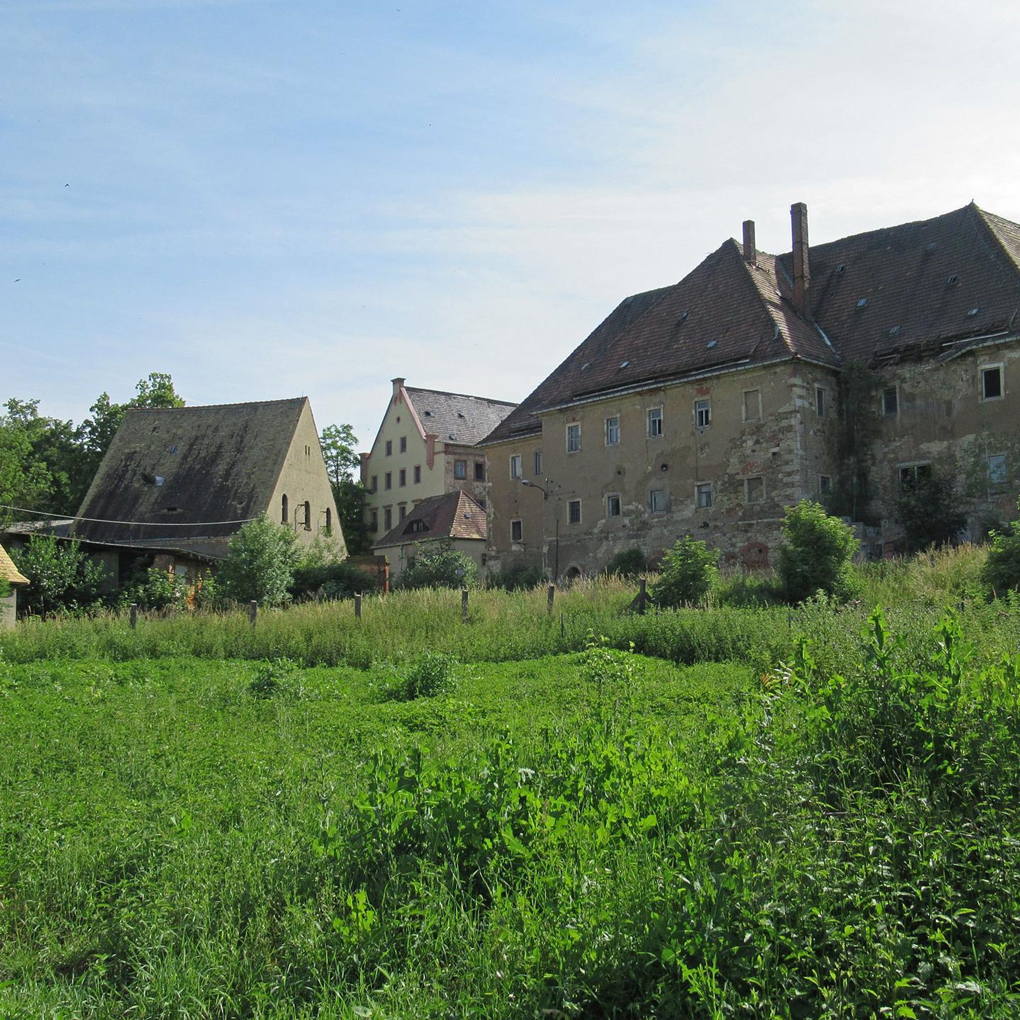
Traffic-free bike rides around Barbadás
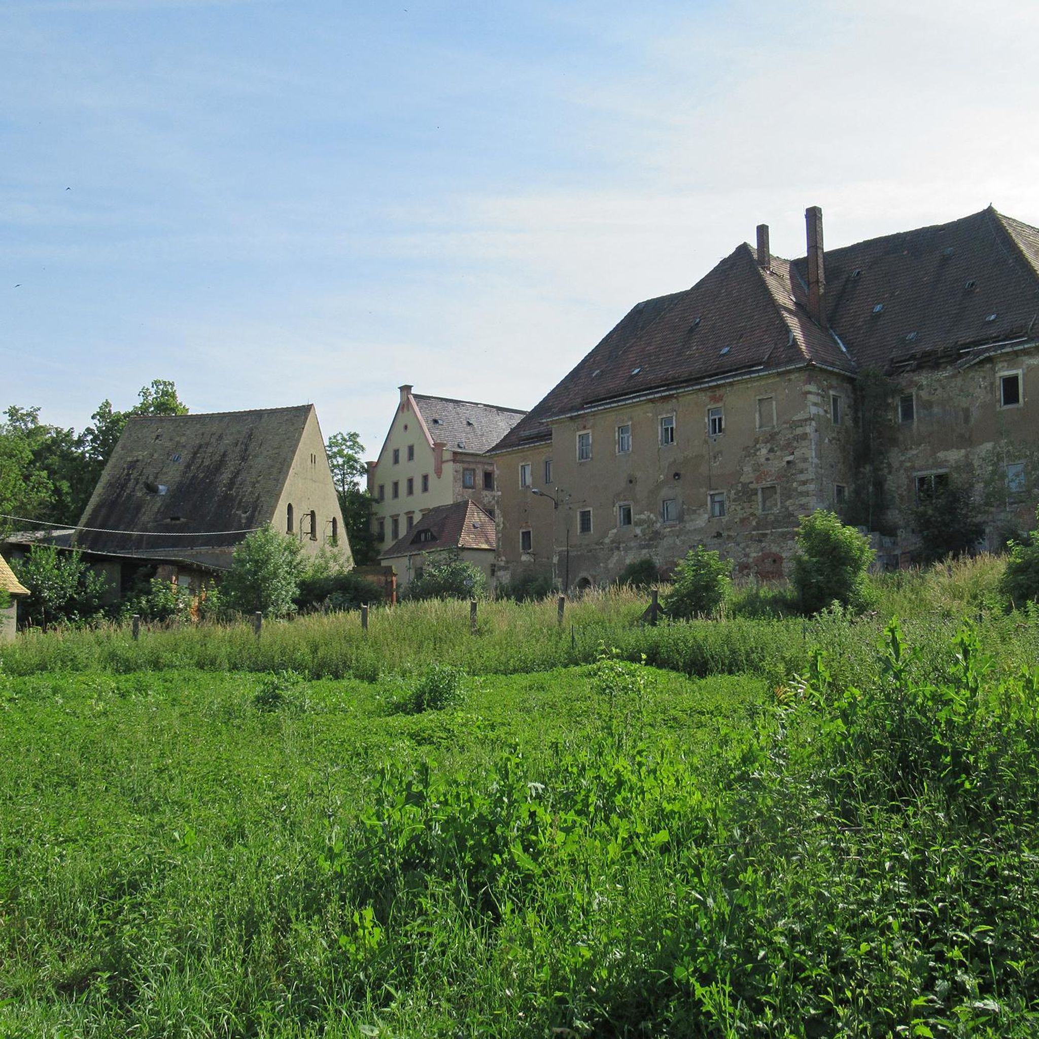
Traffic-free bike rides around Taboadela
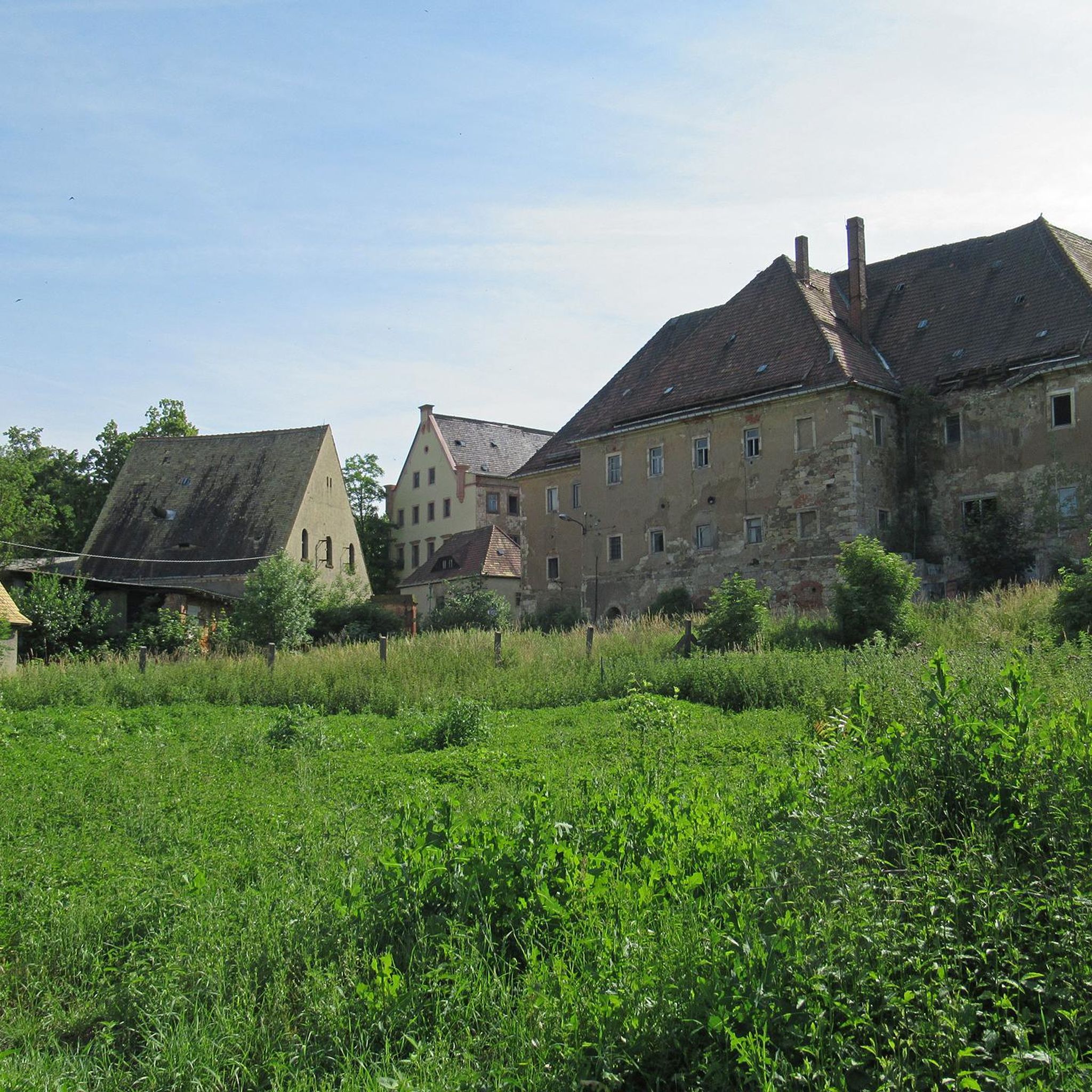
Traffic-free bike rides around San Cibrao Das Viñas
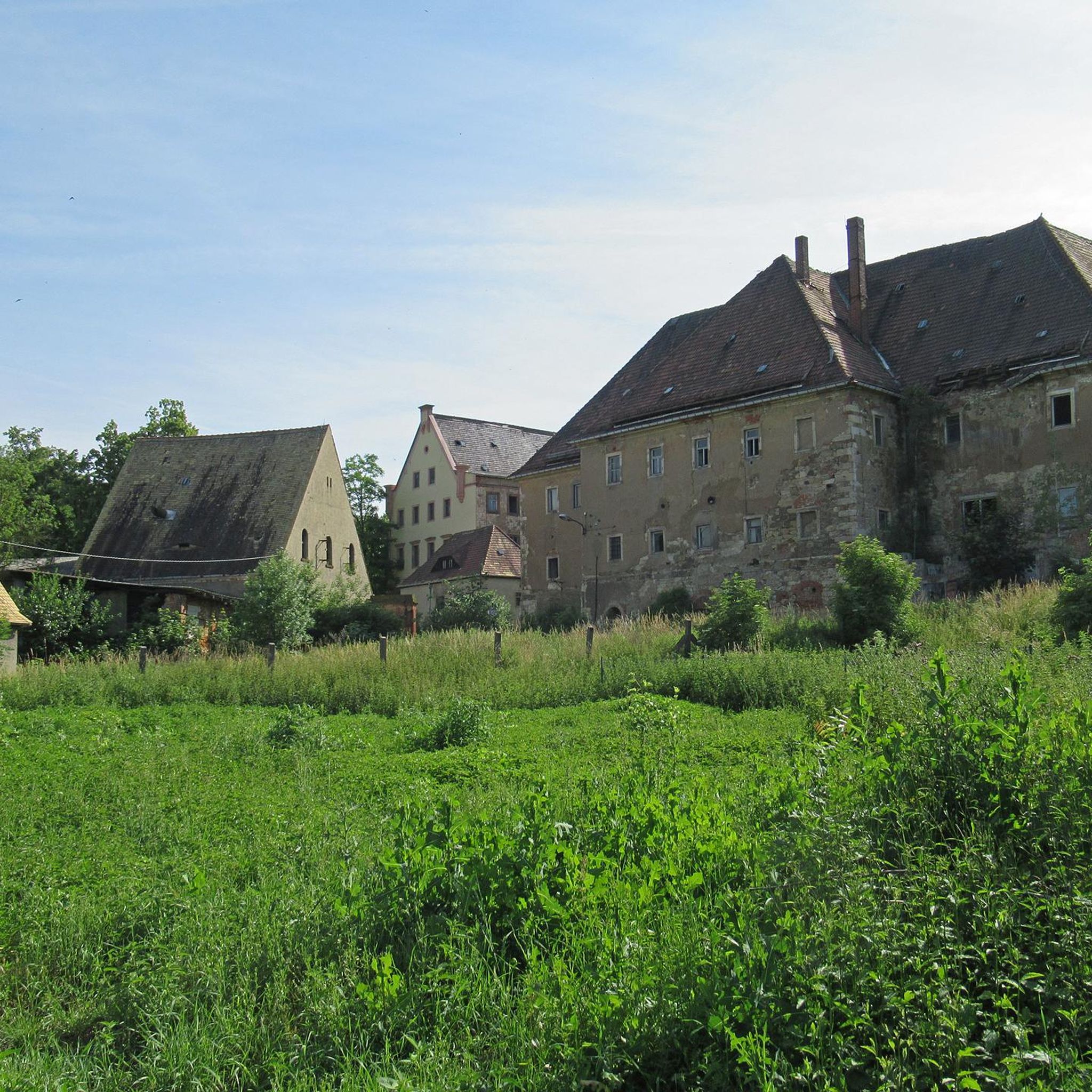
Traffic-free bike rides around Toén
Traffic-free bike rides around Ourense
Traffic-free bike rides in Enil Voutureira
Traffic-free bike rides around Paderne De Allariz
Traffic-free bike rides around O Pereiro De Aguiar
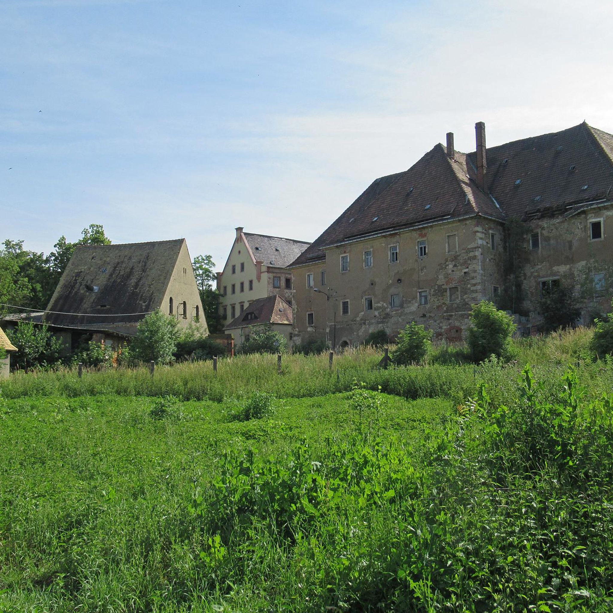
Traffic-free bike rides around Nogueira De Ramuín
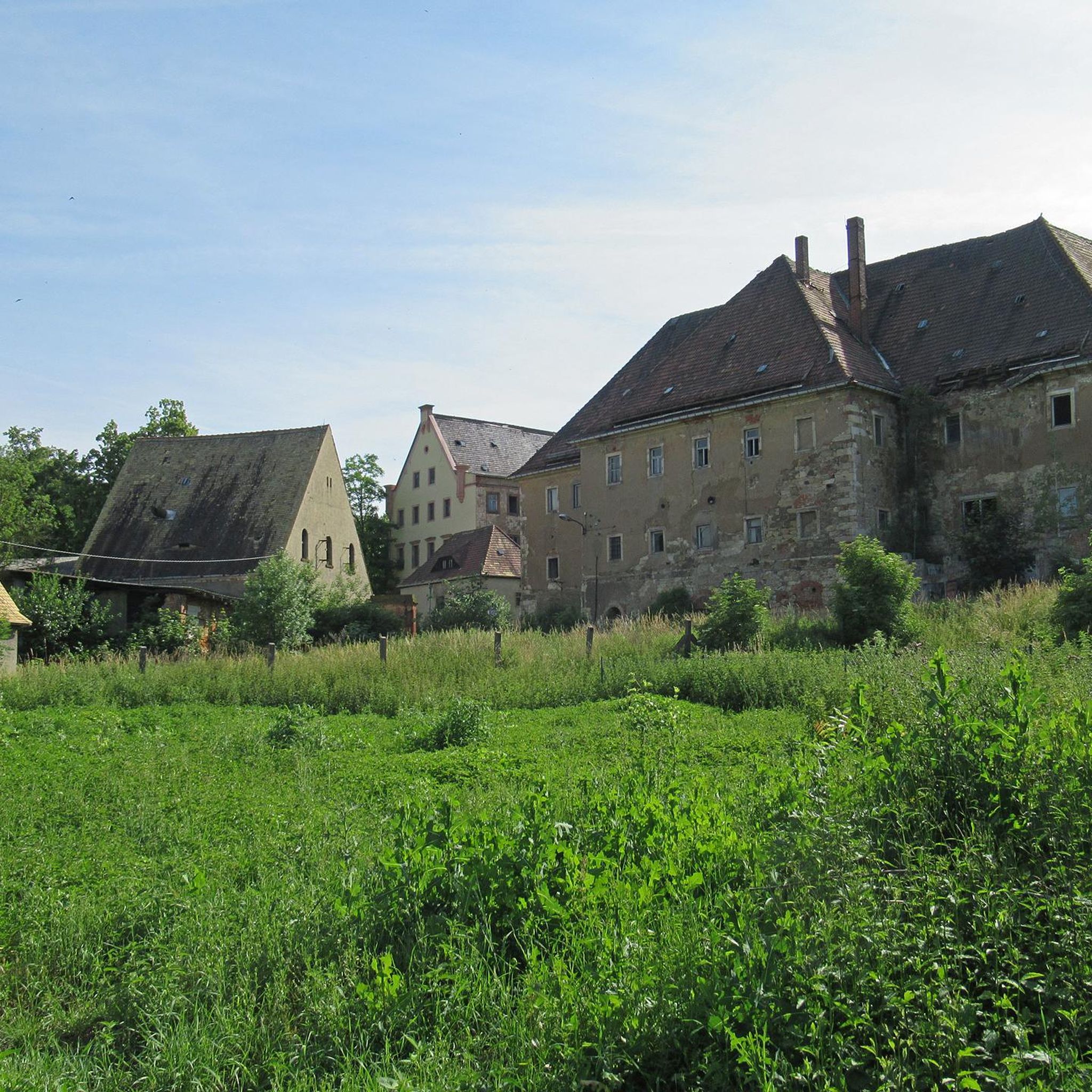
Traffic-free bike rides around Coles
Other adventures around Orense

Tips from the Community

They are located in the historic center of Ourense, on Rúa das Burgas / Praza das Burgas, next to the Barbaña River. They are perfectly integrated into the urban environment, near the Cathedral and the Roman Bridge. Explored since Roman times, these waters were the origin of the city (Aquis Auriensis), and the remains include a 1st-century AD pool-sanctuary and votive stones dedicated to an indigenous deity. The water flows at approximately 64–68°C, with a flow rate of about 300 liters per minute. Rich in minerals such as metasilicates, fluoride, lithium, bicarbonate, and sodium, they are recommended for pruritic skin conditions and rheumatism. Recent studies support their beneficial effect on acne after washing with thermal water.
2
0
Location: in the municipality of Pereiro de Aguiar (Ourense), on the Loña River, a tributary of the Miño. Uses: water supply, irrigation, hydroelectric power generation, fishing; it is not navigable or suitable for swimming. Circular walk: approximately 4 km (3.7 km to be exact), easy difficulty, ideal for families and dogs—although they must be kept on a leash—offering shade, rest areas, and beautiful views.
1
0
Location: in the municipality of Pereiro de Aguiar (Ourense), on the Loña River, a tributary of the Miño. Uses: water supply, irrigation, hydroelectric power generation, fishing; it is not navigable or suitable for swimming. Circular walk: approximately 4 km (3.7 km to be exact), easy difficulty, ideal for families and dogs—although they must be kept on a leash—offering shade, rest areas, and beautiful views.
1
0
It spans the Miño River, linking the historic center of Ourense with the A Ponte neighborhood. It was built in the 1st century AD as a branch of the Via Nova (Via XVIII), connecting Bracara Augusta (Braga) with Asturica Augusta (Astorga). Only traces of the original Roman phase remain, such as rusticated stonework at the ends near the banks. It suffered damage during the Middle Ages; in 1228, under Bishop Lorenzo and with the support of Ferdinand III, it was rebuilt with pointed arches and renovated approaches. Until the 17th century, the bridge repeatedly collapsed. The final work was directed by Melchor de Velasco Agüero around 1660, establishing its current appearance.
1
0
The Roman bridge in Ourense, known as Ponte Vella or Puente Mayor, over the Miño River, was built in the 1st century AD as part of a branch of the Via Nova (Eighteenth Century). According to tradition, it dates back to the time of Trajan, although its construction characteristics place it close to the time of Augustus. Of that first bridge, only a few cushioned ashlars from the bases remain, as silent witnesses of the past.
1
0


Beautiful local recreation area 🤙
2
0
Romanesque cathedral 🤙
0
1
Frequently Asked Questions
How many no-traffic gravel bike trails are available in Orense?
There are 7 dedicated no-traffic gravel bike trails in Orense featured in this guide, offering a range of challenging routes through the region's diverse landscapes. Most of these routes are considered difficult, with one moderate option.
What kind of terrain can I expect on no-traffic gravel bike trails in Orense?
Orense's no-traffic gravel trails often combine quiet paved sections with dirt tracks, old rail trails, and natural paths. The region is characterized by numerous rivers, mountains, and valleys, so expect varied terrain with significant elevation gains, making for a challenging and rewarding ride.
Are there any routes that feature waterfalls?
Yes, several routes incorporate stunning waterfalls. For example, the A Boutureira Waterfall loop from A Merca is a moderate 18.9 km trail that takes you past the picturesque A Boutureira Waterfall. Another option is the more challenging As Burgas Hot Springs – A Boutureira Waterfall loop from Ourense-San Francisco.
Can I find routes that pass by historic landmarks or thermal springs?
Absolutely. Orense is rich in history and natural thermal springs. The Roman Bridge Ourense – Cachamuíña Reservoir loop from Ourense incorporates the iconic Ponte Vella (Roman Bridge of Ourense). For thermal springs, the As Burgas Hot Springs – A Boutureira Waterfall loop from Ourense-San Francisco starts near the city's famous thermal baths.
Are there any circular no-traffic gravel routes available?
Yes, all the no-traffic gravel bike trails listed in this guide are circular routes, allowing you to start and end at the same point. Examples include the Allariz Roman Bridge loop from Mármoles and the Cachamuíña Reservoir – Cachamuíña Reservoir loop from Ceboliño.
What is the best time of year to go gravel biking in Orense?
The spring and autumn months generally offer the most pleasant conditions for gravel biking in Orense, with milder temperatures and beautiful natural scenery. Summers can be hot, while winters may bring cooler, wetter weather, especially in higher elevations.
What is the longest no-traffic gravel bike trail in this guide?
The longest no-traffic gravel bike trail featured is the challenging Roman Bridge Ourense – Cachamuíña Reservoir loop from Ourense, spanning approximately 119.5 kilometers with significant elevation changes.
What do other gravel bikers say about the trails in Orense?
The no-traffic gravel bike trails in Orense are highly regarded by the komoot community, with an average rating of 5.0 stars. Riders often praise the quiet, scenic routes that allow for an immersive experience in the region's natural beauty and historical sites.
Are there any routes suitable for beginners looking for a no-traffic experience?
While most routes in this guide are rated difficult, the A Boutureira Waterfall loop from A Merca is classified as moderate. It offers a shorter distance (18.9 km) and less intense elevation gain, making it a good option for those seeking a less strenuous no-traffic gravel ride.
What natural features can I explore along these routes?
Beyond the specific routes, the Orense province is known for its dramatic landscapes like the Ribeira Sacra and Sil Canyon, with deep gorges and vineyards. You'll also find the protected Serra do Xurés natural park, the Miño River banks, and natural pools like Pozas de Melón, offering diverse natural beauty to explore.
Can I combine a gravel ride with a visit to the city of Ourense?
Yes, many routes start or pass through the city of Ourense, allowing you to easily combine your ride with exploring urban attractions. The Roman Bridge Ourense – Cachamuíña Reservoir loop from Ourense is a prime example, starting directly from the city and passing by the historic Ponte Vella.
Most popular routes around Orense
Most popular attractions around Orense

Get inspired with the komoot mobile app


Didn’t find what you were looking for?
Check out more Gravel rides throughout Orense below and find the perfect route in your destination.
Explore more
Browse the best Gravel rides in other regions.
