The best family-friendly hikes and walks around Alcarria Alta
4.6
(151)
1,113
hikers
21
hikes
Family Friendly hikes Alcarria Alta traverse a diverse landscape shaped by the rising Sistema Ibérico, where rivers like the Tajo and Tajuña have carved deep valleys and gorges. The region features a striking contrast between elevated plains with holm oak woodlands and dryland cereal fields, and aromatic scrublands and olive groves along the valley slopes. Geologically, the area is characterized by limestones and gypsum, alongside distinctive formations such as the "Tetas de Viana." This varied terrain offers numerous family friendly hiking trails suitable for different abilities.
Best family friendly hiking trails around Alcarria Alta
- The most popular family friendly hiking route is Jardín de La Alcarria — circular through the lavender fields of Brihuega, a 7.5 miles (12.0 km) trail that takes 3 hours 15 minutes to complete. This moderate route offers scenic views through fragrant lavender fields.
- Another top favourite among local hikers is PR-GU 08: Mandayona - Mirabueno - Aragosa Trail, a moderate 6.4 miles (10.3 km) path. This trail connects charming villages and offers varied terrain through the Alcarria landscape.
- Local hikers also love the La Vega y La Alcarria Romanqueña (PR-GU 10) — circular desde Romancos, a 6.6 miles (10.6 km) trail leading through river valleys and traditional Alcarria scenery, often completed in about 3 hours 5 minutes.
- Hiking around Alcarria Alta is defined by its river valleys, aromatic scrublands, and limestone formations. The network offers options for various ability levels, including more than 20 easy family friendly routes.
- The routes in Alcarria Alta are highly rated by the komoot community with an average score of 4.6 stars from over 120 reviews. More than 1,000 hikers have used komoot to explore Alcarria Alta's varied terrain.
Last updated: July 7, 2026
5.0
(1)
6
hikers
12.0km
03:15
160m
160m
Moderate hike. Good fitness required. Easily-accessible paths. Suitable for all skill levels.
4.0
(2)
9
hikers
10.3km
02:55
220m
230m
Moderate hike. Good fitness required. Easily-accessible paths. Suitable for all skill levels.

Sign up for free
5.0
(2)
7
hikers
10.6km
03:04
250m
260m
Moderate hike. Good fitness required. Easily-accessible paths. Suitable for all skill levels.
5.0
(3)
30
hikers
9.57km
02:43
220m
220m
Moderate hike. Good fitness required. Easily-accessible paths. Suitable for all skill levels.
5.0
(4)
29
hikers
15.3km
04:03
160m
160m
Moderate hike. Good fitness required. Easily-accessible paths. Suitable for all skill levels.
Get access to more routes and recommendations from other explorers.
Sign up for free
Already have an account?
Our route recommendations are based on thousands of hikes, rides, and runs completed by other people on komoot.
Start today with a free account
Your next adventure awaits.
Login or Signup
Popular around Alcarria Alta
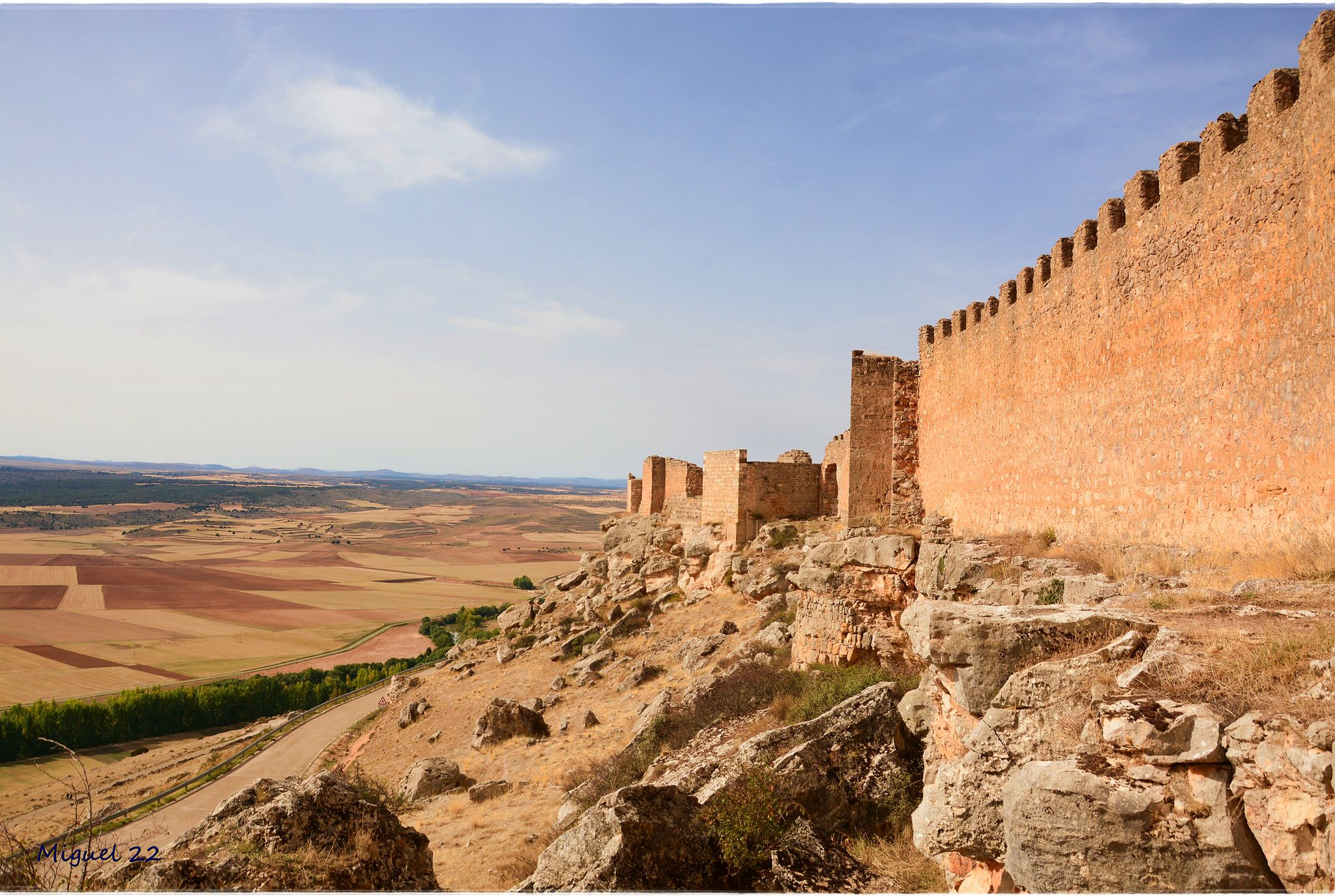
A journey through mediaeval Spain – El Camino del Cid (GR 160)

Albarracín to Toledo – Eastern Tagus Nature Trail
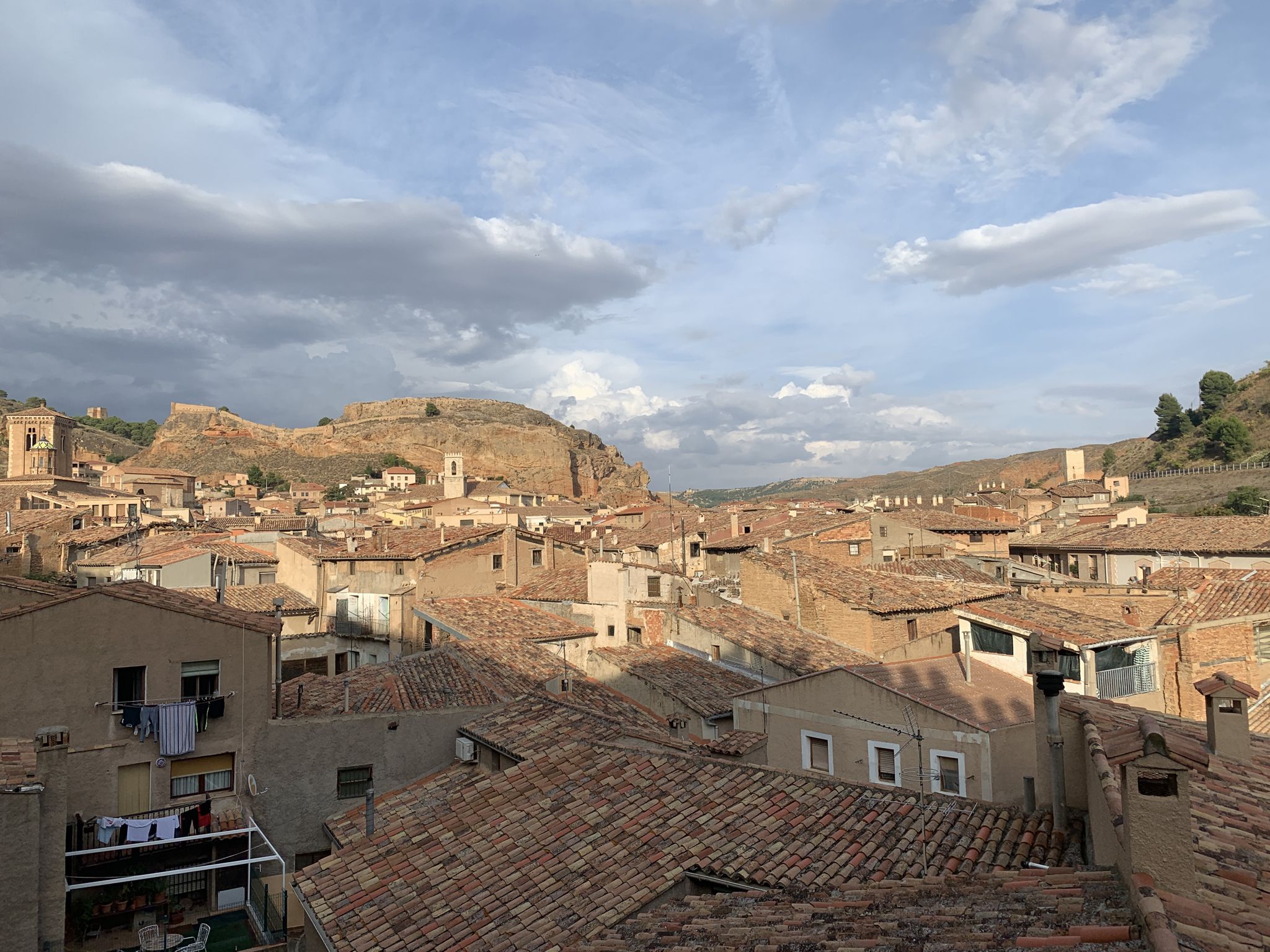
18th-century gravel – Camino Real de Aragón from Madrid
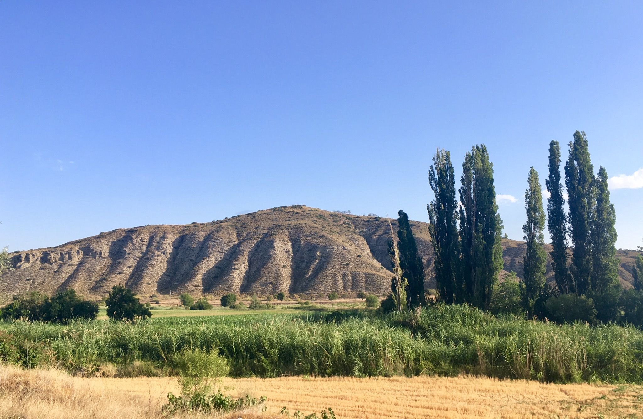
Canyons and countryside – Spain’s Tajuña River gravel
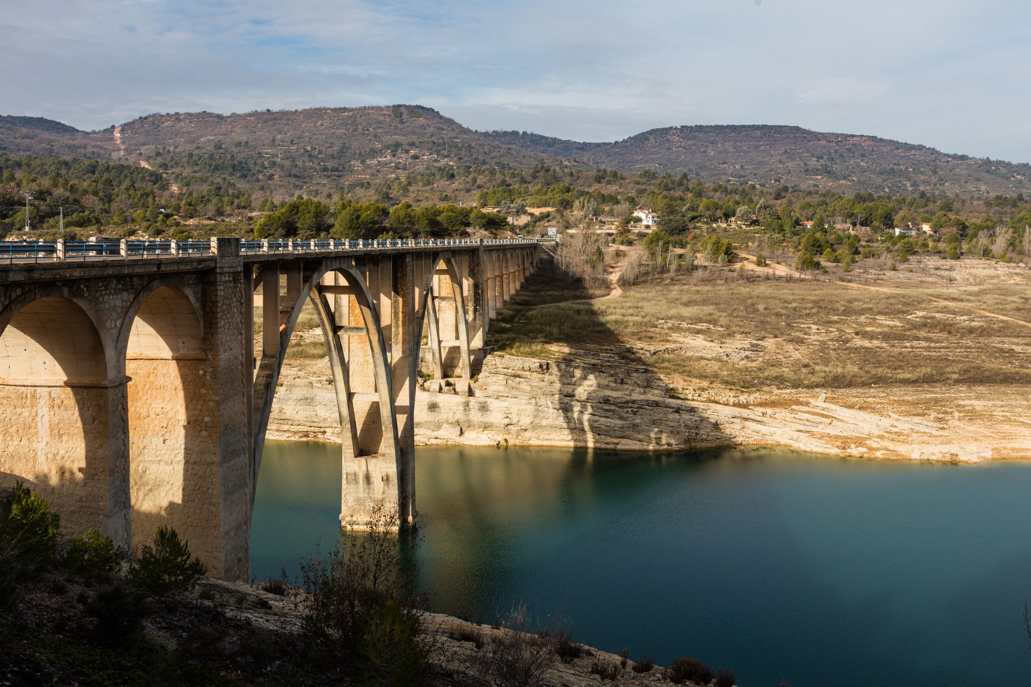
A journey on the Iberian Peninsula – Tagus Nature Trail
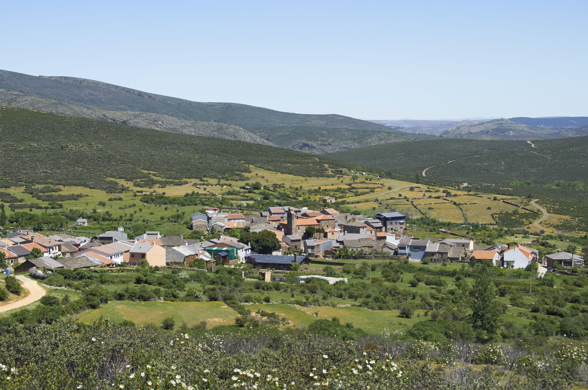
Tierras de Frontera on a gravel bike – El Camino del Cid
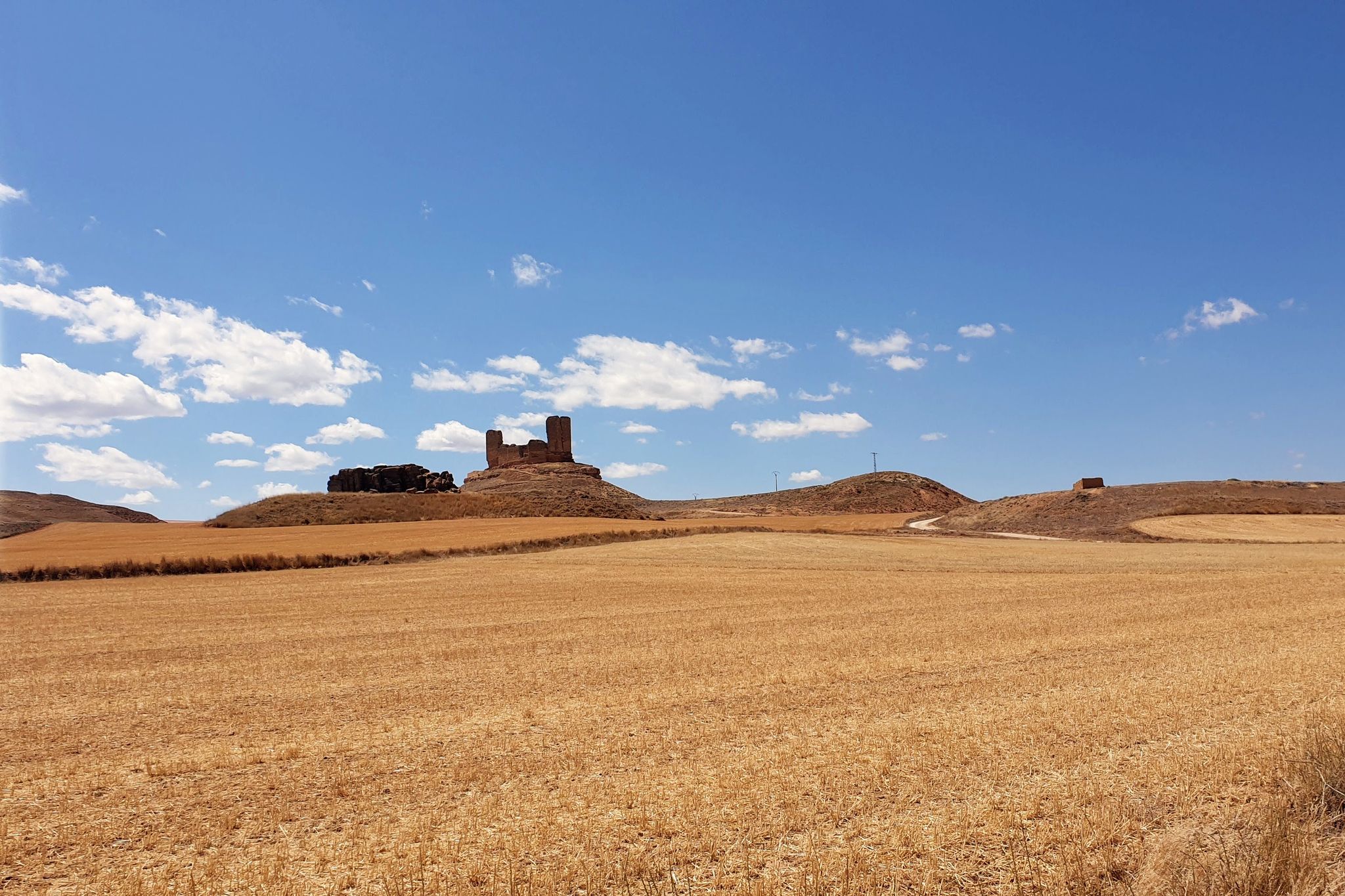
El Camino del Cid – The Borderlands on MTB
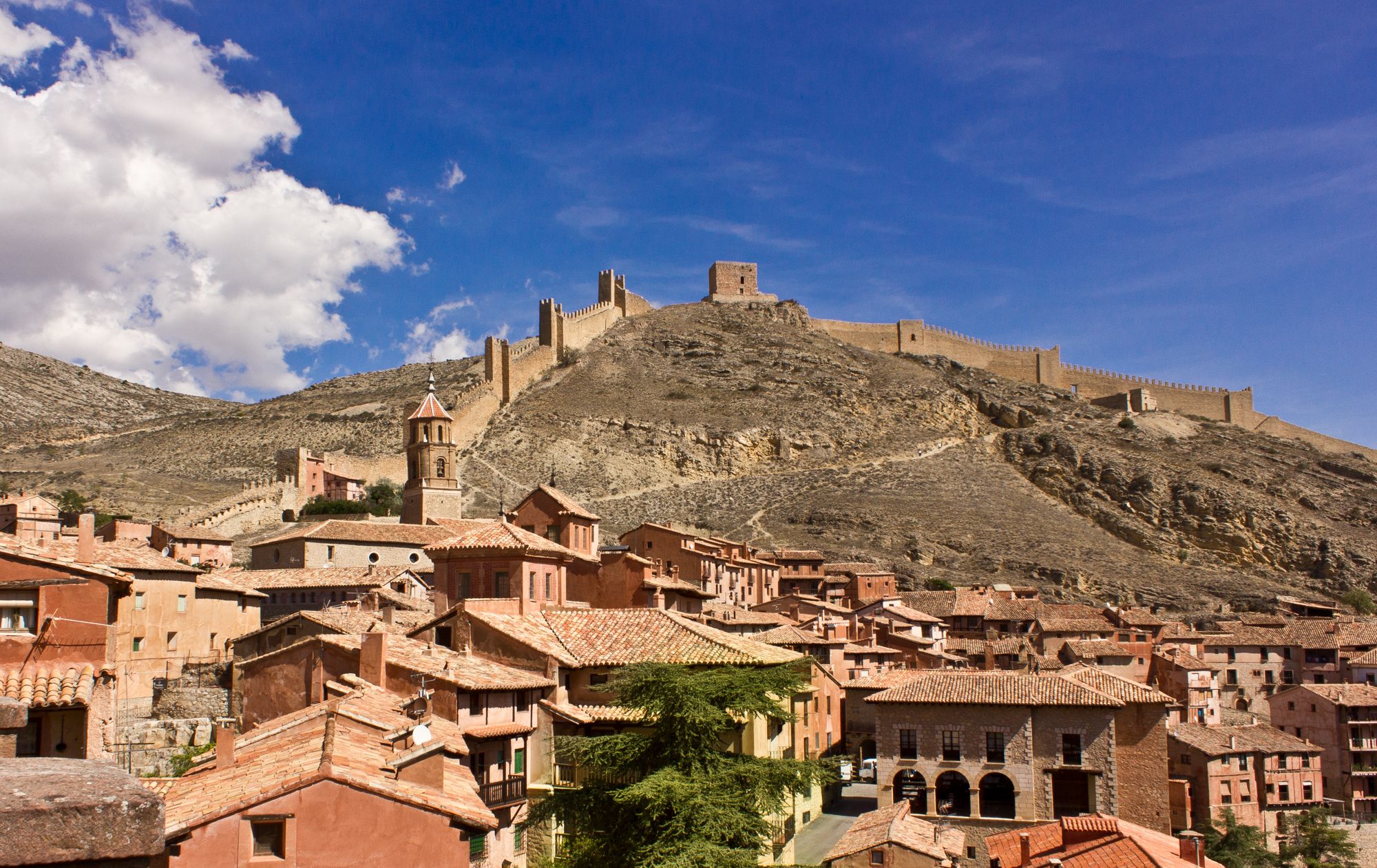
Bike tour into the Spanish Middle Ages - the Camino del Cid
Other adventures around Alcarria Alta


Tips from the Community

Next to the cemetery
0
0
Precious village at any time of the year. With many fountains and water.
0
0
It is a narrowing of the lateral cliffs of the Tagus River. It is also known as the Gate of the Alto Tajo. From this place upwards begins the Alto Tajo Natural Park.
0
0
On the right bank of the Tagus River, in the area of Hundido de Armallones, very close to the strait of La Tormellera, there is a curious waterfall of Piedra de Tuffa, which has been formed by the flow of water and time. It has great beauty.
0
0
On the banks of the Tagus River, at a crossroads, it is an ideal place to take a break on the route. If you approach the riverbank, you will be surprised by its majesty and bravery.
0
0
Beauty concentrated in the color purple.
0
0

A nice path through the forests that allows you to enjoy the shade even on a hot day. To return to Romancos town, follow the white and yellow painted markings.
2
1
On the outskirts of the town, near the cemetery, we find this small hermitage from the 17th century. A few meters from the hermitage are the ruins of an impressive mill.
0
1
Frequently Asked Questions
How many family-friendly hiking trails are available in Alcarria Alta?
Alcarria Alta offers a wide selection of family-friendly hiking trails, with over 20 routes specifically categorized as easy, perfect for outings with children. In total, there are 67 hiking routes available in the region, catering to various skill levels.
Are there any circular routes suitable for families in Alcarria Alta?
Yes, Alcarria Alta features several enjoyable circular routes perfect for families. For instance, the Jardín de La Alcarria — circular through the lavender fields of Brihuega offers a delightful loop, especially vibrant during the lavender blooming season. Another great option is La Vega y La Alcarria Romanqueña (PR-GU 10) — circular desde Romancos, which explores the local Romanesque heritage.
What are the best times of year for family hikes in Alcarria Alta?
The spring and early summer are particularly beautiful, especially in July when the famous lavender fields of Brihuega are in full bloom. Autumn also offers pleasant temperatures and stunning fall foliage. During summer, look for trails with natural shade, often found along river valleys or through woodlands, to stay comfortable.
Can we find trails with waterfalls in Alcarria Alta?
Absolutely! The region is known for its beautiful river landscapes. The Cifuentes River, for example, features lovely waterfalls near Trillo. You can also explore the Pelegrina Castle – Gollorio Waterfall loop from Río Dulce, which combines historical interest with natural beauty.
Are there any historical sites or castles we can visit on family hikes?
Yes, Alcarria Alta is rich in history. Many trails pass by or lead to impressive historical structures. You can explore the area around Jadraque Castle or visit Castillo de Torija, which houses a museum. The PR-GU 08: Mandayona - Mirabueno - Aragosa Trail offers a chance to see the charming Mandayona Village with its ancient caves and castle ruins.
What kind of natural attractions can we expect to see on family trails?
Beyond the lavender fields, you'll encounter diverse landscapes shaped by rivers like the Tajo and Tajuña. Look out for deep gorges, such as those found on the La Tormellera Gorge loop from Ocentejo, and the expansive meanders of the Tajo River. The region's flora is also notable, with abundant rosemary, lavender, and thyme filling the air with their scent.
Are the family-friendly trails in Alcarria Alta suitable for dogs?
Many trails in Alcarria Alta are dog-friendly, allowing you to bring your furry companions along. It's always a good idea to keep dogs on a leash, especially in areas with wildlife or near livestock, and to carry water for them, particularly on warmer days.
What do other hikers enjoy most about hiking in Alcarria Alta?
The komoot community highly rates hiking in Alcarria Alta, with an average score of 4.57 stars. Reviewers often praise the region's diverse and captivating landscapes, from the aromatic lavender fields to the dramatic river gorges, and the opportunity to combine natural beauty with historical exploration.
Are there any less crowded family hiking options in Alcarria Alta?
While popular spots like the Brihuega lavender fields can attract visitors during peak season, many of the region's trails offer a more tranquil experience. Exploring routes through smaller villages or along less-trafficked river sections can provide a peaceful family outing. Consider trails that venture into the Alto Tajo Natural Park for a sense of wilderness.
Where can we find parking for family hikes in Alcarria Alta?
Most trailheads for family-friendly hikes in Alcarria Alta, especially those starting from villages or popular natural sites, offer designated parking areas. It's advisable to check the specific route details on komoot for information on parking availability at the starting point of your chosen trail.
Are there any viewpoints along the family trails in Alcarria Alta?
Yes, the varied topography of Alcarria Alta, with its plateaus and river valleys, provides numerous opportunities for scenic viewpoints. Trails often lead to elevated spots offering panoramic views of the surrounding countryside, including the Tajo River meanders and the distinct geological formations like the "Tetas de Viana".
Most popular routes around Alcarria Alta
Most popular attractions around Alcarria Alta

Get inspired with the komoot mobile app


Explore more
Browse the best Hikes in other regions.
