The best hikes from bus stations around Campo De Calatrava
4.5
(197)
1,409
hikers
35
hikes
Hiking around Campo De Calatrava offers access to a unique volcanic landscape in Castilla-La Mancha, Spain. The region features over 300 volcanic structures, including cinder cones, maars, and significant volcanic lagoons, alongside diverse wetlands, Mediterranean forests, and semi-arid steppes. The terrain is further shaped by sedimentary plains, moderately high ranges, and the Guadiana and Jabalon rivers. This varied environment provides a range of bus station hiking trails for exploration.
Best bus station hiking trails around Campo De Calatrava
- The most…
Last updated: July 7, 2026
5.0
(1)
23
hikers
Easy hike. Great for any fitness level. Easily-accessible paths. Suitable for all skill levels.
5.0
(1)
22
hikers
12.4km
03:10
50m
50m
Moderate hike. Good fitness required. Easily-accessible paths. Suitable for all skill levels.

Sign up for free
5.0
(1)
14
hikers
Moderate hike. Good fitness required. Easily-accessible paths. Suitable for all skill levels.
9
hikers
Easy hike. Great for any fitness level. Easily-accessible paths. Suitable for all skill levels.
5.0
(3)
10
hikers
12.3km
03:15
120m
120m
Moderate hike. Good fitness required. Easily-accessible paths. Suitable for all skill levels.
Get access to more routes and recommendations from other explorers.
Sign up for free
Already have an account?
Our route recommendations are based on thousands of hikes, rides, and runs completed by other people on komoot.
Start today with a free account
Your next adventure awaits.
Login or Signup

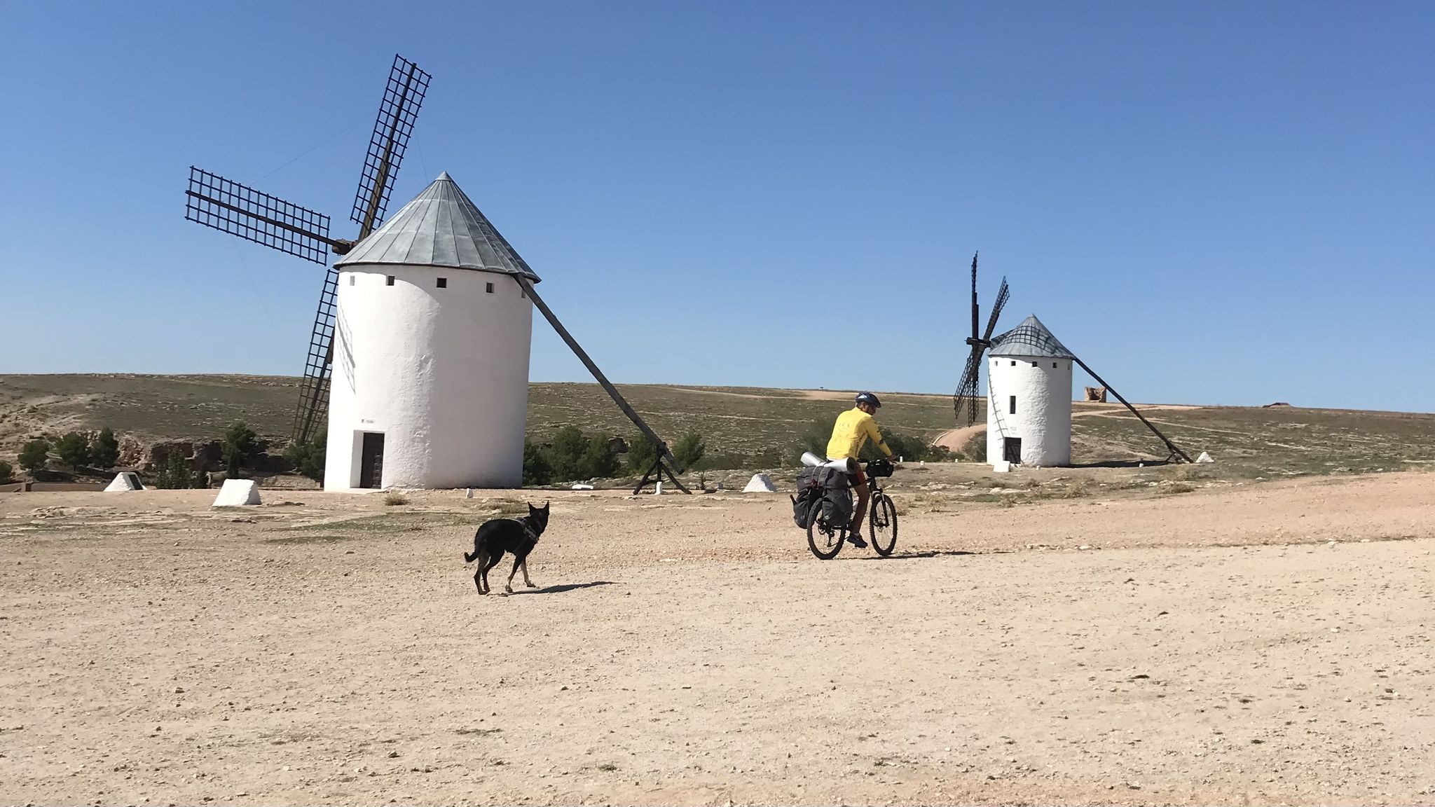
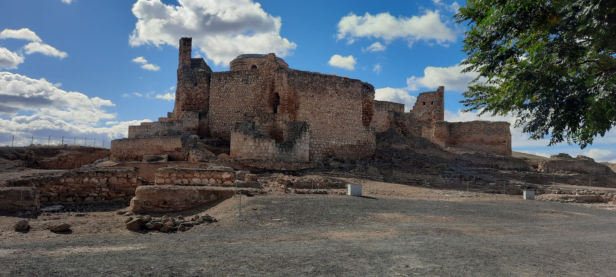


Tips from the Community

Construction began in 1917, and it has undergone several renovations and expansions in 1933, 1960, 1985, and 2000. It is located practically in the city center, although in the southern part of the city. At the southern end of the park is the "Cross of the Married Couple," a 15th-century wayside cross that has been rebuilt several times. It commemorates the romantic and tragic story of Sancho and Blanca, a couple from Ciudad Real and Miguelturra, who died for marrying. Their parents were enemies and chose to kill them when they eloped to marry in secret.
23
0
A 3-kilometer stretch that takes you from Bolaños de Calatrava to the Virgin of the Mountains, a nice walk.
2
0
A 3-kilometer stretch that leads from Bolaños de Calatrava to the Virgin of the Mountains, a good road.
1
0
The Battle of Alarcos Route is a fascinating experience that combines history and technology. This route allows visitors to explore the historic site of the battle that took place on July 19, 1195, where the Almohad troops of Al-Mansur defeated the Christian troops commanded by the Castilian king Alfonso VIII.
9
0

Beautiful and unusual stone formations tracing the path. Detailed and painted.
1
0
An all-in-one station for repair, inflation, washing, and hydration: Tools: 9 tools for over 20 adjustments. Air pump: With glycerin pressure gauge, weatherproof. Wash: Hose with gun and handlebar clamp. Drinking water: Antibacterial drinking valve.
14
0
We've just installed: An UrbanFix bicycle repair station, a public, self-contained solution designed to facilitate bicycle maintenance in urban spaces.
14
0
Our steps make the path. From the collective anonymity, we are invited to participate in this work, respecting and enriching it as the footprints of those who pass by. Place your own stone. Personalize it to your liking, and your contribution will make you a part of it.
18
0
Frequently Asked Questions
How many bus-accessible hiking trails are available in Campo de Calatrava?
There are over 35 bus-accessible hiking trails in Campo de Calatrava. These routes are designed to start conveniently from bus stations, allowing you to explore the region's unique landscapes without needing a car.
What is the general difficulty level of bus-accessible hikes in the region?
The bus-accessible trails in Campo de Calatrava offer a good mix of difficulty levels. You'll find approximately 15 easy routes, perfect for a relaxed stroll or family outing, and around 20 moderate trails for those looking for a bit more challenge. There are no difficult routes in this selection.
What kind of landscapes can I expect to see on these bus-accessible trails?
Campo de Calatrava is renowned for its unique volcanic landscapes, featuring over 300 volcanic structures including cinder cones and maars. You can also expect to encounter diverse wetlands, Mediterranean forests, and semi-arid steppes. The region is shaped by the Guadiana River and its tributary, the River Jabalon, offering scenic riparian environments.
Are there any specific natural attractions or viewpoints along the bus-accessible routes?
Yes, the region offers several natural attractions. You might encounter volcanic lagoons like the Peñarroya Volcano and Lagoon or the Michos Volcanic Crater Lake. Some routes pass near significant water bodies such as Laguna del Prado or El Vicario Reservoir. The volcanic origins also mean you could explore features like the Cabeza del Rey Volcano-Cave.
Can I spot any wildlife while hiking from bus stations in Campo de Calatrava?
Yes, Campo de Calatrava is a vital area for various bird species due to its saline lagoons and wetlands. Birdwatching is popular, especially near lagoons like Caracuel. The region is also home to significant wildlife, including the Iberian lynx, Spanish imperial eagle, black stork, and black vulture, though sightings of these rarer species require luck and patience.
Are there any easy, circular bus-accessible hikes suitable for beginners or families?
Absolutely. For an easy and family-friendly option, consider the Alarcos Virtual Route – Parque del Pilar (Poblete) loop from Poblete. This 5.4 km circular trail is ideal for beginners and offers a pleasant experience without significant elevation changes.
What historical sites can I explore on bus-accessible trails?
Many trails in Campo de Calatrava combine natural beauty with historical significance. You can explore medieval fortresses linked to the Order of Calatrava, such as the Calatrava La Nueva castle, or ancient archaeological sites like the Alarcos archaeological site. The Silo – Bullring loop from Almagro offers a glimpse into the historic town of Almagro.
Are there any longer, moderate bus-accessible routes for experienced hikers?
Yes, for those seeking a longer, moderate challenge, the Detour – Start of the Greenway loop from Ciudad Real is a great option. This route covers over 12 km and provides a good workout while exploring the local landscape. Another moderate choice is the Ermita del Calvario – Virgen del Monte loop from Bolaños de Calatrava.
What is the best time of year to hike these bus-accessible trails?
The best time to hike in Campo de Calatrava is typically during spring (March to May) and autumn (September to November). During these seasons, the weather is milder, making for more comfortable hiking conditions. Summers can be very hot, and winters, while generally mild, can bring occasional cold snaps.
What do other hikers enjoy the most about hiking in Campo de Calatrava?
The area is highly rated by the komoot community, with an average score of 4.5 stars from over 185 ratings. Reviewers often praise the unique volcanic scenery, the tranquility of the trails, and the opportunity to combine nature exploration with visits to historical sites.
Are there any bus-accessible trails that offer a mix of natural beauty and urban exploration?
For a route that blends natural paths with proximity to a town, consider the Paseo de San Gregorio – Fuente Agria loop from Puertollano. This moderate trail, over 12 km long, allows you to enjoy the outdoors while being accessible from the town of Puertollano.
Most popular routes around Campo De Calatrava
Most popular attractions around Campo De Calatrava

Get inspired with the komoot mobile app


Didn’t find what you were looking for?
Check out more Hikes throughout Campo De Calatrava below and find the perfect route in your destination.
Explore more
Browse the best Hikes in other regions.
