The best hikes from bus stations around South Karelia
4.4
(53)
1,069
hikers
96
hikes
Bus station hiking trails around South Karelia traverse a landscape characterized by Lake Saimaa, Finland's largest lake, and the ancient Salpausselkä ridges. The region features dense pine and birch forests, diverse wetlands, and varied terrain shaped by the Ice Age. Hikers can expect routes that range from gentle lakeside paths to trails with moderate elevation changes across ridges.
Best bus station hiking trails around South Karelia
- The most popular bus station hiking route is Haikkaanlahti Hiking Trail, an 11.2…
Last updated: July 5, 2026
4.0
(2)
8
hikers
18.1km
04:43
120m
120m
Moderate hike. Good fitness required. Easily-accessible paths. Suitable for all skill levels.
1
hikers
13.2km
03:27
90m
90m
Moderate hike. Good fitness required. Easily-accessible paths. Suitable for all skill levels.

Sign up for free
5.71km
01:29
30m
30m
Easy hike. Great for any fitness level. Easily-accessible paths. Suitable for all skill levels.
5.0
(1)
44
hikers
Easy hike. Great for any fitness level. Easily-accessible paths. Suitable for all skill levels.
5.0
(1)
36
hikers
11.1km
02:52
60m
60m
Moderate hike. Good fitness required. Easily-accessible paths. Suitable for all skill levels.
Get access to more routes and recommendations from other explorers.
Sign up for free
Already have an account?
Our route recommendations are based on thousands of hikes, rides, and runs completed by other people on komoot.
Start today with a free account
Your next adventure awaits.
Login or Signup
Other adventures around South Karelia


Tips from the Community

Beach House by Robert’s Coffee is located on the Lake Saimaa shore. During the season you can also rent out boats, SUP-boards and fat bikes.
0
0
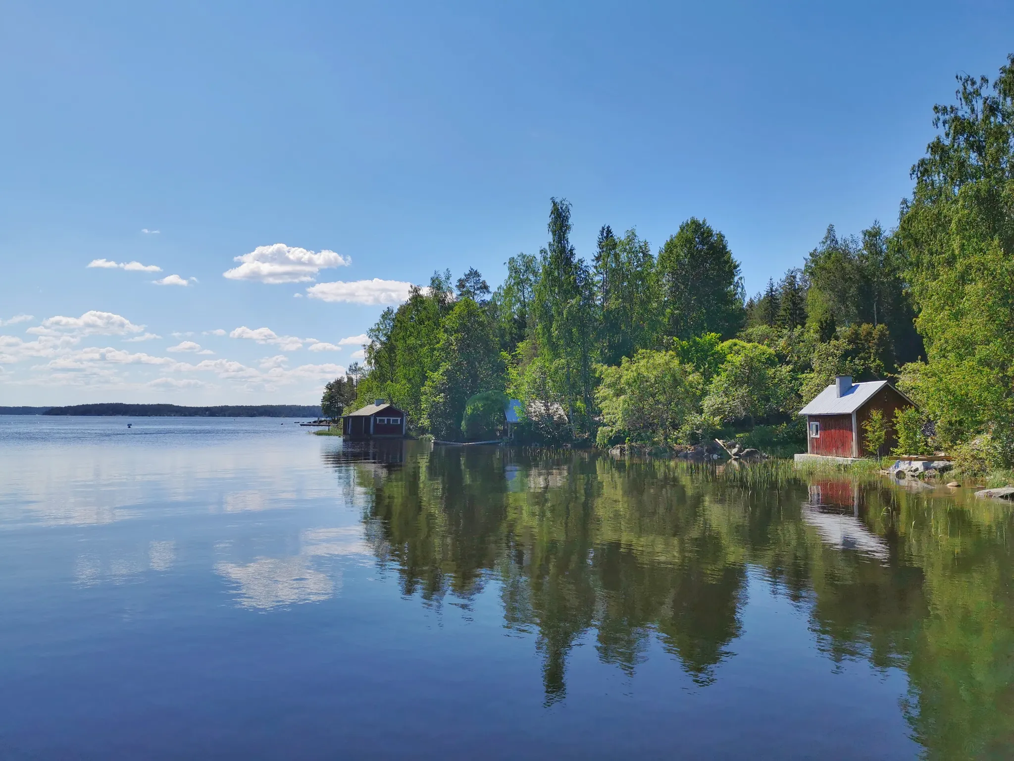
From here you can look out on the scenic and expansive Lake Saimaa, the largest lake in Finland. The area is known for its breathtaking natural beauty, with, particularly in the summer, views of lush forests, blue water, and rocky shorelines.
0
0
This wooden dock is a perfect spot for a picknick or rest stop during your outdoor adventure. The views of the water are beautiful!
0
0

Niskapietilä Road (Niskapietiläntie) is a historic “museum road” in South Karelia, part of the old Savonlinna–Viipuri route between Imatra, Ruokolahti and Rautjärvi. It dates back at least to the 1600s, has served as a military and postal road, and today is a quiet scenic local road with rural landscapes, old stone kilometre markers and cultural-history value for cyclists and road-trippers
0
0
Kuokkanen Lake on the Karhupolku trail is a small forest lake with calm, clear water surrounded by coniferous woods and boggy shorelines.
0
0
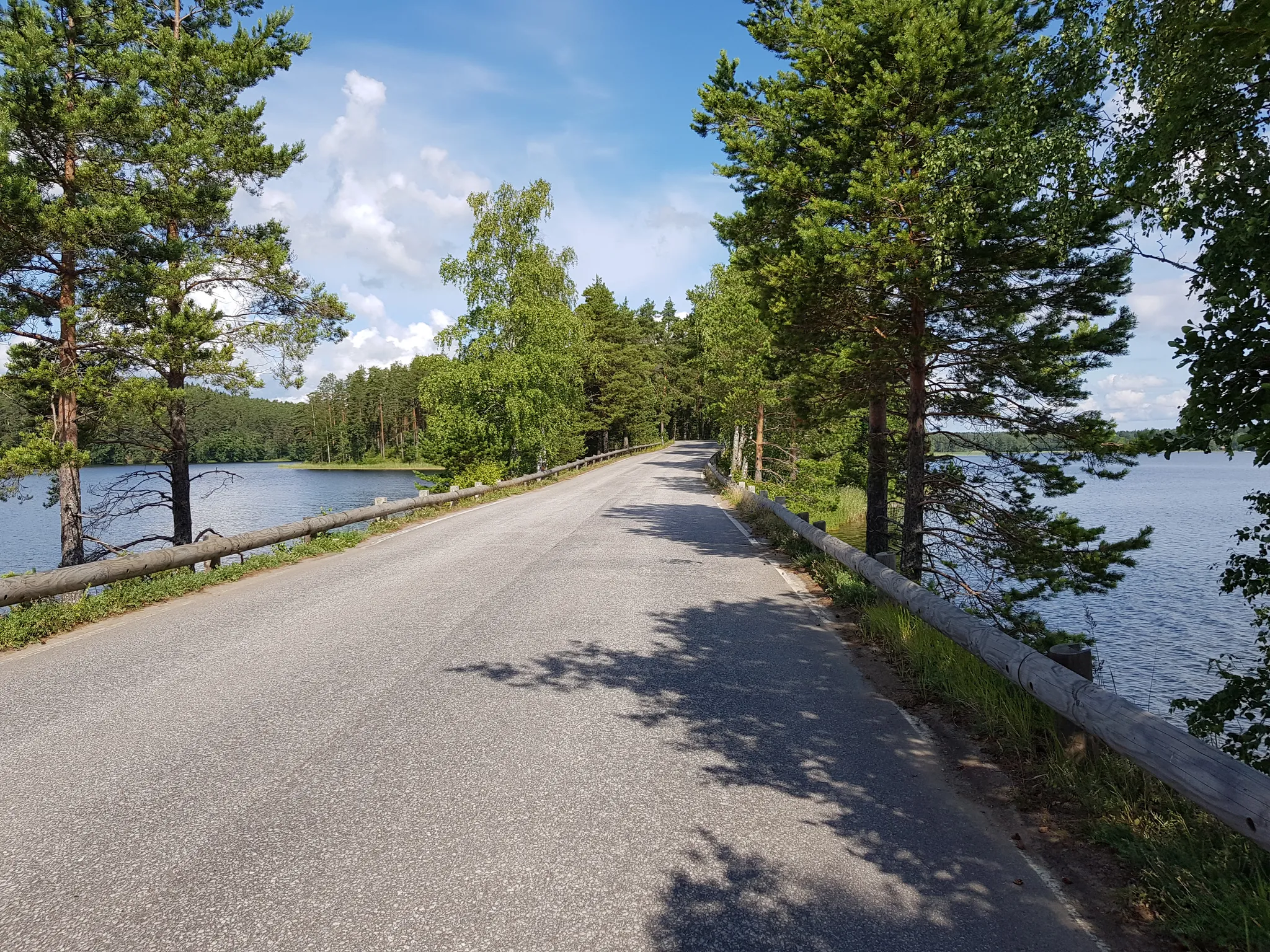
Beautiful smooth paved road in the nature.
0
0

Ylämaa Church, located in the former municipality of Ylämaa (now part of Lappeenranta), was completed in 1931 based on designs by Ilmari Launis. It features detailed interior paintings and engraved glass windows by Antti Salmenlinna, and an altar painting by Väinö Saikko. The church also houses 1940s organs built by Kangasala’s renowned organ factory and a baptismal font made from local Ylämaa spectrolite. Outside, visitors can see a war memorial by sculptor Mikko Hovi. The church sits in a quiet village surrounded by forest roads ideal for trekking or cross bikes, though the terrain can be slightly hilly.
2
0

Frequently Asked Questions
How many bus-accessible hiking trails are available in South Karelia?
There are nearly 100 hiking trails in South Karelia that are accessible from bus stations, offering a wide range of experiences for all skill levels. This includes over 70 easy routes, 28 moderate trails, and a few more challenging options.
What kind of terrain can I expect on bus-accessible hikes in South Karelia?
The terrain in South Karelia is diverse, shaped by the Ice Age. You can expect trails that traverse dense pine and birch forests, ascend the high ridges of Salpausselkä offering expansive views over Lake Saimaa, and wind through unique wetland areas. Some routes, like the Haikkaanlahti Hiking Trail, offer a mix of lakeside paths and forest sections.
Are there family-friendly hiking trails accessible by bus in South Karelia?
Yes, South Karelia offers several family-friendly options. Many trails feature easy terrain and shorter distances, perfect for children. The Siikalahti bird trail, for example, is known for its duckboards, making it an enjoyable and accessible walk for families. Look for routes categorized as 'easy' in the guide for suitable options.
Can I bring my dog on these bus-accessible hiking trails?
Generally, dogs are welcome on hiking trails in South Karelia, provided they are kept on a leash. Finland has a strong culture of enjoying nature with pets. Always check specific trail regulations, especially in nature reserves, but most public trails are dog-friendly. Remember to clean up after your pet.
Are there circular hiking routes that I can start and finish at a bus station?
Yes, there are several circular routes designed for convenience. For instance, the Tiuruniemi loop from Korvenkylä offers a pleasant circular hike. Another great option is the Wooden Dock With Lake View loop from Lappeenranta, which provides scenic views and brings you back to your starting point.
What natural features or landmarks can I see along these trails?
South Karelia is rich in natural beauty. Many trails offer views of Lake Saimaa, Finland's largest lake. You might encounter geological formations from the Saimaa UNESCO Global Geopark, such as those found on the Orrainpolku geological trail. Notable landmarks include the Imatra Rapids and the Imatrankoski Gorge. The highest point in South Karelia, Haukkavuori, also features a nature trail with breathtaking scenery.
What is the best time of year to hike in South Karelia?
Each season offers a unique experience. Summer (June-August) provides long daylight hours and pleasant temperatures, ideal for hiking. Autumn (September-October) is stunning with vibrant fall foliage and opportunities for berry and mushroom picking. Spring (May) sees nature awakening, while winter (November-April) offers opportunities for snowshoeing or cross-country skiing on suitable trails, though bus accessibility might be more limited then.
Are there any geological trails accessible by public transport?
Yes, the Saimaa UNESCO Global Geopark features several geological trails. The Orrainpolku geological trail and "The Traces of Ice Age" trail near Savitaipale are excellent examples, showcasing the region's unique geological history. The Lammassaari Nature Trail, also within the Geopark, offers lake views and geological insights, and is known for its bus accessibility.
What do other hikers enjoy most about hiking in South Karelia?
The area is highly rated by the komoot community, with an average score of 4.4 stars. Reviewers often praise the serene lake views, the tranquility of the dense forests, and the well-maintained paths that make exploring the region's unique natural and geological features a pleasure.
Are there any trails that feature rivers or rapids?
Yes, the Hiitolanjoki River in Rautjärvi is notable for its rapids, such as Ritakoski, Kangaskoski, and Lahnasenkoski. While specific bus-accessible trails directly alongside all these rapids might vary, the region offers opportunities to experience these powerful water features. The Imatra Rapids are also a significant attraction.
Are there any cultural or historical routes accessible by bus?
South Karelia offers routes that blend nature with history. The Salpapolku hiking route introduces hikers to sites of the Salpalinja defense line, a significant historical landmark. Additionally, the Vuoksi Culture Route in Imatra provides a mix of urban and cultural landscapes, often accessible via local bus services.
Can I find amenities like cafes or restaurants near bus-accessible trailheads?
In larger towns like Lappeenranta and Imatra, you'll find cafes, restaurants, and other services conveniently located near bus stations and trailheads. For trails in more rural areas, amenities might be scarcer, so it's advisable to pack your own refreshments. Some popular spots like Haukkavuori offer campfire sites and lean-to shelters for hikers.
Most popular routes around South Karelia
Most popular attractions around South Karelia

Get inspired with the komoot mobile app


Explore more
Browse the best Hikes in other regions.
