The best walks and hikes around Mellrichstadter Forst
4.5
(7017)
25,117
hikers
675
hikes
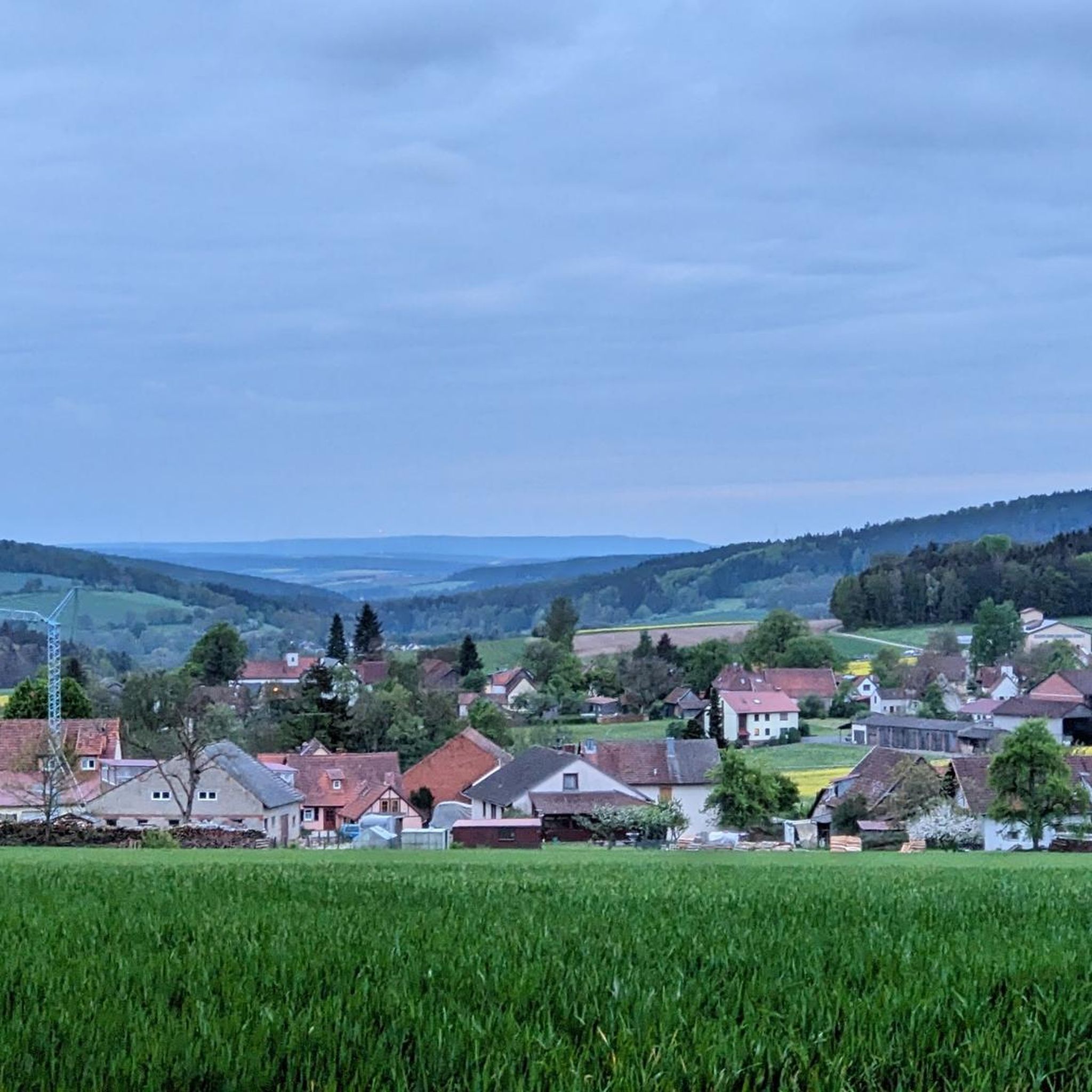
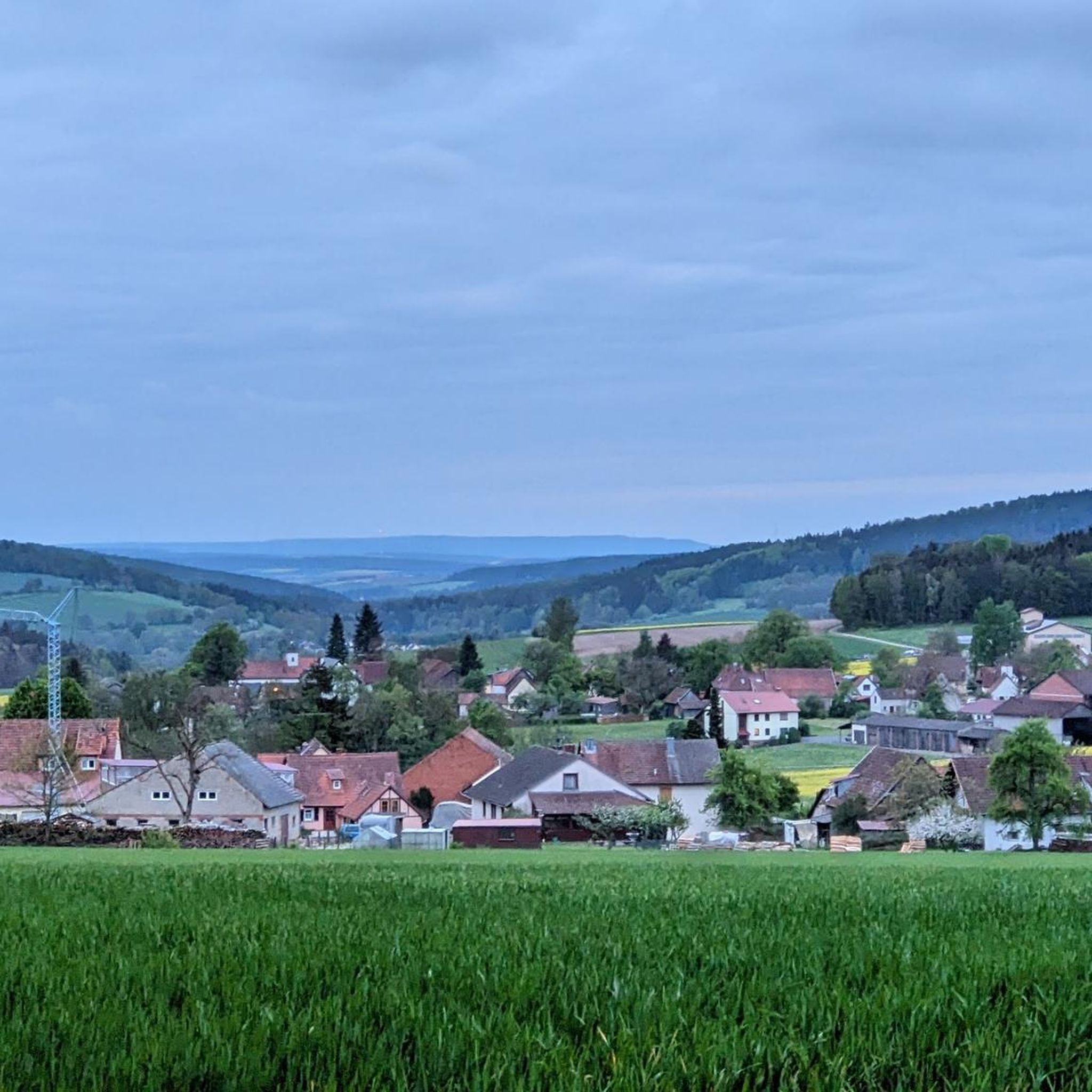
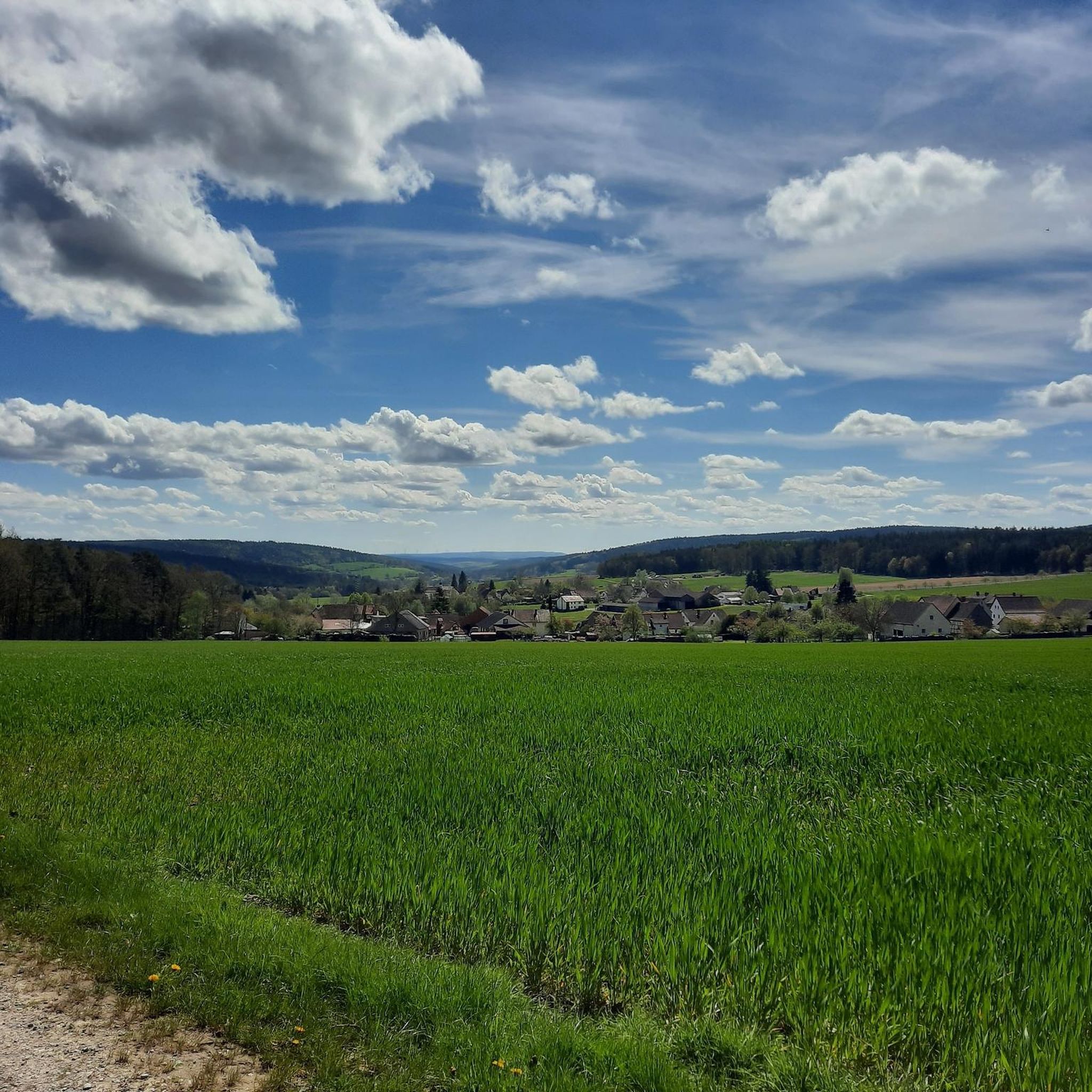
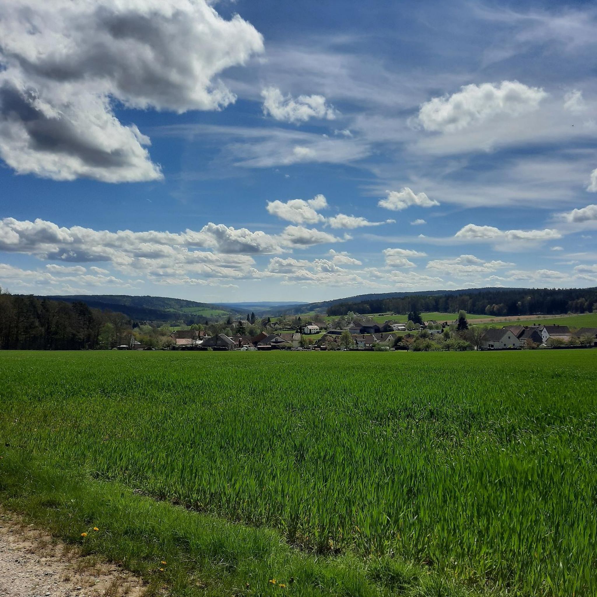
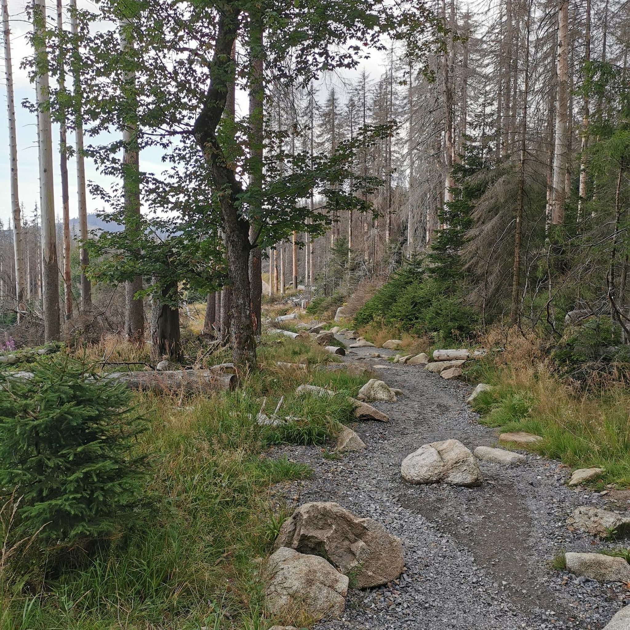
Hiking around Mellrichstadter Forst provides access to the varied terrain of the Bavarian Rhön, an area known for its rolling hills and scenic valleys. The Forst itself is a densely wooded, unpopulated region, featuring the Sulz river and the nearby Fränkische Saale. Elevations include the Heufurter Kopf, which reaches 516 meters above sea level.
Best hiking trails around Mellrichstadter Forst
- The most popular hiking route is Lichtenburg Castle – Abstrunlinge Spring (Ostheim) loop from Mellrichstadter Forst, a 11.1 miles…
Last updated: July 1, 2026
5.0
(2)
13
hikers
Hard hike. Very good fitness required. Easily-accessible paths. Suitable for all skill levels.
4.6
(5)
14
hikers
Moderate hike. Good fitness required. Easily-accessible paths. Suitable for all skill levels.

Sign up for free
5.0
(1)
8
hikers
6.73km
01:52
120m
120m
Easy hike. Great for any fitness level. Easily-accessible paths. Suitable for all skill levels.
4.7
(3)
9
hikers
6.43km
01:45
100m
100m
Easy hike. Great for any fitness level. Easily-accessible paths. Suitable for all skill levels.
3.0
(1)
2
hikers
17.3km
04:44
260m
260m
Moderate hike. Good fitness required. Easily-accessible paths. Suitable for all skill levels.
Get access to more routes and recommendations from other explorers.
Sign up for free
Already have an account?
Our route recommendations are based on thousands of hikes, rides, and runs completed by other people on komoot.
Start today with a free account
Your next adventure awaits.
Login or Signup
Tips from the Community

High up on the former volcanic cone, Central European history can be felt and experienced. A presumably Celtic hilltop settlement was followed by a medieval-Franconian hilltop castle. Its two construction phases of the unusually high surrounding walls are exactly recognizable: Basalt and shell limestone (which doesn't occur here at all). Conquered and destroyed twice. Most recently in 1525 during the "Peasants' War". Attention heritage protection: why do you expose this gem to destruction a third time??? This time to oblivion?
0
0

639 m high and powerfully towering over the surrounding forests
0
0
The high-altitude trail between Sulz and Streu is absolutely quiet and pure nature for over ten kilometers.
0
0

Somewhat hidden in the woods "The fragmentation of Germany into small states at that time left historical traces. For example, there is a boundary stone at the former inner-German border, where the territories of the Kingdom of Bavaria, the Grand Duchy of Saxe-Weimar-Eisenach, and the Duchy of Saxe-Meiningen met." 📜
0
0

The varied premium hiking trail "Der Willmarser" leads along fields, streams and forests around the picturesque villages of Willmars and Filke at the foot of the Rhön.
5
0
Frequently Asked Questions
How many hiking trails are available in Mellrichstadter Forst?
Mellrichstadter Forst offers a wide network of trails, with over 680 hiking routes available. These range from leisurely walks to more challenging excursions, catering to various fitness levels.
What is the best time of year to go hiking in Mellrichstadter Forst?
The most favorable seasons for hiking in Mellrichstadter Forst are spring and autumn. During these times, you can enjoy pleasant temperatures and vibrant natural colors, making for a particularly scenic experience.
What kind of landscape can I expect when hiking in Mellrichstadter Forst?
Mellrichstadter Forst is situated within the picturesque Bavarian Rhön, characterized by rolling hills, scenic valleys, and dense, unpopulated woodlands. You'll also find waterways like the Sulz river and the nearby Fränkische Saale, offering picturesque walks along their banks. The highest elevation within the Forst is the Heufurter Kopf, at 516 meters above sea level.
What do other hikers say about the trails in Mellrichstadter Forst?
The hiking routes in Mellrichstadter Forst are highly rated by the komoot community, with an average score of 4.5 stars from over 6,300 reviews. More than 23,000 hikers have used komoot to explore the area, often praising the varied terrain and well-maintained paths.
Are there easy hiking trails suitable for beginners in Mellrichstadter Forst?
Yes, Mellrichstadter Forst has over 330 easy hiking routes. An excellent option for a relaxed walk is the Steinkopf loop from Mellrichstadter Forst, a 4.0-mile (6.4 km) trail through wooded areas that typically takes less than two hours to complete.
Can I find challenging hikes in Mellrichstadter Forst?
For those seeking a challenge, there are 30 difficult routes in the region. A demanding option is the Lichtenburg Castle – Abstrunlinge Spring (Ostheim) loop from Mellrichstadter Forst, which is 11.1 miles (17.9 km) long and features significant elevation gain, requiring about 5 hours to complete.
Are there circular hiking routes in Mellrichstadter Forst?
Yes, the region is well-known for its numerous circular hiking trails. Many routes, like the Hutsberg Ruins – Heftenhof Deserted Village loop from Mellrichstadter Forst, are designed as loops, allowing you to start and end at the same point without retracing your steps.
Are there family-friendly hiking options in Mellrichstadter Forst?
Absolutely. The region offers nature trails equipped with informative boards about local flora and fauna, making them ideal for families. The Klaushof Wildlife Park also provides circular trails through serene forest areas, perfect for observing animals and enjoying nature with children.
What natural features or landmarks can I see along the hiking trails?
Hikers can discover a variety of natural features and landmarks. These include intriguing geological formations like the Basalt Prism Wall at Gangolfsberg. You can also explore the unique raised bogs of the Schwarzes Moor Nature Trail, or visit the Eisgraben Waterfall.
Are there any themed hiking trails in the area?
Yes, Mellrichstadter Forst and its surroundings feature several themed trails. "Der Willmarser" is a varied premium hiking trail that explores fields, streams, and forests around Willmars and Filke. Another notable route is "On the Peace Route," an educational trail commemorating the former inner-German border, which includes a sculpture trail leading to Henneburg.
Are there any routes that pass by lakes or reservoirs?
Yes, the region features several picturesque water bodies. The Mellrichstadt reservoir provides an idyllic backdrop for hiking, and you can also find highlights like the Silbersee (a former basalt quarry) and the Grimmelbach Reservoir, which are accessible via various hiking paths.
Are there good viewpoints along the trails in Mellrichstadter Forst?
While the Forst itself is densely wooded, the broader Bavarian Rhön offers excellent viewpoints. The nearby Kreuzberg provides breathtaking panoramic views of the surrounding landscape, and the summit of Gangolfsberg also offers expansive views of the Rhön.
Most popular routes around Mellrichstadter Forst
Most popular attractions around Mellrichstadter Forst

Get inspired with the komoot mobile app


Explore more
Browse the best Hikes in other regions.
