The best traffic-free bike rides around La Godivelle
4.9
(18)
592
riders
4
rides
No traffic road cycling routes around La Godivelle are set within the high-altitude Cézallier region, characterized by its vast open landscapes and volcanic features. The area is defined by its unique natural elements, including volcanic crater lakes and glacial peat bogs, offering varied terrain for road cyclists. Situated at an elevation of 1205 meters, La Godivelle provides a preserved environment shaped by ancient volcanic activity, with well-paved roads suitable for cycling.
Best no traffic road cycling routes around La Godivelle
…Last updated: July 6, 2026
5.0
(2)
24
riders
32.7km
01:37
530m
530m
Moderate road ride. Good fitness required. Mostly well-paved surfaces and easy to ride.
7
riders
51.2km
02:30
780m
780m
Moderate road ride. Good fitness required. Mostly well-paved surfaces and easy to ride.

Sign up for free
3
riders
13.7km
00:40
200m
200m
Easy road ride. Great for any fitness level. Mostly well-paved surfaces and easy to ride.
2
riders
12.5km
00:38
200m
200m
Easy road ride. Great for any fitness level. Mostly well-paved surfaces and easy to ride.
Our route recommendations are based on thousands of hikes, rides, and runs completed by other people on komoot.
Start today with a free account
Your next adventure awaits.
Login or Signup



Tips from the Community

Pleasant and fairly easy. Beautiful route.
0
0

Not too difficult, I did it on a mountain bike.
0
0


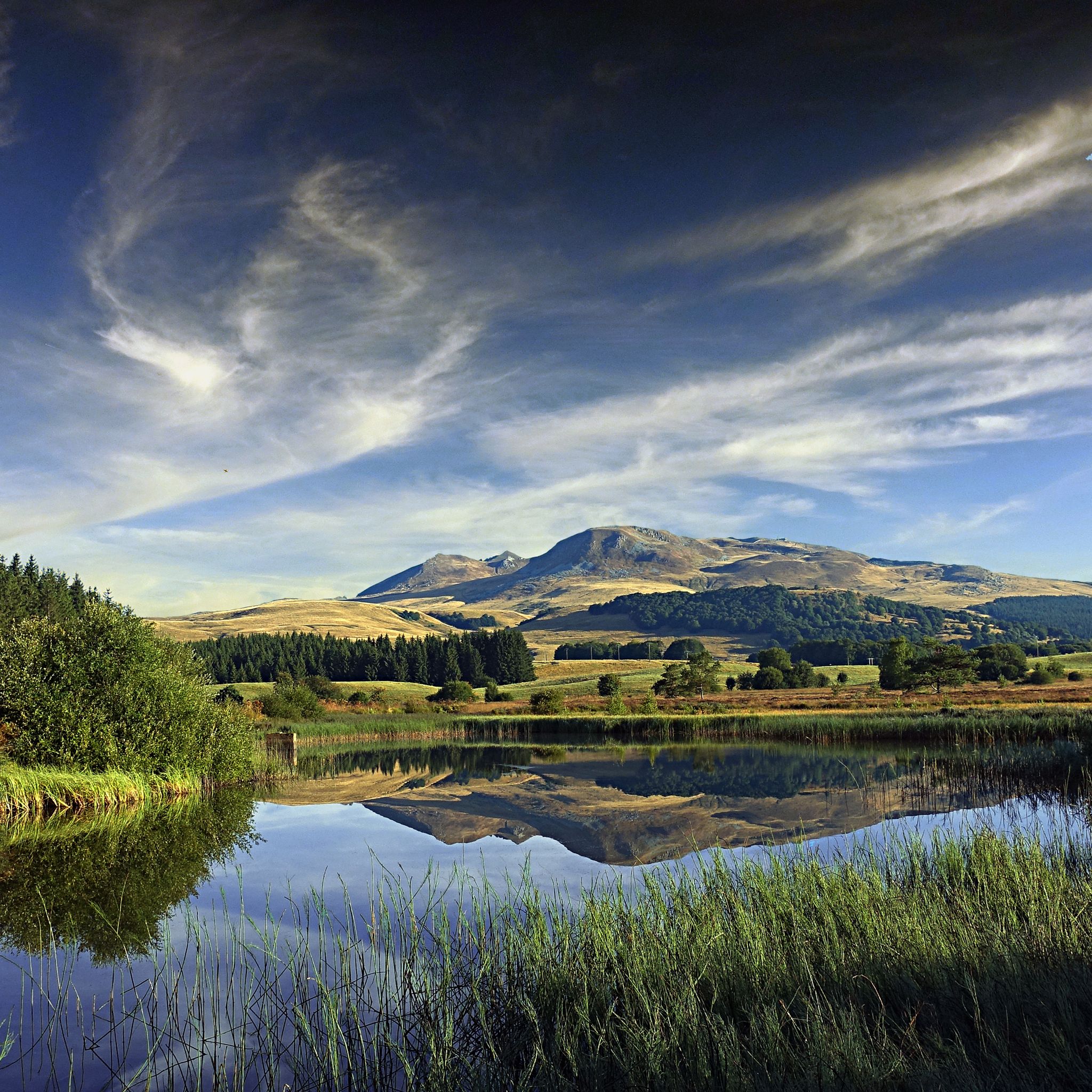
Beautiful Cézalier pass with a view of the Sancy massif
0
0

Too bad that the only refreshment point reported nearby is closed
0
0
Frequently Asked Questions
How many no-traffic road cycling routes are available around La Godivelle?
There are 4 dedicated no-traffic road cycling routes around La Godivelle featured in this guide. These routes offer a mix of easy and moderate options, perfect for enjoying the serene landscapes of the Cézallier region.
What kind of terrain can I expect on these no-traffic road cycling routes?
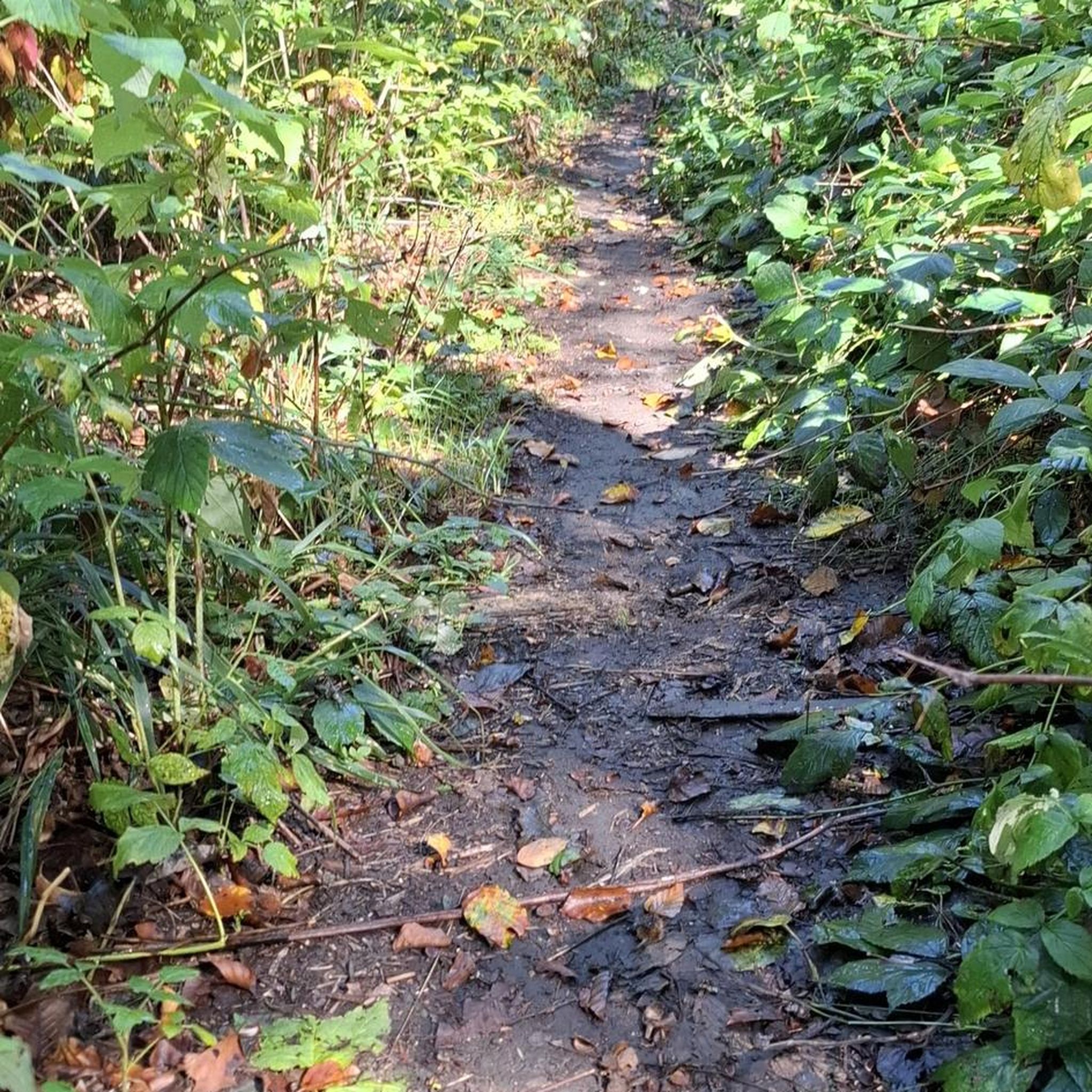
The routes around La Godivelle offer diverse terrain within the Regional Natural Park of the Volcanoes of Auvergne. You can expect magnificent landscapes, including high-altitude plateaus, volcanic lakes, and peat bogs. While roads are generally well-paved, some sections might not be asphalted, adding to the adventure. The high altitude of La Godivelle (1205 meters) ensures varied and rewarding cycling experiences with plenty of panoramic views.
Are there any easy no-traffic road cycling routes suitable for beginners?
Yes, for those looking for a gentler ride, the La Godivelle – La Godivelle,lac d'en bas loop from La Godivelle is classified as easy. This route is 13.7 km long with around 200 meters of elevation gain, offering a pleasant introduction to the area's quiet roads and beautiful scenery.
What are some popular moderate no-traffic road cycling routes?
For a more challenging experience, several moderate routes are available. The La Godivelle – Chamaroux Pass loop from La Godivelle is a popular choice, covering 32.6 km with over 500 meters of elevation. Another great option is the Col de Montgreleix (1238 m) – La Godivelle loop from Espinchal, which is 44 km long and features nearly 800 meters of climbing.
What natural attractions can I see along these routes?
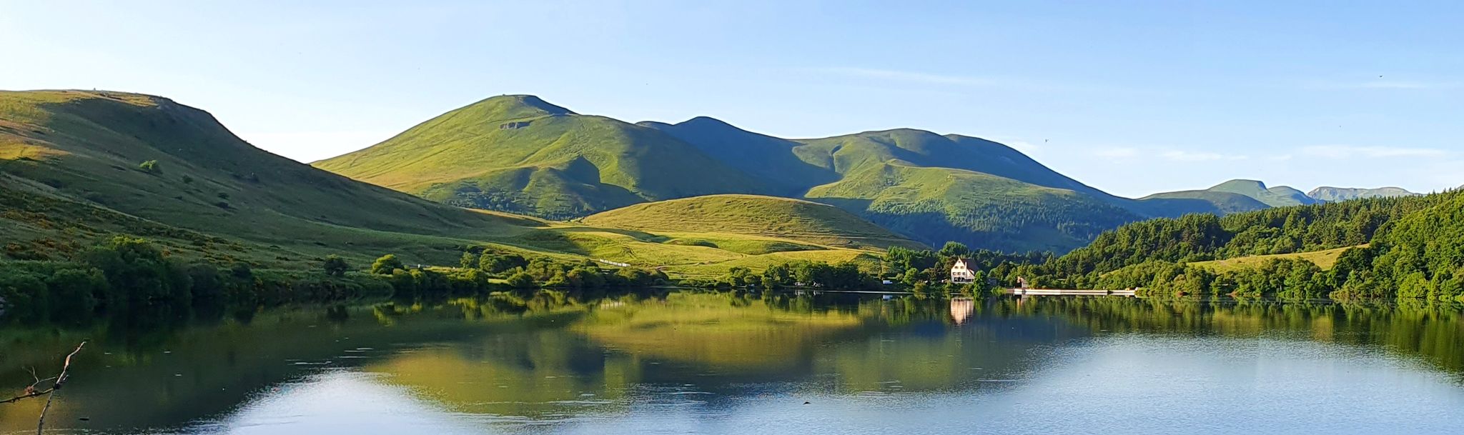
The routes often pass by significant natural features. You can explore the unique volcanic lakes, such as the Upper Lake of La Godivelle, and the glacial Lower Lake of La Godivelle, which is gradually being colonized by a peat bog. The area is also part of the Sagnes de La Godivelle National Nature Reserve, home to diverse flora and fauna. Nearby, you might also encounter the perfectly circular volcanic Lac Chauvet.
Are there any mountain passes or viewpoints on these no-traffic routes?
Yes, many routes incorporate scenic mountain passes that offer stunning panoramic views of the Cézallier. You can expect to encounter passes like Volpilière Pass, Col de Chamaroux, and Col de Montgreleix (1238 m). These elevated points provide excellent opportunities to appreciate the vast, open scenery often compared to the Scottish Highlands.
What do other road cyclists enjoy most about cycling in La Godivelle?
The area is highly rated by the komoot community, with an average score of 4.9 stars. Reviewers often praise the quiet, traffic-free roads, the magnificent and varied landscapes, and the sense of tranquility found within the Regional Natural Park of the Volcanoes of Auvergne. The challenging yet rewarding climbs and the stunning panoramic views are frequently highlighted as key attractions.
Are there any circular no-traffic road cycling routes?
Yes, all the routes listed in this guide are circular, allowing you to start and end your ride in the same location. For example, the Chamaroux Pass – La Godivelle loop from Espinchal offers a 51.2 km circular journey through the scenic Cézallier.
What is the best time of year to cycle these no-traffic routes?
The summer months are generally ideal for road cycling in La Godivelle. The high altitude means pleasant temperatures, and the open landscapes are at their most vibrant. However, always check local weather conditions, as mountain weather can be unpredictable. Spring and early autumn can also offer beautiful rides with fewer crowds, but be prepared for cooler temperatures.
Are there any facilities or points of interest in La Godivelle village itself?
The charming village of La Godivelle offers a beautiful Romanesque church and the largest fountain in the Puy-de-Dôme department, which provides drinkable water. It's a great spot to pause and refill your bottles before or after your ride, and to soak in the local atmosphere.
Is there public transport access to La Godivelle for cyclists?
While La Godivelle is somewhat remote, being nestled in the Cézallier, public transport options are limited. It is generally recommended to travel by car to reach the starting points of these routes. However, some routes, like the Col de Montgreleix (1238 m) – La Godivelle loop, start from nearby villages like Espinchal, which might have more accessible transport links or parking facilities.
Where can I find parking near the no-traffic road cycling routes?
Parking is typically available in the villages where the routes start, such as La Godivelle itself or Espinchal. These small communities usually have designated parking areas or roadside spots where you can safely leave your vehicle while you enjoy your ride. Always check local signage for any restrictions.
Most popular routes around La Godivelle
Most popular attractions around La Godivelle

Get inspired with the komoot mobile app


Explore more
Browse the best Road cycling routes in other regions.
