The best traffic-free bike rides around Saint-Ail
4.7
(62)
2,496
riders
1
ride
No traffic road cycling routes around Saint-Ail traverse a diverse landscape characterized by bucolic river valleys, rolling hills, and forested zones. The region's terrain offers varied cycling experiences, with elevations ranging from 229 to 328 meters. Cyclists can find paths along the Moselle and Meurthe rivers, as well as routes through more undulating areas. This blend of features provides a suitable environment for road cycling.
Best no traffic road cycling routes around Saint-Ail
- The most popular no traffic road cycling…
Last updated: July 5, 2026
112
riders
29.4km
01:30
440m
440m
Moderate road ride. Good fitness required. Mostly well-paved surfaces and easy to ride.
4.0
(1)
19
riders
Moderate road ride. Great for any fitness level. Some segments of this route may be unpaved and difficult to ride.

Sign up for free
14
riders
Moderate road ride. Good fitness required. Mostly well-paved surfaces and easy to ride.
14
riders
18.7km
00:55
260m
260m
Easy road ride. Great for any fitness level. Mostly well-paved surfaces and easy to ride.
9
riders
17.4km
00:49
200m
200m
Easy road ride. Great for any fitness level. Mostly well-paved surfaces and easy to ride.
Our route recommendations are based on thousands of hikes, rides, and runs completed by other people on komoot.
Start today with a free account
Your next adventure awaits.
Login or Signup
Popular around Saint-Ail
Tips from the Community

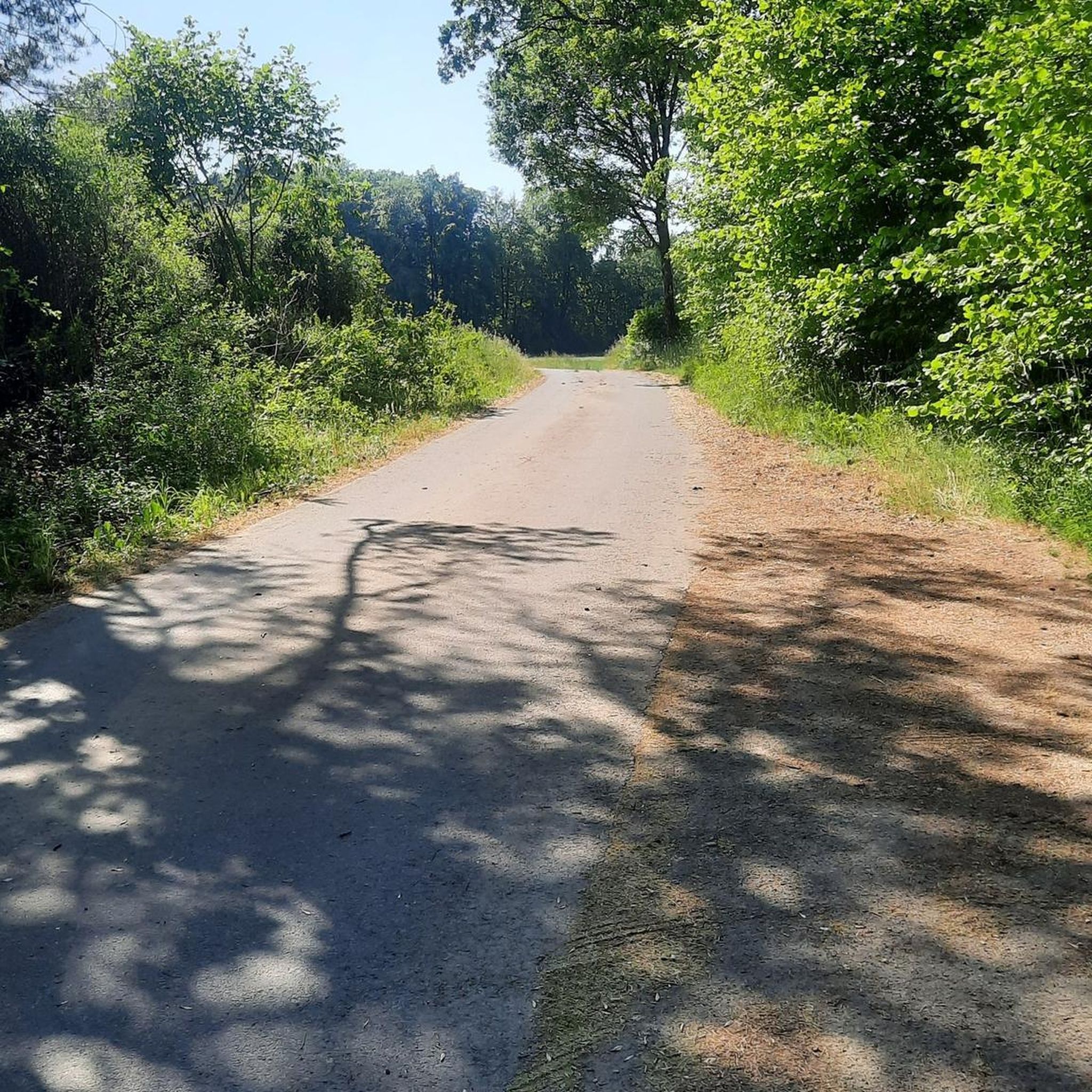
the bike path rides really well
0
0
really nice perfect bike path
0
0

Small decorated square with a fountain
1
0

Relics from the coal and steel era in the region. The former steelworks in Uckange can be visited.
0
0
The road is superbly paved and therefore a great ride. But be careful, some of the bends are tight and blind!
0
0

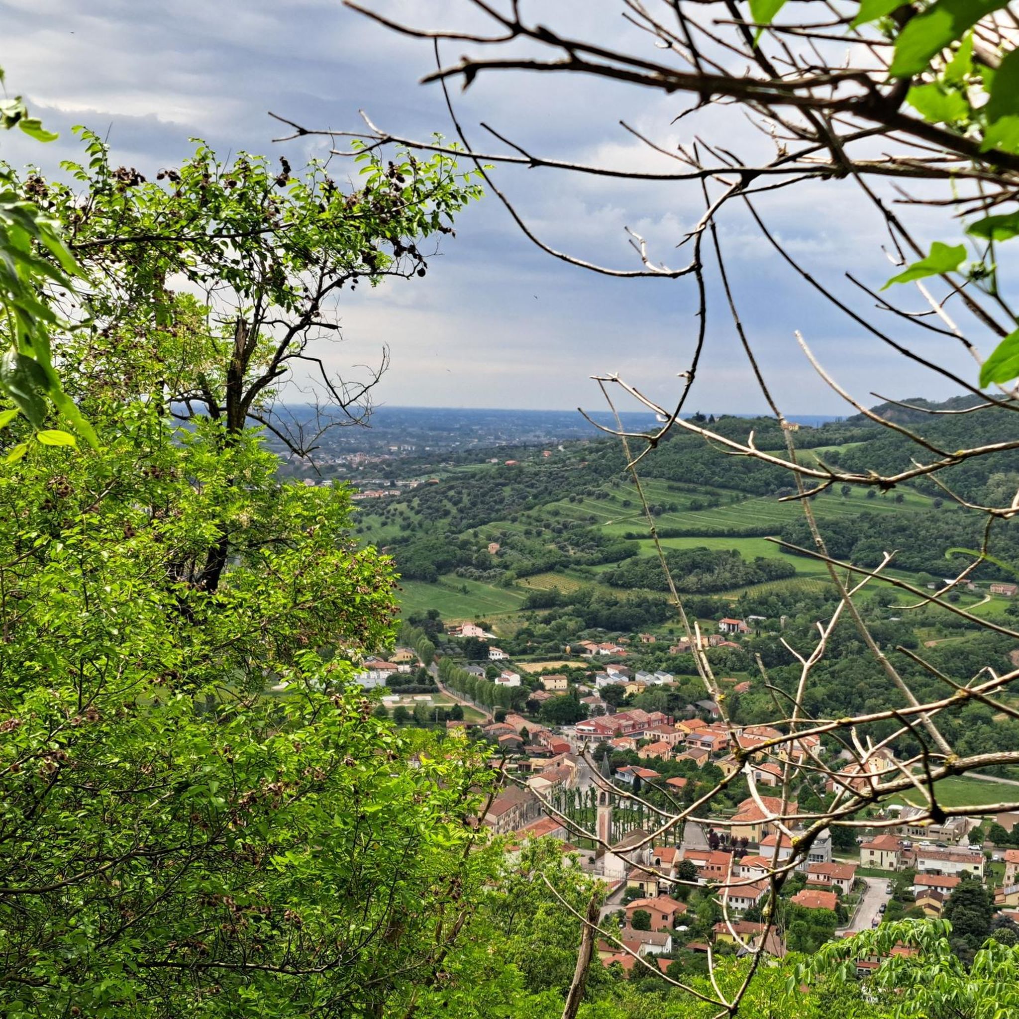
As you climb the challenging Col de Lessy, you will be rewarded with breathtaking panoramic views of the surrounding countryside. When you reach the summit, you will be greeted by views of the picturesque Moselle Valley, with its rolling hills, vineyards and charming villages.
1
0

Beautiful lock house for small boaters, next to it is the lock for large ships.
2
0
Coming from le Ban-Saint-Martin, a beautiful winding road leads up through the forest (Route Touristique). Coming from Scy-Chazelles, the road is straight and quite steep uphill!
1
0
Frequently Asked Questions
How many no-traffic road cycling routes are featured in this guide for Saint-Ail?
This guide highlights 5 dedicated no-traffic road cycling routes around Saint-Ail, offering a variety of distances and experiences. You can explore options like the Cyclepath of Charles le Téméraire – Bistro on the Moselle Cycle Path loop from Semécourt or the Gorze loop from Amanvillers.
What is the best time of year to enjoy traffic-free road cycling around Saint-Ail?
The region around Saint-Ail, including the Moselle and Meurthe river valleys, is generally pleasant for cycling from spring through autumn. The mild weather during these seasons makes for ideal conditions to explore the varied landscapes of rolling hills and forested areas without the summer heat or winter chill. Always check local weather conditions before you head out.
Are there any easy, car-free road cycling routes suitable for beginners near Saint-Ail?
Yes, there are routes suitable for beginners. For instance, the Mount Saint-Quentin – Entrance to Fort Alvensleben loop from Woippy is an easy option, covering approximately 17.4 km. Another accessible choice is the Entrance to Fort Alvensleben – Mount Saint-Quentin loop from Scy-Chazelles, which is about 11.8 km long.
What kind of landscapes can I expect on these no-traffic road cycling routes?
The routes around Saint-Ail offer a diverse cycling experience. You'll traverse bucolic river valleys, encounter picturesque rolling hills, and pass through serene forested zones. The region's natural beauty is enhanced by features like the Plan d'Eau de la Sangsue and the broader Lorraine Regional Natural Park, providing a scenic backdrop for your ride.
Are there any historical sites or points of interest along these car-free routes?
Absolutely! Many routes offer glimpses into the region's rich history. You might pass by sites such as Fort Saint-Quentin, the House of Robert Schuman, Founding Father of the European Community, or the Mont Saint-Germain Archaeological Site. These offer opportunities for cultural exploration alongside your ride.
What do other cyclists say about the no-traffic road cycling experience in Saint-Ail?
The komoot community highly rates the cycling experience around Saint-Ail, with an average score of 4.5 out of 5 stars from 45 ratings. Cyclists often praise the varied scenery, the quiet nature of the routes, and the blend of river valleys and rolling hills that make for an engaging ride.
Are there any longer, more challenging no-traffic road cycling routes for experienced riders?
Yes, for those seeking a longer and more challenging ride, the Lessy Pass – House of Robert Schuman, Founding Father of the European Community loop from Moulins-lès-Metz offers a moderate challenge over approximately 36.9 km with significant elevation changes. The Gorze loop from Amanvillers is also a moderate option at nearly 52 km.
Can I find circular (loop) routes among the no-traffic options?
Yes, all the routes highlighted in this guide are circular loops, designed to bring you back to your starting point. This includes routes like the Cyclepath of Charles le Téméraire – Bistro on the Moselle Cycle Path loop from Semécourt and the Mount Saint-Quentin – Entrance to Fort Alvensleben loop from Woippy, making planning your ride straightforward.
Are there any specific natural features or viewpoints to look out for?
Keep an eye out for the picturesque Plan d'Eau de la Sangsue, a beautiful lake that offers serene views. The routes also often provide scenic vistas over the Moselle and Meurthe river valleys, as well as panoramic views from higher points in the rolling hills.
Where can I find more information about the broader cycling network in the Meurthe-et-Moselle department?
The Meurthe-et-Moselle department boasts an extensive network of 600 km of cycle paths. For more detailed information on the wider cycling opportunities and greenways in the region, you can consult the official tourism website for Meurthe-et-Moselle: tourisme-meurtheetmoselle.fr.
Is parking available near the starting points of these no-traffic road cycling routes?
While specific parking details for each route's starting point are best checked on the individual route pages, most popular cycling areas and trailheads in the region, especially those near towns like Semécourt, Woippy, Moulins-lès-Metz, and Amanvillers, typically offer public parking facilities. It's advisable to review the route details on komoot for the most precise information regarding parking at your chosen starting location.
Most popular attractions around Saint-Ail

Get inspired with the komoot mobile app


Explore more
Browse the best Road cycling routes in other regions.
