The best traffic-free bike rides around Montmorin
4.6
(67)
681
riders
21
rides
No traffic touring cycling routes around Montmorin are situated in France's Auvergne region, characterized by its volcanic landscapes and diverse terrain. The area features dramatic scenery including volcanic peaks, serene lakes, and challenging mountain passes. Extensive forests and the Auvergne Volcanic Regional Nature Park contribute to a varied environment for cyclists. The region offers a mix of paved surfaces and significant elevation changes, making it suitable for touring cycling.
Best no traffic touring cycling routes around Montmorin
- The most popular…
Last updated: October 22, 2026
5
riders
Moderate bike ride. Good fitness required. Mostly paved surfaces. Suitable for all skill levels.
4.7
(7)
95
riders
66.2km
04:18
900m
900m
Hard bike ride. Very good fitness required. Mostly paved surfaces. Suitable for all skill levels.

4.5
(2)
20
riders
51.8km
04:18
1,330m
1,330m
Hard bike ride. Very good fitness required. Mostly paved surfaces. Suitable for all skill levels.
5.0
(1)
35
riders
66.7km
04:45
1,380m
1,370m
Hard bike ride. Very good fitness required. Mostly paved surfaces. Suitable for all skill levels.
4.0
(4)
30
riders
39.0km
02:36
620m
620m
Hard bike ride. Very good fitness required. Mostly paved surfaces. Suitable for all skill levels.
Get access to more routes and recommendations from other explorers.
Already have an account?
Our route recommendations are based on thousands of hikes, rides, and runs completed by other people on komoot.
Start today with a free account
Your next adventure awaits.
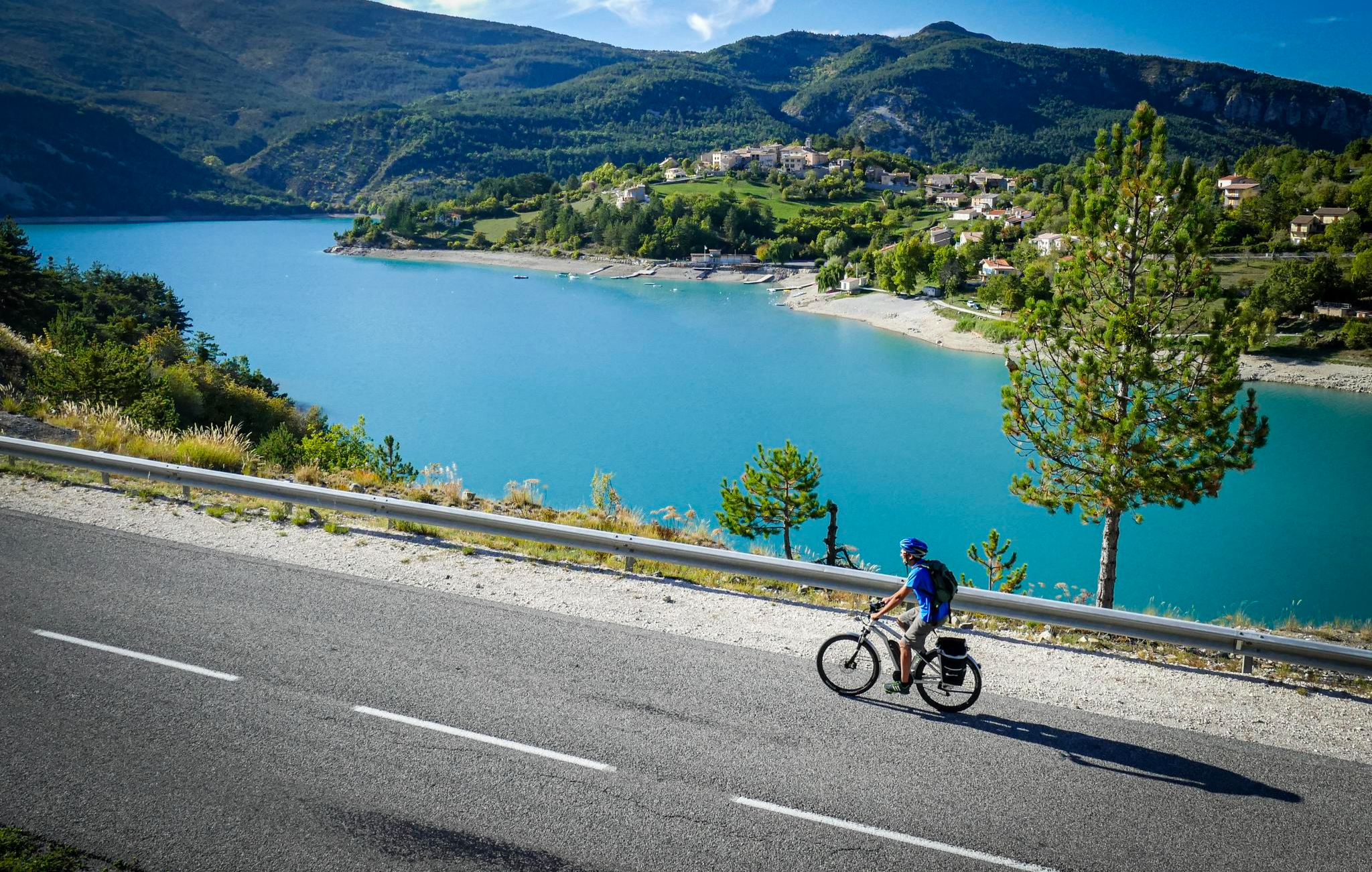
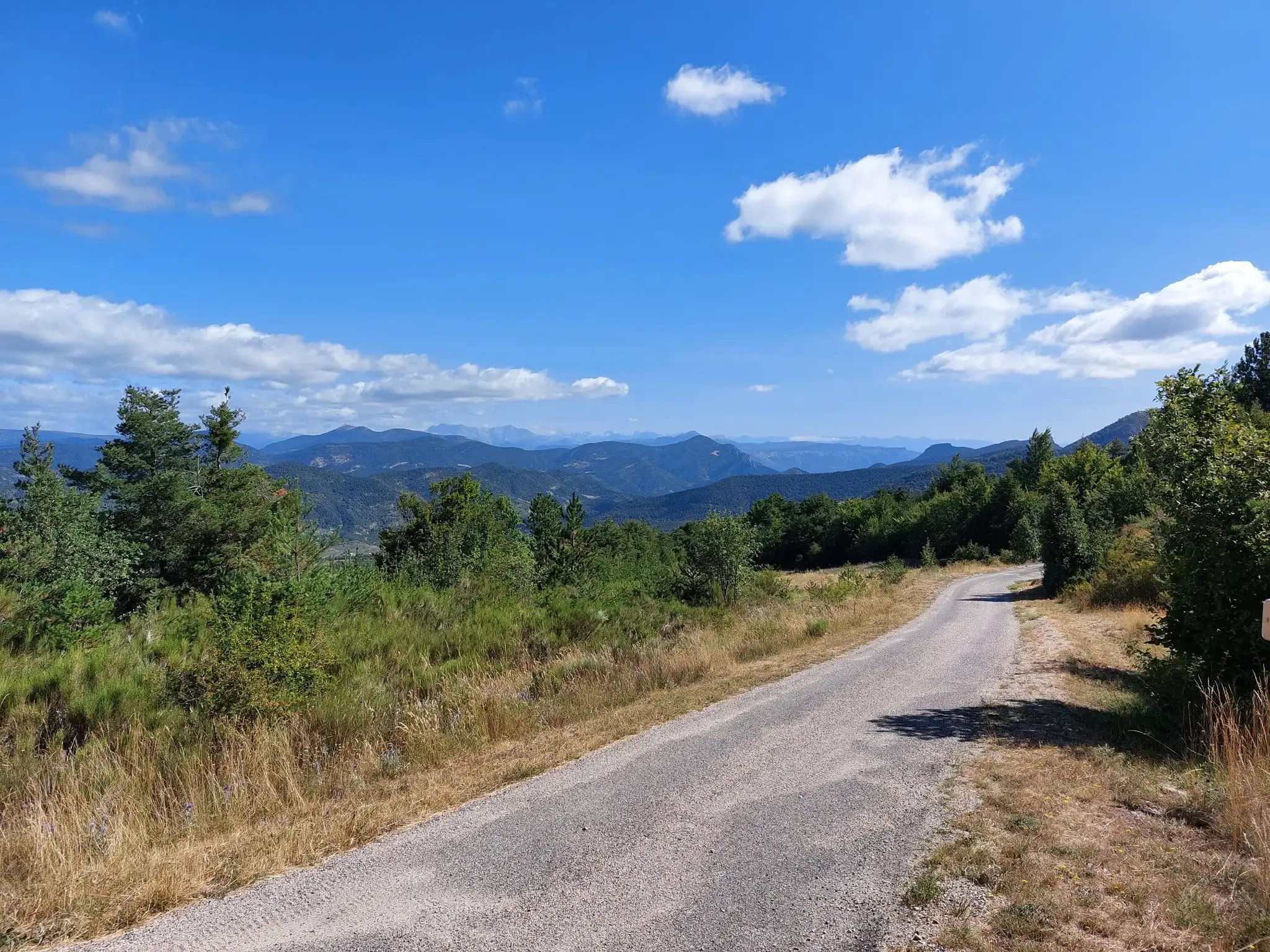
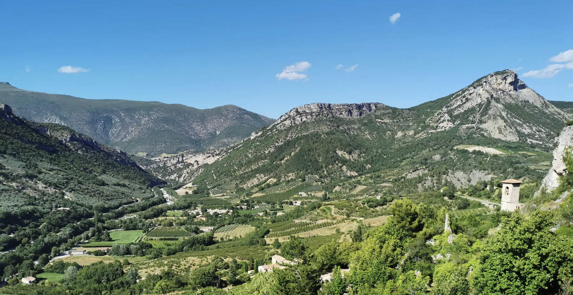
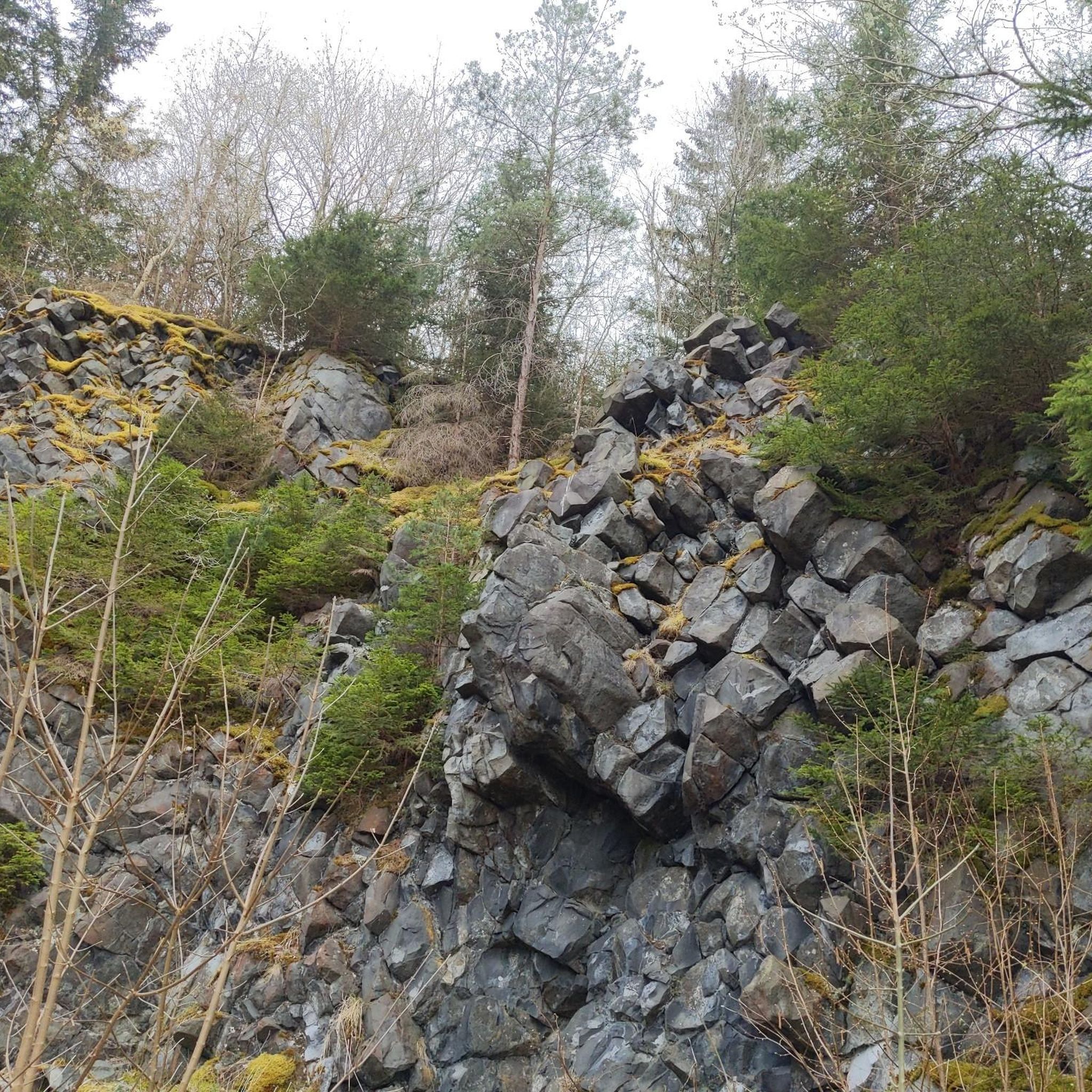
Other adventures around Montmorin


Tips from the Community

Building maintained in excellent condition.
10
0
The ascent to Col de la Fromagère / Col de Pommerol from Rosans is located in the Hautes-Alpes region. This ascent is 6.6 km long, with a total elevation gain of 371 m. The average gradient of the ascent to Col de la Fromagère / Col de Pommerol from Rosans is 5.6%.
5
0
Traffic-free road. A truly sublime passage through the Alps.
7
0
Very easy climb, the gradients never exceed 6%.
5
0
Not a very demanding climb. Asphalt in excellent condition.
6
0
The Col de Pommerol is a climb located in the Hautes Alpes region. It has a length of 6.6 km, an elevation gain of 371 m, and an average gradient of 5.6%.
4
0
Frequently Asked Questions
How many no-traffic touring cycling routes are available in Montmorin?
There are over 20 dedicated no-traffic touring cycling routes around Montmorin, offering a variety of distances and challenges for cyclists looking to explore the region without vehicle interference.
What is the best time of year to cycle the no-traffic routes in Montmorin?
The best time to cycle in Montmorin is generally from late spring to early autumn (May to October). During these months, the weather is typically mild, and the stunning volcanic landscapes and forests are at their most vibrant. It's advisable to check local weather forecasts, especially for mountain passes, as conditions can change rapidly.
What kind of terrain and elevation can I expect on these no-traffic touring routes?
The no-traffic touring routes in Montmorin often feature varied terrain, reflecting the region's volcanic origins and proximity to the Massif du Sancy. You can expect a mix of paved surfaces, challenging mountain passes like the Col des Pradeaux or Col de la Croix Morand, and significant elevation gains. For example, routes can range from moderate with around 400 meters of elevation gain to difficult with over 1300 meters, providing exhilarating climbs and descents.
Are there any easier no-traffic touring routes suitable for beginners or less experienced cyclists?
While many routes in the Montmorin area are rated moderate to difficult due to the mountainous terrain, there are options that cater to varying fitness levels. For a moderate introduction, consider the Saint-André-de-Rosans, Sorbiers et Montjay – loop in the Vallée de l'Eygues, which offers a manageable distance and elevation gain.
What natural features and landmarks can I expect to see along the no-traffic touring routes?
Cycling in Montmorin offers breathtaking natural beauty. You'll encounter dramatic volcanic landscapes, serene lakes like Lac du Guery and Lac Pavin, and expansive forests within the Auvergne Volcanic Regional Nature Park. Many routes also pass by significant mountain passes such as Col de Carabès and offer views of peaks like Montagne de Raton.
Are there any castles or historical sites accessible from these routes?
Yes, the region around Montmorin is rich in history and culture. Some routes may lead you near picturesque villages and historical sites. For instance, the Col de Rossas – La Charce Castle loop from Station de Valdrôme offers a chance to see La Charce Castle. You might also pass through charming settlements like Rosans, known for its medieval character.
Is parking available at the starting points of these no-traffic routes?
Parking availability varies by route starting point. Many villages and towns in the Montmorin region, which serve as common starting points for cycling tours, offer public parking facilities. It's advisable to check specific route details or local tourist information for the most convenient parking options near your chosen starting location.
Can I reach the no-traffic cycling routes by public transport with my bike?
Public transport options in the rural Auvergne region can be limited, especially for carrying bikes. While some regional buses or trains might accommodate bicycles, it's not always guaranteed or convenient. For dedicated no-traffic routes, driving to a starting point with your bike is often the most practical option. Always check with local transport providers for their specific bike policies.
Are there cafes or places to stop for refreshments along the no-traffic touring routes?
Many no-traffic touring routes in Montmorin pass through or near charming villages where you can find cafes, bakeries, and small restaurants. These provide excellent opportunities to refuel and experience local hospitality. However, on longer or more remote sections, amenities may be scarce, so it's always wise to carry sufficient water and snacks.
What do other touring cyclists enjoy most about cycling in Montmorin?
The Montmorin area is highly rated by the komoot community, with an average score of 4.65 stars. Reviewers often praise the stunning and diverse volcanic landscapes, the challenging yet rewarding mountain passes, and the opportunity to explore picturesque villages and historical sites on quiet, traffic-free roads. The sense of immersion in nature and the exhilarating climbs and descents are frequently highlighted.
Are there any circular no-traffic touring routes available?
Yes, many of the no-traffic touring routes in Montmorin are designed as circular loops, allowing you to start and end your journey in the same location. This is particularly convenient for those traveling by car. An example is the Medieval village of Rosans – Col des Tourette (1126 m) loop from Rosans, which offers a substantial circular challenge.
Most popular attractions around Montmorin

Get inspired with the komoot mobile app


Explore more
Browse the best Cycling routes in other regions.
