The best traffic-free bike rides around Chadenet
4.6
(25)
307
riders
37
rides
No traffic touring cycling routes around Chadenet traverse a diverse landscape at the intersection of the granitic Margeride and the schistous Cévennes. The region features vast pastures, dense forests, and heathlands, with elevations ranging from 859 to 1,345 meters. The Lot river carves deep, wild gorges, adding to the varied terrain suitable for touring cyclists. This area, part of two Natura 2000 sites, offers a mix of challenging mountainous sections and more gentle rides through valleys.
Best no traffic touring…
Last updated: July 5, 2026
5.0
(1)
6
riders
17.4km
01:17
350m
360m
Moderate bike ride. Good fitness required. Mostly paved surfaces. Suitable for all skill levels.
5.0
(1)
7
riders
43.4km
03:44
520m
530m
Hard bike ride. Very good fitness required. Mostly paved surfaces. Suitable for all skill levels.

Sign up for free
7
riders
6.97km
00:40
310m
310m
Moderate bike ride. Good fitness required. Mostly paved surfaces. Suitable for all skill levels.
4.0
(1)
6
riders
11.7km
01:01
140m
140m
Easy bike ride. Great for any fitness level. Mostly paved surfaces. Suitable for all skill levels.
5.0
(1)
4
riders
17.4km
01:16
340m
340m
Moderate bike ride. Good fitness required. Mostly paved surfaces. Suitable for all skill levels.
Get access to more routes and recommendations from other explorers.
Sign up for free
Already have an account?
Our route recommendations are based on thousands of hikes, rides, and runs completed by other people on komoot.
Start today with a free account
Your next adventure awaits.
Login or Signup
Popular around Chadenet
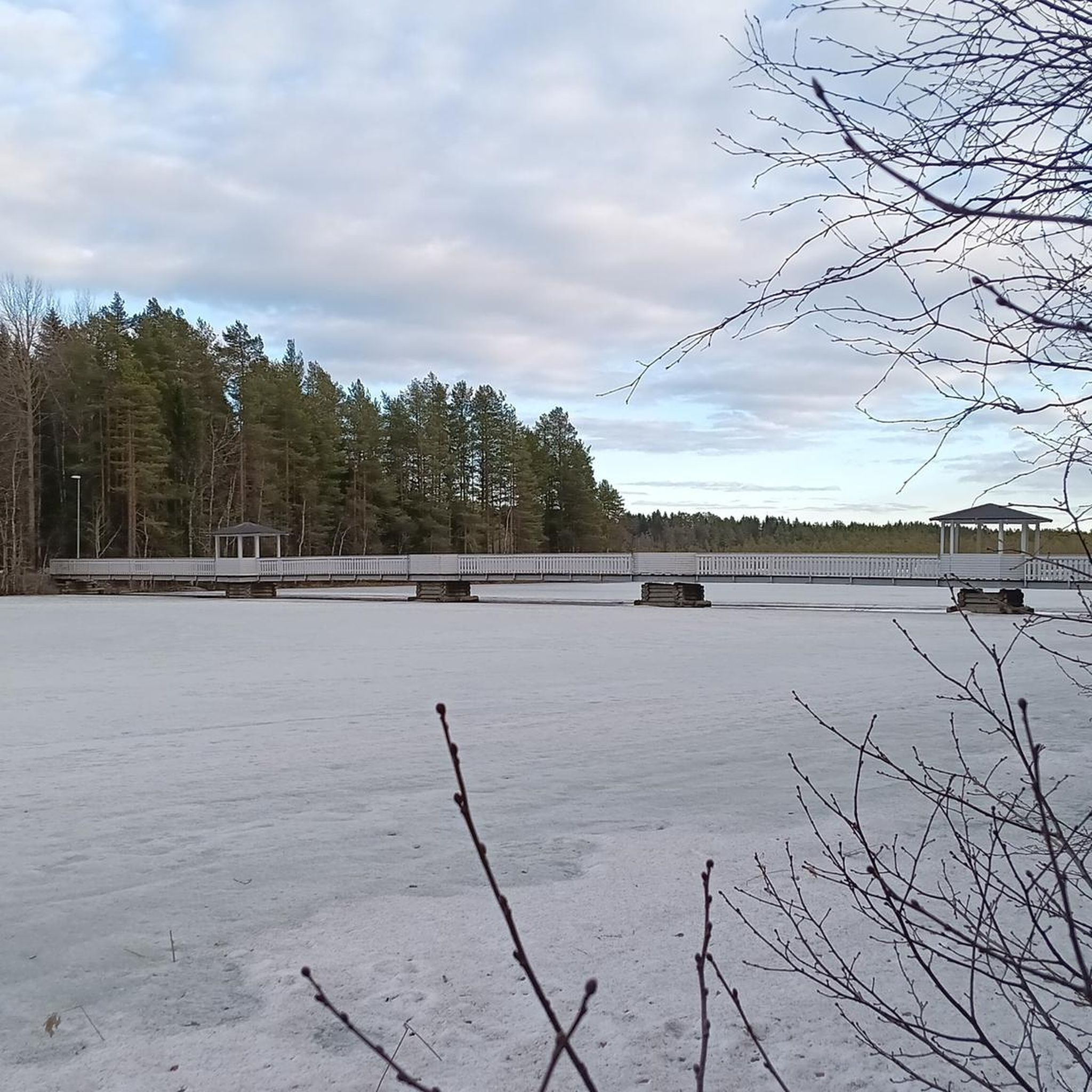
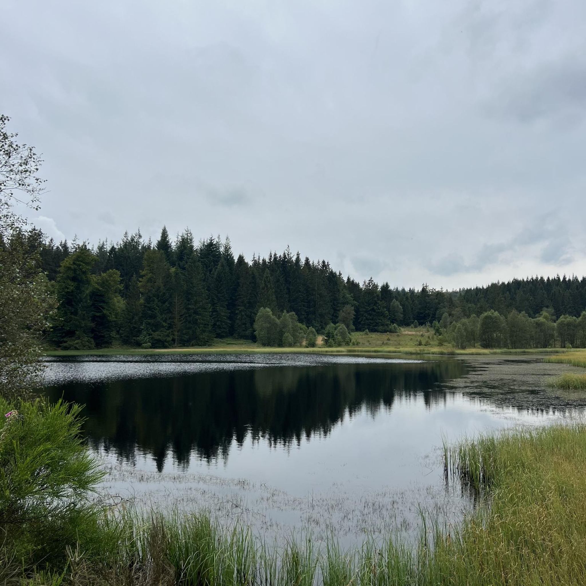
Tips from the Community

From the climb to Croix Neuve, you can enjoy several viewpoints over Mende.
0
0

Lac de Charpal lies at an altitude of 1,360 meters amidst raised bogs, forests, and heathland. This artificial reservoir, built in the 1930s, supplies Mende with drinking water. Today, it is a tranquil retreat, popular for hiking, nature observation, and its protected flora and fauna.
0
0

In Gravel with a single chainring and panniers it’s very complicated… you have to be very strong
0
0

On the way to and along Lac de Charpal
0
0

A small town on the Lot River, but few options. Everything was closed when I drove through. Unfortunately, there were no water sources to be found anywhere.
0
0

To warm up your thighs: 3 km at an average gradient of 10.8%!
0
0

Frequently Asked Questions
How many no-traffic touring cycling routes are available around Chadenet?
There are over 35 dedicated no-traffic touring cycling routes around Chadenet, offering a variety of experiences for different skill levels. You'll find routes ranging from moderate to difficult, ensuring a suitable option for most touring cyclists.
What kind of terrain can I expect on no-traffic touring cycling routes in Chadenet?
The terrain around Chadenet is diverse, reflecting its location at the intersection of the Margeride and Cévennes regions. You can expect a mix of vast pastures, dense forests, and dramatic granite formations in the Margeride to the north. To the southeast, within the Cévennes, routes will feature schistous mountain chains and the deep, wild gorges carved by the Lot river. Elevations range significantly, from 859 to 1,345 meters, providing varied climbs and descents.
Are there any easy or beginner-friendly no-traffic touring cycling routes near Chadenet?
Yes, while many routes are moderate to difficult, there are a couple of easier options available. These routes are perfect for beginners or those looking for a more relaxed ride through the picturesque landscapes. For example, the Village Mort de La Chaumette – Village Mort Le Gerbal loop from Aérodrome de Mende-Brenoux is a moderate route that offers a good introduction to the area's charm.
What are some notable natural features or landmarks I can see along the routes?
The region is rich in natural beauty and geological formations. You can explore the dramatic granite rock formations characteristic of the Margeride, or witness the powerful Lot river as it carves deep gorges. Highlights include mountain passes like Loubière Pass and Col du Goulet. You might also encounter the Standing Stone of the Knights of Malta, a unique natural monument.
Are there any circular no-traffic touring cycling routes in the Chadenet area?
Yes, many of the no-traffic touring cycling routes around Chadenet are designed as loops, allowing you to start and end at the same point without retracing your steps. An example is the Bagnols-les-Bains – Tour du Villaret loop from Allenc, which offers a scenic circular journey.
What is the best time of year to go touring cycling in Chadenet?
Given Chadenet's mountainous climate and elevation, the best time for touring cycling is typically from late spring through early autumn (May to October). During these months, the weather is generally milder and more stable, making for more enjoyable rides. Summer offers the warmest temperatures, while spring and autumn provide beautiful seasonal colors and fewer crowds.
Are there any family-friendly no-traffic touring cycling routes?
While many routes feature moderate to difficult grades due to the mountainous terrain, some of the easier and shorter loops can be suitable for families with older children or those accustomed to cycling. Always check the route's elevation gain and distance to ensure it matches your family's capabilities. The region's natural beauty makes it a rewarding experience for all.
Can I bring my dog on the no-traffic touring cycling routes?
The Chadenet region, being part of Natura 2000 sites and a natural park, is generally welcoming to dogs, provided they are kept under control. However, specific rules can vary by trail or protected area. It's advisable to keep your dog on a leash, especially in areas with livestock or wildlife, and to always clean up after them. Ensure your dog is fit enough for the chosen route's distance and elevation.
What do other touring cyclists enjoy most about cycling in Chadenet?
The area is highly rated by the komoot community, with an average score of 4.6 out of 5 stars. Reviewers often praise the tranquility of the no-traffic routes, the stunning natural landscapes of the Margeride and Cévennes, and the challenging yet rewarding climbs. The sense of immersion in nature and the diverse scenery are frequently highlighted as major draws.
Are there any longer, more challenging no-traffic touring routes for experienced cyclists?
Absolutely. Chadenet offers several difficult routes for experienced touring cyclists seeking a challenge. For instance, the Lake Charpal – Lac de Charpal loop from Montbel is a difficult route spanning over 43 kilometers with significant elevation gain, providing a demanding yet scenic adventure through the region's varied landscapes.
Where can I find cafes or places to rest along the no-traffic touring routes?
While the routes are designed to be traffic-free, they often pass near or through small villages where you can find local cafes, bakeries, or small shops to refuel. It's always a good idea to check the route in advance and plan your stops, especially on longer or more remote sections. Packing sufficient water and snacks is recommended, as services might be sparse in some areas.
Is public transport available to access the no-traffic touring routes, especially with a bike?
Public transport options in this rural, mountainous region can be limited. While some bus services might connect larger towns like Mende, their frequency and bike-carrying capacity can vary. It's generally more convenient to access the starting points of these routes by car, or to plan your tour to start from a town with better transport links if you're relying on public transport. Always check local transport schedules and bike policies in advance.
Most popular attractions around Chadenet

Get inspired with the komoot mobile app


Explore more
Browse the best Cycling routes in other regions.
