The best traffic-free bike rides around Névache
4.7
(132)
1,540
riders
42
rides
Gravel biking around Névache offers access to a preserved natural environment in the high Clarée Valley of the French Alps. The region features a varied landscape, including wide trails, singletrack through meadows, and historic old military roads. These routes navigate dramatic mountains, dense forests, and picturesque lakes, providing diverse terrain for gravel cyclists. The area is characterized by its high mountain passes and alpine scenery, making it suitable for adventurous exploration.
Best no traffic gravel bike trails around Névache
- The most popular no traffic gravel bike trail is Colle del Sommeiller, a 35.3 miles (56.8 km) trail that takes 6 hours 29 minutes to complete. This difficult route ascends to a high mountain pass, offering a challenging alpine gravel experience.
- Another top favourite among local gravel bikers is Forte Föens – Fort Jafferau loop from Bardonecchia, a difficult 22.8 miles (36.7 km) path. This route explores old military tracks and offers scenic views of the surrounding alpine landscape.
- Local gravel bikers also love the Forte Bramafam – Pine Forest Trail loop from Bardonecchia, a 17.2 miles (27.7 km) trail leading through pine forests and historic fortifications, often completed in about 2 hours 26 minutes.
- Gravel biking around Névache is defined by the Clarée Valley, high mountain passes, and old military roads. The network offers options for different ability levels, though many routes present significant challenges.
- The routes in Névache are highly rated by the komoot community with an average score of 4.8 stars from over 90 reviews. More than 1000 gravel bikers have used komoot to explore Névache's varied terrain.
Last updated: July 5, 2026
5.0
(5)
48
riders
56.8km
06:29
1,810m
1,810m
Hard gravel ride. Very good fitness required. You may need to push your bike for some segments of this route.
5.0
(2)
20
riders
36.7km
03:32
1,620m
1,620m
Hard gravel ride. Very good fitness required. Mostly paved surfaces. Suitable for all skill levels.

Sign up for free
5.0
(2)
30
riders
34.4km
02:45
840m
840m
Hard gravel ride. Very good fitness required. Mostly paved surfaces. Suitable for all skill levels.
4.7
(3)
45
riders
40.7km
03:16
1,230m
1,230m
Hard gravel ride. Very good fitness required. Mostly paved surfaces. Suitable for all skill levels.
5.0
(2)
11
riders
33.3km
02:42
1,040m
1,040m
Hard gravel ride. Very good fitness required. Mostly paved surfaces. Suitable for all skill levels.
Get access to more routes and recommendations from other explorers.
Sign up for free
Already have an account?
Our route recommendations are based on thousands of hikes, rides, and runs completed by other people on komoot.
Start today with a free account
Your next adventure awaits.
Login or Signup
Popular around Névache
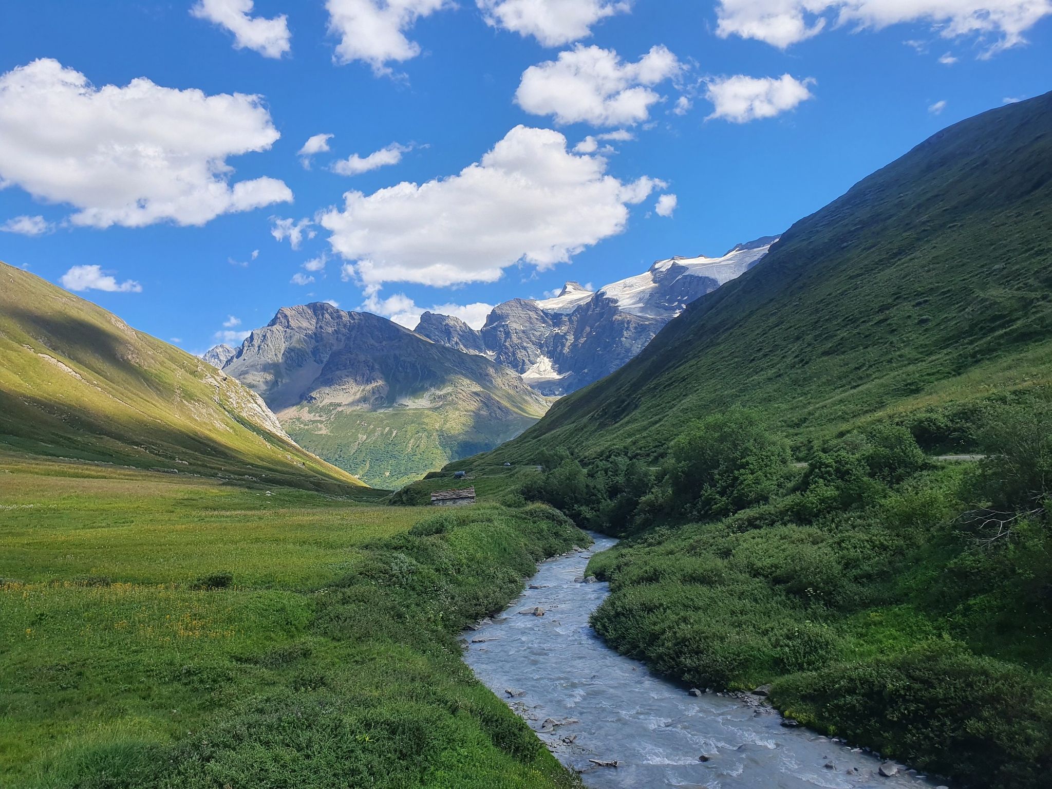
Europe Trail (GR 5) – Hike from Briançon to Landry

8 hikes in the Hautes-Alpes — mountain passes and high-altitude lakes
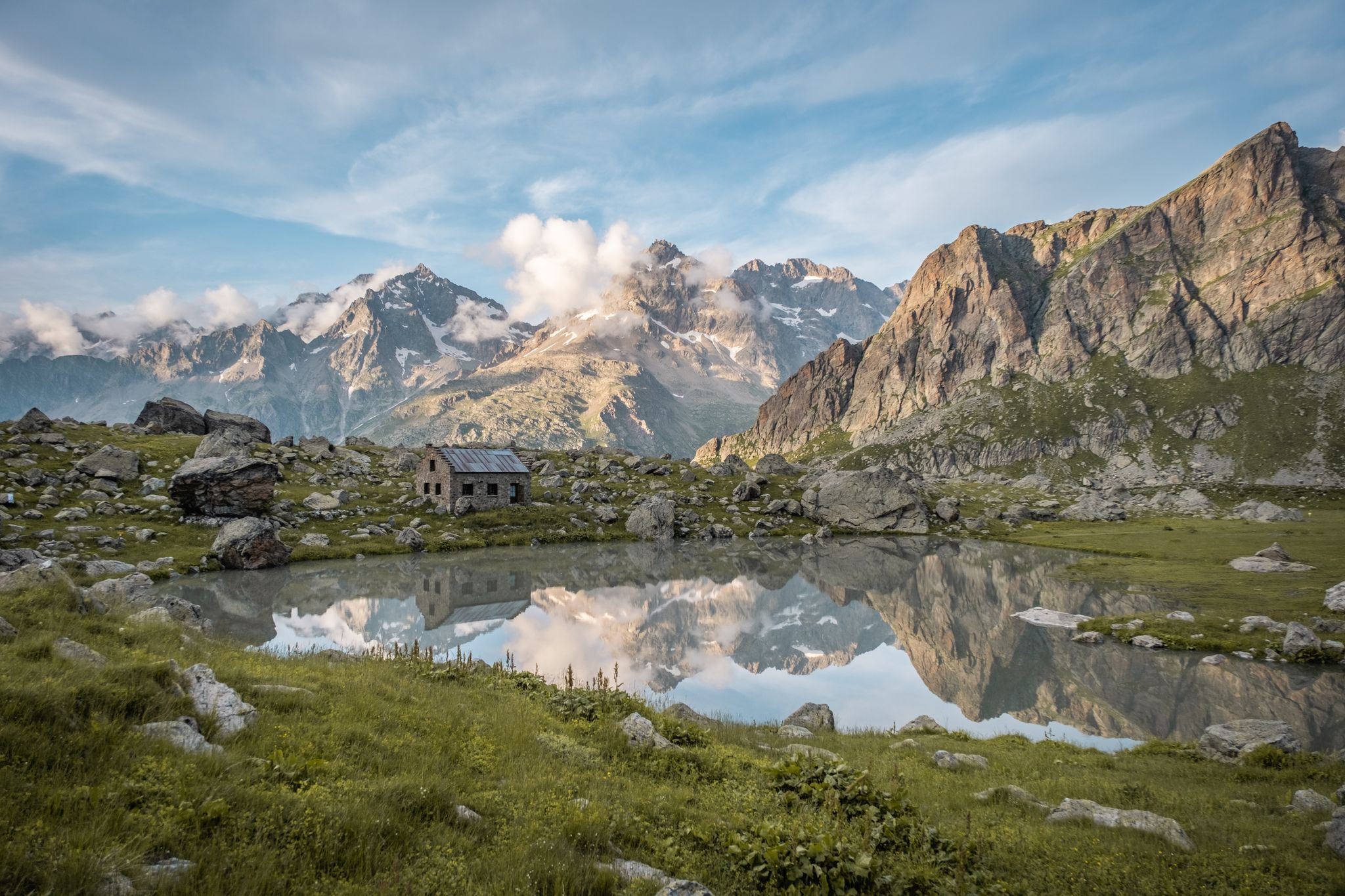
Seven hikes in France’s Southern Alps – refuges and high peaks

Hike from Savoie to Vanoise – Hexatrek in France’s Northern Alps
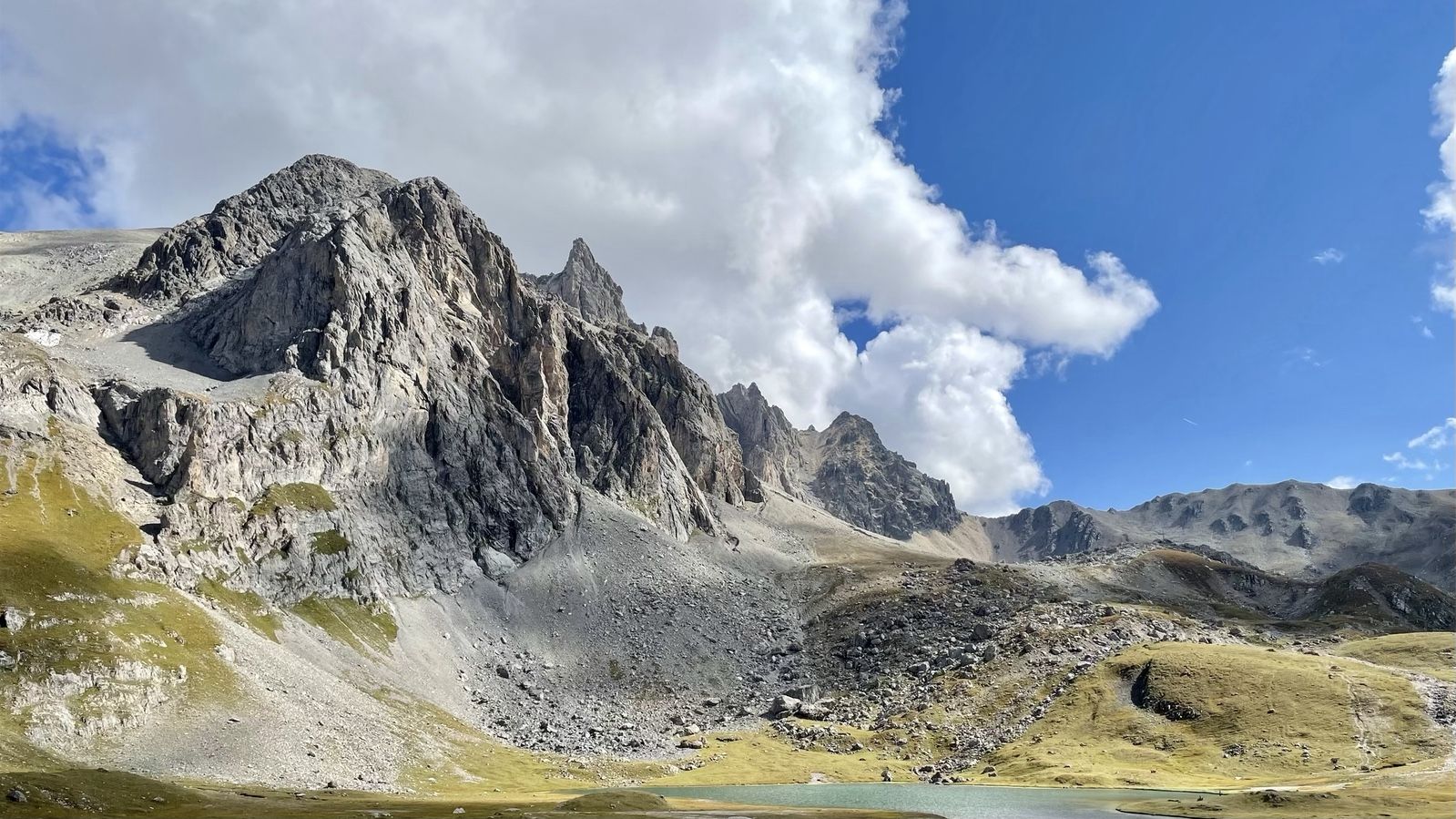
On the ridges of France’s Cerces massif — the GR 57
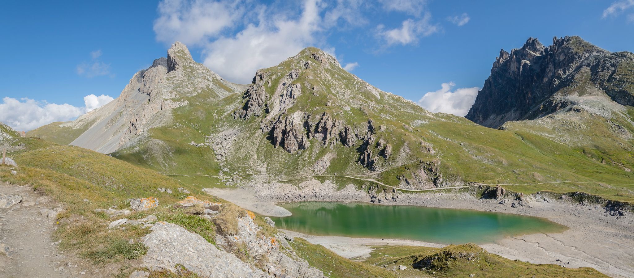
Discover France’s Cerces massif — A Tour of Mont Thabor

Traffic-free bike rides around Névache

Traffic-free bike rides around Névache
Other adventures around Névache


Tips from the Community

The fortification was erected between 1885 and 1894, with the aim of monitoring the outlet of the Frejus railway tunnel in anticipation of a possible French attack. During the First World War, its artillery was requisitioned and moved to the Austro-Hungarian front, while on the eve of the Second World War, it was incorporated into the fortified system of the Alpine Wall. It was then requisitioned by the Germans and completely dismantled after the end of hostilities. It remained abandoned for a long time, until, starting in 1995, a recovery project was initiated, still partly ongoing, equipping the structure with a museum and a guided tour. The road that reaches it from the valley floor is yet another demonstration of the construction skills of military engineering: the dirt road gains altitude with gentle hairpin bends, bordered by dry stone walls that are still perfectly in place. Near Grange Bersac, it passes a charming little church, shortly after the route leaves the woods and ends in wide meadows near another beautiful little church, dedicated to St. Anne. From here, the dirt road splits: straight ahead leads to Pian del Sole and the Bardonecchia MTB circuit, while climbing towards Colomion, turning right, a final short climb reaches the fort. The view of Guglia Rossa and the Re Magi (Three Wise Men) group, which dominate the Bardonecchia basin, is magnificent.
0
0

A very beautiful stretch to cycle which leads from the basins to the road to the Scarfiotti refuge and then to the Sommeiller pass.
1
0
The area is very beautiful with a view of the lake
0
0
Scenic view of the entire Scarfiotti Refuge plateau
0
0

The view at the top is truly stunning; I recommend taking a walk and enjoying the scenery. I recommend going when the road is closed to cars and motorcycles, which raise a lot of dust.
1
0
Rochemolles is definitely worth a visit, as it's an excellent example of renovating old mountain huts while maintaining as much of their original features as possible. Throughout the village, there are wooden sculptures and panels that narrate the life of the village (formerly one of the most impoverished areas of the municipality of Bardonecchia!). The small village's location can seem precarious, dominated by steep grassy slopes and peaks that are anything but inviting when seen from below. On the other hand, the only trail up the southern slope is quite exposed and not recommended for those with a fear of heights! It's a good starting point for hikes or mountain bike rides (on the north-facing slope), and it's also located on the "road of the three thousand" that reaches the former Sommellier glacier (now a sad scree...) at over three thousand meters above sea level (accessible by off-road vehicles, motorcycles, and mountain bikes). Other beautiful hikes wind through Valfredda (a beautiful valley that lies at the foot of Punta Melmise and the Jafferau peak), and the nearby Scarfiotti refuge (reachable by car) is a good place to spend a day at the foot of the mountains.
0
0

Getting to the top is quite a challenge.
20
1
Challenging climb, the gradients are almost always in double figures.
18
1
Frequently Asked Questions
How many no-traffic gravel bike trails are available around Névache?
There are nearly 30 dedicated no-traffic gravel bike trails around Névache. These routes offer a unique opportunity to explore the stunning Clarée Valley and surrounding mountains without vehicle interference, ranging from moderate to difficult in challenge.
What is the best time of year for gravel biking in Névache?
The best time for gravel biking in Névache is typically from late spring through early autumn. During these months, the high mountain passes are usually clear of snow, and the weather is most favorable for exploring the diverse terrain, from valley trails to historic military roads.
Are there any challenging no-traffic gravel routes for experienced riders?
Yes, Névache is known for its challenging gravel routes, many of which are old military tracks. For instance, the Colle del Sommeiller offers a demanding ride with significant elevation gain. Another challenging option is the Forte Föens – Fort Jafferau loop from Bardonecchia, which takes you through rugged alpine landscapes.
What kind of scenery can I expect on the no-traffic gravel trails in Névache?
The no-traffic gravel trails in Névache offer incredibly diverse and preserved natural scenery. You'll ride through dramatic mountains, dense larch forests, picturesque meadows, and along the crystal-clear Clarée River. Expect breathtaking views of major alpine ranges like the Massif des Cerces and Mont Thabor, and discover beautiful mountain lakes such as Lac de la Clarée.
Are there any interesting historical or natural landmarks along the gravel routes?
Absolutely. Many gravel routes in Névache pass by significant landmarks. You can explore historical sites like the Mont Chaberton Fort or enjoy panoramic views from the Col du Granon. The region also features traditional hamlets like the Granges of the Narrow Valley, and ancient churches with frescoes, adding a cultural dimension to your ride.
What do other gravel bikers enjoy most about the no-traffic trails in Névache?
The komoot community highly rates the gravel biking experience in Névache, with an average score of 4.8 stars. Reviewers often praise the exceptional natural beauty, the quiet and preserved environment of the Clarée Valley, and the adventurous spirit of riding on historic, car-free military tracks that offer challenging ascents and stunning vistas.
Are there any loop trails for gravel biking without traffic in Névache?
Yes, many of the no-traffic gravel routes in Névache are designed as loops, allowing you to start and finish at the same point. For example, the Rochemolles Lake and Dam – Rochemolles Village loop from Bardonecchia provides a scenic circular ride through varied terrain.
Where can I find parking for no-traffic gravel bike trails in Névache?
Parking is generally available in and around the main villages of Névache and Val-des-Prés, which serve as common starting points for many routes. Specific trailheads for no-traffic routes often have designated parking areas, especially those leading into the protected Clarée Valley where vehicle access is restricted.
Are there any routes that offer views of famous mountain passes?
Yes, several routes provide spectacular views of or even ascend famous mountain passes. The View of Col du Granon – Col du Granon summit loop from Val-des-Prés is an excellent example, offering a challenging gravel ascent to the renowned Col du Granon, known for its difficulty and panoramic views.
What should I know about trail conditions after rain in Névache?
After rain, some gravel trails, especially the older military tracks, can become muddy or have loose sections. It's advisable to check local weather conditions and recent trail reports. The varied terrain, including singletrack through meadows, might also be softer, so appropriate tires and caution are recommended.
Can I find refreshments or accommodation near the no-traffic gravel routes?
Névache and the surrounding hamlets offer various options for refreshments and accommodation. You'll find traditional mountain refuges like Rifugio Re Magi or Terzo Alpini Refuge, as well as small cafes and restaurants in the villages, perfect for a break during or after your ride.
Most popular attractions around Névache

Get inspired with the komoot mobile app


Explore more
Browse the best Gravel rides in other regions.
