The best traffic-free bike rides around Réotier
4.4
(246)
5,400
riders
55
rides
No traffic touring cycling routes around Réotier traverse a diverse Alpine landscape at the foot of the Ecrins National Park. The region features a mix of pastures, meadows, and forests, with views over the Durance valley and the initial peaks of Queyras. The Durance river provides a scenic backdrop for routes, and the area is characterized by varied terrain suitable for touring cyclists. Proximity to both the Ecrins National Park and the Queyras Regional Natural Park offers access to extensive…
Last updated: July 5, 2026
4.8
(4)
42
riders
26.7km
02:43
850m
850m
Hard bike ride. Very good fitness required. You may need to push your bike for some segments of this route.
5.0
(1)
42
riders
50.1km
05:07
1,430m
1,430m
Hard bike ride. Very good fitness required. Mostly paved surfaces. Suitable for all skill levels.

Sign up for free
4.4
(13)
27
riders
Easy bike ride. Great for any fitness level. Mostly paved surfaces. Suitable for all skill levels.
4.0
(1)
21
riders
25.4km
02:23
560m
560m
Hard bike ride. Very good fitness required. Mostly paved surfaces. Suitable for all skill levels.
5.0
(2)
14
riders
18.5km
02:01
750m
750m
Hard bike ride. Very good fitness required. Mostly paved surfaces. Suitable for all skill levels.
Get access to more routes and recommendations from other explorers.
Sign up for free
Already have an account?
Our route recommendations are based on thousands of hikes, rides, and runs completed by other people on komoot.
Start today with a free account
Your next adventure awaits.
Login or Signup
Popular around Réotier
Tips from the Community

This is the Chapelle Saint-Roch, a place rich in history and reverence in the Pays des Écrins. Saint Roch himself is believed to have visited this chapel during his pilgrimage, finding solace and strength within its walls.
0
0

Mont Dauphin is a historic town located in the French Alps, renowned for its Vauban Citadel, a UNESCO World Heritage Site. It offers a unique blend of cultural heritage and stunning mountain landscapes, attracting visitors seeking history and nature.
1
0

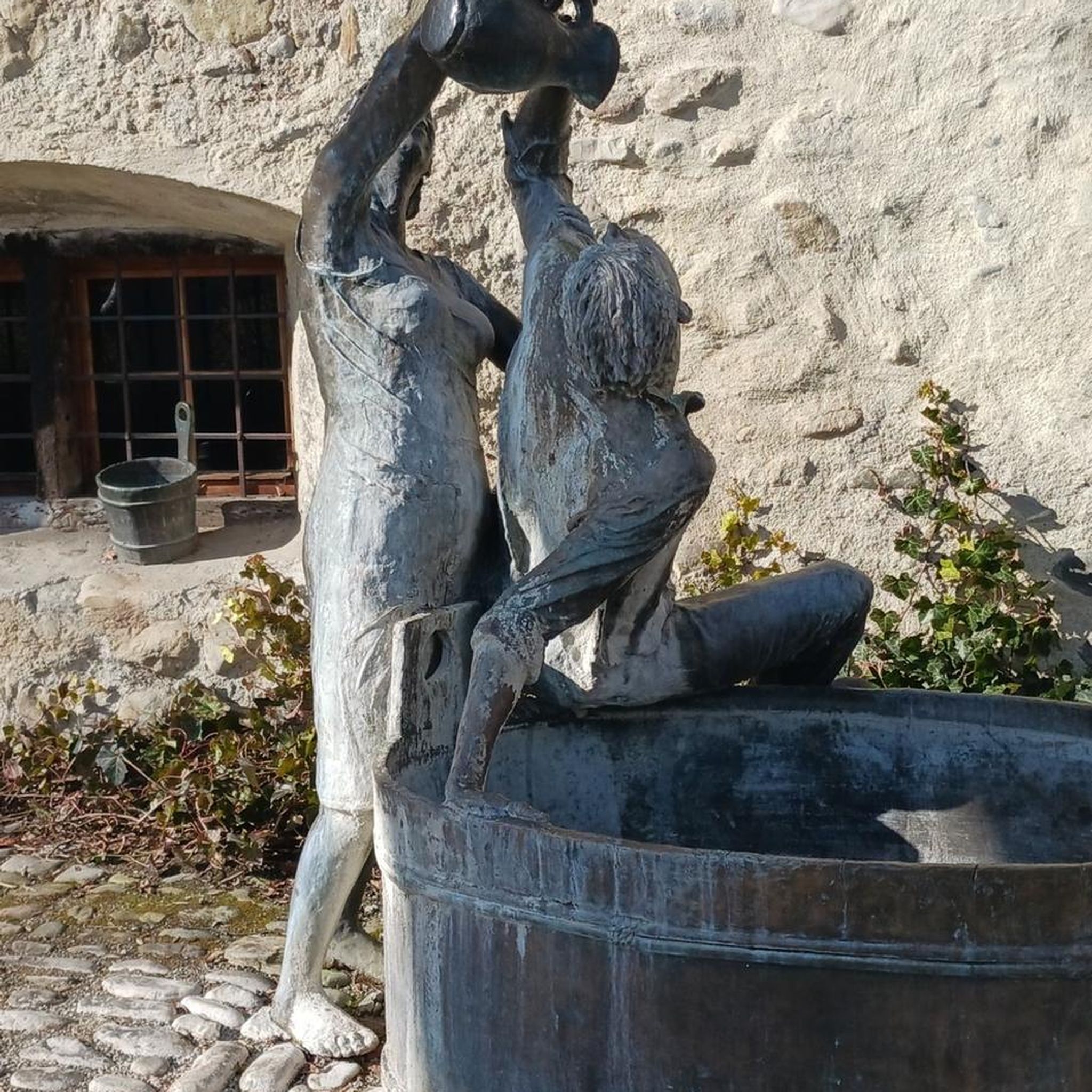
Roadside fountain, with a bench. Ideal for taking a cool break on the climb!
0
0

That's where you come in. The trail down from there is very nice
0
0

Leisure center accessible free of charge and where it is possible to swim. Two restaurants on the banks and numerous shaded picnic spots.
1
0
Small wooden footbridge that allows you to cross the blue waters of the Guil and join the road to Saint-Guillaume, towards Mont Dauphin.
1
0

323 km long, the Durance is the most important river in Provence. From here there are beautiful views of the river and the mountains.
0
0

A nice and flat place to take a break. Either by going around the body of water or on the asphalt road. All at 900m altitude.
0
0
Frequently Asked Questions
How many no-traffic touring cycling routes are available around Réotier?
There are over 50 dedicated no-traffic touring cycling routes around Réotier. These routes offer a diverse range of experiences, from challenging mountain passes to scenic valley rides, all designed to keep you away from vehicular traffic.
Are there any easy or family-friendly no-traffic cycling routes in Réotier?
While many routes in the Réotier area are rated as difficult, there are 3 routes specifically categorized as easy, and 16 as moderate, which can be suitable for families or those seeking a less strenuous ride. The region's diverse terrain means you can find paths winding through larch forests and meadows that are generally more accessible.
What kind of natural attractions can I expect to see along these routes?
The no-traffic routes around Réotier offer stunning natural beauty. You can expect to cycle through diverse Alpine scenery, including pastures, meadows, and forests, with glimpses of the Ecrins National Park. Notable natural features include the scenic Durance Valley and unique geological sites. For example, you might encounter highlights like Gorges du Guil, The Balconies of the Durance, or even waterfalls such as Cascade de la Pisse and Byasse Waterfall.
What do other touring cyclists enjoy most about the no-traffic routes in Réotier?
The komoot community highly rates the touring cycling experience in Réotier, with an average score of 4.4 out of 5 stars from over 250 ratings. Cyclists frequently praise the region's breathtaking Alpine landscapes, the tranquility of the car-free paths, and the variety of terrain that caters to different fitness levels.
Are there any circular no-traffic touring cycling routes?
Yes, many of the no-traffic touring cycling routes around Réotier are designed as circular loops, allowing you to start and finish at the same point. An example is the challenging Guil Gorges – Château-Queyras loop from Montdauphin-Guillestre, which covers over 92 km.
What are some of the longer no-traffic touring cycling routes available?
For those seeking longer rides, routes like the Guil Gorges – Château-Queyras loop from Montdauphin-Guillestre span over 92 km. Another option is the Eygliers Lake – The Durance loop from Montdauphin-Guillestre, which is approximately 50 km long.
What is the best time of year to cycle in Réotier?
The best time for touring cycling in Réotier is generally from late spring to early autumn (May to October). During these months, the weather is most favorable, with pleasant temperatures and less chance of snow, allowing full access to the Alpine passes and valley routes. The vibrant colors of the larch forests in autumn are particularly beautiful.
Are there any historical or cultural landmarks to visit along the routes?
Absolutely. Réotier is close to several historical sites. The UNESCO World Heritage site of the Vauban fortress of Mont-Dauphin is easily accessible and can be incorporated into cycling itineraries. You might also pass through charming villages like Guillestre Town Center or see the Saint Antoine Church.
Where can I find parking for these no-traffic cycling routes?
Many of the routes around Réotier start from Montdauphin-Guillestre, which typically offers parking facilities. It's advisable to check specific starting points for each route on komoot for detailed parking information, as options can vary depending on the exact trailhead.
Are there any routes that feature the Durance River?
Yes, the Durance River is a prominent natural feature in the region, and several no-traffic routes follow its scenic valley. For instance, the Banks of the Durance – Saint-Roch Chapel loop from Montdauphin-Guillestre offers beautiful views along the river.
What are some of the more challenging no-traffic touring routes?
The Réotier area is known for its challenging terrain, with 37 routes rated as difficult. These often involve significant elevation gains and longer distances. An example of a demanding route is The Eygliers Tower – Le Guil loop from Montdauphin-Guillestre, which features substantial climbs over its 26 km.
Most popular attractions around Réotier

Get inspired with the komoot mobile app


Explore more
Browse the best Cycling routes in other regions.
