The best traffic-free bike rides around La Bosse
4.5
(75)
2,611
riders
8
rides
No traffic road cycling routes around La Bosse traverse a landscape characterized by rolling hills and green valleys within the Le Perche region. The area features a mix of bocage countryside with century-old trees and well-paved roads suitable for road cycling. The Huisne river and its canals also contribute to the scenic routes, offering varied terrain for cyclists.
Best no traffic road cycling routes around La Bosse
- The most popular no traffic road cycling route is Col du Tounet (965…
Last updated: July 5, 2026
4.0
(1)
31
riders
Moderate road ride. Good fitness required. Mostly well-paved surfaces and easy to ride.
5.0
(1)
7
riders
74.6km
03:45
1,020m
1,020m
Hard road ride. Very good fitness required. Mostly well-paved surfaces and easy to ride.

Sign up for free
5
riders
49.4km
02:20
590m
590m
Moderate road ride. Good fitness required. Mostly well-paved surfaces and easy to ride.
4
riders
34.2km
01:53
530m
530m
Moderate road ride. Good fitness required. Mostly well-paved surfaces and easy to ride.
5
riders
24.4km
01:12
350m
350m
Moderate road ride. Good fitness required. Mostly well-paved surfaces and easy to ride.
Get access to more routes and recommendations from other explorers.
Sign up for free
Already have an account?
Our route recommendations are based on thousands of hikes, rides, and runs completed by other people on komoot.
Start today with a free account
Your next adventure awaits.
Login or Signup
Popular around La Bosse
Tips from the Community

Typo? Needs to be corrected... right?
0
0


The Col du Tounet is 3.9 km long, with its highest point at 984 m. The uphill part is 3.2 km long. The average percentage of Col du Tounet is 3.3%. The route is suitable for all types of bikes.
1
0

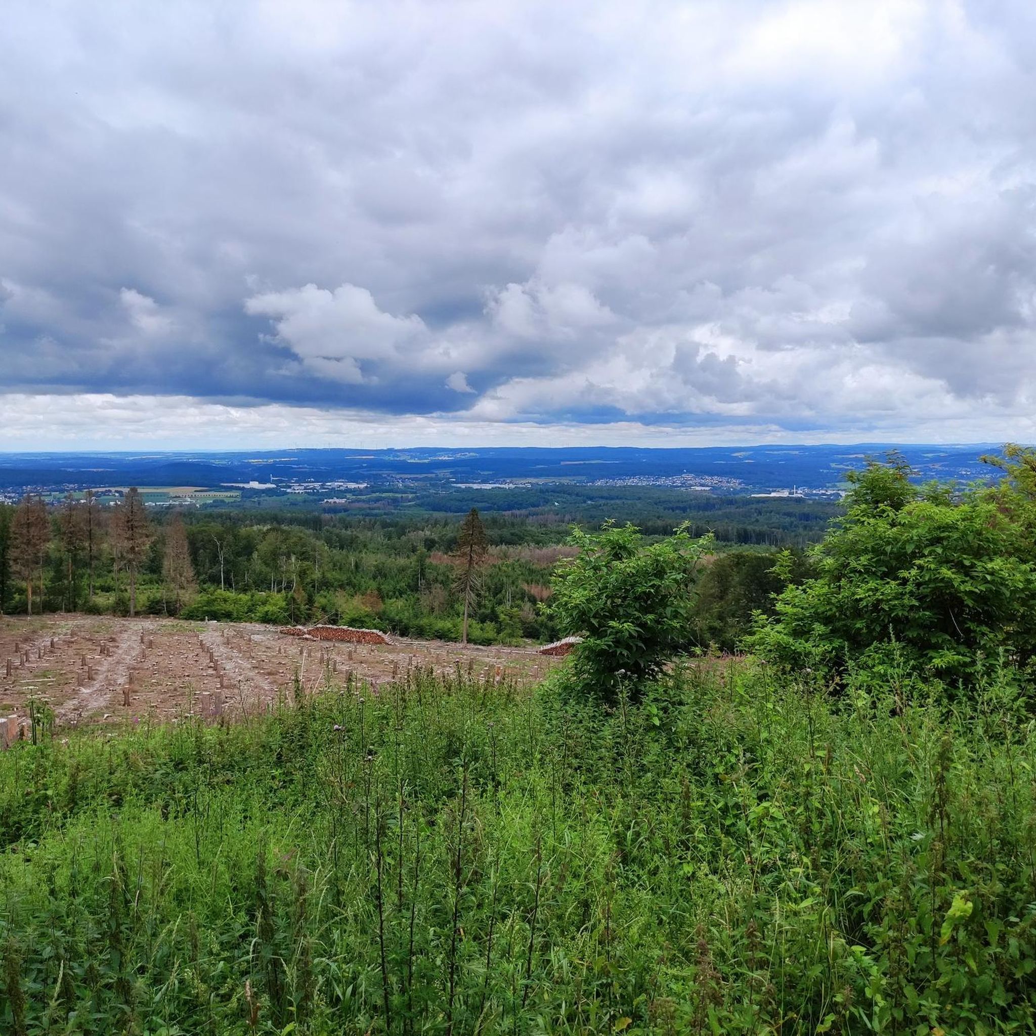
This belvedere offers an exceptional panorama of the Val de Morteau, the Swiss Jura and even the Alps on a clear day. You can access the belvedere by car from Les Fins or Morteau, or follow a 7 km loop trail which starts from Les Beuclets and passes through the Bois des Suchaux and the Bois du Fol. The trail is well marked and mostly shaded, with some open field sections. You can picnic at the lookout, where there are several tables and orientation signs. You can also watch paragliders take off or land from the nearby slope. The Mont Vouillot Belvedere is an ideal place to admire the beauty of nature and breathe fresh air.
3
0

On the way to Pontarlier, people like to take the COL DU Tounet with them.
0
0
The fallen of the wars exhort us to peace today!
0
0
Crêt Monniot is a soft and extended summit, covered with pastures and offering panoramic views of the surroundings. Its gentle and even slopes make it an ideal place for kites and a destination for snowshoes in winter.
2
0

in the area a lot of war memorials look like this (kind of kitschy)
0
0
Frequently Asked Questions
How many no-traffic road cycling routes are available around La Bosse?
There are 9 dedicated no-traffic road cycling routes around La Bosse featured in this guide. These routes offer a variety of distances and elevations, allowing you to explore the quiet roads of the Le Perche region.
What kind of terrain and difficulty can I expect on these routes?
The routes around La Bosse offer diverse terrain, from rolling hills to green valleys, suitable for various fitness levels. You'll find 1 easy route, 6 moderate routes, and 2 more challenging options. The region's 'quiet little roads' ensure a peaceful journey through the countryside.
Are there any easy, no-traffic road cycling routes suitable for beginners or families?
Yes, there is 1 easy route designed for a more relaxed experience. The region's generally quiet roads and picturesque landscapes make it suitable for families looking for a peaceful ride. For an easy option, consider the Gouffre loop from Guyans-Vennes, which is shorter and has less elevation gain.
What are some of the longest no-traffic road cycling routes in the area?
For those seeking longer rides, the area offers several options. The Sainte-Radegonde Chapel loop from Vennes is one of the longer routes, covering approximately 57 kilometers. Another substantial ride is the War memorials loop from Bretonvillers, which is about 49 kilometers long.
What natural features or landmarks can I see along these routes?
The region is rich in natural beauty and historical sites. While cycling, you might encounter the scenic 'bocage' landscape with century-old trees, and the picturesque Huisne river. Nearby attractions include the stunning Saut du Doubs Waterfall, the tranquil Brenets Lake, and the impressive Mont Vouillot Viewpoint. The historic town of La Ferté-Bernard, with its Porte Saint-Julien and medieval market hall, is also within reach.
Are the no-traffic road cycling routes circular?
Yes, all the no-traffic road cycling routes featured in this guide are designed as circular loops. This means you will start and finish at the same point, making planning your ride and return journey straightforward.
What is the best time of year to go road cycling around La Bosse?
The Le Perche region, where La Bosse is located, is particularly beautiful during spring, summer, and early autumn. These seasons offer pleasant weather for cycling, allowing you to fully enjoy the rolling hills, green valleys, and charming countryside. The 'quiet little roads' are enjoyable year-round, but the warmer months enhance the experience.
What do other cyclists enjoy most about road cycling in La Bosse?
The komoot community highly rates the cycling experience around La Bosse, with an average score of 4.4 out of 5 stars from 70 reviews. Cyclists frequently praise the peaceful, low-traffic roads, the beautiful natural landscapes of the Perche Regional Natural Park, and the charming villages encountered along the way.
Are there any challenging no-traffic road cycling routes for experienced riders?
Yes, for experienced riders seeking a challenge, there are 2 difficult routes available. These routes typically feature more significant elevation gains and longer distances. An example of a moderate to challenging ride is the Col du Tounet (965 m) loop from Guyans-Vennes, which includes notable climbs.
Where can I find parking for these no-traffic road cycling routes?
While specific parking information for each route start is not detailed here, the routes often begin in or near villages like Guyans-Vennes, Vennes, or Bretonvillers. These locations typically offer public parking facilities. For routes starting near La Ferté-Bernard, you can usually find parking within the town or at the Base de loisirs de La Ferté-Bernard.
Are there places to stop for refreshments or food along the routes?
The routes pass through or near charming villages in the Le Perche region. Towns like La Ferté-Bernard and Montmirail offer various amenities, including cafes, restaurants, and shops where you can stop for refreshments. Exploring these towns also provides an opportunity to discover their rich architectural heritage.
Most popular attractions around La Bosse

Get inspired with the komoot mobile app


Explore more
Browse the best Road cycling routes in other regions.
