The best road cycling routes in the Mc Cullough Range
4.9
(64)
1,336
riders
18
rides
Road cycling routes in the Mc Cullough Range traverse a landscape characterized by desert terrain, rolling hills, and established loop trails. The region features a network of paved paths that connect urban fringes with natural areas, offering diverse riding experiences. Elevations vary, with some routes including significant climbs through areas like the River Mountains and McCullough Hills. These routes often provide views of the surrounding desert environment and distant mountain ranges.
Best road cycling routes in the Mc Cullough Range
…Last updated: July 7, 2026
5.0
(25)
299
riders
86.4km
04:50
1,120m
1,120m
Hard road ride. Very good fitness required. Some segments of this route may be unpaved and difficult to ride.
5.0
(24)
230
riders
53.6km
03:07
610m
610m
Moderate road ride. Good fitness required. Some segments of this route may be unpaved and difficult to ride.

Sign up for free
5.0
(1)
80
riders
61.9km
02:41
450m
450m
Moderate road ride. Good fitness required. Mostly well-paved surfaces and easy to ride.
5.0
(1)
56
riders
50.8km
02:21
370m
370m
Moderate road ride. Good fitness required. Mostly well-paved surfaces and easy to ride.
49
riders
Moderate road ride. Good fitness required. Mostly well-paved surfaces and easy to ride.
35
riders
47.9km
02:14
430m
430m
Moderate road ride. Good fitness required. Mostly well-paved surfaces and easy to ride.
33
riders
Moderate road ride. Good fitness required. Mostly well-paved surfaces and easy to ride.
5.0
(1)
16
riders
90.0km
04:11
710m
710m
Moderate road ride. Good fitness required. Mostly well-paved surfaces and easy to ride.
8
riders
25.4km
01:22
140m
140m
Easy road ride. Great for any fitness level. Mostly well-paved surfaces and easy to ride.
11
riders
22.1km
01:04
210m
210m
Easy road ride. Great for any fitness level. Mostly well-paved surfaces and easy to ride.
Get access to more routes and recommendations from other explorers.
Sign up for free
Already have an account?
Our route recommendations are based on thousands of hikes, rides, and runs completed by other people on komoot.
Start today with a free account
Your next adventure awaits.
Login or Signup

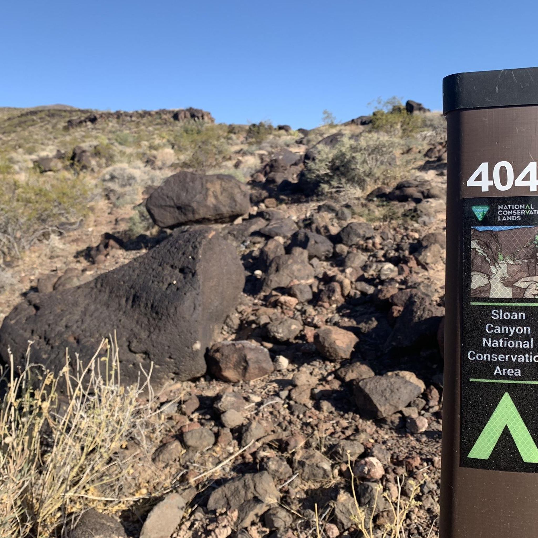
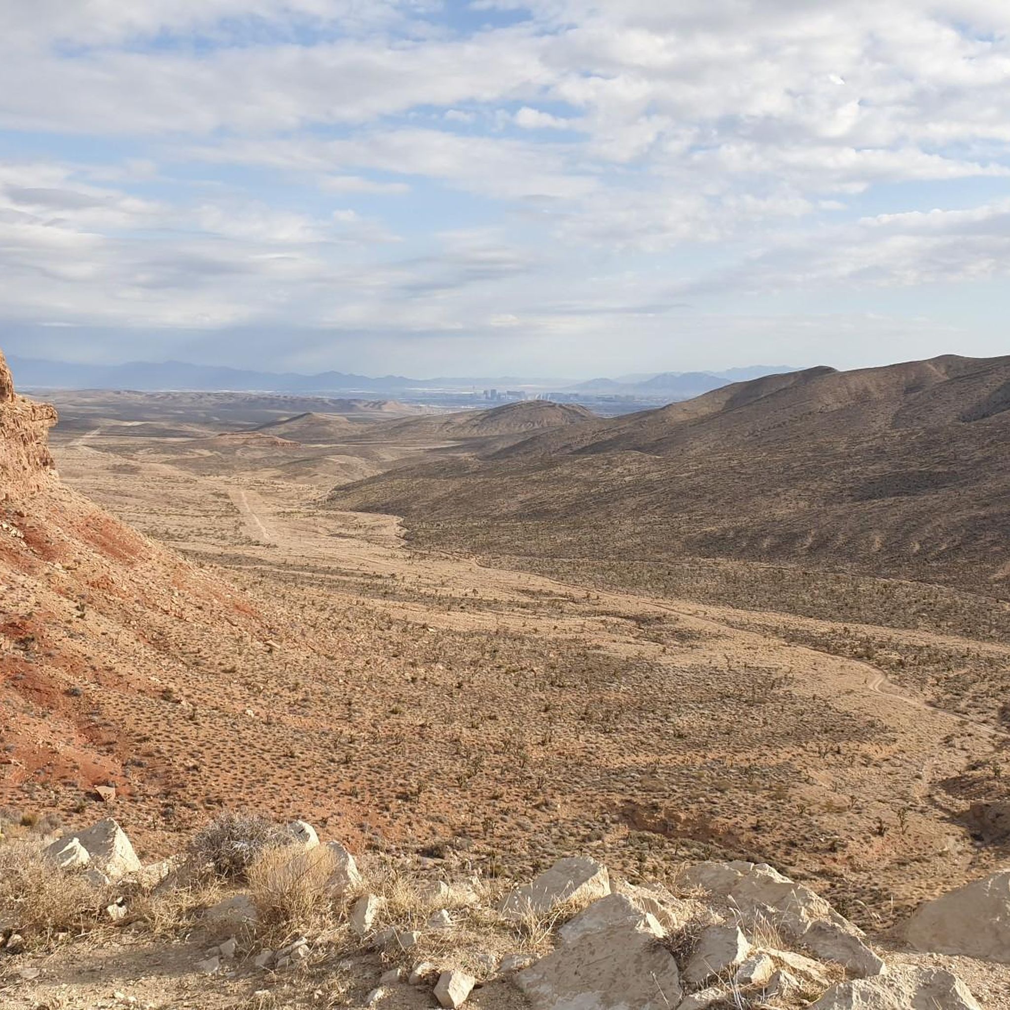
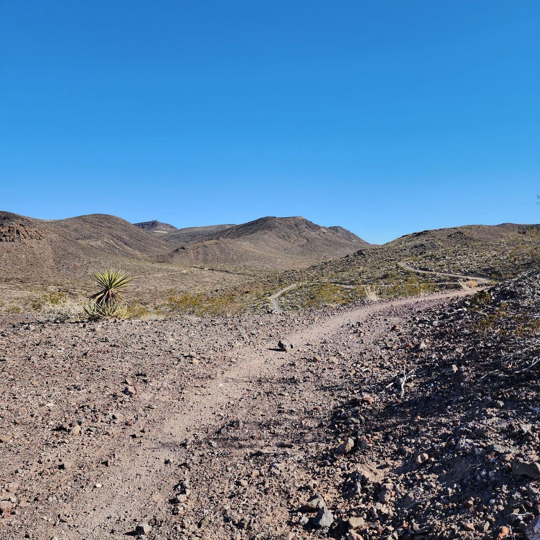
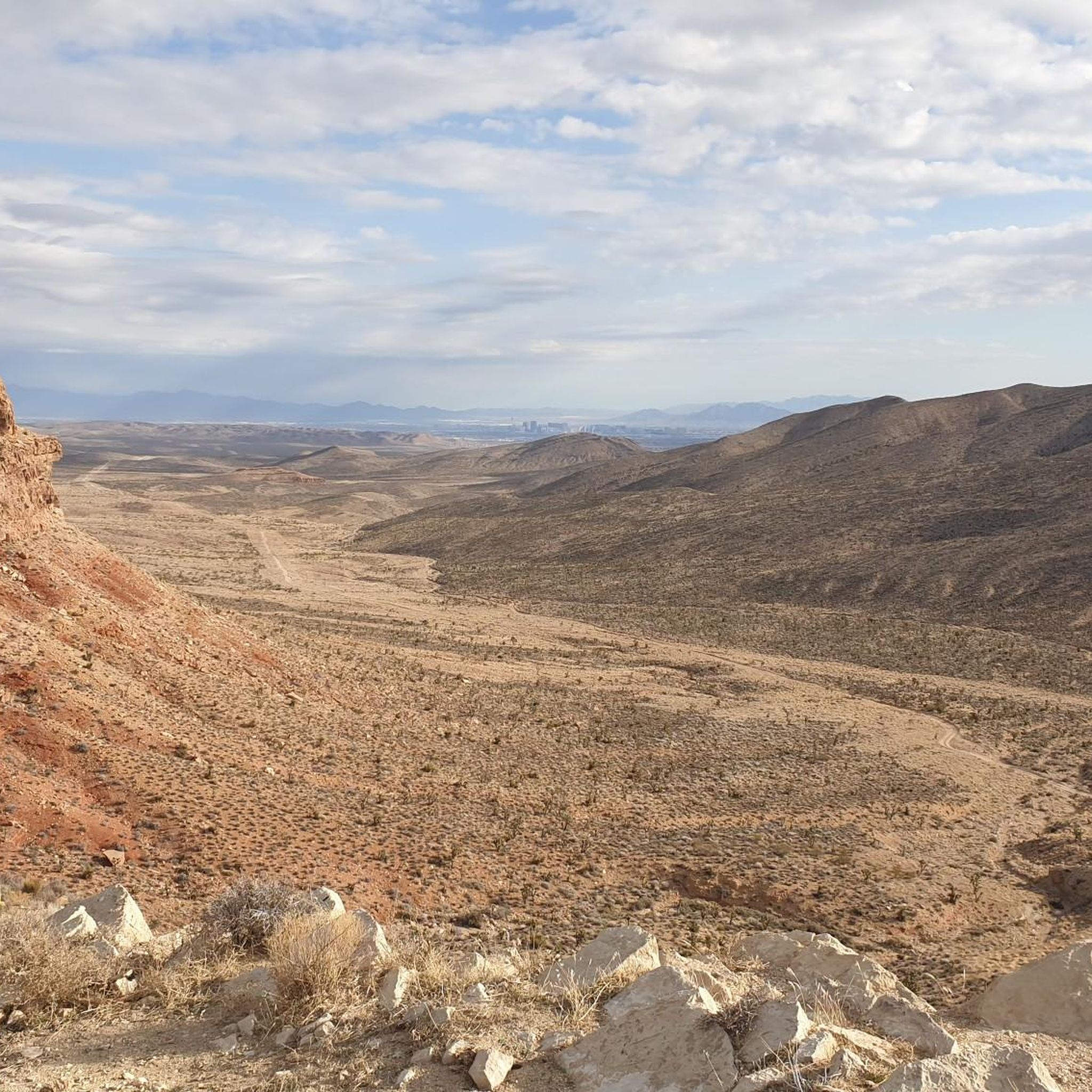
Other adventures in the Mc Cullough Range

Tips from the Community

The view of the museum and the dam are extremely interesting, the guides are very good at getting the public excited.
0
0

This is a section of the southern part of the 14-mile loop that goes all around the perimeter of Wetlands Park. It's multi-use, so you will share the way with pedestrians, runners, and quite likely many other bikes. While this section is paved, not all of the South Loop is, unlike the North Loop which is paved all the way.
0
0

This is a well equipped park with sports fields, playgrounds, picnic areas, a splash pad, and restrooms. The Union Pacific Rail Trail runs through the park as well, so it's well connected to the rest of the city.
0
0

This is a great two-lane paved multi-use trail that runs all the way through the center of Henderson, paralleling the railroad tracks and connecting to countless other trails between here and Paradise.
0
0
True to its name, this paved two-lane bike path runs all the way around the River Mountains on a 35-mile circuit between Henderson and Lake Mead. This section is a must if you are cycling between Henderson and Boulder City.
0
0
At 2,900 acres Wetlands Park is the largest within the Clark County Parks system. There's a 210-acre nature preserve, miles of trails, a playground, picnic areas, and playgrounds.
0
0
This is a well equipped park with sports fields, playgrounds, picnic areas, a splash pad, and restrooms. The Union Pacific Rail Trail runs through the park as well, so it's well connected to the rest of the city.
0
0

Frequently Asked Questions
How many road cycling routes are available in the McCullough Range?
There are nearly 20 road cycling routes available in the McCullough Range, offering diverse experiences across desert terrain and rolling hills. These routes are highly rated by the komoot community, with an average score of 5.0 stars.
Are there road cycling routes suitable for beginners in the McCullough Range?
Yes, the McCullough Range offers 5 easy road cycling routes. A great option for beginners is the Railroad Pass Hotel & Casino loop from TIMET, which is 13.1 miles (21.1 km) long and leads through rolling desert landscapes.
What are the options for experienced road cyclists looking for a challenge?
Experienced cyclists can find challenging routes with significant elevation gains. The River Mountains Loop Trail is a difficult route spanning 53.7 miles (86.4 km) with over 1,100 meters of ascent, offering expansive views.
Are there any loop trails for road cycling in the McCullough Range?
Yes, many road cycling routes in the McCullough Range are designed as loops. For example, the River Mountains Loop Trail (a moderate 33.3 miles / 53.6 km option) and the Railroad Pass Hotel & Casino – Boulder Dam Hotel loop from Green Valley Ranch are popular choices.
What is the best time of year to go road cycling in the McCullough Range?
The best time for road cycling in the McCullough Range is typically during the cooler months, from late fall through early spring (October to April). Summers can be extremely hot, making early morning or late evening rides necessary if cycling during that period.
What kind of views or scenery can I expect along the road cycling routes?
Road cycling routes in the McCullough Range offer characteristic desert vistas, rolling hills, and views of distant mountain ranges. You'll often find yourself traversing paved paths that connect urban fringes with natural areas, providing a unique blend of landscapes.
Are there any specific viewpoints or attractions along the road cycling routes?
Yes, several routes pass by interesting points. For instance, the Giant bicycle – Acacia Park loop from Mission Hills passes near Acacia Park. The McCullough Hills Trailhead – Railroad Pass Hotel & Casino loop offers views near the Railroad Pass Hotel & Casino.
Where can I find parking for road cycling trailheads in the McCullough Range?
Many routes in the McCullough Range start from designated trailheads or accessible parking areas. For example, the Railroad Pass Hotel & Casino – Giant Bicycle loop begins from the McCullough Hills Trailhead Parking Lot, which is a common starting point for several routes.
What should I wear for road cycling in the McCullough Range?
Given the desert environment, it's crucial to wear lightweight, breathable cycling apparel. Always bring plenty of water, especially during warmer months, and wear sun protection like sunscreen, sunglasses, and a hat or helmet with good ventilation. Layers are advisable during cooler seasons as temperatures can fluctuate.
Are there any cafes or facilities along the road cycling routes?
While many routes traverse natural desert areas, some pass near amenities. The Acacia Park – Las Vegas Wash loop from Green Valley Ranch, for example, is in proximity to urban fringes where cafes and facilities can be found. The Railroad Pass Hotel & Casino is also a notable stop on some routes.
What do other road cyclists enjoy most about road cycling in the McCullough Range?
The area is highly rated by the komoot community, with an average score of 5.0 stars from over 50 reviews. Cyclists often praise the well-maintained loop trails, the unique desert vistas, and the variety of routes that cater to different ability levels, from easy rides to challenging climbs.
Most popular routes in the Mc Cullough Range
Most popular attractions in the Mc Cullough Range

Get inspired with the komoot mobile app


Explore more
Browse the best Road cycling routes in other regions.
