The best traffic-free bike rides around Aillevillers-Et-Lyaumont
2.5
(2)
22
riders
5
rides
No traffic gravel bike trails around Aillevillers-Et-Lyaumont traverse a landscape characterized by extensive forests, rolling hills, and unique geological formations. The region, part of the Haute-Saône department, features wooded environments like the Bois de la Grande Mouille and Bois du Lyaumont, offering varied surfaces for gravel biking. Natural attractions such as the "Roche de la Caraude" and the "Source du Planey" provide points of interest along the routes. This area offers a blend of unpaved roads and forest paths suitable…
Last updated: July 17, 2026
6
riders
27.0km
02:07
560m
560m
Hard gravel ride. Very good fitness required. Mostly paved surfaces. Suitable for all skill levels.
4.0
(1)
8
riders
40.0km
02:56
800m
800m
Hard gravel ride. Very good fitness required. Mostly paved surfaces. Suitable for all skill levels.

Sign up for free
2
riders
Hard gravel ride. Very good fitness required. Mostly paved surfaces. Suitable for all skill levels.
2
riders
59.6km
04:26
1,040m
1,040m
Hard gravel ride. Very good fitness required. Mostly paved surfaces. Suitable for all skill levels.
2
riders
28.5km
02:05
320m
320m
Moderate gravel ride. Good fitness required. Mostly paved surfaces. Suitable for all skill levels.
Our route recommendations are based on thousands of hikes, rides, and runs completed by other people on komoot.
Start today with a free account
Your next adventure awaits.
Login or Signup
Popular around Aillevillers-Et-Lyaumont
Tips from the Community

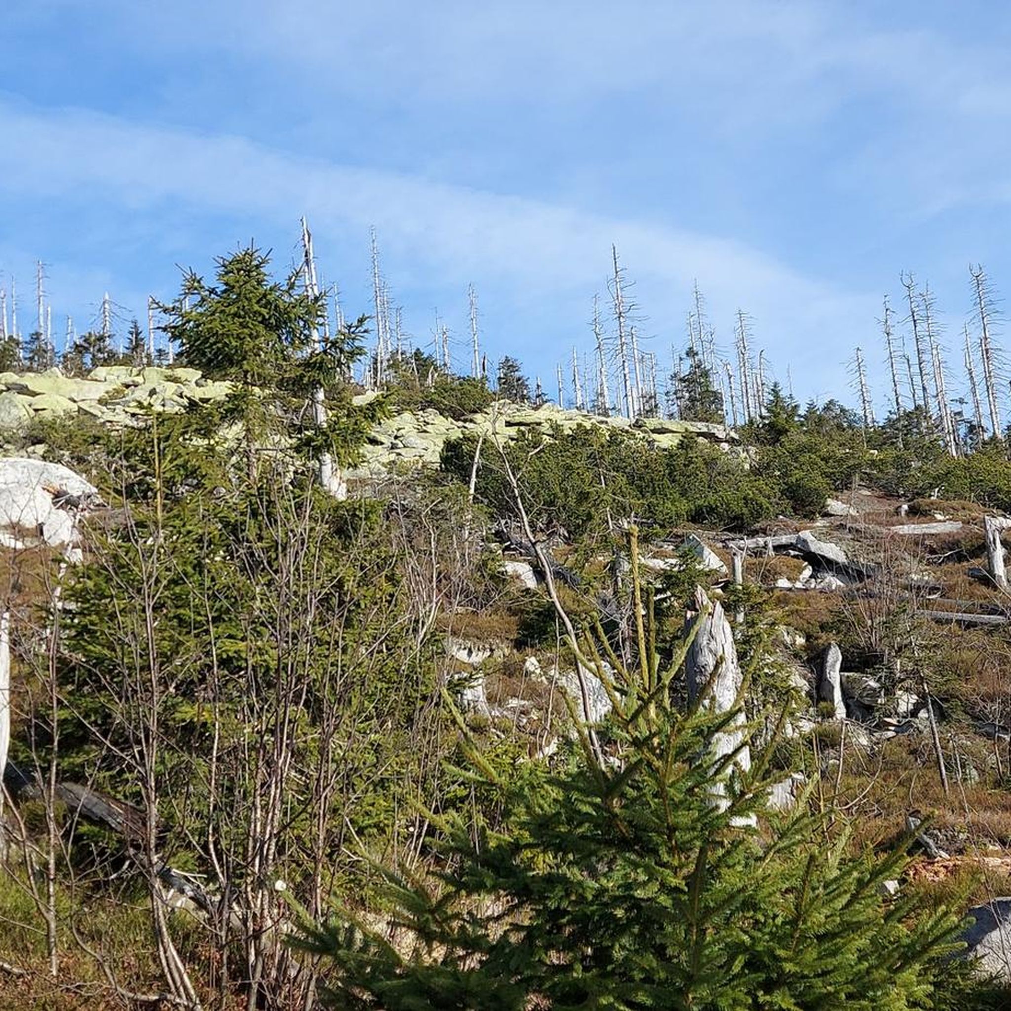
Easy access with nearby parking and a picnic table. There's an information panel. The waterfall itself isn't particularly impressive, but the site offers marked hiking trails along the stream (very pretty with its rocks forming small waterfalls), for example. Note that in wet and rainy weather, the surrounding area can be slippery (moss, grass, leaves, and rocks). So keep a close eye on children!
0
0

beautiful forest flea market with folk festival character, about 1 km long in the forest with food and drinks
1
0

The Moselle accompanies you or you accompany it on your bike tour
0
0
It is a quiet area in the Vosges, away from the tourist centers. Nice base to explore the Vosges and the 1000-lakes area.
0
0
The starting point of the tour is a holiday home in Le Val d'Ajol. A lovely walk on paved roads, so a very good walking route. The walk is done counterclockwise because the number of climbing meters is then gradually taken. The area is quiet. Almost no traffic. A nice variation of views and beautiful forests. Peace and space!!
0
0

Small pretty shelter named after Emperor Napoleon III.
0
0

High place in Romarimontan history, the Saint Pierre de Remiremont Abbey Church - built from the 11th century - is the result of the superposition of 2 Romanesque and Gothic churches which are classified as monuments historical records since 1983. The history of the abbey church is closely linked, until the Revolution, to that of the Chapter of Ladies Canonesses. This building, built mainly in the 13th century in its upper part, presents a contrast between the sobriety of the Gothic style nave and the richness of the choir in marble and plasterwork. The underground church, made up of three chapels, dates from the 11th century and presents wall paintings from the 14th and 15th centuries. Thanks to major renovation work from 1988 until the year 2000, the church is in an excellent state of conservation, exterior (roofs redone, facades renovated, etc.) and interior with original colors and simple and simple shapes. purified found. This former church of the Chapter of the Noble Ladies of Remiremont, which became a parish church during the French Revolution, constitutes the center of the canonical district made up of the houses of the canonesses and the abbey palace which today houses the town hall. Its renovation made it possible to highlight wall frescoes from the 14th and 15th centuries in the crypt, as well as original keystones representing magnificent painted suns dated 1495 in the upper part. Excavations have shown the existence, below the Romanesque level, of an earlier construction which would be the Carolingian chapel of the royal domain of Louis the Pious. The building houses many notable elements including one of the city's treasures: the “Statue Notre Dame du Trésor” whose originality is linked to a mixture of Byzantine and Romanesque art. It also houses a 15th century statue of Saint Nicholas carved from Meuse limestone, a copy of a painting by Velázquez “Christ Crucified” as well as a monumental altarpiece in black marble and white limestone which houses the relics. of the saints founder of the Saint-Mont… Built in Vosges sandstone, the Saint-Pierre church has a sober tower with a bulbous bell tower which gives it a characteristic silhouette and the north transept houses a Renaissance-style portal with quality decorations. https://www.tourisme.vosges.fr/decouvre/sites-monuments/885000541-leglise-abbatiale-saint-pierre-remiremont
1
0

With a length of 544 km, the Moselle is the second longest tributary of the Rhine after the Meuse. The river, whose name means "little Meuse", rises in France, in the Vosges at the Col de Bussang and flows into the Middle Rhine in Koblenz. In Lorraine, the Moselle flows through Remiremont and Épinal, in a wide arc around Nancy to Metz and further north. After Thionville, it turns northeast and forms the border between Luxembourg and Germany before reaching Trier. The German Moselle valley is characterized by its strongly meandering course with many vineyards on sometimes very steep slopes (Wikipedia).
2
0
Frequently Asked Questions
How many no-traffic gravel bike trails are available around Aillevillers-Et-Lyaumont?
There are currently 4 curated no-traffic gravel bike routes around Aillevillers-Et-Lyaumont featured in this guide. These routes are designed to keep you away from busy roads, offering a peaceful cycling experience through the region's beautiful landscapes.
Are there easy or beginner-friendly no-traffic gravel bike trails in the area?
While many routes in the region offer varied terrain, the Spring water loop from Corbenay is rated as moderate, making it a good option for those with some gravel biking experience looking for a less strenuous ride. The area's extensive forest tracks and rural roads often provide surfaces suitable for beginners, though some routes can be challenging.
What are the typical lengths of no-traffic gravel bike trails here?
The no-traffic gravel bike trails around Aillevillers-Et-Lyaumont typically range from approximately 27 km to 40 km in length. For example, the Chalet de l'Empereur – Géhard Waterfall loop from Le Val-d'Ajol is about 27 km, while the Chalet de l'Empereur – Géhard Waterfall loop from Plombières-les-Bains extends to nearly 40 km.
Can I find circular no-traffic gravel bike routes in Aillevillers-Et-Lyaumont?
Yes, all the no-traffic gravel bike routes highlighted in this guide are circular, allowing you to start and finish at the same point. This makes planning your ride and logistics, such as parking, much more convenient.
Are there any waterfalls or unique natural features to discover on these trails?
Absolutely! The region is rich in natural beauty. You can encounter the picturesque Faymont waterfall, or explore the mysterious turquoise waters of the Planey Spring. The forests also hide geological curiosities like the 'Roche de la Caraude' and 'Roche du Loup', adding a sense of discovery to your ride.
What cultural or historical sites can I visit near the no-traffic gravel bike routes?
Beyond the natural landscapes, you can integrate cultural stops into your rides. Consider visiting the Museum of the Land of Cherry in Fougerolles, or the Parc des Thermes in Luxeuil-les-Bains. The Saint-Amé-et-Saint-Blaise Church and The Royal Factory of Bains-les-Bains are also notable historical sites in the vicinity.
Is parking available near the starting points of these no-traffic gravel bike trails?
Yes, the routes typically start from towns and villages such as Le Val-d'Ajol, Plombières-les-Bains, Fougerolles-Saint-Valbert, and Corbenay. These locations generally offer public parking facilities, making it convenient to access the trails.
Are the no-traffic gravel bike trails around Aillevillers-Et-Lyaumont dog-friendly?
Many of the forest tracks and rural paths in the Aillevillers-Et-Lyaumont area are suitable for cycling with dogs, provided they are well-behaved and kept under control. Always ensure your dog is comfortable with the distance and terrain, and be mindful of local regulations regarding dogs in natural areas.
When is the best time of year to enjoy no-traffic gravel biking in this region?
The best time for gravel biking in Aillevillers-Et-Lyaumont is generally from spring through autumn (April to October). During these months, the weather is typically mild, and the forest trails are in good condition. Autumn offers particularly stunning scenery with vibrant fall foliage.
What do other gravel bikers enjoy the most about gravel biking in Aillevillers-Et-Lyaumont?
The area is highly rated by the komoot community, with an average score of 4.0 stars. Reviewers often praise the tranquility of the routes, the immersive experience in the extensive forests, and the diverse natural features like the Source du Planey and various rock formations that make each ride unique.
Are there any routes that pass through the 'Pays de la Cerise et du Chanvre' (Land of Cherry and Hemp) region?
Yes, the Saint-Étienne Church – View of Blanzey loop from Fougerolles-Saint-Valbert takes you through the broader region known for its cherry orchards and agricultural heritage. This offers a unique blend of rural landscapes and cultural insights into the local traditions.
Most popular routes around Aillevillers-Et-Lyaumont
Most popular attractions around Aillevillers-Et-Lyaumont

Get inspired with the komoot mobile app


Explore more
Browse the best Gravel rides in other regions.
