The best road cycling routes around Kranzberg
4.6
(634)
7,922
riders
16
rides
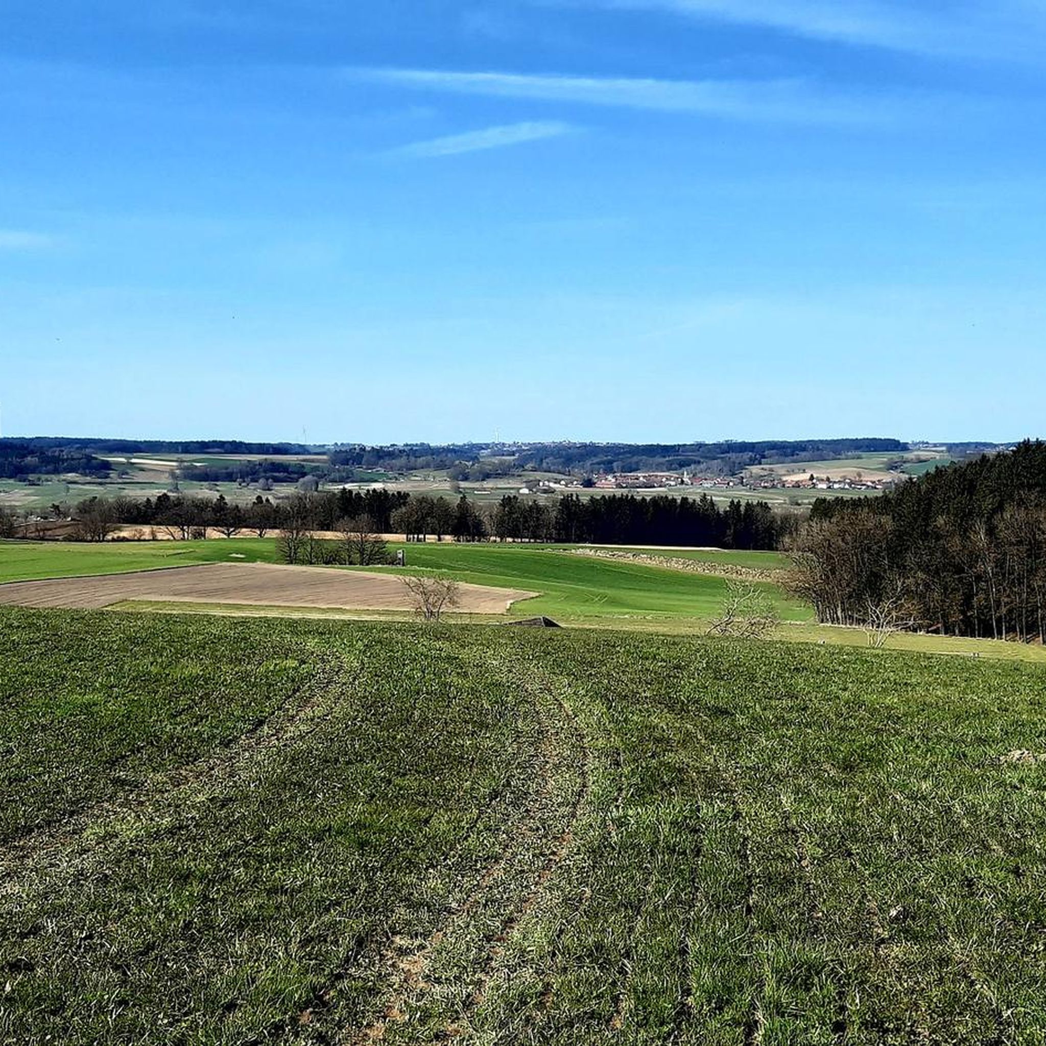
Road cycling routes around Kranzberg traverse a varied landscape featuring gently rolling hills, expansive river valleys, and dense forests. The region is characterized by mostly paved surfaces, making it suitable for road cyclists seeking diverse terrain. Routes often follow the Amper Valley, offering views of the Isar and Glonn rivers, and pass through the Kranzberger Forest. This area provides a mix of dynamic riding experiences, including short climbs and long descents.
Best road cycling routes around Kranzberg
- The most popular…
Last updated: July 12, 2026
5.0
(2)
28
riders
38.0km
01:51
430m
430m
Moderate road ride. Good fitness required. Mostly well-paved surfaces and easy to ride.
5.0
(1)
49
riders
Easy road ride. Great for any fitness level. Mostly well-paved surfaces and easy to ride.

Sign up for free
4.5
(2)
22
riders
Moderate road ride. Good fitness required. Mostly well-paved surfaces and easy to ride.
5.0
(2)
20
riders
Easy road ride. Great for any fitness level. Mostly well-paved surfaces and easy to ride.
4.8
(4)
8
riders
30.9km
01:42
350m
350m
Moderate road ride. Good fitness required. Mostly well-paved surfaces and easy to ride.
Get access to more routes and recommendations from other explorers.
Sign up for free
Already have an account?
Our route recommendations are based on thousands of hikes, rides, and runs completed by other people on komoot.
Start today with a free account
Your next adventure awaits.
Login or Signup

Other adventures around Kranzberg

Tips from the Community

There are great information boards here.
0
0

Commissioned in 1911, 2.4MW output through two Francis turbines
0
0
Built from 1906 to 1910
0
1

Kranzberg power plant on the Amper
1
1

The Glonn Terraces offer not only an ecologically valuable area, but also an experiential river area with an accessible shallow water zone. The seating terraces, the small Glonn Island, and the playground on the riverbank invite you to linger and explore, and offer a refreshing dip in the cool, shallow waters right in the center of town.
0
0

One of the best roads to ride on until you reach Gigenhausen. Hardly any traffic.
0
0

It's a beautiful, undulating, winding route along the ridge with beautiful views over fields and meadows to the valleys below. The radar system is also quite nice to look at with the sphere.
0
0

wonderful side road, without much traffic
0
0
Frequently Asked Questions
How many road cycling routes are available around Kranzberg?
There are 14 road cycling routes available around Kranzberg, offering a variety of experiences for different skill levels. These routes are highly rated by the komoot community, with an average score of 4.6 stars.
Are there easy road cycling routes suitable for beginners in Kranzberg?
Yes, Kranzberg offers 3 easy road cycling routes perfect for beginners or those seeking a relaxed ride. An example is the Kranzberger See – Quiet country road near the A9 loop from Kranzberg, which is 29.3 km long and features gentle gradients.
What kind of terrain can I expect on road cycling routes in Kranzberg?
The region features a diverse landscape with gently rolling hills, expansive river valleys, and dense forests. Routes often follow the Amper Valley, offering views of the Isar and Glonn rivers, and pass through the Kranzberger Forest. You'll find a mix of dynamic riding experiences, including short climbs and long descents, predominantly on paved surfaces.
Are there any family-friendly road cycling options in Kranzberg?
While the guide focuses on road cycling, many routes are suitable for families looking for a relaxed ride, especially the easier, flatter sections. The region's paved paths and scenic river valleys, such as those along the Amper, provide pleasant and safe environments for cycling together. Consider routes with less elevation gain for a more comfortable family experience.
What are the typical distances and durations for road cycling routes in Kranzberg?
Routes vary significantly in length and duration. For instance, the Schönbichl Castle – View of the Amper Valley loop from Kranzberg is 38.9 km and takes about 1 hour 53 minutes. Longer routes like the Quiet country road near the A9 – Marzlinger Cycle Path loop from Kranzberg cover 60.2 km, typically completed in around 2 hours 56 minutes.
Are there circular road cycling routes available in Kranzberg?
Yes, many of the road cycling routes in Kranzberg are designed as loops, allowing you to start and end at the same point. Examples include the Amperauen Route to Haindlfing loop from Thalhausen and the Pellhausen Ridge Trail – Farm Archway in Pettenbrunn loop from Thalhausen, offering convenient round trips.
What scenic viewpoints or attractions can I find along the road cycling routes?
Road cycling routes often offer beautiful views of the Amper Valley and pass through the Kranzberger Forest. You might also encounter picturesque lakes and ponds, such as the Kranzberger Pond, perfect for a break. While not directly on road cycling routes, the broader region features the Wooden Shelter Between Tünzhausen and Eberspoint and the Naturfreundehaus Hangenham.
What is the best time of year for road cycling in Kranzberg?
Kranzberg is generally enjoyable for road cycling from spring through autumn. The warmer months offer pleasant temperatures and lush scenery. While specific winter conditions are not detailed, some routes may be accessible, but it's always best to check local weather and road conditions during colder periods.
Are there places to stop for refreshments or cafes along the routes?
Many routes pass through idyllic villages and towns where you can find cafes and restaurants for a break. The region is also known for its 'water stations' important for the drinking water supply of the Freising region, which can be convenient stops. Specific cafes are not listed, but local amenities are generally available in populated areas.
Where can I find parking for road cycling in Kranzberg?
While specific parking locations are not detailed for each route, Kranzberg and its surrounding villages typically offer public parking options. It's advisable to look for parking near the starting points of popular routes or in the town centers, ensuring you check local signage for any restrictions.
What do other road cyclists enjoy most about cycling in Kranzberg?
The komoot community highly rates road cycling in Kranzberg, with an average score of 4.6 stars from over 500 reviews. Cyclists often praise the varied terrain, the well-maintained paved surfaces, and the scenic beauty of the river valleys and forests. The mix of challenging climbs and enjoyable descents is also frequently highlighted.
Most popular attractions around Kranzberg

Get inspired with the komoot mobile app


Explore more
Browse the best Road cycling routes in other regions.
