The best traffic-free bike rides around Gilley
4.5
(158)
2,176
riders
107
rides
No traffic touring bike trails around Gilley are situated within Letcher County, Kentucky, an area characterized by its mountainous and forested Appalachian landscape. The terrain features rolling hills and dense woodlands, offering diverse opportunities for touring cyclists. Elevations in the region reach up to 1,581 feet (482 meters) on Pine Mountain, providing varied gradients for cycling. The area's natural features include prominent ridges and river valleys, suitable for exploring on two wheels.
Best no traffic touring cycling routes around Gilley
…Last updated: October 20, 2026
5.0
(2)
46
riders
36.9km
03:10
660m
660m
Hard bike ride. Very good fitness required. You may need to push your bike for some segments of this route.
4.7
(3)
34
riders
19.8km
01:11
130m
130m
Easy bike ride. Great for any fitness level. Mostly paved surfaces. Suitable for all skill levels.

5.0
(1)
11
riders
29.5km
01:58
450m
450m
Hard bike ride. Very good fitness required. Mostly paved surfaces. Suitable for all skill levels.
7
riders
15.3km
01:01
210m
210m
Moderate bike ride. Good fitness required. Mostly paved surfaces. Suitable for all skill levels.
7
riders
25.6km
01:52
470m
470m
Hard bike ride. Very good fitness required. Mostly paved surfaces. Suitable for all skill levels.
Get access to more routes and recommendations from other explorers.
Already have an account?
Our route recommendations are based on thousands of hikes, rides, and runs completed by other people on komoot.
Start today with a free account
Your next adventure awaits.


Other adventures around Gilley

Tips from the Community

Typo? Needs to be corrected... right?
0
0

It's just a lot of fun
0
0
The route length is also great
0
0

It's impressive how the water comes out from under the rocks here!
0
0

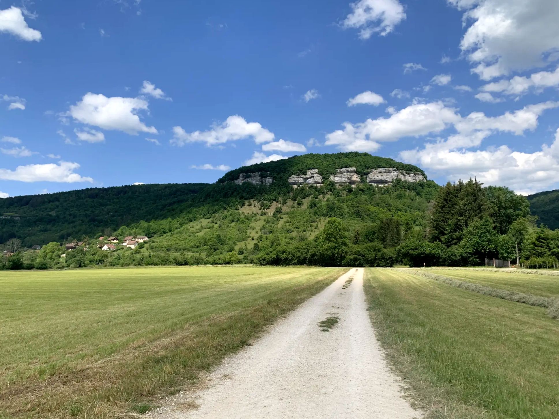
This greenway is a former railway which connects Gilley to Pontarlier. The route is secure and equipped: you will find picnic areas and information panels on the surrounding area.
2
0

The Col du Tounet is 3.9 km long, with its highest point at 984 m. The uphill part is 3.2 km long. The average percentage of Col du Tounet is 3.3%. The route is suitable for all types of bikes.
1
0

This belvedere offers an exceptional panorama of the Val de Morteau, the Swiss Jura and even the Alps on a clear day. You can access the belvedere by car from Les Fins or Morteau, or follow a 7 km loop trail which starts from Les Beuclets and passes through the Bois des Suchaux and the Bois du Fol. The trail is well marked and mostly shaded, with some open field sections. You can picnic at the lookout, where there are several tables and orientation signs. You can also watch paragliders take off or land from the nearby slope. The Mont Vouillot Belvedere is an ideal place to admire the beauty of nature and breathe fresh air.
3
0
The Bois des Suchaux is a coniferous forest that offers a panoramic hike to the Belvédère du Mont Vouillot, a viewpoint that overlooks the Val de Morteau and the Swiss Alps. You can leave from the village of Les Fins and follow the marked trails through the forest and fields. Along the way, you can enjoy the fresh air, greenery and wildlife. A hike through this forest is a great way to experience the beauty and culture of this region.
2
0
Frequently Asked Questions
How many no-traffic touring cycling routes are available around Gilley?
There are over 100 dedicated no-traffic touring cycling routes around Gilley, offering a wide range of options for cyclists looking to explore the scenic Appalachian landscape without vehicle interference. These routes vary in difficulty, ensuring there's something for every skill level.
What kind of terrain can I expect on no-traffic touring cycling routes near Gilley?
The no-traffic routes around Gilley primarily traverse the mountainous, forested terrain of Letcher County. You can expect rolling hills, some challenging climbs, and scenic descents, often following old logging roads or dedicated paths. The region is characterized by its stunning Appalachian Mountain scenery.
Are there any easy no-traffic touring cycling routes for beginners or families?
Yes, while many routes in the region are moderate to difficult due to the mountainous terrain, there are approximately 10 easy no-traffic touring cycling routes available around Gilley. These routes are generally flatter and shorter, making them suitable for beginners or families cycling together. Always check the route details on komoot for specific difficulty ratings.
What natural features can I see along the no-traffic touring cycling routes?
Cycling around Gilley offers access to breathtaking natural features. You might encounter sections of the Pine Mountain State Scenic Trail, offering extensive views, or pass by areas rich in rhododendron and mountain laurel blooms. The region is also home to the North Fork of the Kentucky River and the Lilley Cornett Woods, an old-growth forest.
Are there any circular no-traffic touring cycling routes around Gilley?
Many of the no-traffic touring cycling routes around Gilley are designed as loops, allowing you to start and end your ride in the same location. This is ideal for those who prefer not to retrace their steps and want to experience a continuous change of scenery. Check individual route descriptions on komoot for details on their circular nature.
What do other touring cyclists enjoy most about the no-traffic routes in Gilley?
The area is highly rated by the komoot community, with an average score of 4.9 stars from over 40 reviews. Reviewers often praise the tranquility of the no-traffic routes, the stunning Appalachian scenery, and the challenging yet rewarding climbs that offer spectacular views.
Can I find places to explore or points of interest along these routes?
Absolutely. While the focus is on natural beauty, you can find interesting points of interest. For example, you might encounter viewpoints like View of Lake Tallières or natural highlights such as Lake Taillères. The region's history and natural environment offer many hidden gems to discover.
What is the best time of year to cycle the no-traffic routes in Gilley?
Spring and fall are generally the best times for touring cycling in Gilley. Spring brings vibrant blooms of rhododendron and mountain laurel, while fall offers spectacular foliage. Summers can be warm and humid, and winters can bring snow and ice, making some routes challenging or impassable. Always check local weather conditions before heading out.
Are there any specific routes that offer particularly good views?
Many routes in the Gilley area offer fantastic views due to the mountainous landscape. While specific route names are not provided here, look for routes that mention traversing Pine Mountain or reaching higher elevations. These often provide panoramic vistas of the surrounding Appalachian forests. For example, routes that pass by viewpoints like Mont Vouillot Viewpoint are excellent choices.
Where can I find parking for these no-traffic cycling routes?
While Gilley itself is a small community, a common starting point for cycling routes in Letcher County is the cycling kiosk in Veterans Memorial Park in downtown Whitesburg. This location often provides suitable parking and serves as a hub for local cycling information. For specific routes, check the komoot tour details for recommended starting points and parking information.
Are there any routes that pass by lakes or water features?
Yes, some routes in the broader Gilley area may lead you near water features. For instance, Fishpond Lake, an 895-acre lake, is a notable local attraction that offers scenic views. While not all no-traffic routes will directly pass by it, you can find routes that explore the general vicinity of lakes and the North Fork of the Kentucky River, offering refreshing scenery. You can also explore the Lakes around Gilley guide for more information.
Most popular attractions around Gilley

Get inspired with the komoot mobile app


Explore more
Browse the best Cycling routes in other regions.
