The best traffic-free bike rides around Fournets-Luisans
4.2
(122)
3,462
riders
44
rides
No traffic road cycling routes around Fournets-Luisans are situated in the Doubs department of France, within the Bourgogne-Franche-Comté region. The area features a varied topography with altitudes ranging from 706 meters to 1042 meters, providing a mix of ascents and descents for road cyclists. The landscape is characterized by extensive forests, covering over 37% of the territory, and agricultural lands, offering a backdrop for rides through pastures and woods. This region provides diverse terrain suitable for road cycling, with roads…
Last updated: July 17, 2026
4.6
(12)
154
riders
53.7km
02:13
370m
370m
Moderate road ride. Good fitness required. Mostly well-paved surfaces and easy to ride.
4.0
(1)
31
riders
Moderate road ride. Good fitness required. Mostly well-paved surfaces and easy to ride.

Sign up for free
22
riders
40.8km
02:00
500m
500m
Moderate road ride. Good fitness required. Mostly well-paved surfaces and easy to ride.
27
riders
29.6km
01:32
460m
460m
Moderate road ride. Good fitness required. Mostly well-paved surfaces and easy to ride.
7
riders
29.2km
01:45
590m
590m
Moderate road ride. Good fitness required. Mostly well-paved surfaces and easy to ride.
Get access to more routes and recommendations from other explorers.
Sign up for free
Already have an account?
Our route recommendations are based on thousands of hikes, rides, and runs completed by other people on komoot.
Start today with a free account
Your next adventure awaits.
Login or Signup
Popular around Fournets-Luisans
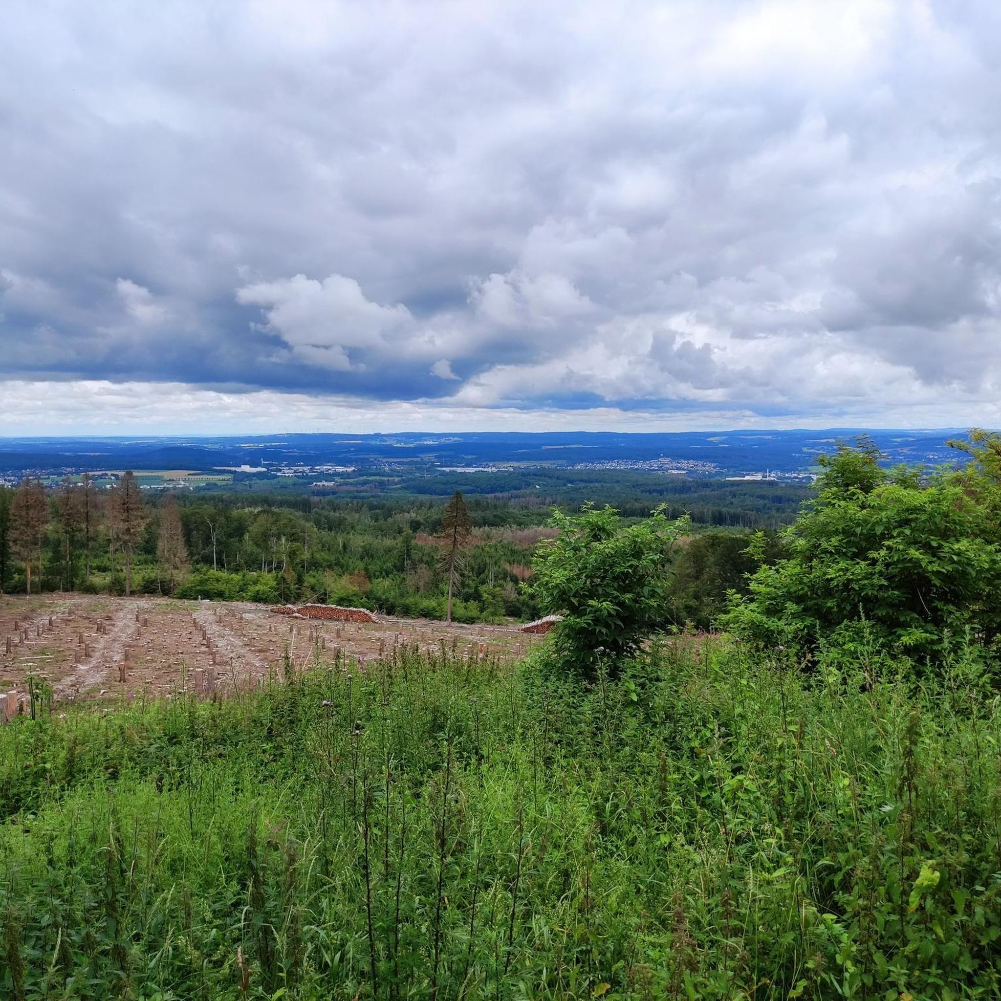
Tips from the Community

Typo? Needs to be corrected... right?
0
0


It's just a lot of fun
0
0
The route length is also great
0
0
When you are slowly losing your strength, such a path is wonderful. And when you still have strength, even more so
0
0
It is great to drive here
0
0
Highly recommended, as there is no car traffic
0
0

Beautiful cycle path with beautiful views!
0
0
Frequently Asked Questions
How many no traffic road cycling routes can I find in Fournets-Luisans?
There are 44 dedicated no traffic road cycling routes available around Fournets-Luisans. These routes offer a diverse range of experiences, from moderate climbs to scenic loops through the region's picturesque landscapes.
What is the typical difficulty level for no traffic road cycling routes in this area?
The majority of no traffic road cycling routes in Fournets-Luisans are classified as moderate, with 37 routes falling into this category. There are also 3 easy routes suitable for beginners and 4 more challenging routes for experienced cyclists. The varied topography, with altitudes ranging from 706 to 1042 meters, ensures a mix of ascents and descents.
Are there circular no traffic road cycling routes available?
Yes, many of the no traffic road cycling routes in Fournets-Luisans are circular, allowing you to start and end at the same point. For example, you can explore the Col du Tounet (965 m) – Chemin du Train near Doubs loop from Gilley, which covers over 53 km, or the shorter Papy Gaby's smokehouse – Col du Tounet (965 m) loop from Gilley at nearly 30 km.
What natural attractions can I see along the no traffic road cycling routes?
The region around Fournets-Luisans is rich in natural beauty. While cycling, you might be near stunning features like the famous Saut du Doubs Waterfall, a magnificent 27-meter cascade. The dramatic Consolation Cirque, with its unique geological formations, is also a notable highlight in the area.
Are there any viewpoints or panoramic vistas accessible from these routes?
Absolutely. The region is known for its exceptional panoramic views. You can find viewpoints offering breathtaking sights over the Val de Morteau, the Swiss Jura, and even the Alps on clear days. Specific highlights include the View of the Doubs and the Lac des Brenets from the Belvédère des Taillards, which provides expansive vistas of the Doubs and Brenets Lake.
What do other road cyclists enjoy most about the no traffic routes in Fournets-Luisans?
The komoot community highly rates the no traffic road cycling routes in Fournets-Luisans, with an average score of 4.3 stars. Reviewers often praise the tranquil natural settings, the well-maintained regional roads winding through extensive forests and agricultural lands, and the rewarding panoramic views encountered along the way.
What is the best season for no traffic road cycling in Fournets-Luisans?
The best season for road cycling in Fournets-Luisans is typically from spring to autumn. During these months, the weather is generally mild, and the landscapes are vibrant, offering ideal conditions to enjoy the region's forests and pastures. Always check the local forecast before heading out.
Are there options for longer no traffic road cycling tours?
Yes, you can find longer no traffic road cycling tours. For instance, the Sainte-Radegonde Chapel loop from Vennes spans over 57 km with significant elevation gain, providing a substantial ride for those looking for a longer adventure.
Where can I find parking for no traffic road cycling routes near Fournets-Luisans?
While specific parking locations for each route are not detailed here, routes often start from villages or towns like Gilley or Guyans-Vennes. It's advisable to check the starting point of your chosen route on komoot for information on nearby parking facilities, which are typically available in such communal areas.
Can I access these routes using public transport?
Information on specific public transport links directly to the starting points of these no traffic road cycling routes is limited. For detailed public transport options, especially for carrying bicycles, it is recommended to consult local transport authorities or regional bus/train services operating in the Doubs department.
Are there any lakes or water features to see on these routes?
Beyond the Saut du Doubs, the region features several beautiful water bodies. You might encounter areas near Brenets Lake or the Bog Pond, offering serene views and tranquil spots to pause during your ride.
Most popular routes around Fournets-Luisans
Most popular attractions around Fournets-Luisans

Get inspired with the komoot mobile app


Explore more
Browse the best Road cycling routes in other regions.
