The best traffic-free bike rides around Larivière
4.5
(10)
31
riders
10
rides
Gravel biking around Larivière offers a network of no traffic routes through varied terrain. The region is characterized by its valleys, such as the Traubach and Steinbach, which contribute to a landscape of rolling hills and gentle ascents. These features provide diverse conditions for gravel cyclists, from easier paths along valley floors to more challenging climbs. The area's natural composition makes it suitable for exploring off-road paths away from vehicle traffic.
Best no traffic gravel bike trails around Larivière
- The…
Last updated: October 20, 2026
4.0
(5)
7
riders
20.5km
01:30
90m
90m
Easy gravel ride. Great for any fitness level. Mostly paved surfaces. Suitable for all skill levels.
15.0km
01:14
180m
180m
Moderate gravel ride. Good fitness required. Some segments of this route may be unpaved and difficult to ride.

19.7km
01:27
170m
170m
Moderate gravel ride. Good fitness required. Mostly paved surfaces. Suitable for all skill levels.
11.1km
00:55
110m
120m
Moderate gravel ride. Great for any fitness level. Some segments of this route may be unpaved and difficult to ride.
5.0
(3)
11
riders
31.8km
01:57
240m
240m
Moderate gravel ride. Good fitness required. Mostly paved surfaces. Suitable for all skill levels.
Get access to more routes and recommendations from other explorers.
Already have an account?
Our route recommendations are based on thousands of hikes, rides, and runs completed by other people on komoot.
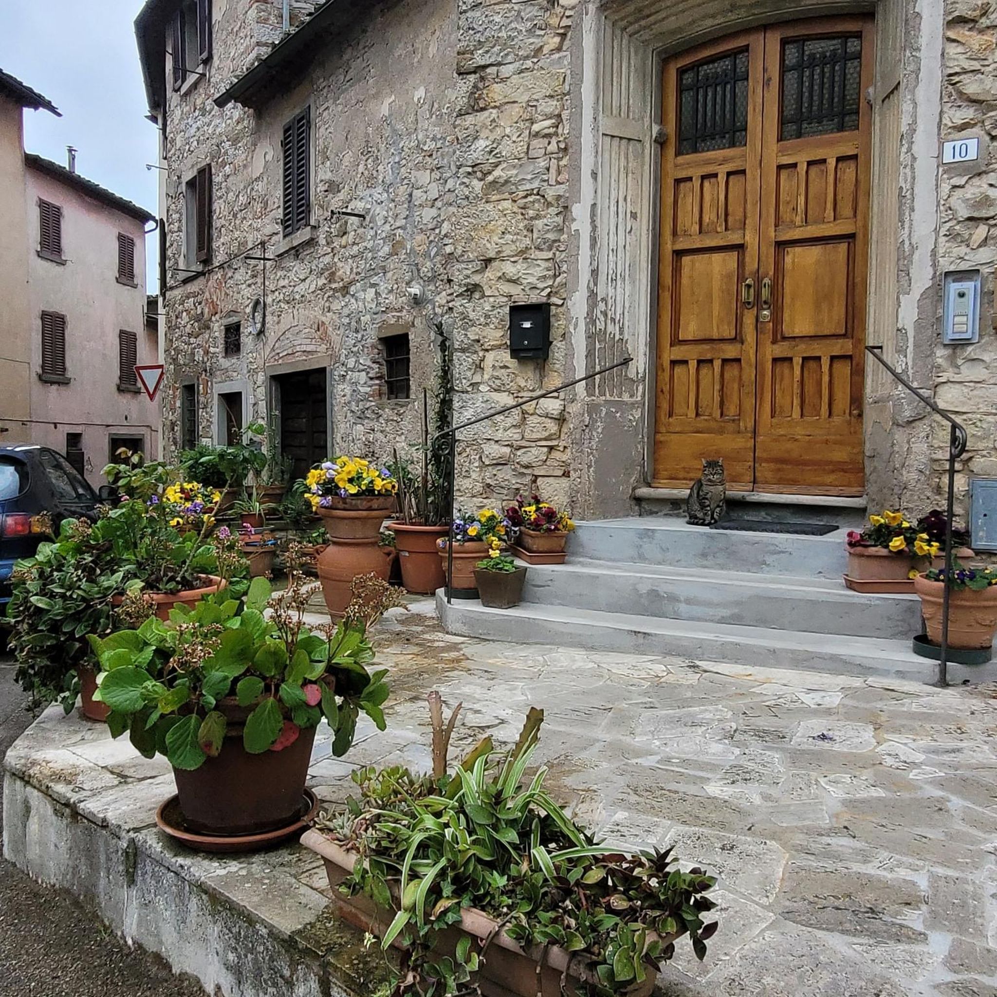
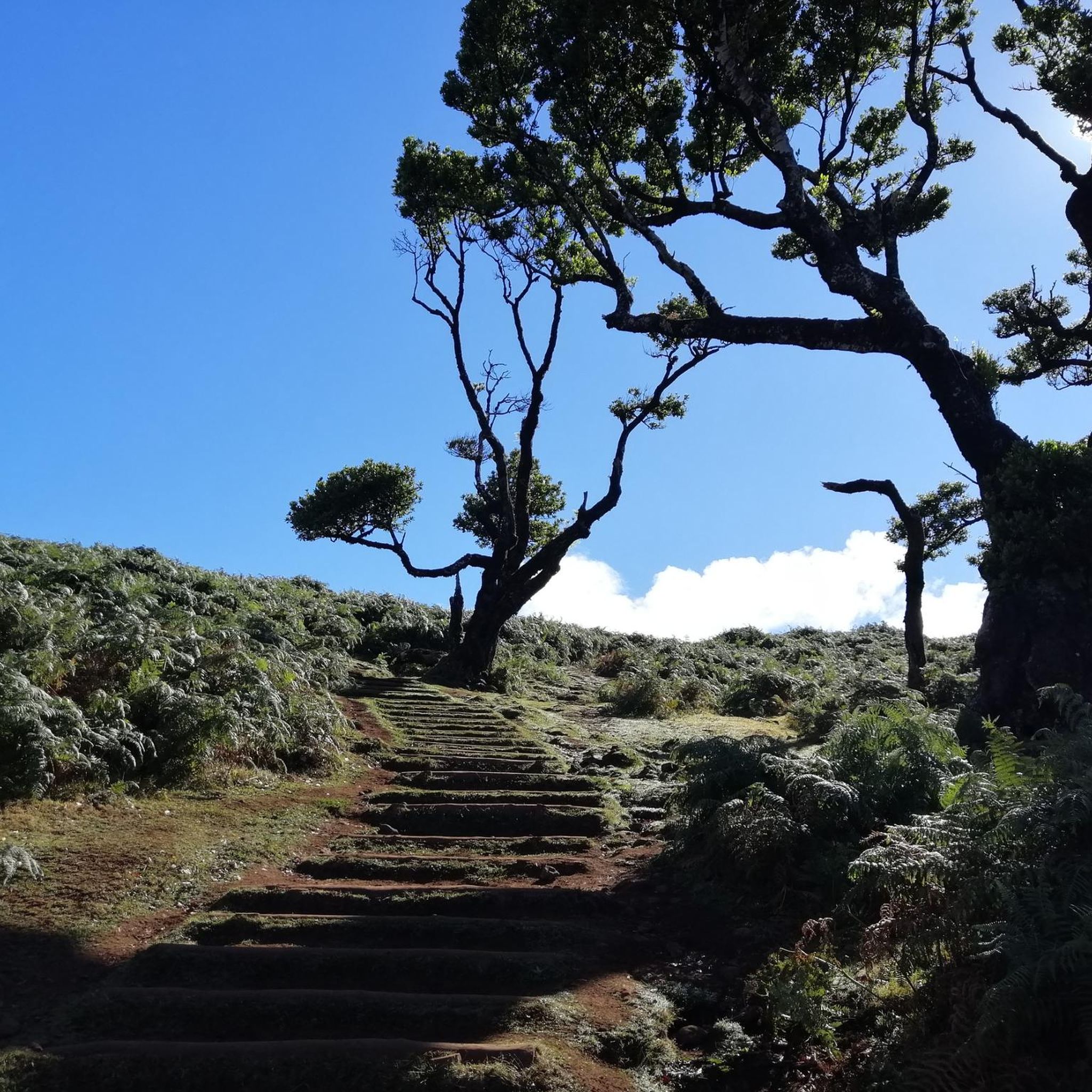
Tips from the Community


I noticed this highlight during my search. However, it is not on the Haute Saône Canal but on an independent river, the Savoureuse. According to Wikipedia: The Savoureuse is a right tributary of the Allan, around 41 kilometers long, in the French department of Territoire de Belfort in the Bourgogne-Franche-Comté region. It flows through the city of Belfort and drains the western part of the department to the Mediterranean via the Allan, Doubs, Saône and Rhône water system. The Savoureuse catchment area covers an area of around 225 km². The river name comes from the Patois expression savour (saw). https://de.m.wikipedia.org/wiki/Savoureuse
2
0

Beautiful cycle route Coulée Verte along the canal. The name is a bit..., I suggested a change on Komoot.
1
1
beautiful landscape, interesting locks, nice cycle path
0
2
Beautiful bridge and beautiful views.
4
0

I haven't been here for at least 45 years. At the time there was a tavern. We could have a drink there. go pedal boating. On Sunday there were people on the terrace and children laughing. Today, even if the site remains beautiful, there is not much left of this happy place. If any members have any information, I'm interested.
0
0

Named after General Sénarmont, Fort Bessoncourt was built between 1883 and 1886 to close the roads to Colmar and Basel and the railway to Mulhouse, and to support the forts of Roppe and Vézelois. It is a large pentagonal limestone structure, built for approximately 650 men and 30 artillery pieces. It is typical of forts dating from the 1880s, in which the long-range artillery and close defense were grouped on the rampart bordering the ditch, while the infantry was positioned above the caponiers of the escarpment and on the roof of the central barracks. Opening hours: Visit at 3 p.m. on Sundays from May to September
2
1

La Belle Île pond is actually a series of ponds with wooden walkways that allow you to reach the islets. There are several marked walks to do in the area.
0
0
Frequently Asked Questions
How many no-traffic gravel bike trails are available around Larivière?
There are 7 dedicated no-traffic gravel bike trails around Larivière, offering a range of experiences from easy to more challenging rides. These routes are designed to keep you away from vehicular traffic, allowing for a more peaceful and immersive cycling experience.
What kind of terrain can I expect on the no-traffic gravel trails in Larivière?
The trails around Larivière feature varied terrain, typical of regions with a 'Rivière' (river) in their name, often implying diverse landscapes. While specific details for Larivière itself are limited, similar regions like Bois De La Louvière in Belgium offer a mix of unpaved roads, forested sections, and open plains, with some hilly ascents and descents. You can expect a dynamic experience with natural surfaces.
Are there any easy no-traffic gravel routes suitable for beginners in Larivière?
Yes, there is at least one easy no-traffic gravel route around Larivière. The route named La porte d'Alsace is classified as easy, covering approximately 20.5 km with a moderate elevation gain of about 92 meters. It's a great option for those new to gravel biking or looking for a relaxed ride.
What are some of the longer no-traffic gravel bike routes in the Larivière area?
For those seeking a longer ride, the La Porte d'Alsace gravel loop is a great option. It spans over 33.7 km with an elevation gain of around 315 meters and is rated as moderate. This route provides a good challenge and a more extended exploration of the region's car-free paths.
Can I find any circular no-traffic gravel routes around Larivière?
Yes, several routes in the area are designed as loops, perfect for starting and ending your ride in the same location. For example, the La Porte d'Alsace gravel loop is a circular route that allows you to experience the diverse landscapes without needing a return trip arrangement.
What interesting landmarks or natural features can I see along the no-traffic gravel trails?
While cycling the no-traffic gravel trails around Larivière, you can explore several historical and natural attractions. Notable sights include the Canal du Rhône au Rhin, the Port of Dannemarie, and the impressive Valdieu-Lutran lock scale. For history enthusiasts, the majestic Citadel of Belfort and the iconic Lion of Belfort are also nearby.
Are there any castles or historical sites accessible from the gravel routes?
Absolutely! The region is rich in history. You can find several castles and historical sites. The prominent Citadel of Belfort is a must-see, and you might also encounter the Fort de Vézelois or the Ruins of Rougemont Castle, offering glimpses into the area's past.
What do other gravel bikers enjoy most about the no-traffic trails in Larivière?
The no-traffic gravel trails around Larivière are highly regarded by the komoot community, with an average rating of 3.88 out of 5 stars. Riders often praise the tranquility and the opportunity to explore the region's natural beauty and historical sites away from busy roads, making for a truly immersive cycling experience.
Are there any moderate no-traffic gravel routes for experienced riders?
Yes, there are several moderate routes for those looking for a bit more challenge. Routes like Les deux Traubach (19.6 km, 169m elevation) and Le vallon du Traubach (14.9 km, 181m elevation) offer engaging rides with varied terrain and elevation changes, all while keeping you on car-free paths.
What is the shortest no-traffic gravel trail available in Larivière?
The shortest no-traffic gravel trail listed is Le vallon du Steinbach. This route is approximately 11.1 km long with an elevation gain of about 112 meters, making it a great option for a quick ride or for those looking for a less strenuous outing on car-free paths.
Most popular attractions around Larivière

Get inspired with the komoot mobile app


Explore more
Browse the best Gravel rides in other regions.
