The best traffic-free bike rides around Freissinières
4.5
(295)
6,833
riders
44
rides
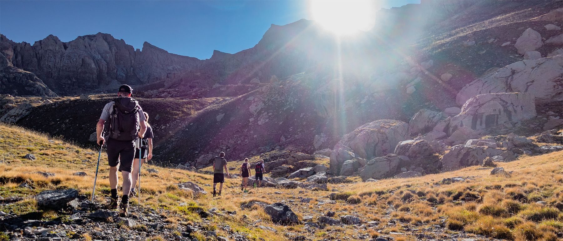
No traffic touring cycling routes around Freissinières traverse glacial valleys, extensive larch forests, and follow the meandering Biaysse river. The region, part of the Écrins National Park, features a "suspended valley" with elevations ranging from 1,100 m to 2,700 m, offering varied terrain for cyclists. Numerous waterfalls and high-altitude lakes, such as Palluel and Faravel, provide picturesque stopping points amidst the backdrop of 3,200 m ridges. The landscape also includes historical elements like "black blocks" from former coal mines, adding…
Last updated: October 19, 2026
5.0
(1)
24
riders
Hard bike ride. Very good fitness required. Mostly paved surfaces. Suitable for all skill levels.
3.0
(1)
22
riders
27.0km
03:00
930m
930m
Hard bike ride. Very good fitness required. Mostly paved surfaces. Suitable for all skill levels.

5.0
(1)
12
riders
21.9km
02:09
730m
730m
Hard bike ride. Very good fitness required. Mostly paved surfaces. Suitable for all skill levels.
4.0
(1)
25
riders
30.1km
02:48
580m
580m
Hard bike ride. Very good fitness required. Mostly paved surfaces. Suitable for all skill levels.
10
riders
23.8km
02:49
1,060m
1,060m
Hard bike ride. Very good fitness required. Mostly paved surfaces. Suitable for all skill levels.
Get access to more routes and recommendations from other explorers.
Already have an account?
Our route recommendations are based on thousands of hikes, rides, and runs completed by other people on komoot.
Start today with a free account
Your next adventure awaits.
Other adventures around Freissinières

Tips from the Community

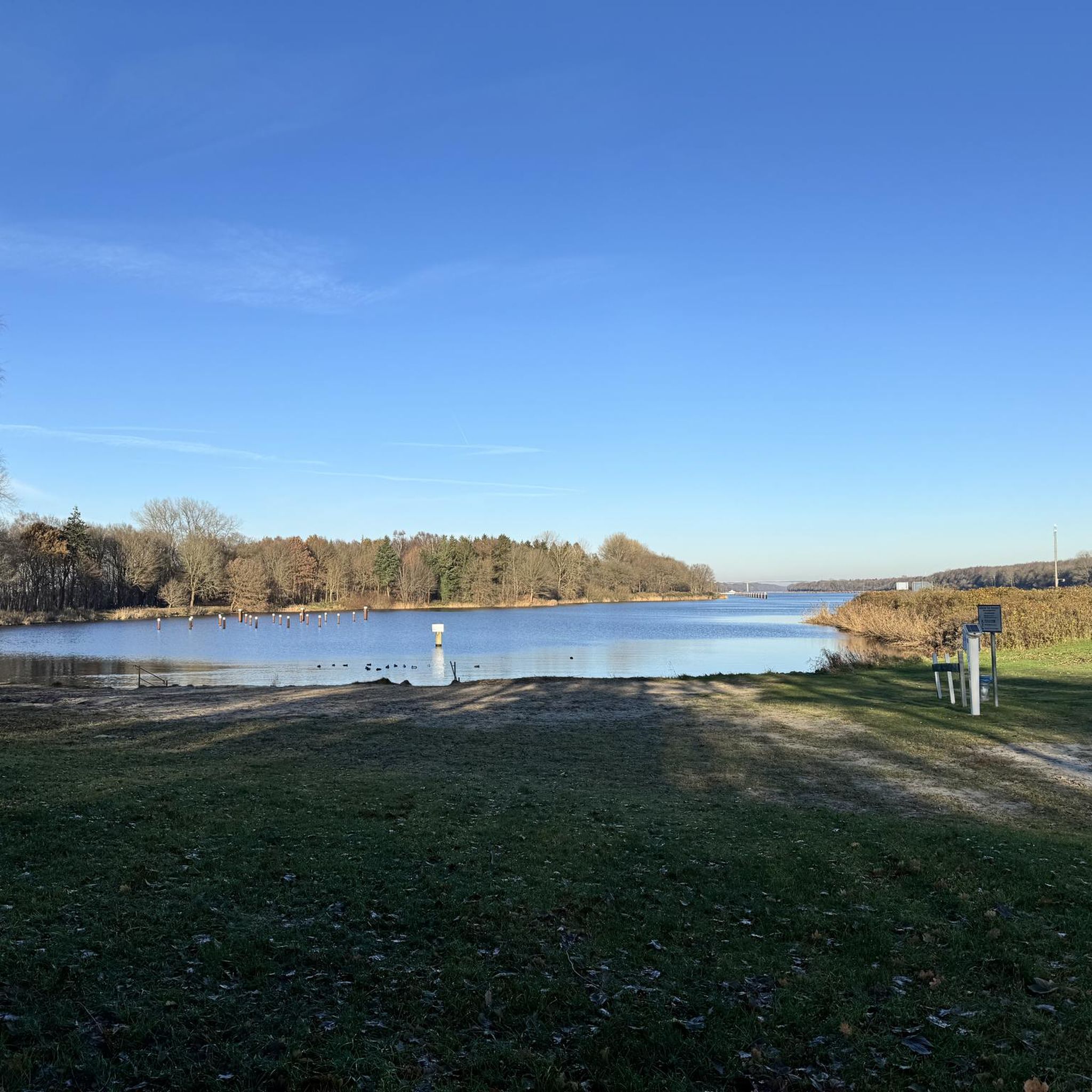
beautiful swimming lake, ideal on hot summer days after a nice bike or hike
0
0


Beautiful road, always good surface. Ideal for gravel.
0
0

This is the Chapelle Saint-Roch, a place rich in history and reverence in the Pays des Écrins. Saint Roch himself is believed to have visited this chapel during his pilgrimage, finding solace and strength within its walls.
0
0

From 1910 to 1988, L'Argentière-la-Bessée lived to the rhythm of its aluminum factory, which made this valley, once almost deserted, the largest industrial center in the Hautes-Alpes department. Beautiful photos to discover!
0
0

Located in Argentière-la-Bessée, the Hermes clock tower, built between 1920 and 1922, overlooks the town from its rock. Nicknamed "the bosses' clock", it testifies to a municipal initiative against the metallurgical factories. A dated bench invites you to admire the view. Nearby, the Via Ferrata offers a getaway. Although not currently open to visitors, the hope of opening during heritage days persists.
0
0

The plateau between Les Têtes and Château Le Brun is a beautiful flowery alpine meadow. At an altitude of around 2,000 meters, you run on a cart track and enjoy the views. Further on, there is a beautiful viewpoint of Les Têtes.
0
0
Frequently Asked Questions
How many no-traffic touring cycling routes are available in Freissinières?
Freissinières offers a wide selection of touring cycling routes designed to minimize traffic, with over 50 routes available. These routes cater to various skill levels, ensuring a suitable option for every cyclist.
What is the best time of year to go touring cycling in Freissinières?
The best time for touring cycling in Freissinières is typically from late spring through early autumn. During these months, the weather is generally favorable, and the high-altitude passes are clear of snow, offering access to the full range of routes and stunning alpine scenery. Winter transforms the area into a Nordic ski domain, making cycling less feasible on many trails.
Are there any easy no-traffic touring cycling routes suitable for beginners or families?
Yes, Freissinières has options for easier rides. For instance, the route La Druance in La Roche-de-Rame – La Roche-de-Rame Lake loop from L'Argentière-les-Écrins is rated as easy, covering 18.4 km with minimal elevation gain. This route is a great choice for those looking for a relaxed ride through the valley.
What kind of terrain can I expect on the no-traffic touring cycling routes in Freissinières?
The terrain in Freissinières is incredibly varied. You'll cycle through glacial valleys, extensive larch forests, and alongside the Biaysse river. Routes can range from gentle valley floors to challenging mountain roads with significant elevation changes, offering panoramic views of the Écrins National Park. Some routes might include gravel sections, especially those exploring the broader Durance Valley.
What natural features or scenic views can I expect to see along the routes?
Freissinières is rich in natural beauty. Cyclists can enjoy breathtaking views of the Écrins National Park's ridges, numerous waterfalls, and high-altitude lakes such as Palluel, Faravel, and Fangeas. The valley itself is a 'suspended valley' offering diverse landscapes, from lush forests to rugged mountain backdrops. You might also spot historical elements like the 'black blocks' from former coal mines.
Are there any circular no-traffic touring cycling routes in Freissinières?
Yes, many of the touring cycling routes in Freissinières are designed as loops, allowing you to start and end at the same point. An example is the Byasse Waterfall – Dormillouse loop from L'Argentière-les-Écrins, which offers a challenging 37.3 km ride through scenic landscapes.
What do other touring cyclists enjoy most about the routes in Freissinières?
The touring cycling routes in Freissinières are highly rated by the komoot community, with an average score of 4.5 stars from over 290 reviews. Cyclists frequently praise the stunning, traffic-free natural landscapes, the challenging yet rewarding climbs, and the sense of tranquility found within the Écrins National Park.
Are there any notable lakes or points of interest accessible from the cycling routes?
Absolutely. The region boasts several beautiful lakes and points of interest. You can find highlights such as Lac des Sirènes, Lake Vallonpierre, and Lake Orceyrette. The isolated village of Dormillouse, accessible after a short walk, also serves as a starting point for hikes to lakes Faravel and Palluel.
Can I access these no-traffic routes using public transport?
While Freissinières itself is a more secluded area, access to the broader Durance Valley, which includes parts of these routes, can be achieved via public transport to larger towns like Briançon or L'Argentière-les-Écrins. From there, local services or cycling can connect you to the starting points of many routes. It's advisable to check local bus schedules for specific connections.
Are there any challenging no-traffic touring cycling routes for experienced riders?
Yes, Freissinières is well-suited for experienced riders seeking a challenge. Many routes are rated as difficult, featuring significant elevation gains and technical sections. For example, the Col d'Anon – Cinéma Le Petit Vite loop from L'Argentière-les-Écrins is a demanding 27.3 km route with nearly 1000 meters of ascent, offering a true test of endurance and stunning views.
Where can I find parking for these no-traffic touring cycling routes?
Parking is generally available in the main villages and starting points of the routes, such as L'Argentière-les-Écrins, La Roche-de-Rame, or Champcella. These locations serve as common access points for cyclists exploring the Freissinières valley and surrounding areas. Always look for designated parking areas to ensure convenience and respect for local regulations.
Most popular routes around Freissinières
Most popular attractions around Freissinières

Get inspired with the komoot mobile app


Explore more
Browse the best Cycling routes in other regions.
