The best traffic-free bike rides around Puy-Saint-Vincent
4.6
(109)
5,305
riders
5
rides
No traffic road cycling routes around Puy-Saint-Vincent are situated in the French Alps, offering a landscape characterized by high mountains, deep valleys, and extensive larch forests. The region is at the gateway to the Écrins National Park, providing a dramatic backdrop for cycling. Roads often feature consistent gradients and well-paved asphalt, leading through varied terrain with significant elevation changes.
Best no traffic road cycling routes around Puy-Saint-Vincent
- The most popular no traffic road cycling route is Byasse Waterfall – Freissinières…
Last updated: August 26, 2026
5.0
(1)
28
riders
17.2km
01:07
500m
500m
Moderate road ride. Good fitness required. Mostly well-paved surfaces and easy to ride.
3.0
(1)
18
riders
16.5km
01:29
510m
510m
Moderate road ride. Good fitness required. Some segments of this route may be unpaved and difficult to ride.

Sign up for free
5.0
(1)
13
riders
36.6km
01:58
620m
620m
Moderate road ride. Good fitness required. Some segments of this route may be unpaved and difficult to ride.
13
riders
12.2km
00:54
440m
440m
Moderate road ride. Good fitness required. Some segments of this route may be unpaved and difficult to ride.
12
riders
7.94km
00:38
320m
320m
Moderate road ride. Good fitness required. Some segments of this route may be unpaved and difficult to ride.
Our route recommendations are based on thousands of hikes, rides, and runs completed by other people on komoot.
Start today with a free account
Your next adventure awaits.
Login or Signup
Popular around Puy-Saint-Vincent
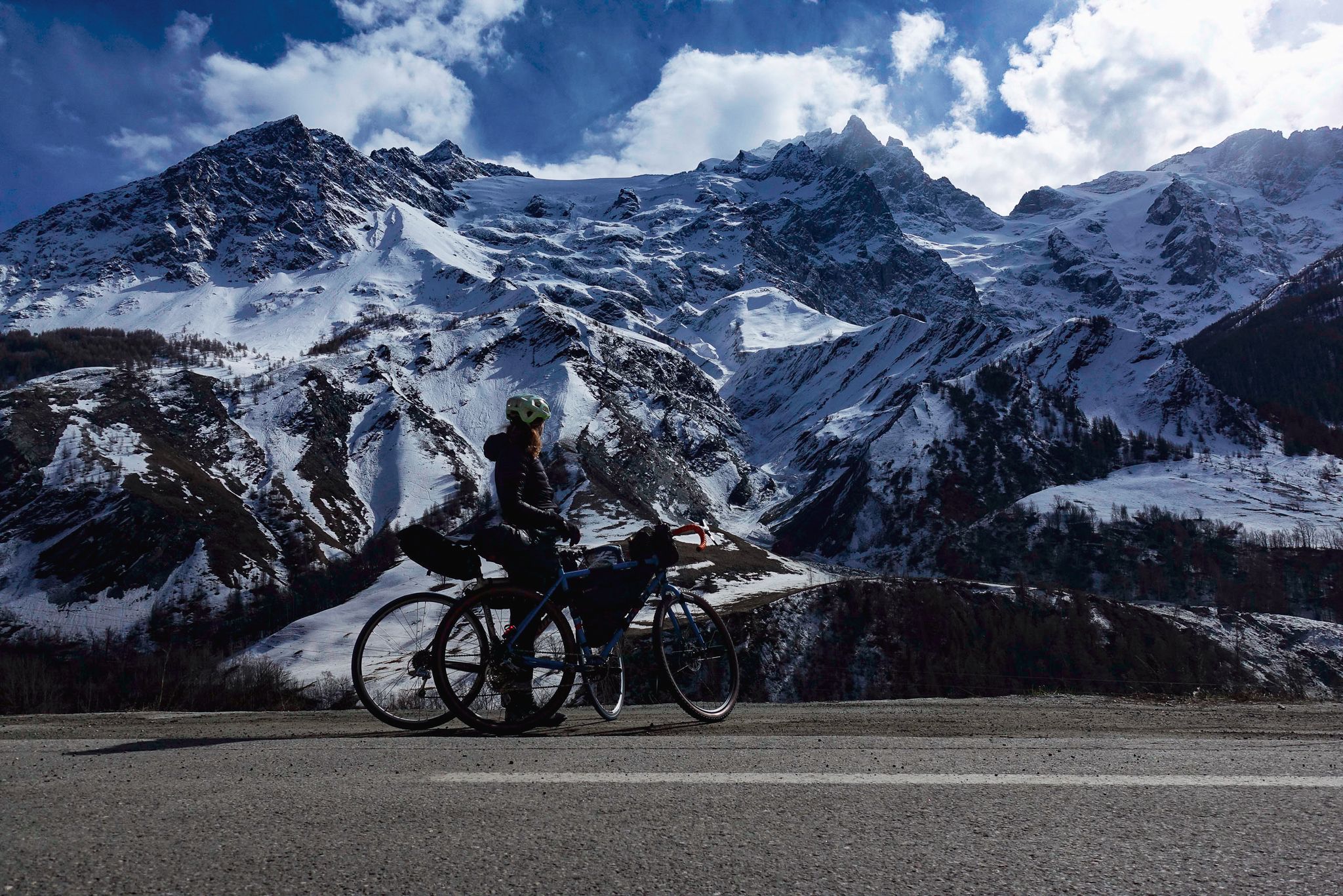
Tour des Écrins – cycling along the borders of France’s Écrins massif

Seven MTB routes in the Southern Alps – nature, passes and valleys
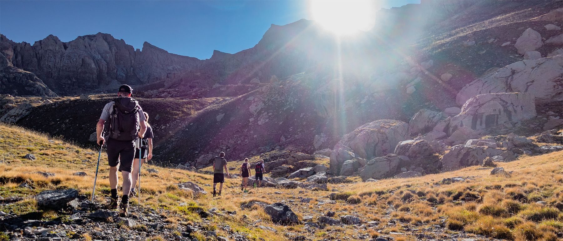
Écrins National Park and more – hikes in and around Puy Saint Vincent
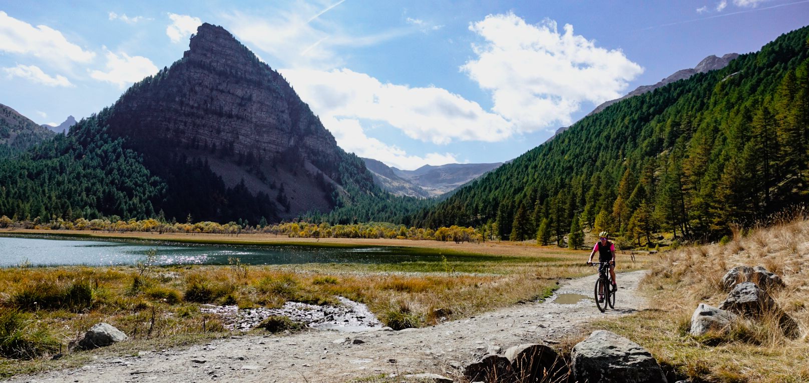
Military roads, forts and tunnels – gravel in the Southern Alps
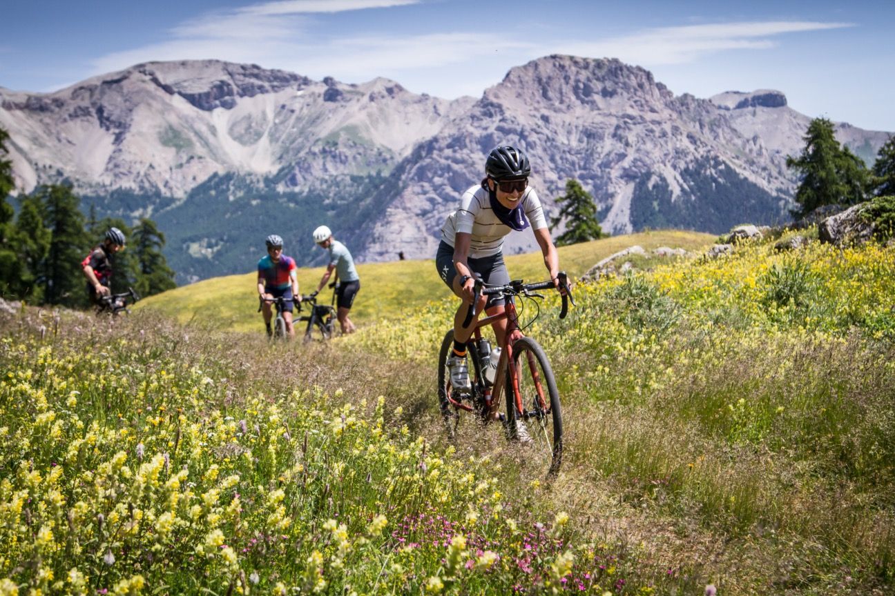
A festival of cycling in the Alps — Where the Streets Have No Name
Traffic-free bike rides around Puy-Saint-Vincent
Traffic-free bike rides around Puy-Saint-Vincent
Other adventures around Puy-Saint-Vincent


Tips from the Community

Beautiful little village, worth stopping to admire the church.
19
0
The stretch is about 1 km long with very steep slopes, so you need to manage your effort well.
18
0
This restaurant is excellent for refreshments.
20
0

It's in the boxes so it's good
0
0

The Chambran car park allows you to drive up to the eponymous plateau. From there, signs point you in the direction of several hiking trails and provide information on the Eychauda valley that you are about to discover. The car park is also a few steps from a refreshment bar.
0
0
The Chambran plateau, known as Chambran, has the label of natural park and thus constitutes an area of ecological, fauna and flora interest. This status means it is strongly protected. The landscapes there are fantastic. If it is the starting point for many hikes to the peaks, it is also enough to be a superb hiking destination.
1
0

Vallouise is a pleasant village in the valley of the same name. There is a big well in the middle of the village. During the Trail des Écrins, we like to dive here to cool off. And on Thursday, you shouldn't miss the weekly market.
0
0

Located in Argentière-la-Bessée, the Hermes clock tower, built between 1920 and 1922, overlooks the town from its rock. Nicknamed "the bosses' clock", it testifies to a municipal initiative against the metallurgical factories. A dated bench invites you to admire the view. Nearby, the Via Ferrata offers a getaway. Although not currently open to visitors, the hope of opening during heritage days persists.
0
0
Frequently Asked Questions
How many no-traffic road cycling routes are available in Puy-Saint-Vincent?
Puy-Saint-Vincent offers a selection of moderate no-traffic road cycling routes. Currently, there are three such routes documented, providing a peaceful cycling experience away from heavy vehicle traffic.
What is the typical terrain and elevation gain like on these routes?
The no-traffic road cycling routes around Puy-Saint-Vincent feature varied terrain, often with consistent gradients as you ascend. You can expect significant elevation gains, typical of the French Alps. For example, the La Gyronde River – La Gyronde loop from Puy-Saint-Vincent includes over 430 meters of ascent over its 12 km distance, while the Vallouise – Vallouise loop from Vallouise climbs nearly 700 meters over 20 km.
When is the best time of year to enjoy traffic-free road cycling in Puy-Saint-Vincent?
The warmer months, typically from late spring through early autumn, are ideal for road cycling in Puy-Saint-Vincent. During this period, the roads are clear of snow, and the weather is generally pleasant, allowing you to fully appreciate the stunning mountain views and larch forests.
Are there any easier no-traffic road cycling routes for beginners or those looking for a more relaxed ride?
While all listed no-traffic routes are rated as moderate due to elevation, the La Gyronde loop from Les Vigneaux is the shortest at just under 8 km with around 316 meters of elevation gain, making it a good option for a less strenuous outing.
Can I find circular no-traffic road cycling routes in the area?
Yes, all the no-traffic road cycling routes in Puy-Saint-Vincent are designed as circular loops. This allows you to start and end your ride at the same point, such as the Byasse Waterfall – Freissinières Valley loop from La Roche-de-Rame.
What scenic landmarks or viewpoints can I expect to see along these routes?
The routes offer breathtaking views of the Écrins massif and pass through beautiful larch forests. You might encounter natural features like the Col de la Pousterle, which provides sweeping panoramas of the Vallouise, Fournel, and Durance valleys. The region is also at the gateway to the Écrins National Park, ensuring dramatic backdrops throughout your ride.
Are there any routes that pass by natural features like waterfalls?
Yes, the Byasse Waterfall – Freissinières Valley loop from La Roche-de-Rame is a moderate 22.8 km route that takes you past the scenic Byasse Waterfall, offering a refreshing natural highlight during your ride.
Is parking available near the trailheads for these routes?
Parking is generally available in the villages and towns where these routes begin, such as La Roche-de-Rame, Puy-Saint-Vincent, Vallouise, or Les Vigneaux. These areas are common starting points for outdoor activities, so you should find suitable parking options.
Are there options for food and drink along or near the no-traffic routes?
Yes, you'll find options for refreshments in the villages and resorts. For example, the Pelvoux Refuge is a restaurant, and the Sélé Refuge is a pub, both located within the broader Puy-Saint-Vincent area, offering places to stop and refuel after your ride.
What do other cyclists say about the no-traffic road cycling experience in Puy-Saint-Vincent?
The area is highly rated by the komoot community, with an average score of 4.28 stars. Reviewers often praise the quiet roads, stunning mountain scenery, and the challenging yet rewarding climbs that characterize road cycling in Puy-Saint-Vincent.
Are these routes suitable for families with children?
Given the moderate difficulty and significant elevation gains of these routes, they are generally more suitable for families with older, experienced cycling children. For younger children, shorter, flatter sections within villages might be more appropriate, though these specific listed routes are designed for road cycling with some challenge.
Can I bring my dog along on these no-traffic road cycling routes?
While the routes themselves are on public roads, the suitability for dogs depends on your dog's ability to keep pace and local regulations. If your dog is accustomed to running alongside a bike, these quiet roads could be an option. However, always ensure your dog is on a leash and consider their endurance and paw safety on asphalt surfaces.
Most popular routes around Puy-Saint-Vincent
Most popular attractions around Puy-Saint-Vincent

Get inspired with the komoot mobile app


Explore more
Browse the best Road cycling routes in other regions.
