The best hikes from bus stations around Château-Gontier
4.6
(508)
3,374
hikers
60
hikes
Bus station hiking trails around Château-Gontier are characterized by the Mayenne River, which forms a central feature of the landscape. The region offers a mix of river towpaths, greenways, and trails through rolling fields and forests. Hikers can explore varied terrain, including picturesque villages and areas of natural beauty along the river valley. The area's gentle elevation makes many routes accessible for different fitness levels.
Best bus station hiking trails around Château-Gontier
- The most popular bus station hiking route is…
Last updated: August 26, 2026
4.5
(2)
10
hikers
26.5km
06:53
170m
170m
Hike the difficult 16.4-mile (26.5 km) loop along the Mayenne River from Château-Gontier, featuring riverside views and historic sites.
23
hikers
Easy hike. Great for any fitness level. Easily-accessible paths. Suitable for all skill levels.

Sign up for free
5.0
(3)
18
hikers
13.4km
03:35
140m
140m
Moderate hike. Good fitness required. Easily-accessible paths. Suitable for all skill levels.
4.8
(6)
19
hikers
14.0km
03:40
100m
100m
Moderate hike. Good fitness required. Easily-accessible paths. Suitable for all skill levels.
4.8
(4)
9
hikers
24.4km
06:22
170m
170m
Hard hike. Very good fitness required. Easily-accessible paths. Suitable for all skill levels.
Get access to more routes and recommendations from other explorers.
Sign up for free
Already have an account?
Our route recommendations are based on thousands of hikes, rides, and runs completed by other people on komoot.
Start today with a free account
Your next adventure awaits.
Login or Signup

Other adventures around Château-Gontier


Tips from the Community

A site exploited since a very long time, as early as the 11th century, with two mills: the Petit Pendu and the Grand Pendu.
0
0
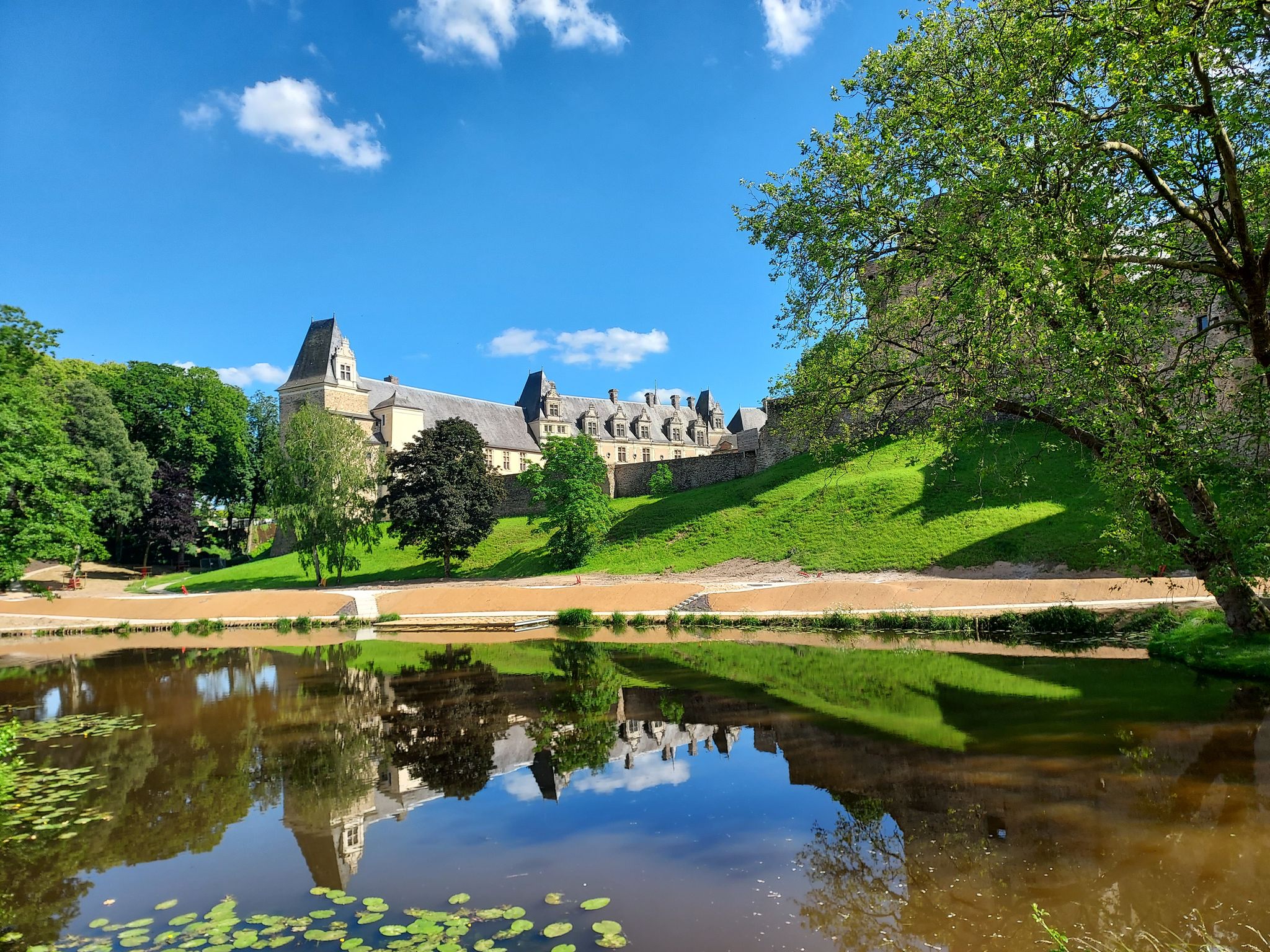
Beautiful castle whose construction dates back to 1868. Beautiful trees can be seen in its park flanked by the cliff, including cedars.
0
0
Remains of the old medieval ramparts.
0
0
House from the late 18th century, recognizable by its roof that evokes a pagoda and the human and animal statues that decorate the garden.
0
0
Magnificent view of the Mayenne and the village of Daon.
0
0
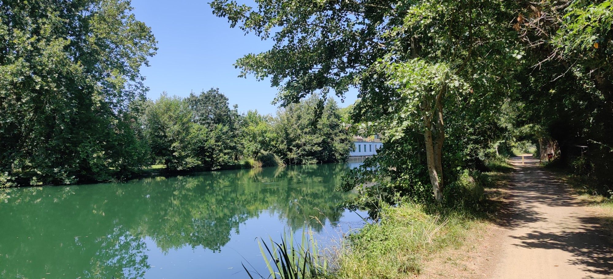
Very rolling and shaded path
0
0

Magnificent site with camping and a waterfront café. Relaxing and pleasant.
0
0

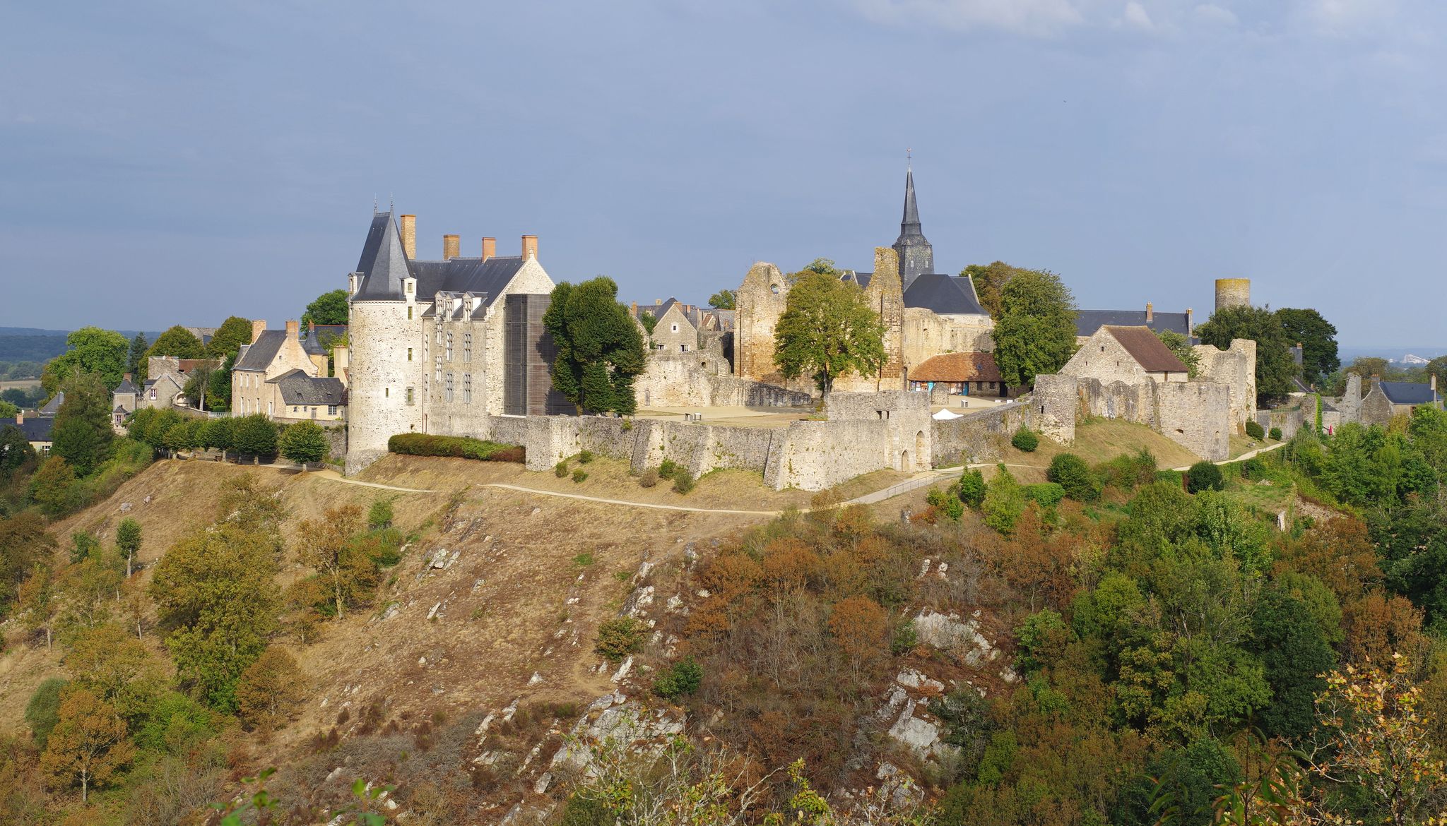
It is the castle which gave its name to the town. Only the fortifications remain. These ramparts are more than a thousand years old and were built in the 11th century.
0
0
Frequently Asked Questions
How many bus station hiking trails are available around Château-Gontier?
There are over 25 hiking trails accessible from bus stations around Château-Gontier, offering a variety of experiences for different fitness levels.
Are there easy hiking trails suitable for beginners or families?
Yes, Château-Gontier offers several easy trails. Approximately 6 routes are classified as easy, perfect for a relaxed stroll. The region's towpaths along the Mayenne River are generally flat and well-maintained, making them ideal for families. The Fontenelle footpath, mentioned in regional research, is also an easy, shaded walk.
What kind of natural features and landscapes can I expect to see on these hikes?
The trails around Château-Gontier showcase the beautiful Mayenne River valley, with lush green landscapes, rolling fields, and picturesque villages. You'll often find serene waterside paths, shaded banks, and repurposed old railway lines (greenways) winding through forests and past ponds. The Mayenne Viaduct offers breathtaking views of the river and surrounding scenery.
Are there any circular hiking routes starting from the bus station?
Yes, many routes are designed as loops. For a moderate day hike, consider the Mirwault Lock – Château-Gontier Castle loop from Château-Gontier, which covers about 10.7 km. For a longer challenge, the Mayenne Towpath Loop from Château-Gontier is a difficult 26.5 km option.
Can I bring my dog on the hiking trails?
Generally, dogs are welcome on most public hiking trails in the Château-Gontier area, especially on the river towpaths and greenways. However, it's always recommended to keep them on a leash, particularly in nature reserves or near livestock, and to check specific trail regulations if available.
What are some interesting landmarks or attractions I can see along the trails?
Many trails pass by historical and natural points of interest. You might encounter the impressive Château-Gontier Castle, the charming Lock Keeper's House of La Rongère, or the ancient Mégalithes de la Baronnière. The town itself boasts several public gardens, including the Jardin du Bout du Monde, offering lovely views.
Are there options for longer day hikes from the bus station?
Absolutely. For a challenging full-day hike, the Château-Gontier Castle – Pendu Lock loop from Château-Gontier is a difficult 24.4 km route. A moderate option is the Château-Gontier Castle – Pendu Lock loop from Château-Gontier-sur-Mayenne, which spans about 15 km.
What is the best time of year to go hiking in Château-Gontier?
The region is particularly beautiful from spring to early autumn (April to October). During these months, the landscapes are lush and green, and the weather is generally pleasant for hiking. The Mayenne River and its surroundings are vibrant with flora and fauna. While winter hiking is possible, some paths might be muddy, and services could be limited.
Are there places to eat or drink near the hiking trails?
Yes, Château-Gontier itself offers various cafes and restaurants. Along the Mayenne River, you might find charming spots like the Ménil riverside café. The town also has facilities for water activities like Canotika, which can be a good stop for refreshments.
What do other hikers enjoy most about the trails around Château-Gontier?
The komoot community highly rates the hiking experiences around Château-Gontier, with an average score of 4.59 stars. Reviewers often praise the serene beauty of the Mayenne River, the well-maintained towpaths, and the blend of natural scenery with historical landmarks. The accessibility of trails from the town center is also frequently highlighted.
Are there any less crowded hiking options available?
While the main towpaths can be popular, exploring some of the smaller, less-known circuits that venture into the surrounding fields and villages, such as the 'Circuit of the three communes starting from Ménil' (mentioned in regional research), can offer a quieter experience. Hiking during off-peak hours or weekdays can also help avoid crowds.
Most popular routes around Château-Gontier
Most popular attractions around Château-Gontier

Get inspired with the komoot mobile app


Didn’t find what you were looking for?
Check out more Hikes throughout Château-Gontier below and find the perfect route in your destination.
Explore more
Browse the best Hikes in other regions.
