The best hikes from bus stations around Châtellerault
4.4
(999)
4,881
hikers
56
hikes
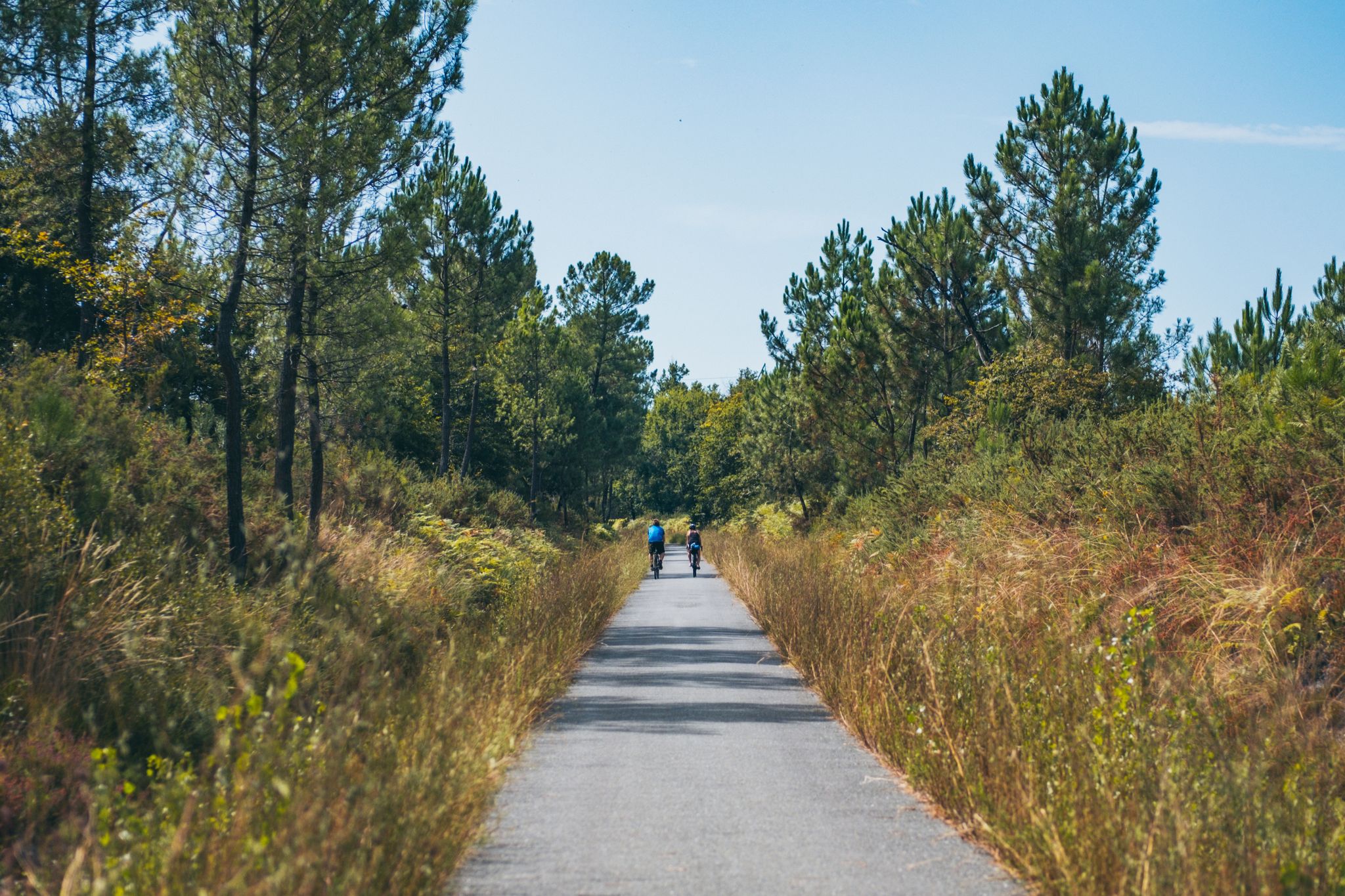
Hiking around Châtellerault offers diverse environments for outdoor enthusiasts. The region is characterized by dense woodlands, serene river valleys, and protected natural reserves, providing varied terrain. Key natural features include the extensive Forêt Domaniale de Châtellerault, the tranquil Pinail Nature Reserve, and the picturesque banks of the Vienne River. The topography generally features modest elevation changes, suitable for a range of hiking abilities.
Best bus station hiking trails around Châtellerault
- The most popular bus station hiking route is Usseau and…
Last updated: August 26, 2026
3.8
(4)
13
hikers
10.1km
02:42
110m
110m
Moderate hike. Good fitness required. Mostly accessible paths. Sure-footedness required.
4.7
(10)
16
hikers
9.31km
02:28
90m
90m
Moderate hike. Good fitness required. Easily-accessible paths. Suitable for all skill levels.

Sign up for free
4.6
(8)
24
hikers
7.77km
02:01
50m
50m
Moderate hike. Good fitness required. Easily-accessible paths. Suitable for all skill levels.
5.0
(3)
22
hikers
11.2km
02:53
50m
50m
Moderate hike. Good fitness required. Easily-accessible paths. Suitable for all skill levels.
4.5
(2)
13
hikers
17.1km
04:29
130m
130m
Moderate hike. Good fitness required. Easily-accessible paths. Suitable for all skill levels.
Get access to more routes and recommendations from other explorers.
Sign up for free
Already have an account?
Our route recommendations are based on thousands of hikes, rides, and runs completed by other people on komoot.
Start today with a free account
Your next adventure awaits.
Login or Signup


Tips from the Community

The history of the Châtellerault dam on the Vienne river, located at the site of the former weapons factory (Manufacture d’armes), is particularly interesting as it is directly linked to the industrialization of the town. 1. A first dam for the Manufacture The first structure was built around 1824, shortly after the creation of the Châtellerault weapons factory in 1819-1822. Its primary objective was not to produce electricity: it was to provide hydraulic power to the Manufacture and to regulate the level of the Vienne necessary for its installations. Administrative sources do indicate a dam built in 1824, intended to supply the Manufacture. The presence of this dam is therefore closely linked to the spectacular industrial development of Châtellerault in the 19th century. 2. The dam then plays a role in water supply The dam also gained importance for the town's water supply. After 1864, when the Manufacture no longer opposed the use of the Vienne's water, the town installed a pumping station near the dam. Hydraulic rams and then, from 1879, a steam engine, made it possible to pump water to the reservoirs and fountains of Châtellerault. It is therefore a site where three stories intersect: - the weapons factory; - water supply; - and then electricity production. 3. Transformation into a hydroelectric power plant The major turning point occurred at the beginning of the 20th century. A hydroelectric power plant was built from 1918 and commissioned in 1921, for the Société des Forces Motrices de la Vienne. The associated dam measures approximately 207 m and creates a head of 11.50 m. The power reached about 10,000 hp in 1926. There are also plans preserved at the Defence Historical Service (Service historique de la Défense) concerning precisely the dam, the spillway, the gates, and the hydroelectric power plant, dated notably from 1916 to 1928. 4. Destruction in 1944 The dam and hydroelectric installations were destroyed in 1944, during the fighting and the withdrawal of German forces. They were then rebuilt in 1952. This reconstruction partly explains why the structure we see today does not exactly correspond to the dam of the 1920s. 5. Since 1967: EDF In 1967, EDF took over the operation of the hydraulic power plant. Since then, the dam has mainly served the function of hydroelectric power production. A point of interest: this dam is not a flood control structure Despite its presence on the Vienne, it should not be equated with a large dam intended to protect Châtellerault against floods. Its storage capacity is relatively small and its role is essentially linked to electricity production and maintaining a water level. PPRI (Flood Risk Prevention Plan) documents specify that its influence is negligible during very large floods, such as those of 1913 or 1944. Simplified chronology -1824: Construction of the first dam for the Manufacture -1864-1879: Use for the water supply of Châtellerault -1918: Start of construction of the hydroelectric power plant -1920-1921: Commissioning of the hydroelectric installation -1926: power of approximately 10,000 hp -1944: The history of the Châtellerault dam on the Vienne river, located at the site of the former weapons factory, is particularly interesting as it is directly linked to the industrialization of the town.
0
0
The Henri IV bridge of Châtellerault: a history of nearly 1,000 years The Henri IV bridge is one of Châtellerault's emblematic monuments. It crosses the Vienne river near its confluence with the Envigne and is today a remarkable work of the Renaissance. 🏰 Before the current bridge The existence of a bridge in Châtellerault is attested as early as the 11th century, around 1065, and again in 1120. It is said to have been initially linked to an old ford allowing crossing the Vienne. In the Middle Ages, several structures followed one another. A stone bridge is said to have been built in the 12th century, parallel to the development of the fortified district of Châteauneuf on the left bank. Around 1350, during the Hundred Years' War, the crossing was fortified with towers placed at the ends of the bridge. In the 16th century, the bridge was badly damaged. A major flood of the Vienne in 1556 notably destroyed the old wooden structure. King Henry II then considered rebuilding it in stone, but his accidental death in 1559 interrupted the project. 👑 The construction of the current bridge It was finally under Charles IX, then Henry III, that the project for a new large stone bridge was relaunched around 1564-1565, at the request of the inhabitants. The construction would be extraordinarily long: over forty years, from 1565 to 1609. Four architects succeeded each other in managing the site, including members of the famous Du Cerceau family, great architects of the Renaissance. The site was finally completed under Henry IV, with the decisive intervention of Sully, his superintendent of buildings and chief surveyor of France. Henry IV himself came to Châtellerault in 1606, while the bridge was not yet finished. It would be delivered in 1609, a year before the king's death. It is therefore important to specify that the bridge was not built "by Henry IV": it was started under Charles IX and completed during his reign. Why does it bear his name? It is even an interesting peculiarity: for several centuries, it was not called "Henri IV bridge". It is found under the names: -Pont-Neuf -Grands-Ponts -Bridge of Châtellerault -then in the 19th century Pont Sully. -It was only around 1900 that it definitively took the name of Henri IV bridge. 🏗️ An exceptional structure The bridge measures approximately 150 m in length and over 21 m in width. It consists of large stone arches. It has a very remarkable feature: two powerful round towers with conical roofs frame the entrance to the bridge on the left bank, on the Châteauneuf side. These towers give the bridge its almost "fortified" appearance. However, contrary to what one might think, they were not essentially military structures. They could notably be used to control the entrance to the town, especially during periods of unrest or epidemics. The towers formerly located at the other end, on the town side, have now disappeared. ⚔️ The bridge during the Second World War The bridge also played a dramatic role in August 1944. As German troops were withdrawing, the bridge was threatened with destruction. On August 31 and September 1, 1944, the action of police commissioner and FFI lieutenant Charles Bichat, as well as the negotiations of sub-prefect Pierre-Marcel Wiltzer, prevented its destruction. This is a particularly important episode in the contemporary history of the monument. 🏛️ Historic Monument The Henri IV bridge has been classified as a historic monument since 1913. Today it belongs to two owners: -the Department of Vienne for the bridge, arches, and roadway; -the City of Châtellerault for the two towers. 🔨 The major recent restoration An in-depth diagnosis carried out in 2017 revealed the importance of the necessary work. A first phase of restoration was launched in 2022: waterproofing of the deck, restoration of the buried parts, and then progressive restoration of the arches. After 16 months of work, the bridge was reopened to traffic on April 21, 2023, and the work was officially inaugurated on May 27, 2023. The overall cost of restoring the masonry had been estimated at over 7.5 million euros including tax, to which were added the works concerning the roadway. A particularly interesting architectural detail The Henri IV bridge belongs to the same generation of structures as the Pont-Neuf in Paris and the Pont-Neuf in Toulouse. However, it has a remarkable characteristic: great regularity and highly advanced architectural symmetry, with particularly sophisticated stonework.
0
0

Les Loges du Parc is one of those buildings you first pass by and think: "beautiful hotel." Until you hear that it was La Roche-Posay's golden age during the Belle Époque, when wealthy Parisians would come here for months to take a spa treatment, stroll, and stroll. Built around 1905, the hotel already had something striking: — wide balconies for "airing out," as doctors called it, — a facade that resembled a chic townhouse more than a spa, — and a garden that once served as a meeting place for spa guests (read: gossiping, playing cards, and making wedding plans).
4
0
The church of La Roche-Posay appears rather austere from the outside, but appearances can be deceiving. Inside, you'll find details you wouldn't immediately expect in such a small spa town: – stained-glass windows that make the entire interior glow in the right light, – Romanesque elements dating back to the 11th and 12th centuries, – and a strikingly massive bell tower that also once served a defensive function. Fun fact: the church has always been the heart of the pilgrimage route, long before La Roche-Posay became known for its thermal springs. Travelers came here to pray before continuing on to the Creuse Valley.
4
0
At first glance, this looks like a classic stone bridge, but it's actually an old railway bridge from the former Port-de-Piles – Argenton line. Decades ago, trains crossed it towards Châtellerault and Argenton-sur-Creuse. Now the railway is gone, but the viaduct remains. Massive, elegant, and almost perfectly reflected in the river. The large arches create the illusion of three large circles when the water is calm. An unexpectedly photogenic spot.
4
0
The keep of La Roche-Posay is one of those towers you first walk past and think, "Okay, old block of stone." But upon closer inspection, you'll see this is no ordinary tower. It's a rare example of a purely defensive keep from the 11th century. The funny thing? It was deliberately built asymmetrically. Not because medieval builders were sloppy, but because the tower had to fit on the rocky ridge below.
4
0
The Porte Bourbon is one of the medieval gates that once formed part of the city walls of La Roche-Posay. What many people don't know is that this gate served both as a defense and a toll station. Travelers entering the city used to have to stop here to pay taxes on goods. Note the details: the slanted slots at the top (where a portcullis or beams used to be attached) and the thick inner wall where soldiers waited. It feels small and unassuming, but this gate was once literally the city's "check-in."
4
0
Frequently Asked Questions
How many hiking trails are accessible by bus around Châtellerault?
There are over 50 hiking trails around Châtellerault that are accessible via public transport. These routes offer a mix of easy and moderate options, allowing you to explore the region's diverse landscapes without needing a car.
What kind of landscapes can I expect on bus-accessible hikes near Châtellerault?
You can expect a variety of landscapes, from dense woodlands like the Forêt Domaniale de Châtellerault to serene river valleys along the Vienne. Many trails also feature picturesque lakes, such as Lac de la Forêt, and protected natural reserves with unique flora and fauna.
Are there any easy, family-friendly hikes accessible by bus from Châtellerault?
Yes, Châtellerault offers several easy, family-friendly options. For example, the La Roche-Posay – Porte Bourbon loop from La Roche-Posay is an easy 6.7 km trail that can be reached by bus. The region's generally gentle topography makes many routes suitable for families.
Can I find circular hiking routes that start and end near a bus stop in Châtellerault?
Absolutely. Many of the trails around Châtellerault are designed as loops, allowing you to start and finish your hike at the same point, often conveniently located near public transport stops. An example is the Lac de la Forêt loop from Grand Châtellerault, which offers a moderate 10.4 km circuit.
What historical landmarks or points of interest can I see on these bus-accessible trails?
Many routes combine natural beauty with historical sites. You might encounter charming castles like Château de la Motte d'Usseau or Le Château de La Motte, which can be seen on the Usseau and Le Château de La Motte – loop. The historic Porte Bourbon is also accessible via routes like the Porte Bourbon – La Roche-Posay loop from La Roche-Posay.
Are there any trails that pass by water features or lakes?
Yes, the region is rich in water features. The Lac de la Forêt loop from Grand Châtellerault takes you around the tranquil Lac de la Forêt, a popular spot for recreation. The Pinail Nature Reserve also features a unique, pond-dotted landscape, offering opportunities to observe diverse aquatic flora and fauna.
What do other hikers say about the trails around Châtellerault?
The komoot community rates the hiking trails around Châtellerault highly, with an average score of 4.5 stars. Reviewers often praise the well-maintained paths, the peaceful atmosphere of the woodlands, and the scenic beauty of the river valleys and lakes.
What is the best time of year to go hiking in Châtellerault?
Spring and autumn are particularly pleasant for hiking in Châtellerault, with mild temperatures and beautiful natural colors. Summer offers longer daylight hours, ideal for exploring, while winter can provide a different, quieter experience, especially in the forests, though some paths might be muddy.
Are dogs allowed on the bus-accessible hiking trails in Châtellerault?
Generally, dogs are welcome on many of the hiking trails in the Châtellerault region, especially in natural areas like the Forêt Domaniale. However, it's always recommended to keep them on a leash, especially in nature reserves or areas with livestock, and to check specific local regulations for public transport and protected areas.
Are there any trails that offer panoramic views or viewpoints?
While the region's topography is generally gentle, some trails offer elevated perspectives. The 'Circuit des Croix à Monthoiron' (not a specific route in our data, but mentioned in region research) is known for providing magnificent views of the Forêt de Chitré and Châtellerault. Many routes along the Vienne River also offer picturesque open views of the river and surrounding countryside.
Can I find longer, more challenging hikes accessible by bus?
Yes, while many routes are easy to moderate, some offer a longer distance or slightly more varied terrain. The Le Grand Atelier – Châtellerault loop from Grand Châtellerault is a moderate 10.9 km hike, providing a good option for those looking for a longer excursion accessible by public transport.
Most popular routes around Châtellerault
Most popular attractions around Châtellerault

Get inspired with the komoot mobile app


Explore more
Browse the best Hikes in other regions.
