The best hikes from bus stations around Poitiers
4.4
(1387)
7,214
hikers
338
hikes
Bus station hiking trails around Poitiers offer access to diverse natural landscapes in the Vienne department. The region is characterized by river valleys, including the Clain and Auxance, alongside wooded areas such as the Givray-Saint-Pierre woods. Hikers can also explore prominent natural cliffs like those at Beauvoir and unique wetlands in the Pinail National Nature Reserve. This varied terrain provides a range of hiking experiences directly accessible from public transport hubs.
Best bus station hiking trails around Poitiers
- The most…
Last updated: August 26, 2026
4.2
(15)
43
hikers
8.87km
02:25
130m
130m
Moderate hike. Good fitness required. Easily-accessible paths. Suitable for all skill levels.
4.8
(29)
80
hikers
9.03km
02:26
110m
120m
Moderate hike. Good fitness required. Easily-accessible paths. Suitable for all skill levels.

Sign up for free
4.2
(13)
54
hikers
13.1km
03:24
90m
90m
Moderate hike. Good fitness required. Easily-accessible paths. Suitable for all skill levels.
4.4
(14)
47
hikers
Moderate hike. Good fitness required. Easily-accessible paths. Suitable for all skill levels.
4.4
(16)
35
hikers
5.09km
01:21
50m
50m
Easy hike. Great for any fitness level. Easily-accessible paths. Suitable for all skill levels.
Get access to more routes and recommendations from other explorers.
Sign up for free
Already have an account?
Our route recommendations are based on thousands of hikes, rides, and runs completed by other people on komoot.
Start today with a free account
Your next adventure awaits.
Login or Signup


Other adventures around Poitiers

Tips from the Community

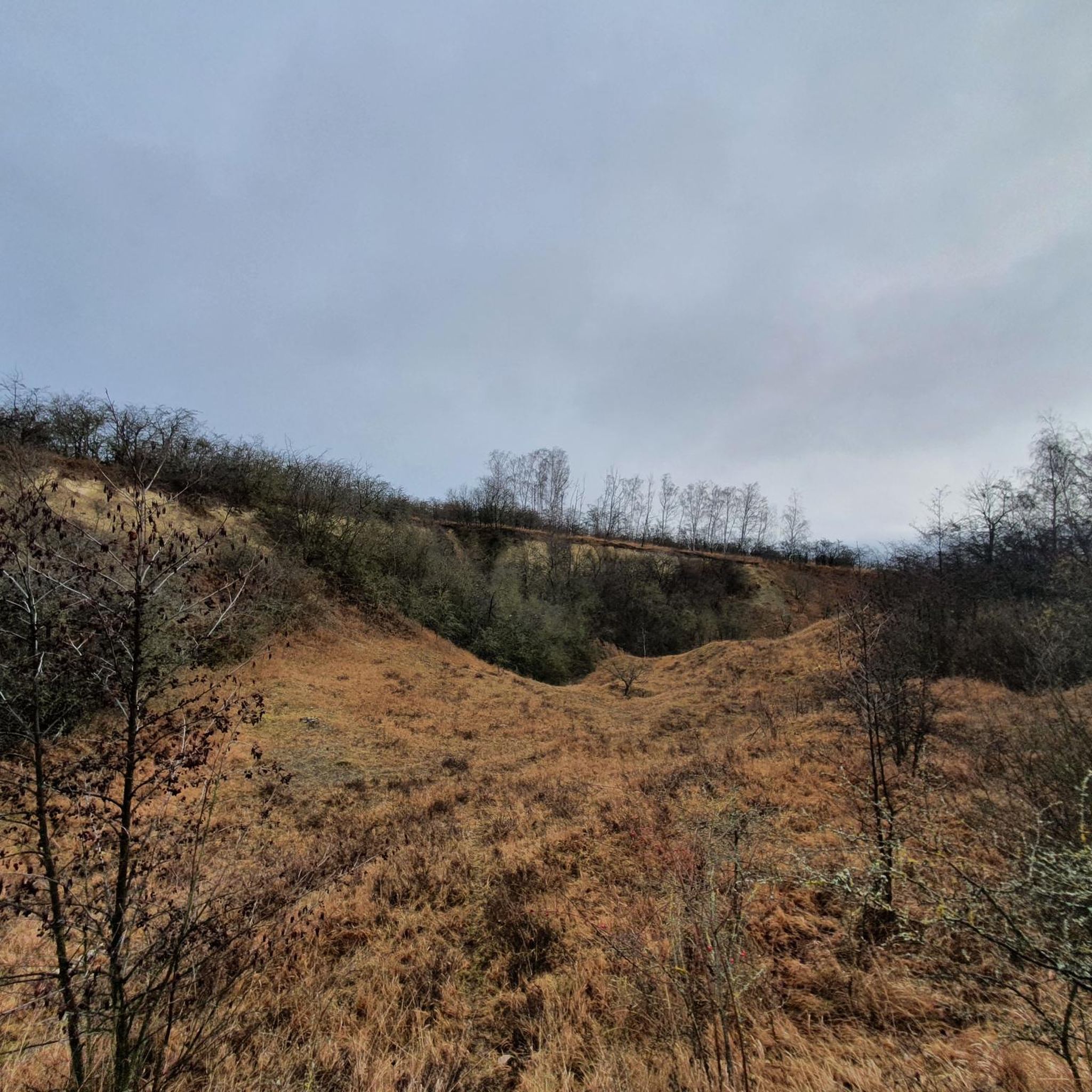
Finally, I was able to do this walk I'd been dreaming about for so long. With these 25 to 30 meters of height, you have a beautiful view of the Auxance valley.
1
0
Across fields and covered path, to do, because this path joins the cliffs of Beauvoir with these 25 to 30 meters of height, instead of the Poitevin climb.
1
1

Walked today (25/07/25) and it is difficult to walk due to 30 fallen trees
1
0

Cliffs I knew well, about sixty years ago. It was an excellent climbing school; climbing walls didn't exist. Very good memories, with the APDA.
1
0


must see, a must-see place for mountain biking!
1
0
Frequently Asked Questions
How many bus-accessible hiking trails are available around Poitiers?
There are over 320 hiking routes around Poitiers that are accessible by bus, offering a wide range of options for all skill levels. This includes more than 150 easy routes, 160 moderate trails, and a selection of more challenging hikes.
What kind of landscapes can I expect on bus-accessible hikes near Poitiers?
The region around Poitiers offers diverse landscapes, even on trails accessible by bus. You can explore picturesque river valleys like those of the Clain and Auxance, lush wooded areas such as the Givray-Saint-Pierre woods, and unique natural features like the Cliffs of Beauvoir. Many routes combine urban landmarks with natural scenery, providing a rich experience.
Are there family-friendly hiking options accessible by bus in Poitiers?
Yes, many routes are suitable for families. The 'coulée verte du Clain' offers peaceful riverside strolls, perfect for all ages. For a slightly longer but still manageable option, the Beauvoir Cliffs – Cliffs loop from Clos Bonnet is an easy 5 km trail with rewarding views, ideal for a family outing.
Can I bring my dog on bus-accessible hikes around Poitiers?
Generally, dogs are welcome on many trails in the Poitiers region, especially in natural areas. However, it's always advisable to keep them on a leash, particularly in nature reserves or areas with livestock, and to check for any specific local regulations or signage along your chosen route. Always ensure you clean up after your pet.
Are there circular hiking routes that start and end near bus stops in Poitiers?
Yes, many of the bus-accessible routes around Poitiers are circular, allowing you to start and finish at the same point, often conveniently located near a bus stop. An example is the Poitiers Monuments and Clain River Loop, which offers a great mix of urban and natural sights.
What are some notable natural features or landmarks I can see on these trails?
You can discover several interesting natural features and landmarks. The Beauvoir Cliffs offer striking geological formations. Along the Clain River, you'll find scenic spots and historical elements. Some routes may also pass by charming villages or ancient sites, providing a blend of nature and heritage.
What is the best time of year to go hiking from bus stations in Poitiers?
The Poitiers region is pleasant for hiking throughout much of the year. Spring and autumn offer mild temperatures and beautiful scenery with blooming flowers or vibrant fall foliage. Summer is also suitable, especially for shaded routes along rivers or through forests. Winter walks can be enjoyable on crisp, clear days, but always check weather conditions.
Are there any routes that combine urban exploration with nature?
Absolutely. The Poitiers Monuments and Clain River Loop is an excellent example, allowing you to explore urban landmarks like Saint-Pierre Cathedral while enjoying the scenic Clain riverbanks. This route perfectly blends the city's rich cultural heritage with its natural surroundings.
Can I find longer, half-day or full-day hikes accessible by bus?
Yes, there are numerous options for longer excursions. For a half-day hike, consider the The Wild Clain – Saint-Benoît Viaduct loop from Poitiers, which is over 11 km. For even longer adventures, Poitiers is situated along significant long-distance routes like the Camino de Santiago, offering extensive expedition opportunities through diverse landscapes.
What do other hikers enjoy most about bus-accessible trails in Poitiers?
The area is highly rated by the komoot community, with an average score of 4.4 stars. Reviewers often praise the accessibility of diverse trails by public transport, the beautiful mix of river valleys and wooded areas, and the opportunity to discover both natural beauty and historical sites without needing a car.
Are there any specific natural reserves reachable by bus for hiking?
While direct bus access to the heart of every reserve might vary, the Pinail National Nature Reserve, known for its unique 'lunar-like' landscape and exceptional biodiversity, is located between Poitiers and Châtellerault. You can often reach nearby villages by bus and then access trails leading into such areas. For more information on this unique reserve, you can visit Tourisme Vienne.
Most popular routes around Poitiers
Most popular attractions around Poitiers

Get inspired with the komoot mobile app


Didn’t find what you were looking for?
Check out more Hikes throughout Poitiers below and find the perfect route in your destination.
Explore more
Browse the best Hikes in other regions.
