The best traffic-free bike rides around El Grado
4.7
(46)
2,014
riders
3
rides
Road cycling around El Grado offers routes through a landscape characterized by river valleys, rolling hills, and historic villages. The region features the El Grado Dam and the Cinca River, providing scenic backdrops for rides. Cyclists can explore routes that traverse varied terrain, from the vicinity of reservoirs to routes passing through canyons and past ancient structures. This area provides a mix of moderate and challenging no traffic road cycling routes.
Best no traffic road cycling routes around El Grado
…Last updated: August 26, 2026
13
riders
62.8km
03:37
1,360m
1,360m
Hard road ride. Very good fitness required. Mostly well-paved surfaces and easy to ride.
Get access to more routes and recommendations from other explorers.
Sign up for free
Already have an account?
Our route recommendations are based on thousands of hikes, rides, and runs completed by other people on komoot.
Start today with a free account
Your next adventure awaits.
Login or Signup
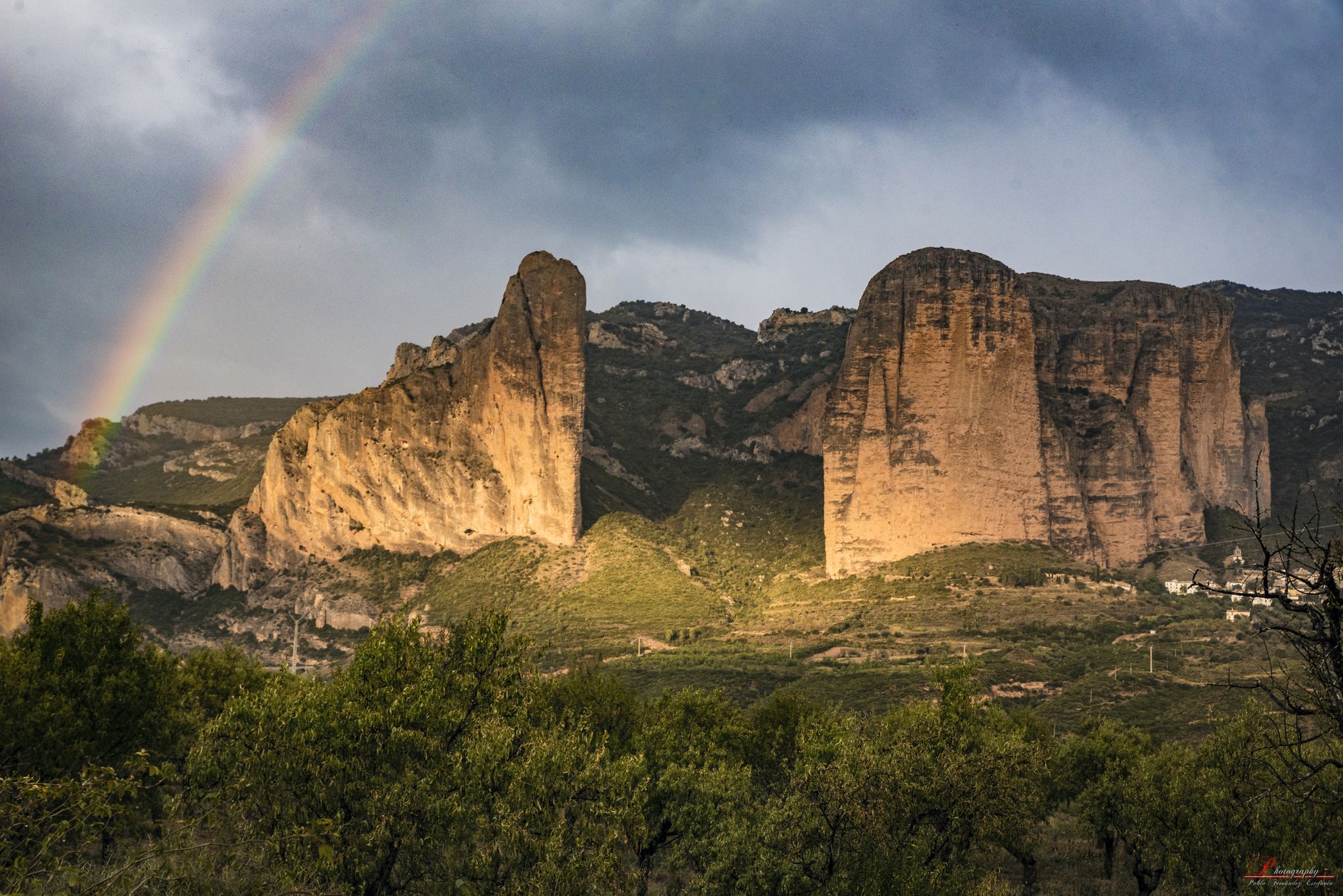
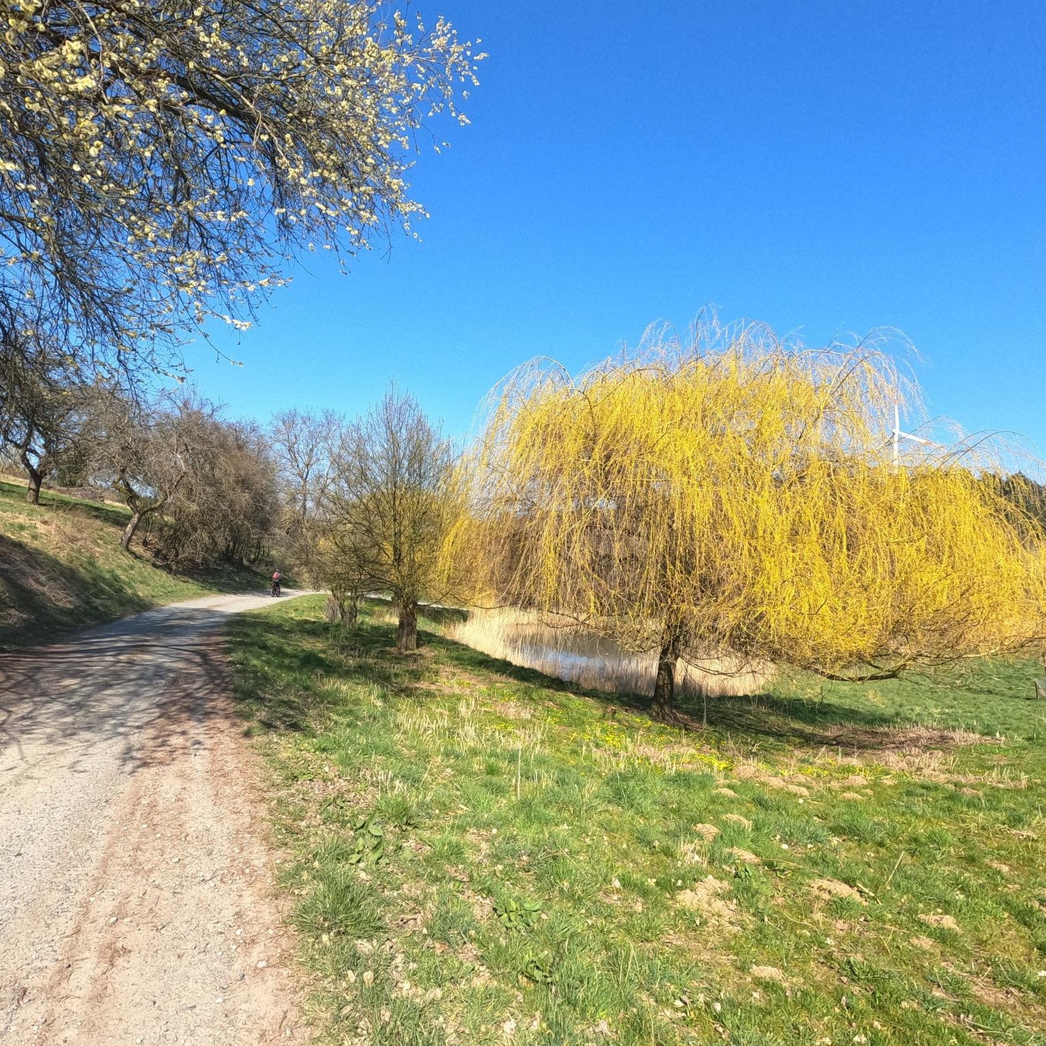
Other adventures around El Grado

Tips from the Community

From here you can see the Buddhist Center Dag Shang Kagyu.
0
0

Formigales is a small town belonging to the municipality of La Fueva. It is located in the Campanué mountain range and very close to the Formigales ravine. The town stands out for preserving a large stone mansion, the Palace of the Murs, a turreted house from the 15th century where the Baron de Formigales lived.
0
0

The hermitage of Santa Brígida gives its name to its hill and to a tributary ravine of the Salinar that rises near it. It is located on the road from Lo Entremón to Tierrantona, before reaching Palo, just at the detour to Salinas de Trillo.
0
0
The name of Salinas derives from the exploitation of salt in the Salinar ravine, which is the most likely origin of the settlement in the area. The water of this ravine is rich in minerals and for centuries there has been knowledge of salt mines in the surroundings. Salinas is located on the southern slopes of the San Marcos (or Trillo) hill, in the basin of the Salinar ravine, which is a direct tributary of the Cinca River through the Ligüerre de Cinca margin. It is not part of the natural subregion of La Fueva, although since the 1960s the surrounding towns have been incorporated into the municipality of La Fueva. However, it has always had a close relationship with the towns of La Fueva itself, which they bought salt in Salinas. It has a fortified house called Casa Palacio, which is a good example of Las Casas Torreadas del Alto Aragón.
0
0
Troncedo is a small town and mountain pass that is located at 1,009 meters above sea level in the southeastern end of La Fueva, on top of a hill on the slope of the Sierra del Turón from Graus to the Fuevan hollow, but which is currently along the HU-V-6441 road. The most defining characteristic of Troncedo is its castle, of which only the homage tower remains, which is larger than those of other main castles in Sobrarbe (the castle of Aínsa or the castle of Boltaña), which makes one think in the proportions that it could have in its time of use. Due to the importance of the castle of Troncedo, the antiquity of the place is known, since documents have been found since the reign of Sancho el Mayor (first half of the 11th century) that already testify to the importance of defending the county of Troncedo, Sobrarbe as well as the nearby town of Graus, which was still Moorish. In 1797 Troncedo had 150 inhabitants; currently has about thirty inhabitants. The road from Graus is in very good condition for road cycling, little traffic, good asphalt and steep climbs. On the other hand, on the Trillo side the road can be defined as a paved forest track and has steeper slopes and very tight curves.
0
0
This is not Alto de Panill! In fact, if Panillo had Alto, it would be the one from his Buddhist temple. Puerto de Troncedo is located in the southern part of the country.
0
0
Views from the detour of the HU-V-6441 to access the little town of Pano, being restored by the endearing and welcoming Kurt FRIDEZ and his sons Simón and David.
0
0
Section of the route to the port of Troncedo 1.009m from A-139 Graus; average slope of 5%.
0
0
Frequently Asked Questions
What kind of no-traffic road cycling routes can I find around El Grado?
El Grado offers a selection of no-traffic road cycling routes that take you through diverse landscapes, including loops around the reservoir and routes exploring nearby villages and natural features. You can find routes ranging from moderate to difficult, providing options for different fitness levels.
Are there any challenging no-traffic road cycling routes in the El Grado area?
Yes, for experienced cyclists looking for a challenge, there is a difficult route available. The Troncedo Castle and Village – Hermitage of Santa Brígida loop from Graus covers over 62 km with significant elevation gain, offering a rewarding ride through mountain landscapes.
Can I find moderate no-traffic road cycling routes suitable for a good workout?
Absolutely. Routes like the El Grado Dam – Ubiergo Village loop from El Grado - Lo Grau offer a moderate challenge, spanning around 30 km with over 600 meters of elevation. Another moderate option is the View of the Vero River Canyon – Vero Gorge loop from Colungo, which is longer at 54 km but has a similar elevation profile.
What are some scenic viewpoints along the no-traffic road cycling routes near El Grado?
The region around El Grado is known for its stunning views. Along your rides, you can discover viewpoints such as the Views of the Torreciudad Sanctuary and the Grado I reservoir, the View of Barasona Reservoir, and the Mipanas Viewpoint, offering picturesque vistas of the water and surrounding mountains.
Are there any natural attractions or landmarks to see while road cycling in El Grado?
Beyond the reservoir views, you can explore natural and historical landmarks. The Waterfall and Pools on the Vero River Walkways (Pasarelas del Vero) offer a beautiful natural stop, and you might pass by the impressive Fuendebañoso de Asque Bridge or the ancient Picamartillo Cave.
What do other road cyclists say about the no-traffic routes in El Grado?
The komoot community highly rates the cycling experience in El Grado, with an average score of 4.6 out of 5 stars from 29 ratings. Cyclists often praise the quiet roads, the stunning reservoir and mountain views, and the opportunity to explore charming villages away from heavy traffic.
Are there any loop routes for no-traffic road cycling around El Grado?
Yes, all the featured no-traffic road cycling routes in this guide are designed as loops. This allows you to start and finish at the same point, making logistics easier. Examples include the El Grado Dam – Ubiergo Village loop and the Troncedo Castle and Village – Hermitage of Santa Brígida loop.
What kind of landscapes can I expect on a no-traffic road bike ride in El Grado?
Expect a diverse mix of landscapes. Your rides will often feature views of the El Grado reservoir and the Cinca River, transitioning into mountain scenery, and passing through agricultural fields and traditional Spanish villages. The routes offer a blend of natural beauty and cultural insights.
Are there any historical or cultural sites accessible by no-traffic road cycling routes?
Yes, several routes pass by or near interesting historical sites. For instance, the Troncedo Castle and Village loop takes you past ancient structures. You can also find highlights like the La Puebla de Castro settlement or the El Pueyo Monastery of Barbastro in the wider area.
What is the typical duration for a no-traffic road cycling route in El Grado?
The duration varies depending on the route and your pace. For example, a moderate route like the El Grado Dam – Ubiergo Village loop typically takes around 1 hour and 40 minutes, while a more challenging and longer route such as the Troncedo Castle and Village – Hermitage of Santa Brígida loop could take over 3.5 hours to complete.
Most popular attractions around El Grado

Get inspired with the komoot mobile app


Explore more
Browse the best Road cycling routes in other regions.
