The best walks and hikes around Märkisch Linden
4.6
(1718)
6,831
hikers
370
hikes
Hiking around Märkisch Linden offers diverse natural landscapes in northern Brandenburg. The region is characterized by lush green forests, numerous picturesque lakes, and the gentle hills of the Ostprignitz-Ruppin region. Key features include the extensive Ruppiner See lake and the surrounding glacial landscapes. These varied terrains provide a range of hiking opportunities.
Best hiking trails around Märkisch Linden
- The most popular hiking route is Katerbow–Netzeband Trail – The Katerbow Oil Mill loop from Katerbower Mühle, a 5.4 miles (8.7…
Last updated: June 28, 2026
4.1
(11)
49
hikers
Moderate hike. Good fitness required. Easily-accessible paths. Suitable for all skill levels.
4.5
(4)
6
hikers
5.26km
01:22
30m
30m
Easy hike. Great for any fitness level. Easily-accessible paths. Suitable for all skill levels.

Sign up for free
4.5
(4)
7
hikers
5.74km
01:29
30m
30m
Easy hike. Great for any fitness level. Easily-accessible paths. Suitable for all skill levels.
5
hikers
Moderate hike. Good fitness required. Easily-accessible paths. Suitable for all skill levels.
5.0
(1)
5
hikers
5.45km
01:24
30m
20m
Easy hike. Great for any fitness level. Easily-accessible paths. Suitable for all skill levels.
Get access to more routes and recommendations from other explorers.
Sign up for free
Already have an account?
Our route recommendations are based on thousands of hikes, rides, and runs completed by other people on komoot.
Start today with a free account
Your next adventure awaits.
Login or Signup
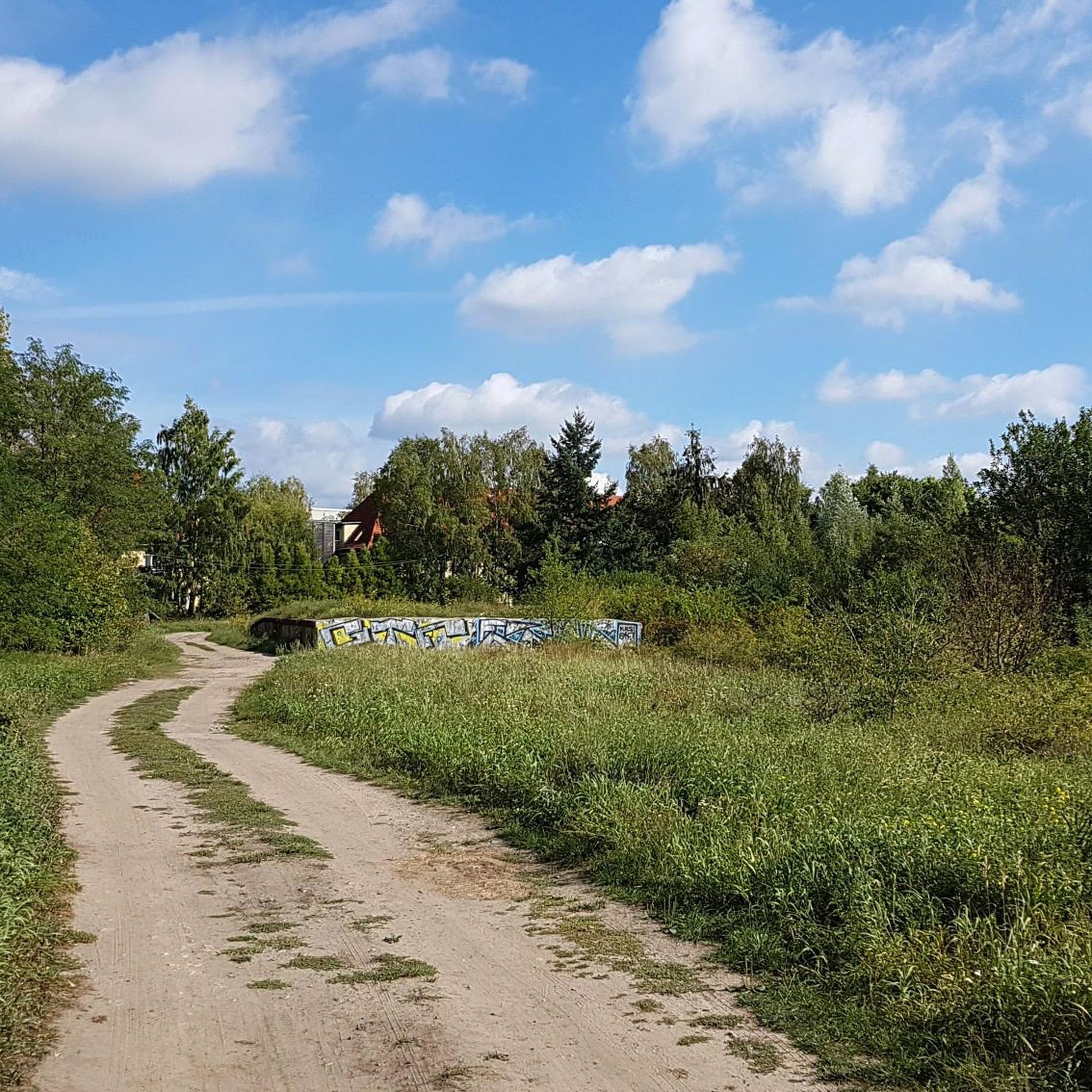
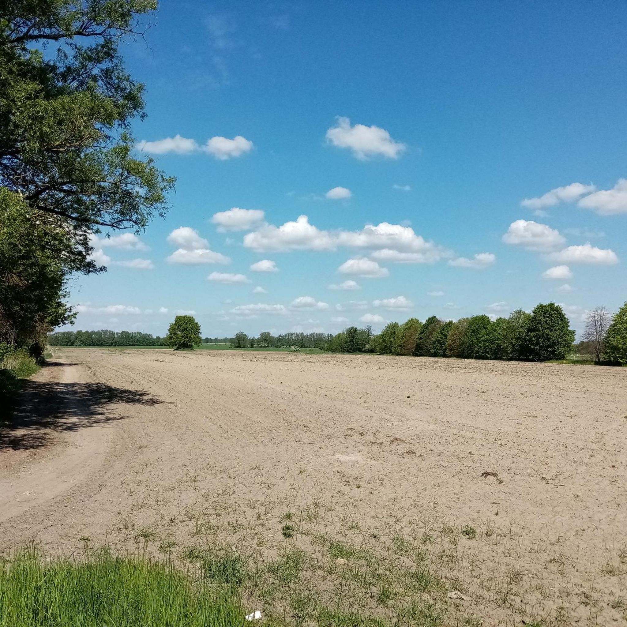
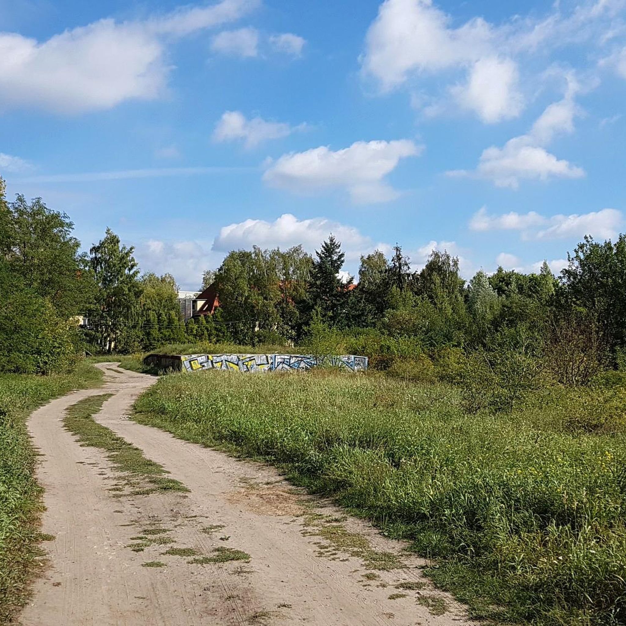
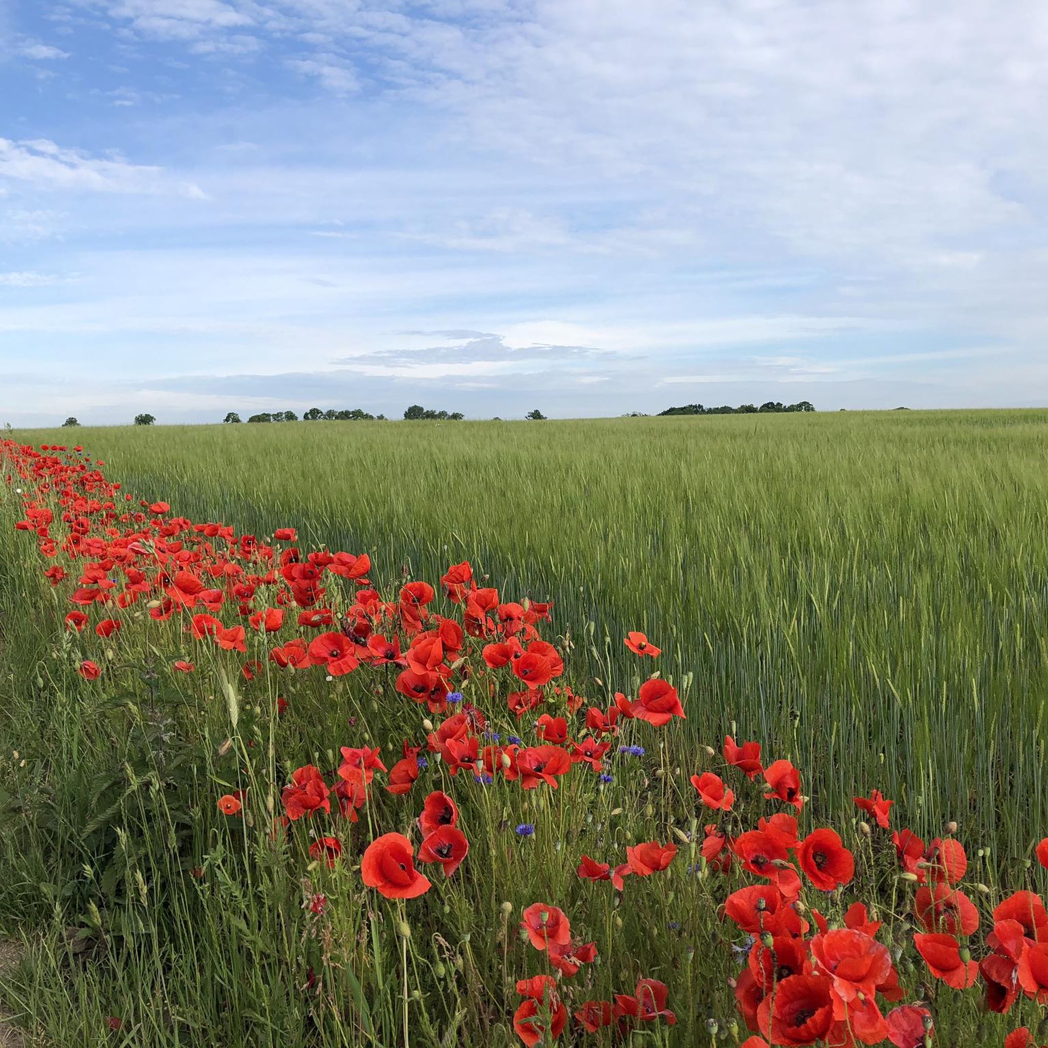
Tips from the Community

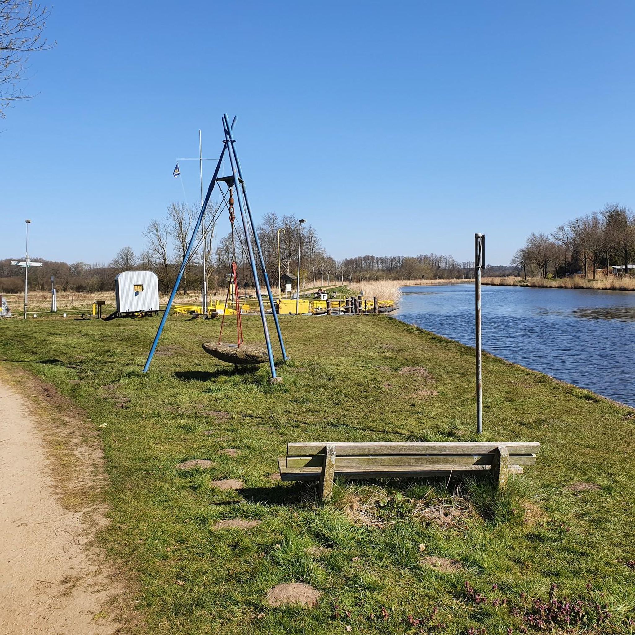
The Wiegehäuschen in Katerbow used to be a public village scale. Agricultural yields, animals, and loaded and unloaded carts were weighed here. The weight difference determined the value of goods and formed the basis for trade, duties, and taxes – a central institution in village life.
0
0

Didn't see any eggs 😅😅
0
0

Very nice family, great dog, lots of information, good oil and wonderful pizza
1
0
Wild orchard and berry bushes along the way
1
0

This newly created hiking trail between Katerbow and Netzeband is still in the making. Various old fruit varieties are planted here
8
0

I've always known. The Brandenburgers are way ahead of their time. Here is the implemented design of the first tiny house in history ... ;-)
2
0
Although it is right on the road, it is a beautiful lake that can be easily circled for a long walk. It now belongs to the Landhotel Märkische Höfe and will probably be more closely involved in the development of this region in the future.
2
0
Ideal place for a short rest with a great view over wide fields.
1
0
Frequently Asked Questions
How many hiking trails are available in Märkisch Linden?
Märkisch Linden offers a wide range of hiking opportunities, with over 370 routes recorded on komoot. These trails cater to various skill levels, from easy strolls to more challenging hikes.
What is the best time of year to go hiking in Märkisch Linden?
The most favorable time for hiking in Märkisch Linden is typically between May and September. During these months, the weather is generally pleasant, allowing you to fully enjoy the region's lush green forests and picturesque lakes.
Are there easy hiking trails suitable for beginners or casual walkers?
Yes, Märkisch Linden has plenty of easy trails. More than 210 routes are classified as easy, making them perfect for beginners or those looking for a relaxed walk. An example is the Katerbower See loop from Katerbower Mühle, which is an easy 3.3-mile path offering views of Katerbower See.
What kind of terrain can I expect on the hiking trails in Märkisch Linden?
The hiking trails in Märkisch Linden feature diverse natural landscapes. You can expect to traverse lush green forests, walk along the shores of numerous picturesque lakes, and encounter the gentle hills characteristic of the Ostprignitz-Ruppin region. The area is known for its glacial landscapes with varied paths, from well-maintained hiking trails to farm roads and narrow tracks.
Are there any family-friendly hiking options in Märkisch Linden?
Many of the easy and moderate trails in Märkisch Linden are suitable for families. The region's gentle terrain and scenic lakes provide a pleasant environment for walks with children. Consider routes that are shorter in distance and have minimal elevation gain for a comfortable family outing.
Can I bring my dog on the hiking trails in Märkisch Linden?
Märkisch Linden is generally dog-friendly, with many trails suitable for walks with your canine companion. It's always advisable to keep dogs on a leash, especially in nature reserves or areas with wildlife, and to check local regulations for specific trails or parks.
What natural features or landmarks can I see while hiking in Märkisch Linden?
While hiking, you can explore several notable natural features and landmarks. The region is home to the extensive Ruppiner See lake, the longest in Brandenburg. You might also encounter highlights such as Ruppiner Lake near Treskow, Lake Tornow, or the Kochquelle (Boiling Spring). The area is rich with picturesque lakes and dense forests.
Are there any circular hiking routes in Märkisch Linden?
Yes, Märkisch Linden offers numerous circular hiking routes, perfect for starting and ending your journey at the same point. An example is the Schafdammgraben (Eiersuppe) – Heathland Near Storbeck loop from Storbeck, a 6.9-mile trail through heathland and forested areas.
What do other hikers say about the trails in Märkisch Linden?
The hiking trails in Märkisch Linden are highly regarded by the komoot community, holding an average rating of 4.5 stars from over 1,900 reviews. Hikers often praise the diverse natural landscapes, the tranquility of the forests, and the beauty of the lakes.
What is the typical length and duration of hikes in Märkisch Linden?
Hikes in Märkisch Linden vary in length and duration. You can find shorter, easy walks like the Heathland Near Storbeck loop from Storbeck, which is about 3.4 miles and takes around 1 hour 20 minutes. Longer, moderate trails, such as the Katerbow–Netzeband Trail – The Katerbow Oil Mill loop from Katerbower Mühle, can be around 5.4 miles and take over 2 hours.
Are there any viewpoints or scenic spots along the trails?
Yes, the region offers several scenic spots and viewpoints. The natural landscape, characterized by lakes and gentle hills, provides many opportunities for picturesque views. You might find viewpoints such as Neuruppiner Bollwerk or the Sielmann Observation Tower Kyritz-Ruppiner Heide, offering expansive vistas of the surrounding nature.
Are there options for public transport or parking near the trailheads?
While specific details for every trailhead vary, Märkisch Linden is generally accessible. Many routes start near villages or towns where parking facilities are available. For public transport, it's recommended to check local bus or train schedules to see which trailheads are reachable, especially if you plan to explore the broader Ostprignitz-Ruppin region.
Most popular attractions around Märkisch Linden

Get inspired with the komoot mobile app


Explore more
Browse the best Hikes in other regions.
