The best traffic-free bike rides around Órgiva
4.5
(83)
1,438
riders
13
rides
No traffic touring cycling routes around Órgiva are set within the Alpujarra region of Andalusia, characterized by mountainous terrain, green rolling hillsides, and deep valleys. The area is flanked by the Sierra Nevada to the north and the Sierra Lújar mountain range to the south, providing varied backdrops for cycling. The fertile Guadalfeo River valley features picturesque olive, lemon, and orange groves, adding to the diverse landscape. This region offers a mix of challenging ascents and rewarding descents for touring…
Last updated: July 2, 2026
5.0
(6)
64
riders
38.2km
02:57
1,030m
1,030m
Hard bike ride. Very good fitness required. Mostly paved surfaces. Suitable for all skill levels.
5.0
(1)
15
riders
46.0km
04:36
1,410m
1,410m
Hard bike ride. Very good fitness required. Mostly paved surfaces. Suitable for all skill levels.

Sign up for free
5.0
(1)
14
riders
22.6km
01:53
500m
500m
Hard bike ride. Very good fitness required. Mostly paved surfaces. Suitable for all skill levels.
7
riders
51.9km
05:25
1,620m
1,620m
Hard bike ride. Very good fitness required. You may need to push your bike for some segments of this route.
8
riders
38.9km
03:09
1,190m
1,190m
Hard bike ride. Very good fitness required. Mostly paved surfaces. Suitable for all skill levels.
Get access to more routes and recommendations from other explorers.
Sign up for free
Already have an account?
Our route recommendations are based on thousands of hikes, rides, and runs completed by other people on komoot.
Start today with a free account
Your next adventure awaits.
Login or Signup
Popular around Órgiva

On the road to the sun — bikepacking to southeast Spain
From the Alcazaba to the Alcazar – an Andalusian Adventure
The challenge of the south - Routes through Sierra Nevada
Among white villages - Path of the Alpujarra (GR 142)
Lanjarón to Trevélez – five days in the Alpujarra of Granada

Traffic-free bike rides around Órgiva

Traffic-free bike rides around Órgiva
Other adventures around Órgiva


Tips from the Community

Órgiva is a charming Spanish municipality located in the province of Granada, in Andalusia, and is historically considered the capital and administrative center of the western Alpujarra. This town of about 6,000 inhabitants stands at an altitude of 450 meters in the fertile valley of the Guadalfeo River, right at the foot of the Sierra Nevada Natural Park.
0
0

The Tello forest refuge is a basic refuge located in a privileged place: a strategic enclave from which you can see both the Cerro del Caballo, to the north, and the Mediterranean and Salobreña, to the south. There is a spring and outside you can also camp if there is no space inside.
1
0

The emergency shelter on the side of the corner lives up to its name. At the window, the wind blows the rain in, but you can block it with bricks. In return, you no longer have any light. There is space for a maximum of three people. But at least it's better than setting up a tent in the rain.
0
0

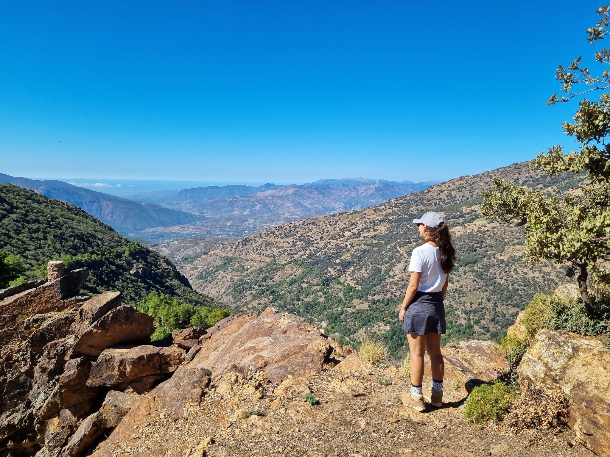
Magnificent views of the entire mountain landscape with deep valleys from the southeast to far to the west,
1
0

Murals with Scenes and Names of Villages Each mural depicts typical scenes of the Alpujarra villages, with white houses, churches, and landscapes, accompanied by the village's name in large letters. The most prominent is the mural with the word "Órgiva" and an image of its twin-towered church.
8
0
In Órgiva, the tile murals dedicated to the villages of the Alpujarra region are located in the Plaza de la Alpujarra, an emblematic space in the town center. Ceramic Map of the Alpujarra This large tile mural displays a detailed map of the region, including villages such as Lanjarón, Pampaneira, Bubión, Capileira, Trevélez, Cádiar, and Torvizcón, among others. The design includes rivers, mountains, and roads, making it an ideal tool for orientation and route planning.
9
0
Murals with Scenes and Names of Villages Each mural depicts typical scenes of the Alpujarra villages, with white houses, churches, and landscapes, accompanied by the village's name in large letters. The most prominent is the mural with the word "Órgiva" and an image of its twin-towered church.
9
0
In Órgiva, the tile murals dedicated to the villages of the Alpujarra region are located in the Plaza de la Alpujarra, an emblematic space in the town center. Ceramic Map of the Alpujarra This large tile mural displays a detailed map of the region, including villages such as Lanjarón, Pampaneira, Bubión, Capileira, Trevélez, Cádiar, and Torvizcón, among others. The design includes rivers, mountains, and roads, making it an ideal tool for orientation and route planning.
9
0
Frequently Asked Questions
How many no-traffic touring cycling routes are available around Órgiva?
There are nearly 40 dedicated no-traffic touring cycling routes around Órgiva. This region is renowned for its well-paved, low-traffic roads, making it an ideal destination for a peaceful cycling experience.
What is the typical terrain and difficulty level for no-traffic touring cycling routes in Órgiva?
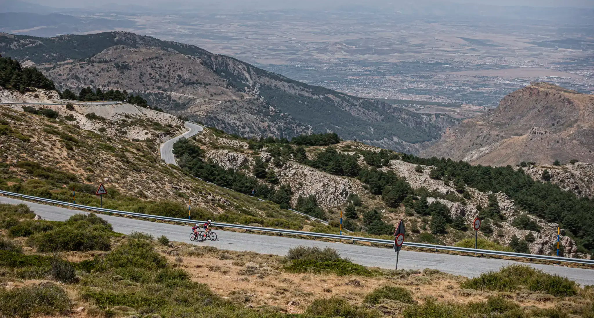
The terrain around Órgiva is predominantly mountainous, offering challenging ascents and rewarding descents. Most of the routes are classified as difficult, featuring significant elevation gains as you navigate the green rolling hillsides and deep valleys between the Sierra Nevada and Sierra Lújar mountain ranges.
What natural features or landmarks can I expect to see on these no-traffic touring routes?
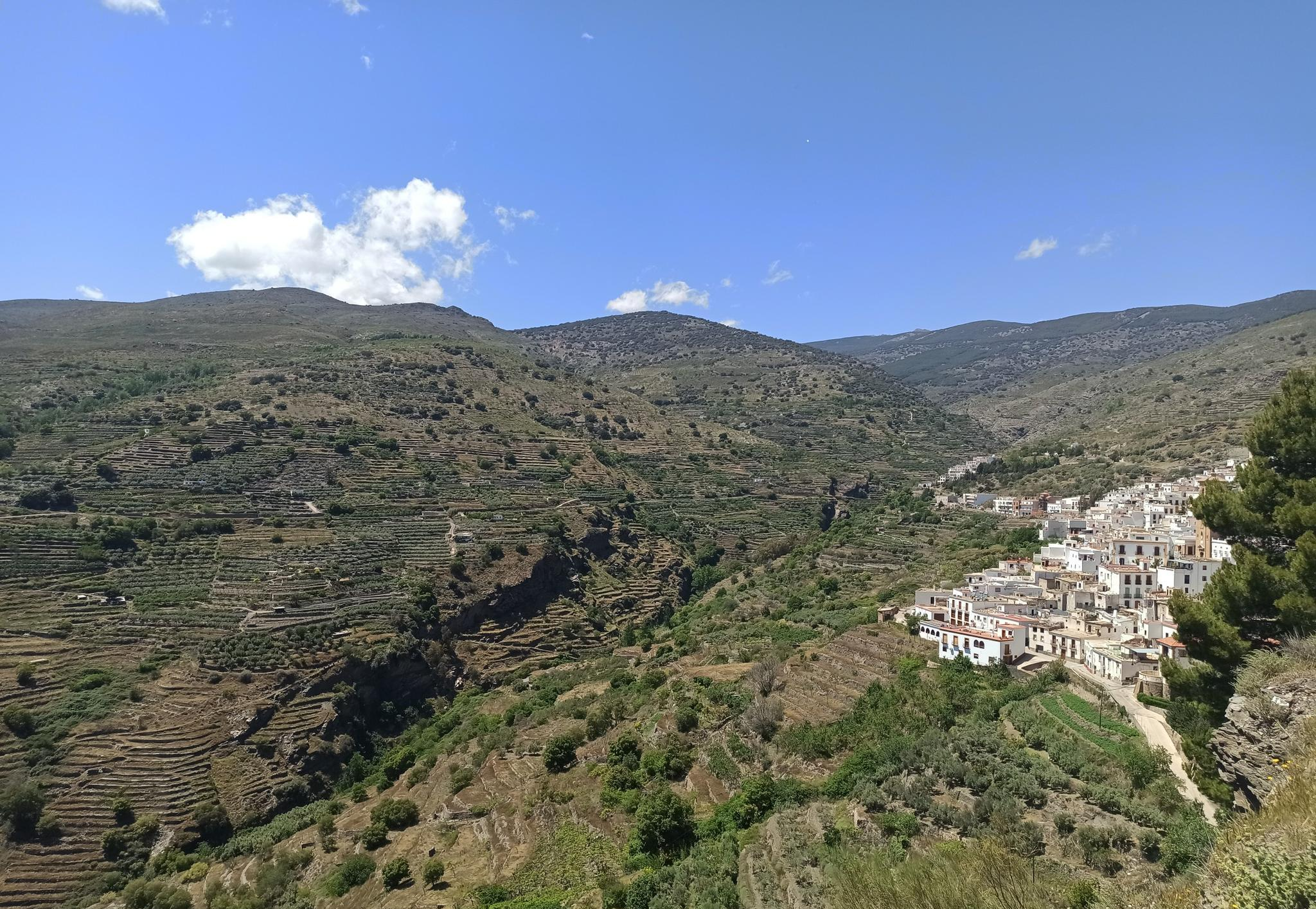
You'll encounter a diverse range of natural beauty and cultural landmarks. Many routes pass through the fertile Guadalfeo River valley, lined with picturesque olive, lemon, and orange groves. You can also experience dramatic gorges like the Poqueira Gorge, and enjoy panoramic views from spots like the Tajos del Ángel Viewpoint. The region is also home to charming white villages such as Capileira Village and Bubión Village.
Are there any circular no-traffic touring routes available from Órgiva?
Yes, many of the no-traffic touring routes around Órgiva are designed as circular loops, allowing you to start and finish in the same location. For example, the challenging View of the village of Pampaneira – Bubión Village loop from Órgiva offers a scenic return to Órgiva.
What do other touring cyclists enjoy most about cycling in Órgiva?
The komoot community highly rates the touring cycling experience in Órgiva, with an average score of 4.7 stars. Reviewers often praise the stunning and varied natural landscapes, the network of well-maintained and traffic-light roads, and the cultural richness of the surrounding Alpujarra villages.
Are there any routes that connect the famous white villages of the Alpujarra?
Absolutely. The region is famous for its picturesque white villages, and several routes are designed to connect them. For instance, the Bubión Village – Capileira Village loop from Soportújar allows you to explore these iconic settlements and their traditional Moorish architecture.
What is the best time of year to go touring cycling in Órgiva to avoid traffic?
Órgiva benefits from a mild Mediterranean climate with ample sunshine throughout the year. While low-traffic roads are a feature year-round, spring and autumn are particularly pleasant for cycling. The weather is generally mild, and the landscapes are vibrant, offering comfortable conditions for longer rides.
Are there any routes suitable for a longer, more challenging no-traffic touring experience?
For experienced cyclists seeking a significant challenge, routes like the Bike loop from Órgiva cover over 45 km with substantial elevation gain. The region is known for routes that ascend over 2,000 meters, providing demanding yet rewarding experiences.
Can I find any interesting historical sites or caves along the no-traffic routes?
Yes, the area is rich in history and natural formations. You might encounter historical sites like the 16th-century Molino de Benizalte olive mill. For those interested in caves, highlights such as the Olías Caves and the Cave of the Doves are nearby and can be explored as part of your cycling adventure.
Are there any routes that offer views of the Sierra Nevada mountains?
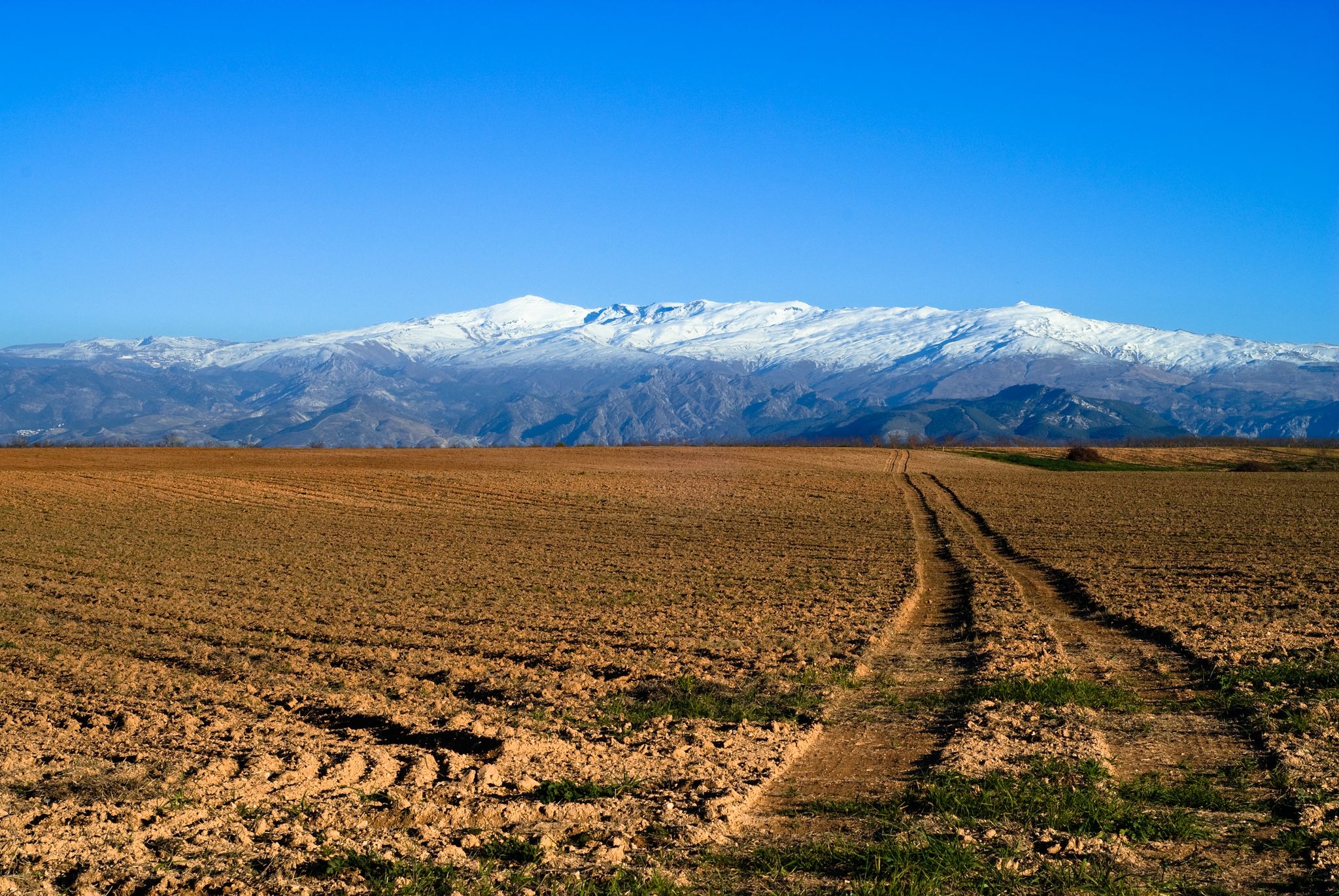
Many routes in the Órgiva area provide breathtaking views of the Sierra Nevada. The region's location, nestled between the Sierra Nevada and Sierra Lújar, ensures that panoramic mountain vistas are a common and spectacular feature of your no-traffic touring cycling journey.
Most popular attractions around Órgiva

Get inspired with the komoot mobile app


Explore more
Browse the best Cycling routes in other regions.
