The best traffic-free bike rides around Misterton
4.6
(54)
732
riders
50
rides
No traffic touring cycling routes around Misterton are characterized by the flat, wide valleys of the River Trent and River Idle, which define the region's geography. The terrain is predominantly flat, featuring expansive arable land and the fenland of Misterton Carr, part of the Humberhead Levels. This creates an open environment with generally gentle cycling conditions. Routes often utilize mostly paved surfaces, following scenic waterways like the Trent Valley Way and the Cuckoo Way.
Best no traffic touring cycling routes…
Last updated: July 15, 2026
5.0
(4)
18
riders
66.7km
04:04
510m
510m
Hard bike ride. Very good fitness required. Mostly paved surfaces. Suitable for all skill levels.
6
riders
51.0km
03:12
500m
500m
Hard bike ride. Very good fitness required. Mostly paved surfaces. Suitable for all skill levels.
2
riders
19.4km
01:21
330m
330m
Moderate bike ride. Good fitness required. Mostly paved surfaces. Suitable for all skill levels.
Get access to more routes and recommendations from other explorers.
Sign up for free
Already have an account?
Our route recommendations are based on thousands of hikes, rides, and runs completed by other people on komoot.
Start today with a free account
Your next adventure awaits.
Login or Signup
Popular around Misterton

Other adventures around Misterton

Tips from the Community

Muchelney Abbey is a fabulous stop over!
0
0

The pub is no longer open but there is also a Post Office /Village shop in the centre.
0
0


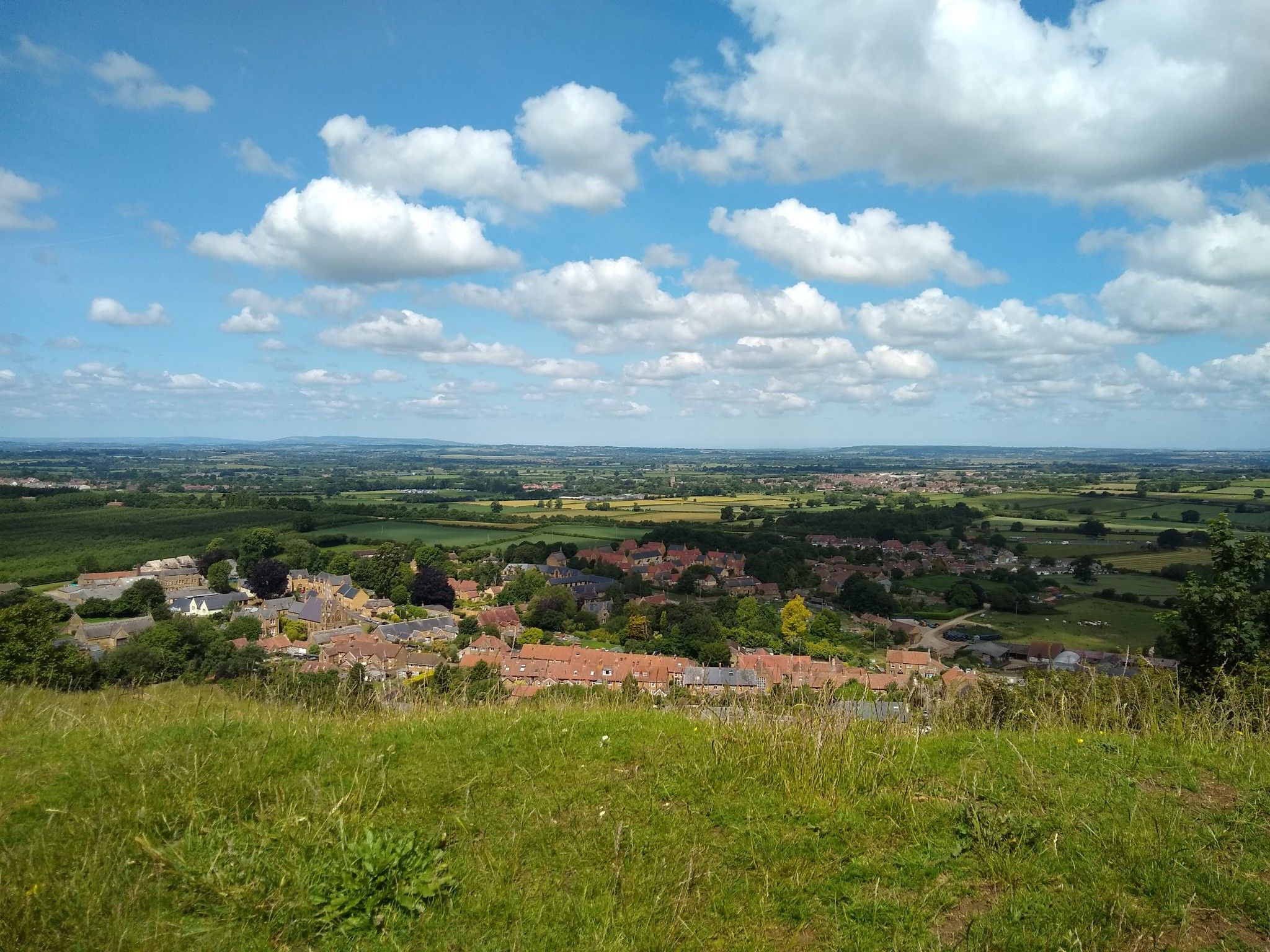
Fascinating Ham Hill is well worth a visit, being at once a geological Site of Special Scientific Interest, a Scheduled Ancient Monument, an Iron Age hill fort, a Roman site, a Local Nature Reserve and a country park.
0
0
The Somerset Levels cover an area of around 160,000 acres of low-lying farmland and wetland. Once a coastal plain, the area is a haven for wildlife, including rare white storks which can be seen in the wild here after a successful reintroduction project.
0
0

Hollow Lane is a great example of a Hollow Way, a sunken lane typical of this area of the country. These ancient lanes are cut into the landscape but we're not entirely sure why. It could be simply due to erosion by booth people and animals over 100s of years, exacerbated by water run off. They may also have been cut initially to make animal heading easier and to provide protection from the weather. What ever the cause they make for very atmospheric riding!
0
1

Currently open: Wed 14.00-16.30 Thu & Fri 10.00-16.30 Sat 10.00-13.00
0
0
Frequently Asked Questions
How many no-traffic touring cycling routes are available around Misterton?
There are over 50 dedicated touring cycling routes around Misterton that focus on minimizing traffic, providing a serene cycling experience. These routes cater to various skill levels, from easy to difficult.
What is the typical terrain and elevation like on Misterton's no-traffic cycling routes?
Misterton's routes are characterized by the flat, wide valleys of the River Trent and River Idle, making for generally gentle cycling conditions. While the terrain is predominantly flat, some routes can include elevation gains up to 250 meters, offering a moderate challenge. The area features expansive arable land and fenland, providing open and scenic views.
Are there family-friendly no-traffic touring cycling routes in Misterton?
Yes, Misterton offers several routes suitable for families. The generally flat terrain along waterways like the Trent Valley Way and the Cuckoo Way (following the Chesterfield Canal) provides accessible and enjoyable rides. Look for routes categorized as 'easy' or 'moderate' for the most family-friendly options.
What kind of natural features and landmarks can I expect to see along these routes?
Cyclists can enjoy a blend of natural beauty and historical sites. You'll pass by the serene fenland of Misterton Carr, the River Trent, and the River Idle. Notable landmarks include the historic Old Rectory, local canal basins, and the iconic North Leverton Windmill. For specific natural monuments, consider exploring highlights like Pilsdon Pen Summit and Trig Point or Ham Hill Country Park.
What are some recommended no-traffic touring cycling routes for different difficulty levels?
For a moderate challenge, consider the Bike loop from Crewkerne, which covers 19.5 km with a moderate elevation gain. If you're looking for a more difficult and longer ride, the North Curry Village Square – Somerset Levels loop from Crewkerne offers a 66.6 km journey with significant elevation.
What is the best time of year to go touring cycling in Misterton?
The spring and summer months generally offer the most pleasant conditions for touring cycling in Misterton, with milder weather and longer daylight hours. Autumn can also be beautiful with changing foliage, though you should be prepared for cooler temperatures and potentially more rain. The flat terrain makes it accessible for cycling in various seasons, but always check local weather forecasts.
Are there any circular no-traffic touring cycling routes in the Misterton area?
Yes, many of the touring cycling routes around Misterton are designed as loops, allowing you to start and end at the same point. This is convenient for those using personal vehicles. Examples include the Bike loop from Crewkerne. You can filter for circular routes on komoot to find more options.
What do other touring cyclists enjoy most about the no-traffic routes in Misterton?
The no-traffic touring cycling routes in Misterton are highly regarded by the komoot community, with an average score of 5.0 stars from several reviews. Cyclists often praise the peaceful, open landscapes, the well-maintained paved surfaces along waterways, and the blend of natural beauty with historical points of interest like the North Leverton Windmill.
Are there options for parking near the starting points of these no-traffic routes?
While specific parking locations are not detailed for every route, many touring cycling routes in Misterton start from villages or towns that offer public parking facilities. It's advisable to check the route details on komoot for information on recommended starting points and potential parking options before you set out.
Can I find cafes or pubs along the no-traffic touring cycling routes in Misterton?
The routes often pass through or near local villages and towns, which typically offer amenities like cafes, pubs, and shops. While the routes themselves focus on quiet roads, you'll find opportunities to stop for refreshments in places like Gringley on the Hill or West Stockwith, which are common starting or passing points for these tours.
Most popular attractions around Misterton

Get inspired with the komoot mobile app


Explore more
Browse the best Cycling routes in other regions.
