The best hikes from bus stations around Market Lavington
4.6
(477)
5,763
hikers
108
hikes
Bus station hiking trails around Market Lavington offer access to the diverse landscapes of Wiltshire, situated at the foot of the northwestern scarp slope of Salisbury Plain. The region features rolling chalk downlands, expansive open plains, and pockets of woodland. Hikers can explore the unique environment of chalk uplands, with trails providing views across the Vale of Pewsey and ascents onto features like Lavington Hill.
Best bus station hiking trails around Market Lavington
- The most popular bus station hiking route…
Last updated: July 1, 2026
5.0
(1)
4
hikers
5.60km
01:29
60m
60m
Easy hike. Great for any fitness level. Easily-accessible paths. Suitable for all skill levels.
5.0
(1)
2
hikers
6.22km
01:38
50m
50m
Easy hike. Great for any fitness level. Easily-accessible paths. Suitable for all skill levels.

Sign up for free
5
hikers
Moderate hike. Good fitness required. Easily-accessible paths. Suitable for all skill levels.
2
hikers
7.79km
02:06
100m
100m
Moderate hike. Good fitness required. Easily-accessible paths. Suitable for all skill levels.
Get access to more routes and recommendations from other explorers.
Sign up for free
Already have an account?
Our route recommendations are based on thousands of hikes, rides, and runs completed by other people on komoot.
Start today with a free account
Your next adventure awaits.
Login or Signup
Popular around Market Lavington



Tips from the Community

mix of gravel and road best on a mountain bike
0
0

Directly behind REDHORN Vedette building. The path is a bridleway when the flags are down.
0
0

This Byway is outside the active range area and is not subject to the Red Flag restrictions, so enjoy anytime.
0
0
There is a large military training area north of Stonehenge. Comes also suggests paths that lead through this area. However, you can't always drive through here. Watch out for the red flags. If these hurt, then you have to choose another path.
0
0

A great bit of gravel, rolling hills along the north ridgeline of Imber Reange and Salisbury Plain. Not affected by the red flags on the range
0
0

Enjoyable riding with glorious, far-reaching views. Hard work in a headwind. Do not access the byways when the red flags are flying and the danger signs ('live firing' or 'no public entry') are displayed.
0
0

Aside from the staggering views, one of the most fascinating things about hiking on Salisbury Plain is the military influence on the area. An active military training area with public rights of way, you'll often come across oddities and fascinating sites. Redhorn vedette post is a sentry post with an information board and bollards from from shell casings, which is certainly an interesting kind of upcycling.
0
0

Gravel track to the top via the back of Dauntsey's school, the track down to West Lavington is mostly chalk and washed away in places making it more mountain biking than gravel biking
0
0
Frequently Asked Questions
How many bus station hiking trails are available around Market Lavington?
There are over 100 hiking trails accessible from bus stations around Market Lavington. These routes offer a variety of experiences, from easy strolls to more challenging moderate hikes, allowing you to explore the diverse landscapes of the region.
What kind of terrain can I expect on bus station hikes near Market Lavington?
Hikes from Market Lavington bus stations typically traverse the rolling chalk downlands and expansive open plains characteristic of the northern edge of Salisbury Plain. You'll encounter varied terrain, including some ascents onto the downland offering far-reaching views, as well as paths through pockets of woodland and into the picturesque Vale of Pewsey.
Are there easy bus station hikes suitable for beginners in Market Lavington?
Yes, Market Lavington offers numerous easy bus station hikes perfect for beginners or those looking for a relaxed walk. One such option is the St. Arbucks – Nice View loop from Market Lavington, which is just under 6 km and features gentle elevation changes, providing a pleasant introduction to the local scenery.
Can I find circular walks starting from the Market Lavington bus station?
Many of the routes accessible from Market Lavington bus stations are circular, allowing you to start and end your hike at the same point without needing to arrange transport back. For example, the St. Arbucks loop from Market Lavington is an easy 6.2 km circular route that showcases the local countryside.
Are the bus station hiking trails around Market Lavington suitable for families?
Yes, many bus station trails around Market Lavington are suitable for families. The area's extensive network of footpaths includes easier, shorter loops that are ideal for walks with children. These routes often pass through open countryside, offering plenty of space to explore. Always check the specific route details for distance and elevation to ensure it matches your family's capabilities.
Are the bus station trails around Market Lavington dog-friendly?
Most of the public footpaths and bridleways around Market Lavington are dog-friendly, making them great for walks with your canine companion. However, as many routes cross farmland, especially on Salisbury Plain, it's crucial to keep dogs on a lead, particularly near livestock. Always follow the Countryside Code and respect local signage.
What natural features or viewpoints can I see on bus station hikes near Market Lavington?
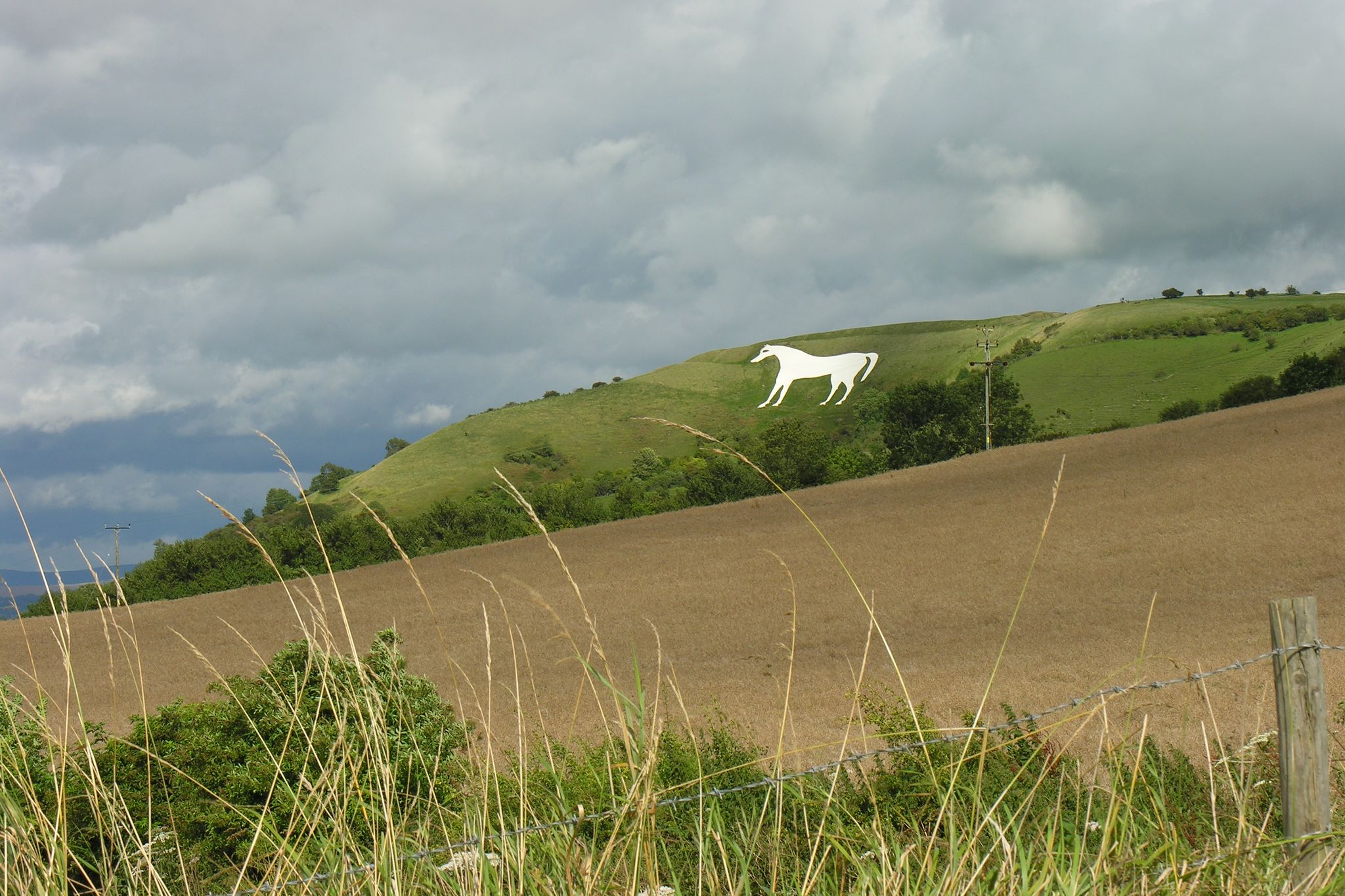
Hikes from Market Lavington bus stations offer access to stunning natural features and viewpoints. You can experience the unique environment of chalk uplands with expansive vistas across Salisbury Plain. Nearby attractions include the iconic Westbury White Horse, carved into the hillside, and the ancient Cursus Barrows. Some routes also lead to elevated points like Lavington Hill, providing excellent panoramic views.
Are there any historical sites accessible from bus station hikes in Market Lavington?
Yes, the Market Lavington area is rich in history, and many bus station hikes follow ancient tracks that have been used for centuries. You can find sections of the historic Wessex Ridgeway and the White Horse Trail, which offer glimpses into prehistoric and Roman times. While not directly on these specific bus station routes, the world-renowned Stonehenge is also a significant historical site in the wider region.
Can you recommend a moderate bus station hike with good views?
For a moderate hike with excellent views, consider the Redhorn Hill Byway – Salisbury Plain Perimeter Path loop from Market Lavington. This 12.1 km route takes you onto Salisbury Plain, offering a more challenging experience with rewarding vistas across the vast chalk plateau and surrounding countryside.
What do other hikers say about the bus station trails in Market Lavington?
The bus station trails around Market Lavington are highly regarded by the komoot community, with an average rating of 4.6 stars from over 440 reviews. Hikers frequently praise the peaceful countryside, the well-maintained footpaths, and the diverse scenery that ranges from open downland to charming village surroundings. Many appreciate the accessibility of these routes via public transport.
What is the best season for hiking from Market Lavington bus station?
The best seasons for hiking from Market Lavington bus station are generally spring and autumn. In spring, the downlands burst with wildflowers, and the weather is typically mild. Autumn offers beautiful changing foliage and comfortable temperatures. Summer can be pleasant, but paths may be exposed to the sun, while winter can be muddy on some trails, though crisp, clear days offer stunning views.
Most popular routes around Market Lavington
Most popular attractions around Market Lavington

Get inspired with the komoot mobile app


Explore more
Browse the best Hikes in other regions.
