Attractions and Places To See around Ciśniańsko-Wetliński Park Krajobrazowy - Top 20
Best attractions and places to see around Ciśniańsko-Wetliński Park Krajobrazowy are found within the Western Bieszczady Mountains in southeastern Poland. This region is characterized by parallel mountain ranges, dense Carpathian beech forests, and river valleys with numerous gorges. It serves as a buffer zone for Bieszczady National Park and is part of the East Carpathian Biosphere Reserve. The area also features cultural heritage sites, including 19th-century wooden tserkovs characteristic of local Lemko and Boyko cultures.
Best attractions and places to…
Last updated: August 31, 2026
Greater Jaslo
Highlight • Summit
Translated by Google •
Tip by

Paportna
Highlight • Summit
Translated by Google •
Tip by

Sign up now to discover places like this
Get recommendations on the best single tracks, peaks, & plenty of other exciting outdoor places.
Sign up for free
Memorial to the Victims of the 1991 Helicopter Crash
Highlight • Monument
The three crew members and 7 accompanying police officers were killed in the crash.
pl.m.wikipedia.org/wiki/Katastrofa_lotnicza_w_okolicach_Cisnej
Translated by Google •
Tip by

Rabia Skała (1199 m)
Highlight • Summit
Translated by Google •
Tip by
Old Railway Viaduct over the Osława Rapids
Highlight • Bridge
Translated by Google •
Tip by

Sign up for free to discover even more attractions around Ciśniańsko-Wetliński Park Krajobrazowy.
Sign up for free
Already have an account?
Start today with a free account
Your next adventure awaits.
Login or Signup
Popular around Ciśniańsko-Wetliński Park Krajobrazowy

Main Beskids Trail — the longest Polish Mountain Trail
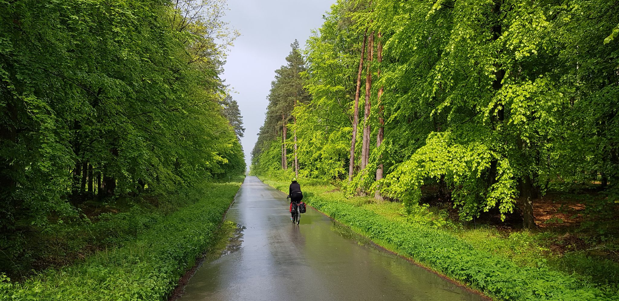
To the east, Eden – La Green Velo Szlak (part one)
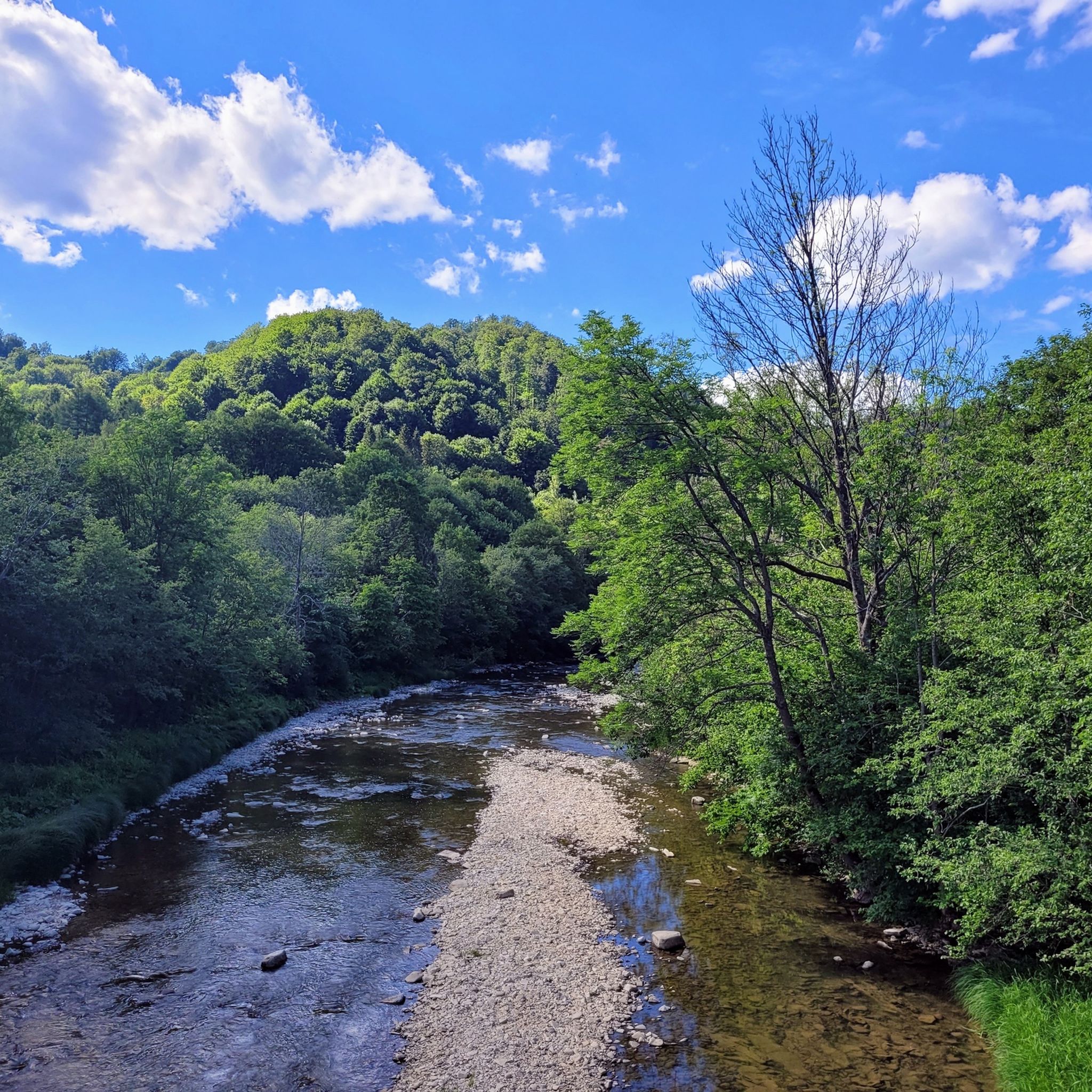
Hiking around Ciśniańsko-Wetliński Park Krajobrazowy
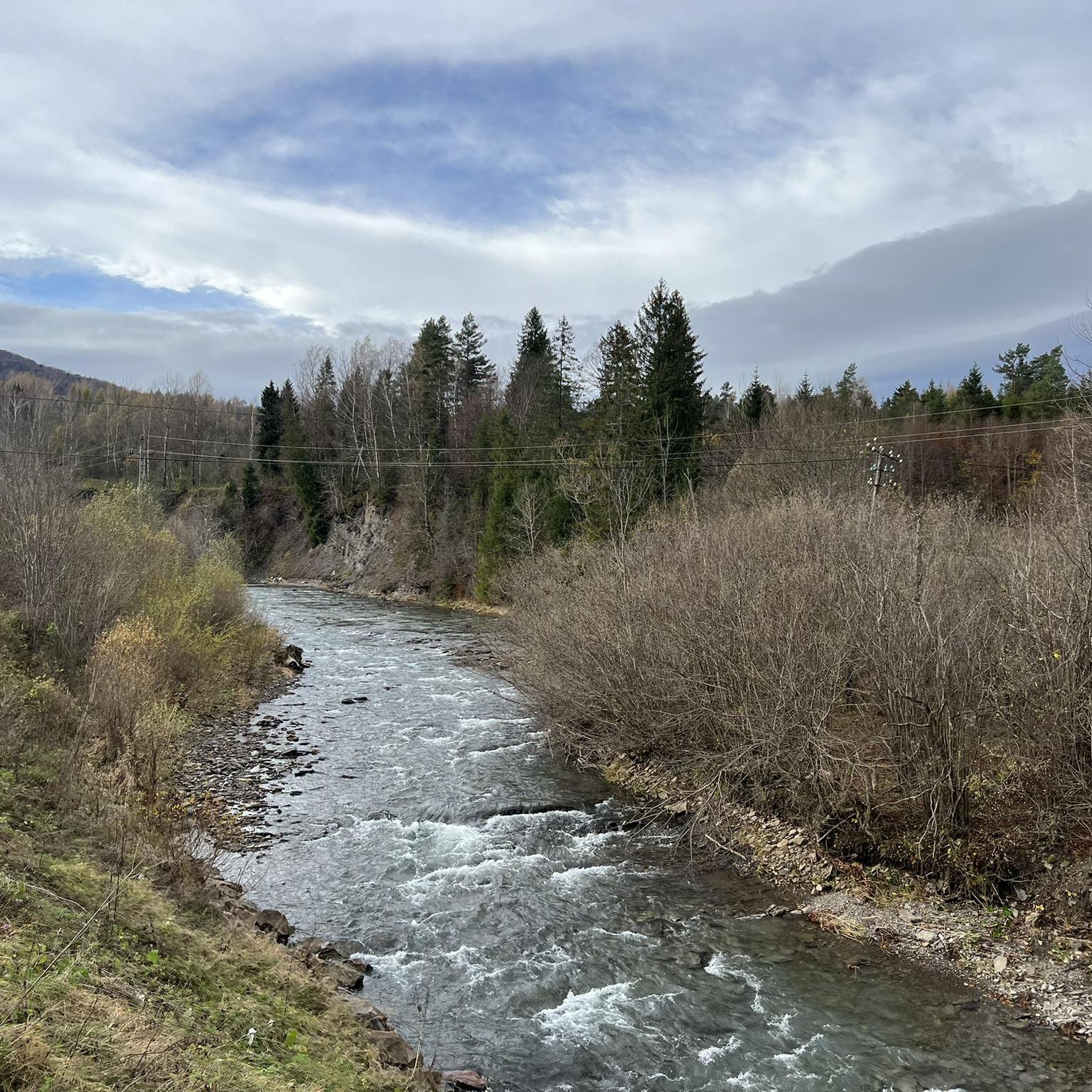
Running Trails around Ciśniańsko-Wetliński Park Krajobrazowy
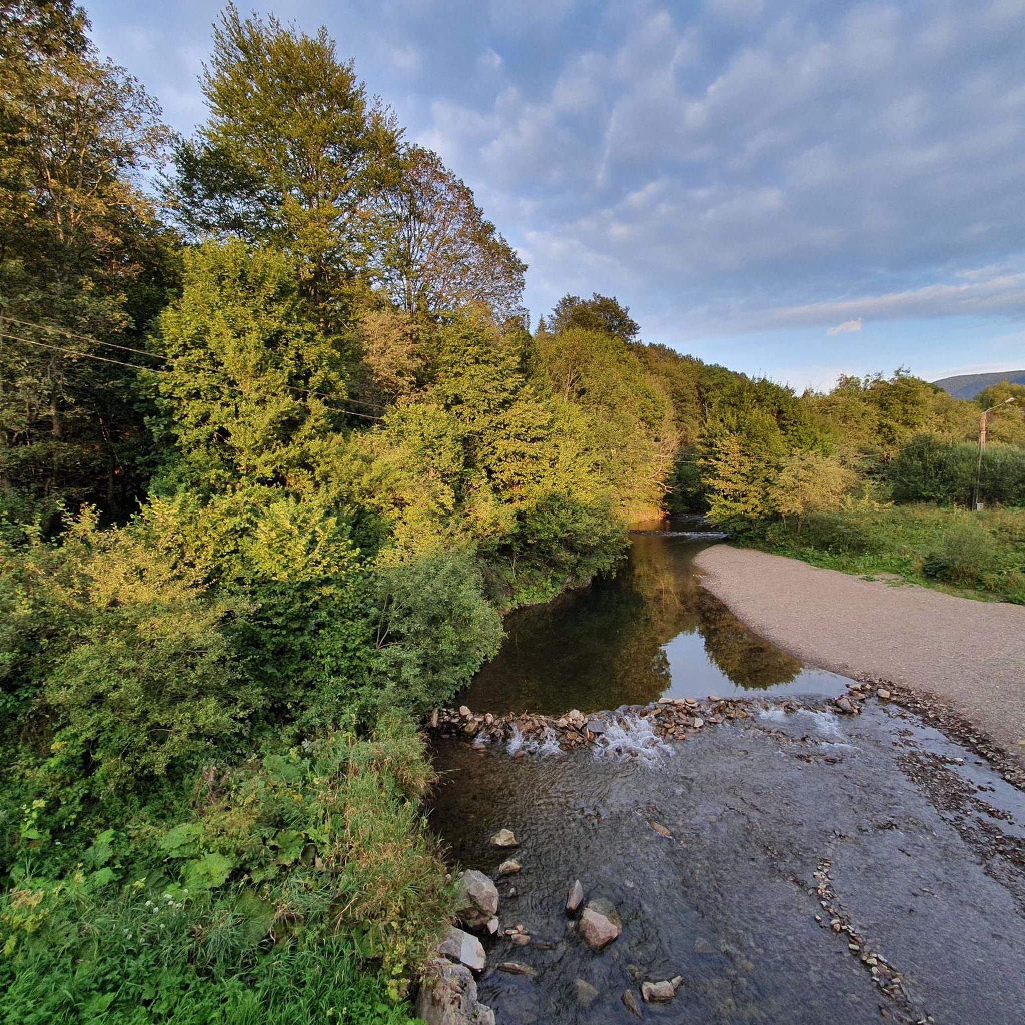
Cycling around Ciśniańsko-Wetliński Park Krajobrazowy
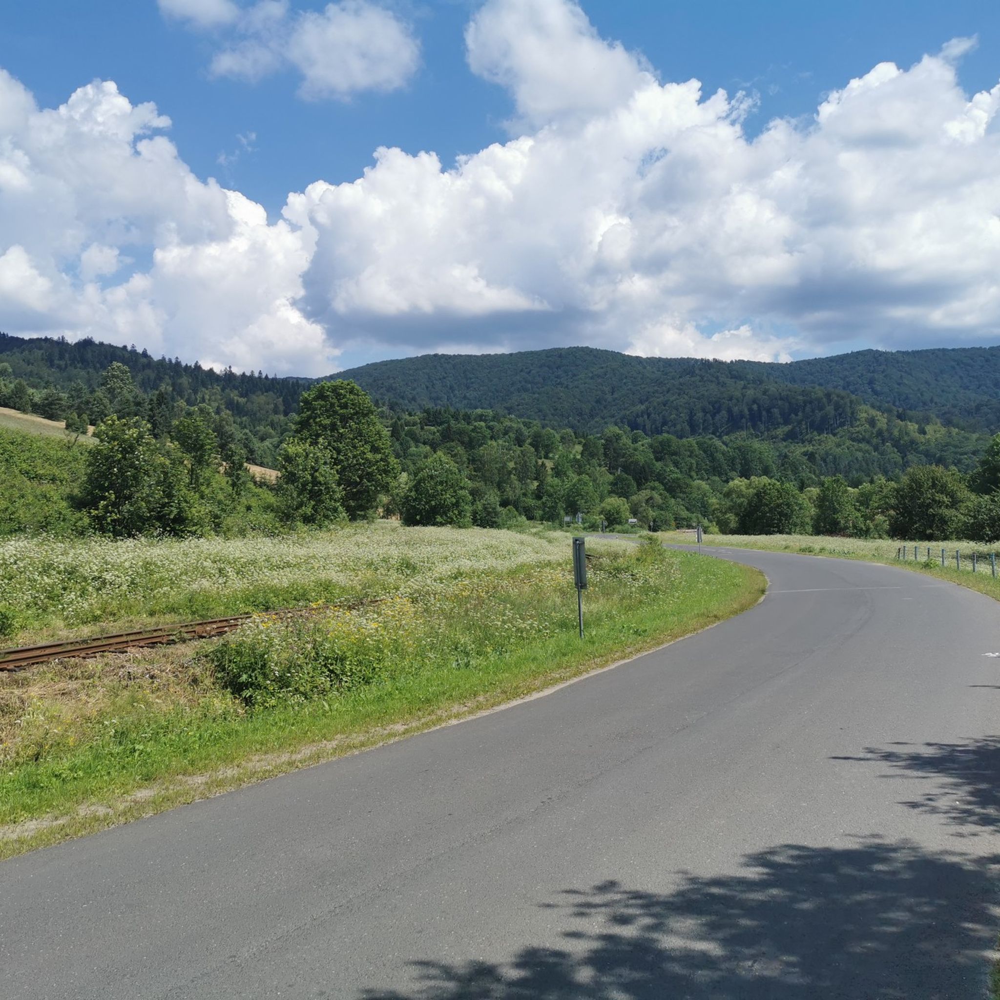
Road Cycling Routes around Ciśniańsko-Wetliński Park Krajobrazowy
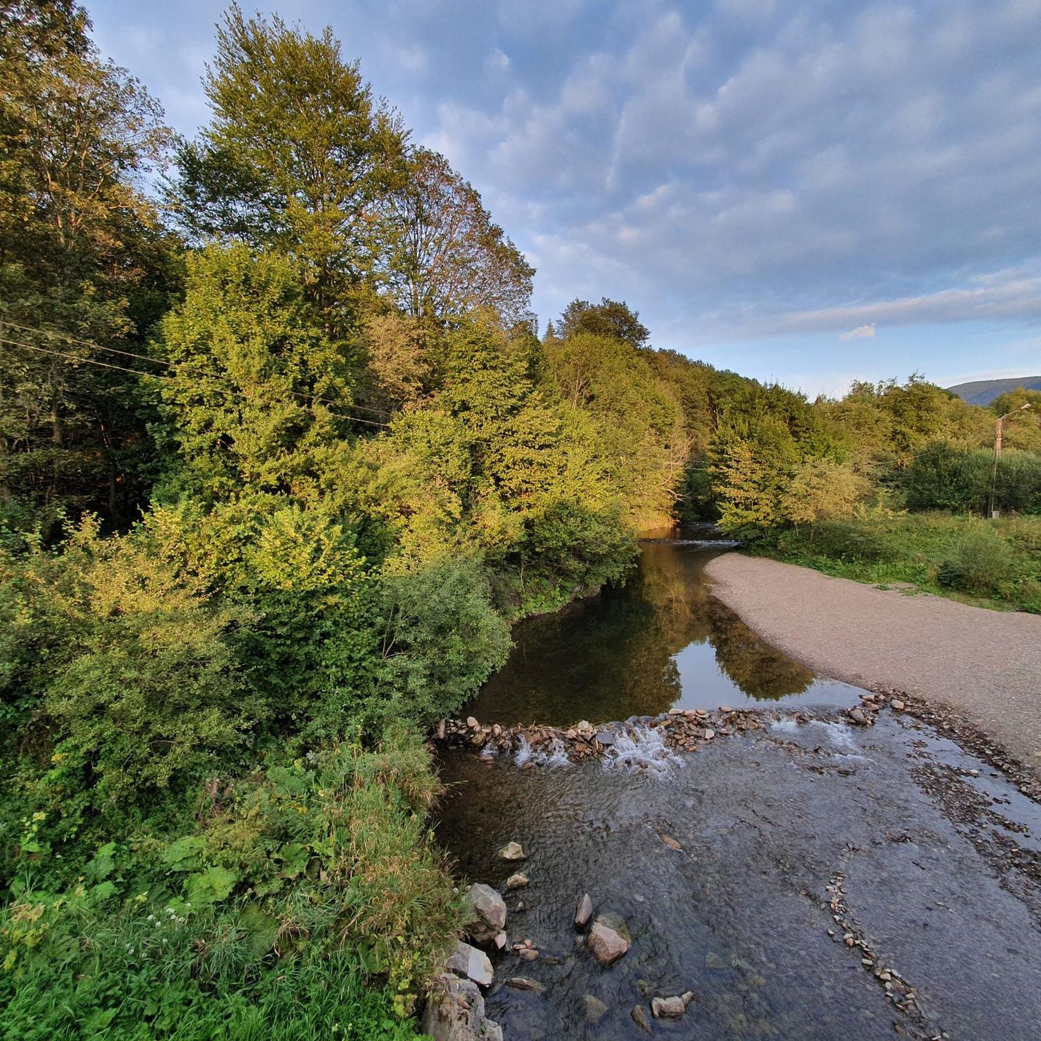
MTB Trails around Ciśniańsko-Wetliński Park Krajobrazowy

Mountain Hikes around Ciśniańsko-Wetliński Park Krajobrazowy
Gravel biking around Ciśniańsko-Wetliński Park Krajobrazowy
Other adventures around Ciśniańsko-Wetliński Park Krajobrazowy


Tips from the Community

More information: https://gdziebytudalej.pl/na-widokowe-jaslo-i-graniczny-stryb/ https://www.twojebieszczady.net/piesze/przyslup_jaslo.php https://magazynnaszczycie.pl/artykul/skiturowa-klasyka-bieszczadow-n1510246
1
0
Jasło (1153 m a.s.l.[1]) – a mountain in the Western Bieszczady Mountains, also called Wielki Jasłem in contrast to the nearby Mały Jasłem. Located within the Cisna commune in the Lesko county. This mountain, formerly called Jasiel or Wasiel, constitutes the highest culmination of the ridge stretching from Okrąglik in the border range north-westwards, towards Cisna. At the summit, there is a geodetic tower, and below it, a plaque marking the peak. The mountain slopes are covered with Carpathian beech forest and beech-fir forests, a significant part of which are old-growth stands. The clearings occurring in the summit areas were likely formed as a result of human activity. This is evidenced by the lack of stunted beech growth at the forest edge, as well as individual trees growing among the alpine meadows. The presence of these clearings provides views in all directions, including towards Slovakia. Many rare animal species live in this area, including: wolves, bears, lynxes, capercaillies. This area is an important link in the "Carpathian" ecological corridor. The Jasło mountain area is protected as part of the Ciśniańsko-Wetliński Landscape Park, it lies in the buffer zone of the Bieszczady National Park, the International Biosphere Reserve "Eastern Carpathians" and is protected within the European network of protected areas Natura 2000 Bieszczady (PLC 180001). Since 1998, successive mayors of the Cisna commune have promoted the construction of ski lifts on the slopes of Jasło, seeing it as an opportunity for economic development of the commune and for generating additional income for its residents. The planned construction of a large winter sports center in the form of three lifts 2 km long, a half-pipe for snowboarders, a summer pedestrian lift and a mountain bike lift contradicts national and EU environmental protection law. In 1998, the Provincial Commission for Nature Protection and the Scientific-Social Council of the Carpathian Landscape Parks Complex in Krosno gave a negative opinion on the possibility of locating the investment on the slopes of the mountain, which lies in the II usage zone, where such investments are not permitted, in accordance with the protection plan of the Ciśniańsko-Wetliński Landscape Park. Furthermore, investments significantly impacting the environment are not permitted in Natura 2000 areas. Information source: https://pl.wikipedia.org/wiki/Jas%C5%82o_(g%C3%B3ra)
1
0
More information: https://www.podkarpackahistoria.pl/artykul/48,katastrofa-smiglowca-pod-cisna-tragiczne-kulisy-magazynu-kryminalnego-997 https://dziejesienapodkarpaciu.pl/katastrofa-smiglowca-w-cisnej-zgineli-policjanci-i-zolnierze-na-planie-997/ https://wbieszczady.pl/aktualnosci/katastrofa-lotnicza-w-bieszczadach-czyli-dramat-posrod-ciszy-lasu/tOgbSO1fDb3Bk1xABmML
1
0
An air disaster near Cisna took place on January 10, 1991. History A Mi-8T helicopter from the 103rd Aviation Regiment of the Internal Troops of the Ministry of Internal Affairs was transporting a film crew of the "Magazyn Kryminalny 997" television program to Cisna (it was supposed to cover the case of the discovery of the body of a woman involved in currency trading in Rzeszów in Dołżyca). During the accident, there was strong wind. The aircraft crashed to the ground between Cisna and Majdan, followed by a fire. During the accident, the television crew was on the ground. The disaster killed people from the Police (officers and one civilian employee; passengers) and the crew of soldiers of the aviation of the Internal Troops of the Ministry of Internal Affairs. According to the presenter of "Magazyn Kryminalny 997", Michał Fajbusiewicz, the flight that ended in disaster was intended to circle Cisna and serve the television crew to film the area with the helicopter's camera from the air, after which the television crew was supposed to fly to Rzeszów. After takeoff, the pilot mistakenly caused a helicopter malfunction and crashed onto a forested mountainside. During the disaster, snow lay in the area. The program's crew recorded the accident with a video camera. The video tapes with previously produced television material for the program were destroyed in the disaster. The recovery of bodies from the wreckage was completed on January 11, with the participation of GOPR rescuers and soldiers of the Armed Forces of the Republic of Poland. A monument was erected at the crash site in 1992. Causes of the disaster The helicopter was flying at an altitude of about 40 meters above the Solinka riverbed. The pilot initiated a climb too late and too energetically, which caused the helicopter to stall. The helicopter hit the treetops with its tail boom, lost controllability, and consequently crashed to the ground. source of information: https://pl.wikipedia.org/wiki/Katastrofa_lotnicza_w_okolicach_Cisnej
1
0
More information: https://www.twojebieszczady.net/piesze/koronka.php https://dzikie-bieszczady.com/5-najpiekniejszych-szlakow-w-bieszczadach/
1
0
Paportna (1198 m a.s.l.) – a peak in the Western Bieszczady Mountains, located on a side ridge of the border range. This ridge connects to the main one at Riaba Skała, located about 1200 m to the south. Northeast of the main summit is a second one, with a height of 1175 m a.s.l. Steep western and eastern slopes descend to the valleys of the Chomów and Wielki Lutowy streams, respectively; the sources of the Rybnik stream are to the north. The yellow tourist trail Wetlina Stare Sioło – Riaba Skała runs through the summit. information source: https://pl.wikipedia.org/wiki/Paportna
1
0
More information: https://goryaktywnie.pl/rabia-skala https://andrzej-banach.eu/w-gorach/bieszczadzkie-poloniny/rabia-skala/ https://wbieszczady.pl/szlaki-sciezki-bezdroza/bieszczady-maja-szczyt-o-ktorym-malo-kto-wie-zobacz-co-na-ciebie-czeka/ObXdATtphNa3nUtsm1wB https://www.twojebieszczady.net/piesze/koronka.php https://bieszczady.land/rabia-skala-dla-prawdziwych-wedrowcow/#google_vignette
1
0
Riaba Skała (1199 m a.s.l.) – a peak in the border range of the Western Bieszczady Mountains, on the Polish-Slovak border. The name comes from the Ukrainian word рябий – motley. In the literature, the most commonly encountered distorted name is Rabia Skała, appearing on 19th-century Austrian maps. An alternative, correct form is Raba Skała. East of the main culmination, there is a lower (1169 m a.s.l.) summit (border marker 1/15). From the highest point, a side ridge of Paportna and Jawornik branches off to the north. From the section of the ridge between the two summits, a very steep, in places precipitous slope descends to the south, above which is a small metal viewing platform. From it, a view (approx. 145° angle) opens up to the south and southeast, onto the Slovak and partly Ukrainian part of the Bieszczady Mountains (up to Pikuj). The shortest route to Riaba Skała leads from the village of Wetlina (2.55 h). The southern slopes of the Riaba Skała ridge lie within the borders of the Slovak National Park "Połoniny", and their upper parts, down to approximately the 930 m contour line, are additionally covered by the Jarabá skala nature reserve. The northern slopes, up to the side arm of Paportna and Jawornik in the west, lie within the borders of the Polish Bieszczady National Park. The northwestern slopes of the higher (western) summit of Riaba Skała, between the main ridge running towards Dziurkowiec and the arm of Paportna and Jawornik, lie within the borders of the Ciśniańsko-Wetliński Landscape Park, and their upper parts are covered by the Dziurkowiec nature reserve. Among the rare plant species in Poland, Spiraea media, Veronicastrum longifolium, and Potentilla carpatica have been found. Information source: https://pl.wikipedia.org/wiki/Riaba_Ska%C5%82a
1
0
Frequently Asked Questions
What unique natural features can I explore in Ciśniańsko-Wetliński Park Krajobrazowy?
The park is rich in natural beauty, featuring approximately twenty peaks over 1,000 meters, including Rabia Skała and Jasło. You can also discover picturesque river valleys and gorges, particularly along the Wetlinka, Solinka, and Osława rivers. A notable natural monument is Lasumiła, known as the stoutest fir tree in Poland.
Are there any nature reserves worth visiting in the park?
Yes, the park is home to seven nature reserves. The most significant include Sine Wiry, known for its wild canyon along the Wetlina river, and Zwiezło, which features the Duszatyn Lakes formed by landslides. Another unique reserve is Olszyna łęgowa w Kalnicy, protecting a transitional peat bog and black alder.
What historical attractions can I find in the Ciśniańsko-Wetliński Park Krajobrazowy area?
The region is dotted with historical sites. A major attraction is the Bieszczady Forest Railway – Majdan Station, a historic narrow-gauge railway offering scenic rides. You can also visit the characteristic Bell tower in Terka, a remnant of a 19th-century Orthodox church, and the Old Railway Viaduct over the Osława Rapids.
Are there any cultural sites related to the local heritage?
Yes, the landscape features numerous 19th-century wooden tserkovs, characteristic of the local Lemko and Boyko cultures, in villages like Turzańsk, Smolnik, and Łopienka. Komańcza also hosts the convent of the Sisters of the Holy Family of Nazareth, with an exhibition dedicated to Cardinal Stefan Wyszyński. You can also learn about traditional industries at the Ecomuseum of Charcoal Burning in Radoszyce.
What kind of hiking trails are available in the park?
The park offers a variety of hiking trails for different fitness levels. Popular routes include the moderate trail through the Sine Wiry Nature Reserve (Polanka - Sine Wiry) and trails leading to peaks like Smerek. For more options, you can explore Mountain Hikes around Ciśniańsko-Wetliński Park Krajobrazowy, which includes routes to Wielka Rawka and Mała Rawka.
Are there any family-friendly attractions or activities?
The Bieszczady Forest Railway – Majdan Station is a popular family-friendly attraction, offering a unique experience through the forest. Additionally, there are easy hiking trails suitable for families, such as those found in the Waterfall hikes around Ciśniańsko-Wetliński Park Krajobrazowy guide, including the 'Ałtko – Ostrowski Waterfall loop'.
Where can I see waterfalls in the area?
You can visit the Ostrowski Waterfall in Wetlina. Another option is to explore the Waterfall hikes around Ciśniańsko-Wetliński Park Krajobrazowy guide, which lists routes like the 'Czartów Młyn Waterfall loop'.
What opportunities are there for cycling?
Cycling routes are available, such as the route from Cisna to the Roztoki Górne mountain pass and Ruske in Slovakia. For more detailed routes, check out the Gravel biking around Ciśniańsko-Wetliński Park Krajobrazowy guide, which includes challenging routes through the Sine Wiry Nature Reserve.
What kind of wildlife can be spotted in the park?
The extensive forested areas support a diverse animal population. You might spot large predators such as brown bears, wolves, lynxes, and wildcats. Birdwatchers can look out for golden eagles, lesser spotted eagles, short-toed snake eagles, and rock thrushes.
Are there any unique local establishments for food or drink?
Yes, Cisna is a popular local town and a good base. You can visit the Siekierezada Regional Inn, Cisna, which is known for its regional cuisine and unique atmosphere, though it can get busy.
What is the best time to visit Ciśniańsko-Wetliński Park Krajobrazowy?
The park offers attractions year-round, but the summer months are ideal for hiking and enjoying the Bieszczady Forest Train. Spring and autumn provide beautiful scenery with fewer crowds, while winter offers opportunities for snow-related activities, though some services might be limited.
Where can I see panoramic views of the landscape?
Several peaks and meadows offer expansive views. Highly recommended viewing points are from the meadows on Jasło, Fereczata, Łopiennik, Płasza (1163 m), and Dziurkowiec (1189 m). Smerek (1255m), partially within Bieszczady National Park, also provides stunning vistas from its pastures.
Most popular routes around Ciśniańsko-Wetliński Park Krajobrazowy
Most popular attractions around Ciśniańsko-Wetliński Park Krajobrazowy

Get inspired with the komoot mobile app


Explore more
Still not found the Highlight you’re looking for? See guides of the top attractions in other regions:
