The best hikes from bus stations around Petersfield
4.6
(1370)
9,917
hikers
40
hikes
Bus station hiking trails around Petersfield offer access to the diverse landscapes of the South Downs National Park. The region is characterized by rolling chalk hills, ancient woodlands, and expansive heathland, providing varied terrain for outdoor exploration. Hikers can find routes that traverse open downland, shaded forest paths, and tranquil areas around local ponds and nature reserves. This area serves as a gateway to both gentle strolls and more challenging long-distance paths.
Best bus station hiking trails around Petersfield
- The…
Last updated: July 1, 2026
4.9
(28)
93
hikers
12.7km
03:30
200m
200m
Moderate hike. Good fitness required. Mostly accessible paths. Sure-footedness required.
39
hikers
2.31km
00:35
10m
10m
Easy hike. Great for any fitness level. Easily-accessible paths. Suitable for all skill levels.

Sign up for free
4.0
(4)
21
hikers
7.08km
01:49
30m
30m
Easy hike. Great for any fitness level. Easily-accessible paths. Suitable for all skill levels.
4.6
(5)
25
hikers
Moderate hike. Good fitness required. Easily-accessible paths. Suitable for all skill levels.
15
hikers
Easy hike. Great for any fitness level. Easily-accessible paths. Suitable for all skill levels.
Get access to more routes and recommendations from other explorers.
Sign up for free
Already have an account?
Our route recommendations are based on thousands of hikes, rides, and runs completed by other people on komoot.
Start today with a free account
Your next adventure awaits.
Login or Signup

Other adventures around Petersfield


Tips from the Community


open space with trails and play areas
0
0


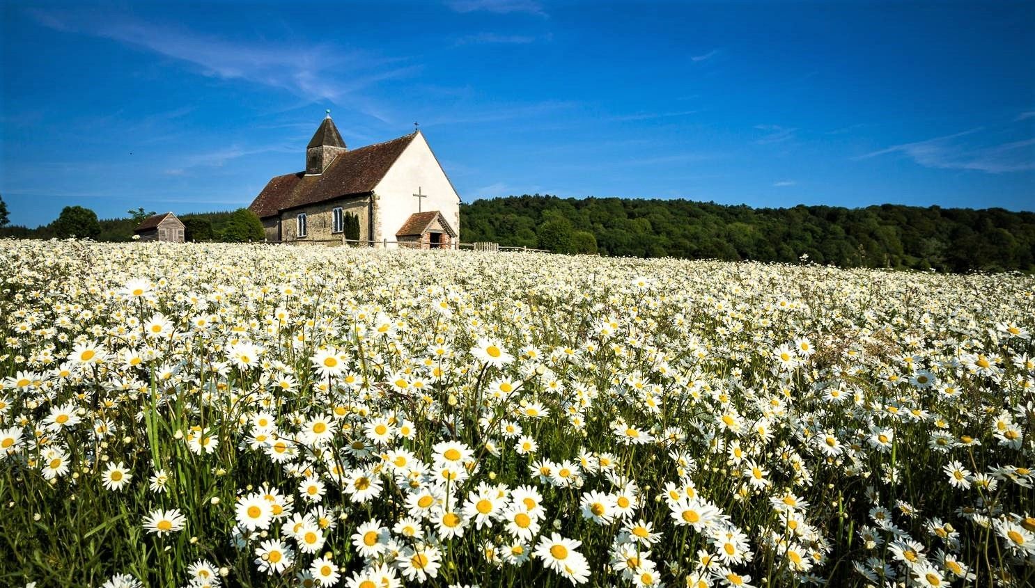
The fact that a Christian house of worship - essentially encompassing the whole of heaven - is consecrated "ALL SAINTS" is not that common; it is usually one (or occasionally two) named saints who are the patron saint of a church - and therefore usually also over the municipality or town in which it is located. But in search of the origin you have to go far back into history, because the model for this practice of dedicating to ALL SAINTS can be seen as a pagan custom, according to which there were already central temples in pre-Christian times that were generally dedicated to all deities (PANTHEON). were consecrated. Probably the most famous Pantheon, a former pagan temple and now a Christian place of worship, is located in the Italian capital.
2
0

This is a fantastic cafe with excellent cakes and sausage rolls. Bike friendly with a bigger garden round the back where you can enjoy lovely views of the pick your own farm.
0
0

Brilliant Coffee & Cake does get crowded lunch time
0
0

A friendly cafe serving speciality teas and coffee, home-made cakes and delicious lunches using produce from the farm and local suppliers. The menu changes regularly with the seasons and all food is cooked on site. There is a relaxing atmosphere inside the Tea Barn with stunning views from the picture windows over the fields and countryside. At the rear there is a large garden with plenty of seating.
0
0

Frequently Asked Questions
How many bus station hiking trails are available around Petersfield?
There are over 40 hiking routes accessible from bus stations around Petersfield, offering a variety of experiences for different fitness levels. You'll find 29 easy routes and 16 moderate routes to explore.
Are there any easy, family-friendly walks directly from Petersfield bus station?
Yes, for a gentle and accessible option, consider the Petersfield Heath Lake – Petersfield Heath loop from Petersfield. This 2.3 km easy trail circles the picturesque pond and leads through woodland and grassland, perfect for families. Petersfield Heath itself is a 69-acre nature reserve close to the town center, offering opportunities for wildlife spotting.
What are some circular hiking routes accessible by bus from Petersfield?
Many routes around Petersfield are circular and accessible by bus. An easy option is the Ancient Tree in Cornfield loop from Petersfield, which is about 7 km long. For a slightly longer moderate option, the Ancient Tree in Cornfield – Durleighmarsh Farm Café loop from Petersfield offers a 9 km circular route.
Can I bring my dog on the hiking trails near Petersfield bus station?
Petersfield and the surrounding South Downs National Park are generally very dog-friendly. Many trails, including those around Petersfield Heath and in Queen Elizabeth Country Park, welcome dogs. However, always keep dogs under control, especially near livestock, and be mindful of local signage regarding leads or restrictions in certain areas, particularly during nesting seasons or in nature reserves.
What kind of landscapes can I expect on bus-accessible hikes in Petersfield?
Hikes from Petersfield bus stations offer a diverse range of landscapes characteristic of the South Downs National Park. You can expect rolling chalk hills, ancient woodlands (with significant bluebell displays in spring), tranquil chalk streams, and open heathland. Routes often provide panoramic views of the countryside.
Are there any notable viewpoints or landmarks along these bus-accessible trails?
Yes, several trails lead to or offer views of significant landmarks. The Hangers Way, for instance, includes a steep climb to Poet's Stone, rewarding hikers with impressive views. You can also find routes that offer glimpses of Butser Hill, the highest point of the chalk ridge in the South Downs, or Old Winchester Hill.
What is the best time of year to hike around Petersfield?
Petersfield offers excellent hiking opportunities year-round. Spring is beautiful with bluebells in the ancient woodlands. Summer provides long daylight hours for extended walks. Autumn brings vibrant foliage, and even winter walks can be rewarding, especially on crisp, clear days. Always check weather conditions and trail status before heading out.
Are there any pubs or cafes near Petersfield bus station that are good for hikers?
Petersfield town center, where the bus station is located, has a good selection of pubs and cafes. Many are accustomed to hikers and offer refreshments and meals. For routes like the Ancient Tree in Cornfield – Durleighmarsh Farm Café loop from Petersfield, you can even plan your walk to include a stop at Durleighmarsh Farm Café.
What do other hikers enjoy most about hiking in Petersfield?
The Petersfield area is highly rated by the komoot community, with an average score of 4.6 stars from over 1200 ratings. Reviewers often praise the diverse scenery, from rolling hills and ancient woodlands to tranquil heathland, and the well-maintained network of trails that cater to all abilities. The accessibility by public transport is also frequently highlighted.
Are there any permits required for hiking around Petersfield?
No, generally, no permits are required for hiking on public footpaths and bridleways around Petersfield within the South Downs National Park. However, always stick to marked paths, respect private land, and follow the Countryside Code.
Are there any longer, more challenging routes accessible by bus?
Yes, for a moderate challenge, the Hangers Way offers a 12.7 km route that explores the Hampshire countryside, featuring woodland, heathland, and farmland. It includes some elevation gain, providing a good workout and rewarding views.
Most popular routes around Petersfield
Most popular attractions around Petersfield

Get inspired with the komoot mobile app


Explore more
Browse the best Hikes in other regions.
