The best hikes from bus stations around Westmeston
4.5
(945)
13,735
hikers
17
hikes
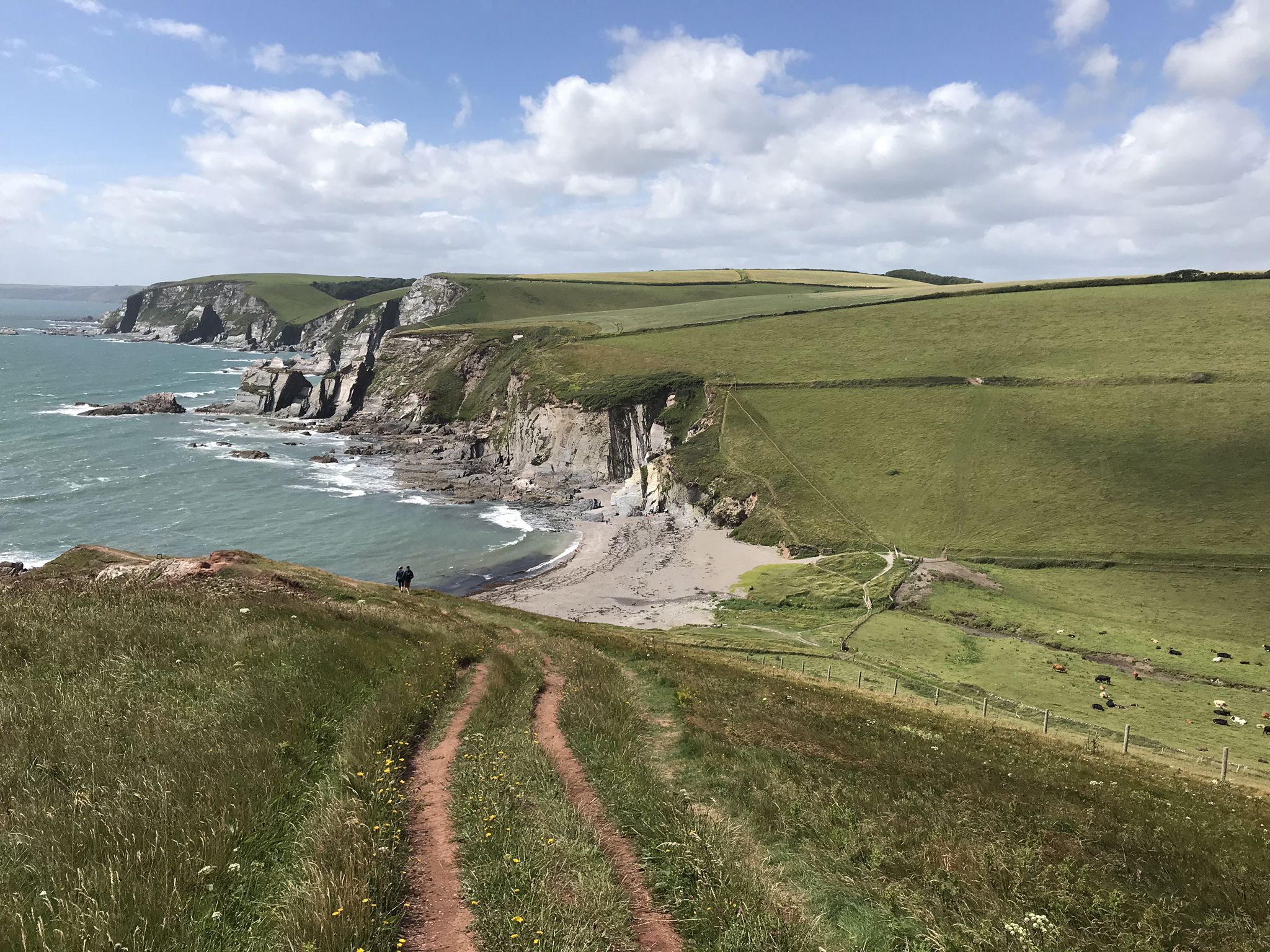
Bus station hiking trails around Westmeston offer access to the diverse landscapes of the South Downs National Park. The region is characterized by rolling hills, expansive grasslands, and ancient woodlands, providing varied terrains for exploration. Notable features include Ditchling Beacon, the highest point in East Sussex, and the chalkland dry valley of Devil's Dyke.
Best bus station hiking trails around Westmeston
- The most popular bus station hiking route is Ditchling Beacon – Devil's Dyke loop from Ditchling Beacon, a 12.0 miles (19.4 km) trail that takes 5 hours 35 minutes to complete. This difficult route connects two prominent landmarks and offers extensive views across the landscape.
- Another top favourite among local hikers is Ditchling Beacon – Jack and Jill Windmills loop from Ditchling Beacon, an easy 4.3 miles (6.9 km) path. This route winds through rolling hills and past historic windmills, providing scenic views.
- Local hikers also love the Blackcap Summit and Trig Point – Ditchling Beacon Climb loop from Ditchling Beacon, a 5.2 miles (8.4 km) trail leading through varied terrain with elevation gains, often completed in about 2 hours 15 minutes.
- Hiking around Westmeston is defined by rolling hills, chalk downlands, and ancient woodlands. The network offers options for different ability levels, from easy strolls to more challenging ascents.
- The routes in Westmeston are highly rated by the komoot community with an average score of 4.5 stars from over 800 reviews. More than 13,000 hikers have used komoot to explore Westmeston's varied terrain.
Last updated: July 1, 2026
4.7
(12)
77
hikers
19.4km
05:35
480m
480m
Hard hike. Very good fitness required. Easily-accessible paths. Suitable for all skill levels.
72
hikers
Easy hike. Great for any fitness level. Easily-accessible paths. Suitable for all skill levels.

Sign up for free
4.7
(18)
279
hikers
6.89km
01:54
120m
120m
Easy hike. Great for any fitness level. Easily-accessible paths. Suitable for all skill levels.
4.6
(5)
92
hikers
Moderate hike. Good fitness required. Easily-accessible paths. Suitable for all skill levels.
4.0
(1)
21
hikers
8.45km
02:21
150m
160m
Moderate hike. Good fitness required. Easily-accessible paths. Suitable for all skill levels.
Get access to more routes and recommendations from other explorers.
Sign up for free
Already have an account?
Our route recommendations are based on thousands of hikes, rides, and runs completed by other people on komoot.
Start today with a free account
Your next adventure awaits.
Login or Signup
Popular around Westmeston
Other adventures around Westmeston

Tips from the Community


Do it when the weather in nicer..
0
0

At over 650 feet (200 m), Ditchling Beacon gives you a good climb and a great vantage point to see out over the surrounding countryside. To the north you look back at the lush countryside of the Weald, to the south are views of Brighton, and to the east and west, the rolling undulating views out over the South Downs.
1
1

Delicious coffee from a small converted horse trailer. It won't always be there. But if it is, it's a recommendation.
0
0


These old windmills are the best proof that people were clever enough a number of centuries ago - long before the discovery of electricity and the inventions that resulted from it - to harness the power of the elements for their own purposes: no human or animal muscle power is needed for the grinding process, but the wind captured by the wings is enough to drive the heavy millstones and thus, for example, to grind flour from grain (grain mills) or to press oil from olives (oil mills). Often they are only technical and historical evidence of a long tradition of craftsmanship, because most of the old mills have been abandoned over time.
2
0
Frequently Asked Questions
How many hiking trails are accessible directly from bus stations in Westmeston?
There are 16 hiking trails in Westmeston that are easily accessible from bus stations, offering a convenient way to explore the South Downs National Park without a car.
What kind of terrain can I expect on bus-accessible hikes around Westmeston?
The trails around Westmeston feature diverse terrain, including rolling hills, expansive grasslands, and ancient woodlands. You'll find chalk downlands rich in biodiversity, with dense turf and wildflowers, offering varied walking experiences.
Are there any easy, family-friendly hikes from bus stops in Westmeston?
Yes, there are several easy routes suitable for families. For example, the Ditchling Beacon – Dew Pond with Lone Tree loop from Ditchling Beacon is an easy 2.7 km hike, perfect for a shorter outing. The region's gentle paths through woodlands also offer a tranquil experience.
Can I find circular hiking routes starting from bus stations in Westmeston?
Many of the bus-accessible routes in Westmeston are circular, allowing you to start and end at the same point, often near a bus stop. An example is the easy Ditchling Beacon – Jack and Jill Windmills loop from Ditchling Beacon, which is 6.9 km long.
What notable landmarks or viewpoints can I see on hikes from Westmeston bus stations?
Many routes offer stunning views and pass by significant landmarks. You can enjoy extensive views over the Weald and Brighton from Ditchling Beacon, the highest point in East Sussex. Other notable features include the historic Jack and Jill Windmills and the unique chalkland dry valley of Devil's Dyke.
Are there any challenging hikes accessible by bus in Westmeston?
Yes, for those seeking a challenge, there is at least one difficult route available. The Ditchling Beacon – Devil's Dyke loop from Ditchling Beacon is a demanding 19.4 km trail that connects two major landmarks and offers extensive views, typically taking over 5 hours to complete.
What do other hikers say about the bus-accessible trails in Westmeston?
The komoot community highly rates the trails around Westmeston, with an average score of 4.5 stars from over 870 ratings. Hikers often praise the scenic beauty, the varied landscapes of rolling hills and woodlands, and the rewarding views from elevated points like Ditchling Beacon.
Are there any pubs or cafes near the bus station hiking routes in Westmeston?
While specific establishments directly at bus stops are not detailed, the villages and towns within the South Downs National Park, such as Ditchling, often have pubs and cafes where you can refresh yourself after a hike. It's advisable to check local listings for options along your chosen route.
What is the best time of year to hike from bus stations in Westmeston?
Westmeston offers beautiful hiking opportunities year-round. Spring and summer bring vibrant wildflowers to the chalk downlands and pleasant weather. Autumn provides stunning foliage in the woodlands, while winter offers crisp air and unique views, though some paths might be boggy after rain. Always check local weather conditions before heading out.
Are there any moderate difficulty hikes from bus stops in Westmeston?
Yes, there are 8 moderate difficulty routes. An example is the Blackcap Summit and Trig Point – Ditchling Beacon Climb loop from Ditchling Beacon, an 8.4 km trail that offers a good balance of challenge and scenic reward.
Can I combine a hike with exploring historical sites near Westmeston?
Absolutely. Many hikes in the area pass by or offer views of historical features. For instance, the Jack and Jill Windmills are iconic historical landmarks often included in popular hiking loops. The region itself has a rich history, with sites like Ditchling Beacon having historical significance.
Most popular routes around Westmeston
Most popular attractions around Westmeston

Get inspired with the komoot mobile app


Explore more
Browse the best Hikes in other regions.
