The best hikes from bus stations around Malvern
4.5
(2027)
18,039
hikers
57
hikes
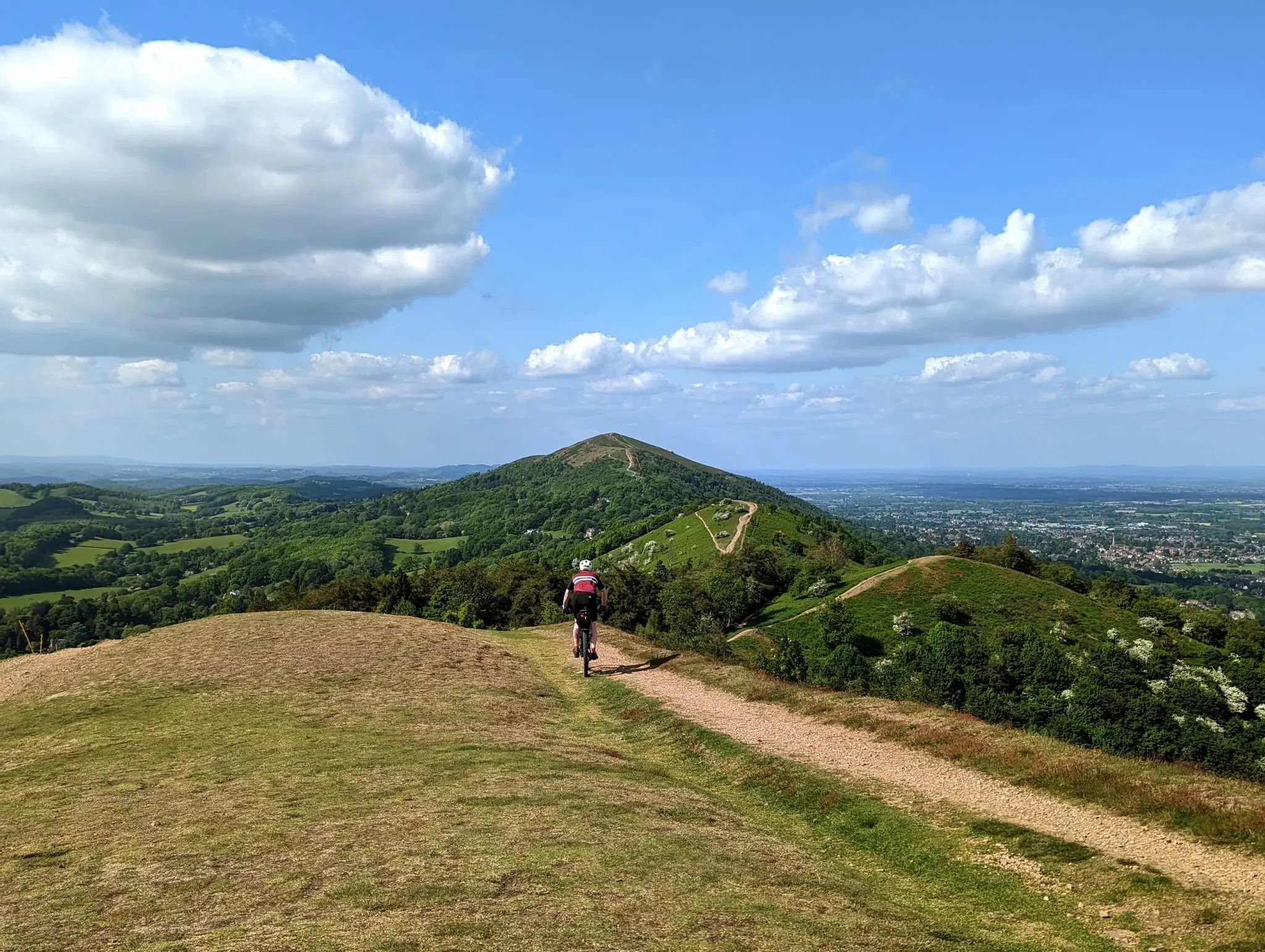
Hiking around Malvern is characterized by the distinctive north-south ridge of the Malvern Hills, an ancient landscape offering panoramic views. The region features varied terrain, including wildflower meadows, ancient woodlands, and areas of common land. At 1,394 ft (425 meters), Worcestershire Beacon is the highest point, providing expansive vistas. These geological formations and diverse ecosystems create a varied environment for bus station hiking trails.
Best bus station hiking trails around Malvern
- The most popular bus station hiking route is Worcestershire…
Last updated: October 17, 2026
4.6
(29)
202
hikers
5.97km
02:03
320m
320m
Embark on the Worcestershire Beacon Circular, a moderate hiking route that offers rewarding views from the Malvern Hills. This trail covers 3.7 miles (6.0 km) with an elevation gain of…
4.7
(30)
503
hikers
8.89km
02:44
320m
320m
Moderate hike. Good fitness required. Easily-accessible paths. Suitable for all skill levels.

4.6
(31)
231
hikers
6.09km
02:06
320m
320m
Moderate hike. Good fitness required. Easily-accessible paths. Suitable for all skill levels.
4.7
(18)
233
hikers
4.43km
01:33
250m
250m
Easy hike. Great for any fitness level. Easily-accessible paths. Suitable for all skill levels.
4.7
(11)
110
hikers
6.92km
02:17
310m
310m
Moderate hike. Good fitness required. Easily-accessible paths. Suitable for all skill levels.
Get access to more routes and recommendations from other explorers.
Already have an account?
Our route recommendations are based on thousands of hikes, rides, and runs completed by other people on komoot.


Tips from the Community


Highest Peak in the Malverns but also the busiest! People seem to be "Hogging" the trig point and not even taking a photo. Managed to get as good of a photo as possible then went for lunch.
0
0

This rocky tor is only a few yards from the summit Toposcope and Trig point, yet they get overlooked as a scenic viewpoint.
0
0
The view northwards from North Hill is extensive on a clear day. You can see the chain of hills that run through the northwest part of Worcestershire to the Shropshire border. The Worcestershire Way and the Geopark Way both run along these hills. You can also see the Clee Hills in Shropshire, and across Herefordshire to Marcle Ridge and beyond to the Welsh Hills such as the Black Mountains.
0
0
The highest point of the Malverns, with great views.
0
0
There are quite a number of these direction arrow stones on the Malverns, they look good and they are very informative.
0
0
North Hill is a very good viewpoint - but this image was taken on the way up to Table Hill, which is next to North HIll.
0
0
Sugar Loaf hill is to be recommended, but unfortunately the hill in the centre of this picture is North Hill. Sugar Loaf Hill is on the extreme left of the picture, just about in shot.
0
0
Frequently Asked Questions
How many bus-accessible hiking trails are there around Malvern?
There are over 50 hiking trails around Malvern that are easily accessible by bus, offering a wide range of experiences for all skill levels.
Are there easy hiking options accessible by bus in Malvern?
Yes, a significant number of trails are considered easy, with over 40 routes suitable for beginners or those looking for a more relaxed walk. These often feature gentler gradients and well-maintained paths.
What kind of terrain can I expect on bus-accessible trails in the Malvern Hills?
The Malvern Hills offer incredibly varied terrain, even on bus-accessible routes. You can expect ancient hills with dramatic ascents, panoramic ridge walks, tranquil woodland paths, and open meadows. The geology is unique, featuring some of England's oldest rocks.
Which bus-accessible trails offer the best views of the Malvern Hills?
Many routes provide stunning vistas. For expansive views, consider routes that ascend to the Worcestershire Beacon Summit. The Worcestershire Beacon Circular is a popular choice for its panoramic outlooks across 13 counties on a clear day.
Can I find family-friendly hiking trails accessible by bus in Malvern?
Yes, there are many family-friendly options. Look for routes marked as 'easy' which often have shorter distances and less elevation gain. The area also has accessible paths suitable for those with limited mobility or pushchairs, particularly around the lower slopes and town areas.
Are dogs allowed on the bus-accessible hiking trails in the Malvern Hills?
Dogs are generally welcome on the trails, but it's important to keep them under close control, especially near livestock or on common land. The Malvern Hills Trust has specific byelaws regarding dogs, so always be mindful of local signage and regulations.
What are some notable landmarks or natural features I can see on these trails?
The Malvern Hills are rich in landmarks. You can explore the Iron Age hill fort at Herefordshire Beacon (British Camp), reach the highest point at Worcestershire Beacon Summit, or visit St Ann's Well, famous for Malvern's pure spring water.
Are there any circular walks easily reachable by bus from Malvern?
Absolutely. Many routes are designed as circular walks, allowing you to start and end at the same bus stop. For example, the Worcestershire Beacon Circular is a well-known option that provides a full loop experience.
What is the best time of year to hike the bus-accessible trails in Malvern?
The Malvern Hills are beautiful year-round. Spring brings wildflowers and fresh greenery, while autumn offers stunning foliage. Summer is popular for long days and clear views, but can be busy. Winter walks can be crisp and clear, though some paths may be muddy or icy. Always check local weather conditions before heading out.
Are there cafes or pubs near the bus stops for hikers?
Yes, Malvern town centre, where many bus routes converge, has numerous cafes, pubs, and restaurants. Some trails also pass by establishments on the hills themselves, such as near St Ann's Well, offering refreshments for walkers.
What do other hikers enjoy the most about hiking in Malvern?
The area is highly rated by the komoot community, with an average score of 4.56 stars. Reviewers often praise the magnificent panoramic views, the varied and engaging terrain, and the sense of tranquility found on the hills, all easily accessible via public transport.
How long do the bus-accessible hikes typically take?
Hike durations vary significantly. Easy routes like the Worcester Beacon Trig Point – St Ann's Well & Café loop can be completed in under two hours. Moderate trails, such as the Worcestershire Beacon – Worcester Beacon Trig Point loop, might take three to four hours, depending on your pace and stops.
Most popular routes around Malvern
Most popular attractions around Malvern

Get inspired with the komoot mobile app


Explore more
Browse the best Hikes in other regions.
