The best hikes from bus stations around Erpingham
4.6
(535)
4,354
hikers
7
hikes
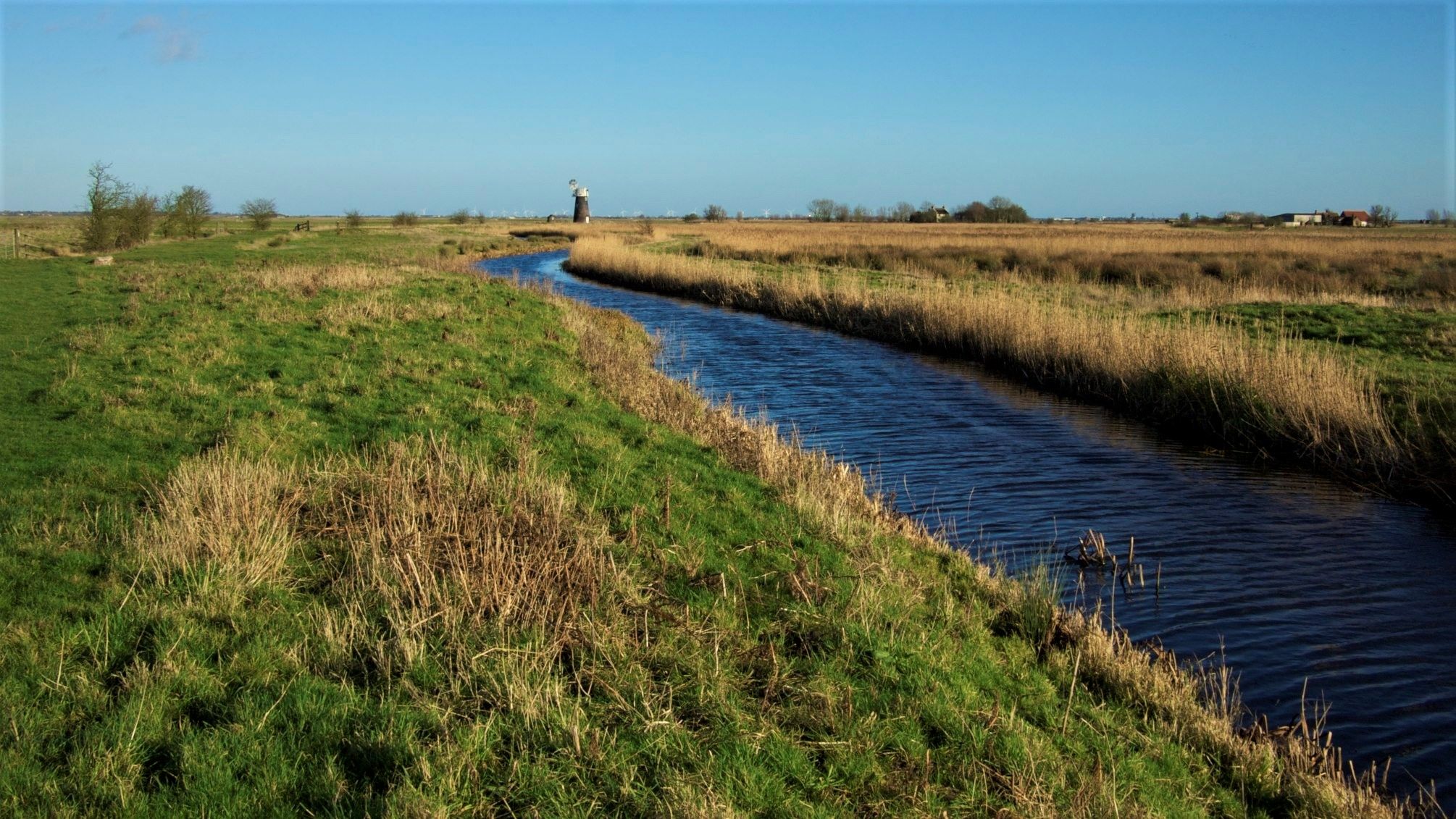
Bus station hiking trails around Erpingham traverse a landscape characterized by gentle, rolling countryside, open farmland, and historic parklands. The terrain is generally low-lying, featuring minimal elevation gain, making it accessible for various fitness levels. Routes often incorporate ancient woodlands and offer views of the picturesque North Norfolk environment.
Best bus station hiking trails around Erpingham
- The most popular bus station hiking route is St Ethelbert's Church – Tree Tunnel Path, Norfolk loop from Alby with Thwaite, a 6.5…
Last updated: June 30, 2026
5.0
(5)
14
hikers
6.28km
01:37
30m
30m
Easy hike. Great for any fitness level. Easily-accessible paths. Suitable for all skill levels.
2
hikers
6.08km
01:33
20m
20m
Easy hike. Great for any fitness level. Easily-accessible paths. Suitable for all skill levels.

Sign up for free
3.5
(2)
2
hikers
4.91km
01:17
30m
30m
Easy hike. Great for any fitness level. Easily-accessible paths. Suitable for all skill levels.
4.0
(1)
3
hikers
8.10km
02:06
40m
40m
Moderate hike. Good fitness required. Easily-accessible paths. Suitable for all skill levels.
2
hikers
Moderate hike. Good fitness required. Easily-accessible paths. Suitable for all skill levels.
Get access to more routes and recommendations from other explorers.
Sign up for free
Already have an account?
Our route recommendations are based on thousands of hikes, rides, and runs completed by other people on komoot.
Start today with a free account
Your next adventure awaits.
Login or Signup
Popular around Erpingham
Other adventures around Erpingham

Tips from the Community


You never know if will you end up in the bush of nettle- but because of this imagery, a manifestation of Norfolk's public path is worth of every risk. I never experienced anything similar in Halford.
0
0
Frequently Asked Questions
How many bus station hiking trails are available around Erpingham?
There are several excellent bus station hiking trails around Erpingham, offering a good selection of routes for various fitness levels. You'll find 7 routes specifically designed to be accessible from local bus stops, with 3 easy and 4 moderate options.
What kind of landscapes can I expect on these bus-accessible hikes?
The bus-accessible hikes around Erpingham traverse a diverse range of North Norfolk landscapes. You can expect gentle, rolling countryside, open farmland with picturesque views, and tranquil ancient woodlands. Some routes may also offer glimpses of historic parklands.
Are there any easy, shorter loop trails accessible by bus?
Yes, for an easier, shorter option, consider the Bridge Over Stream – Shady Lane loop from Erpingham. This route is approximately 4.9 km long and is rated as easy, making it perfect for a relaxed stroll directly from a bus stop in Erpingham.
What do other hikers say about the bus station trails in Erpingham?
The komoot community highly rates the hiking experience around Erpingham, with an average score of 4.7 stars from over 480 reviews. Hikers often praise the peaceful nature of the trails, the beautiful countryside views, and the convenience of starting directly from bus stops.
Are there any moderate-difficulty routes for a longer hike?
If you're looking for a moderate challenge, the St Ethelbert's Church – Tree Tunnel Path, Norfolk loop from Alby with Thwaite is a great choice. This route is about 10.5 km long and takes you through varied terrain, offering a more extended exploration of the area's natural beauty.
Can I find any historical sites or attractions along these bus-accessible routes?
While the immediate bus station routes focus on natural landscapes, the wider Erpingham area is rich in history. You can find attractions like Felbrigg Hall and Baconsthorpe Castle nearby, which can be incorporated into a day trip. Some routes may pass by charming local churches such as All Saints Church, Gresham or St Margaret's Church, Felbrigg.
Are there any bus-accessible routes that offer views of significant natural features?
Yes, some routes, like the Shady Lane – Saracen's Head loop from Erpingham, will lead you through scenic areas. While not directly coastal, the region's gentle hills and woodlands provide lovely vistas. For more dramatic natural features, consider visiting Sheringham Park Rhododendron and Azalea Gardens, which is accessible from nearby towns with bus connections.
What is the best time of year to hike these trails?
Erpingham's trails are enjoyable year-round. Spring brings spectacular bluebell displays in the woodlands, while summer offers lush greenery. Autumn showcases beautiful foliage, and even winter provides crisp, peaceful walks through the low-lying countryside. The terrain is generally accessible in all seasons.
Are there any circular routes starting from a bus stop?
Absolutely! All the bus station hiking trails listed are circular routes, designed for convenience. For example, the St Ethelbert's Church loop from Alby with Thwaite is a great circular option, allowing you to return to your starting point without needing to retrace your steps.
Can I find refreshments like cafes or pubs near the bus-accessible hiking routes?
Yes, Erpingham and nearby villages often have charming local pubs and cafes where you can enjoy refreshments before or after your hike. It's a great way to experience the local hospitality and refuel after exploring the trails.
Are there any longer, moderate routes that explore more of the countryside?
For a longer, moderate exploration of the Erpingham countryside, the Shady Lane – Saracen's Head loop from Erpingham is an excellent choice. This 8.1 km route takes you through varied landscapes, including open farmland and quiet lanes, offering a good workout and scenic views.
Most popular routes around Erpingham
Most popular attractions around Erpingham

Get inspired with the komoot mobile app


Explore more
Browse the best Hikes in other regions.
