The best city hikes and walks around Cotswold
4.5
(6639)
39,519
hikers
124
hikes
Urban hiking trails around Cotswold are characterized by gently rolling hills, serene river valleys, and diverse landscapes that include woodlands and limestone grasslands. The region's paths often connect historical sites, natural features, and charming settlements built from local Jurassic limestone. This blend provides a varied terrain for urban exploration, from town centers to adjacent green spaces.
Best urban hiking trails around Cotswold
- The most popular urban hiking route is Abbey Grounds Park – Octavia's Bookshop loop from Cirencester, a…
Last updated: June 29, 2026
5.0
(1)
20
hikers
Easy hike. Great for any fitness level. Easily-accessible paths. Suitable for all skill levels.
5.0
(1)
34
hikers
3.93km
01:01
20m
20m
Easy hike. Great for any fitness level. Easily-accessible paths. Suitable for all skill levels.

Sign up for free
7
hikers
4.15km
01:03
10m
10m
Easy hike. Great for any fitness level. Easily-accessible paths. Suitable for all skill levels.
6
hikers
5.60km
01:27
30m
30m
Easy hike. Great for any fitness level. Easily-accessible paths. Suitable for all skill levels.
14
hikers
Easy hike. Great for any fitness level. Easily-accessible paths. Suitable for all skill levels.
Get access to more routes and recommendations from other explorers.
Sign up for free
Already have an account?
Our route recommendations are based on thousands of hikes, rides, and runs completed by other people on komoot.
Start today with a free account
Your next adventure awaits.
Login or Signup
Popular around Cotswold
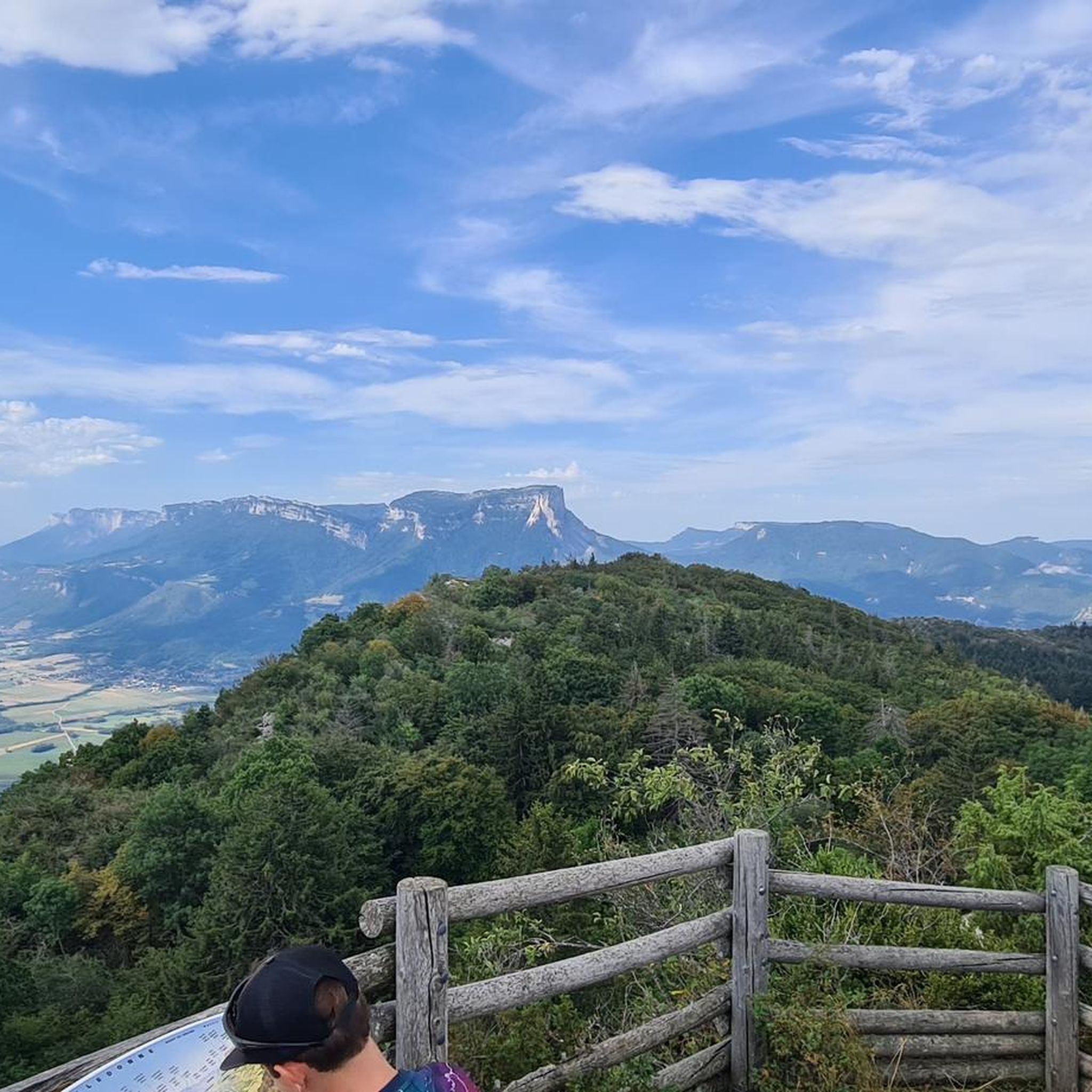
City hikes around Puckham Woods
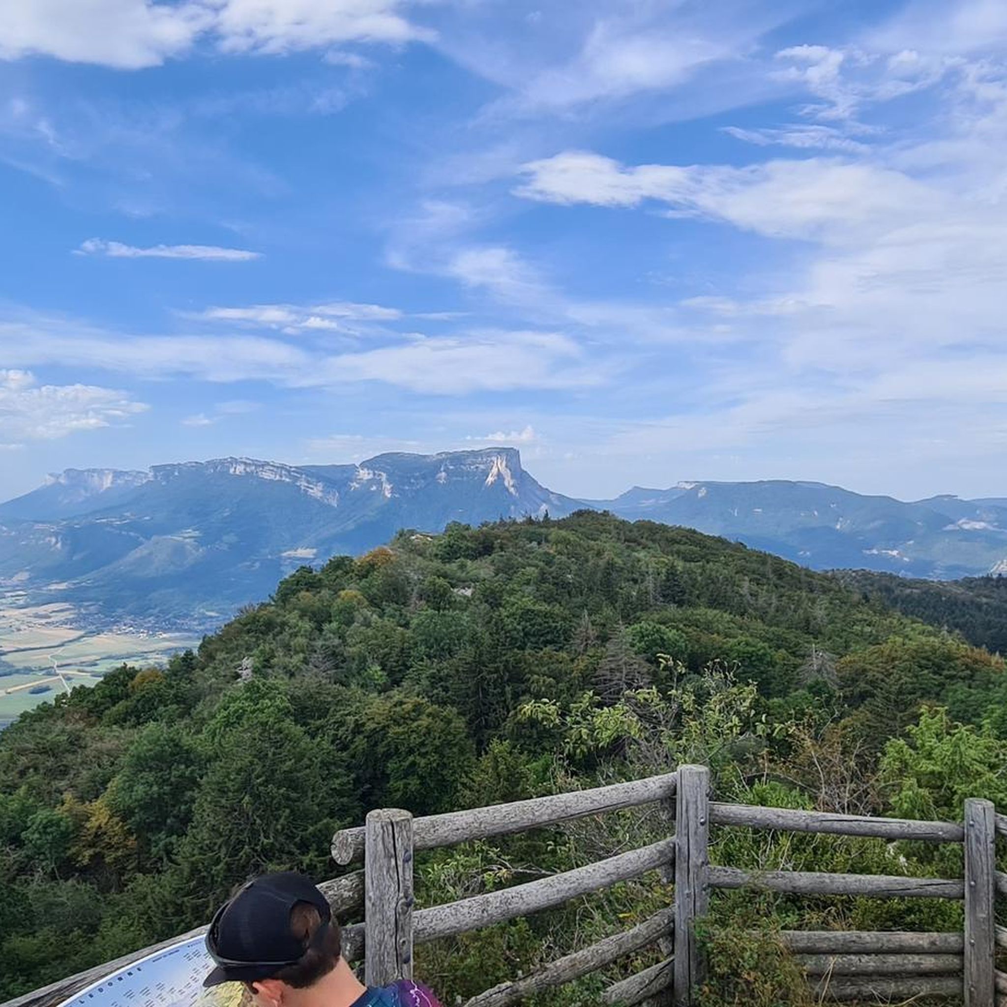
City hikes around Dowdeswell Wood
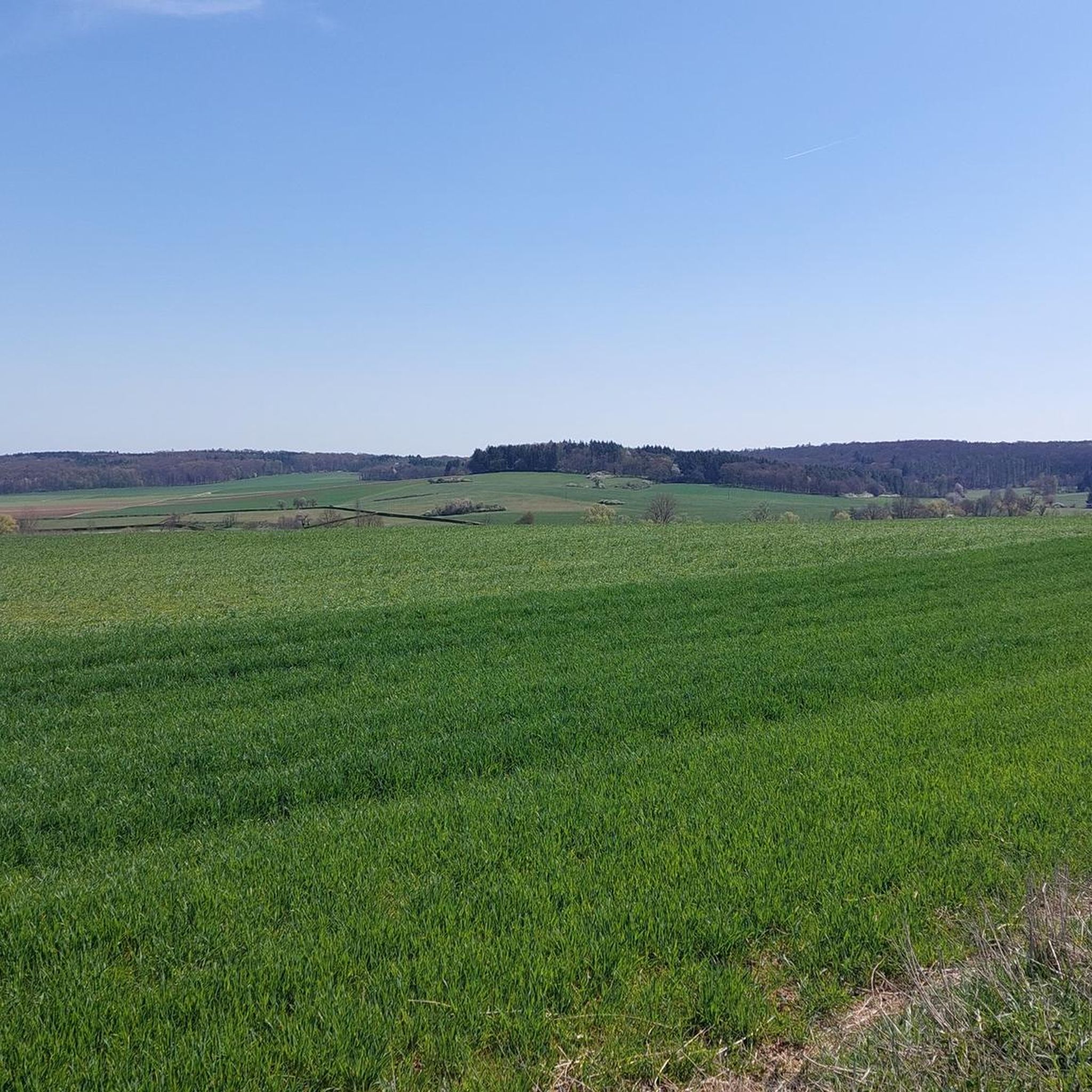
City hikes around Cirencester
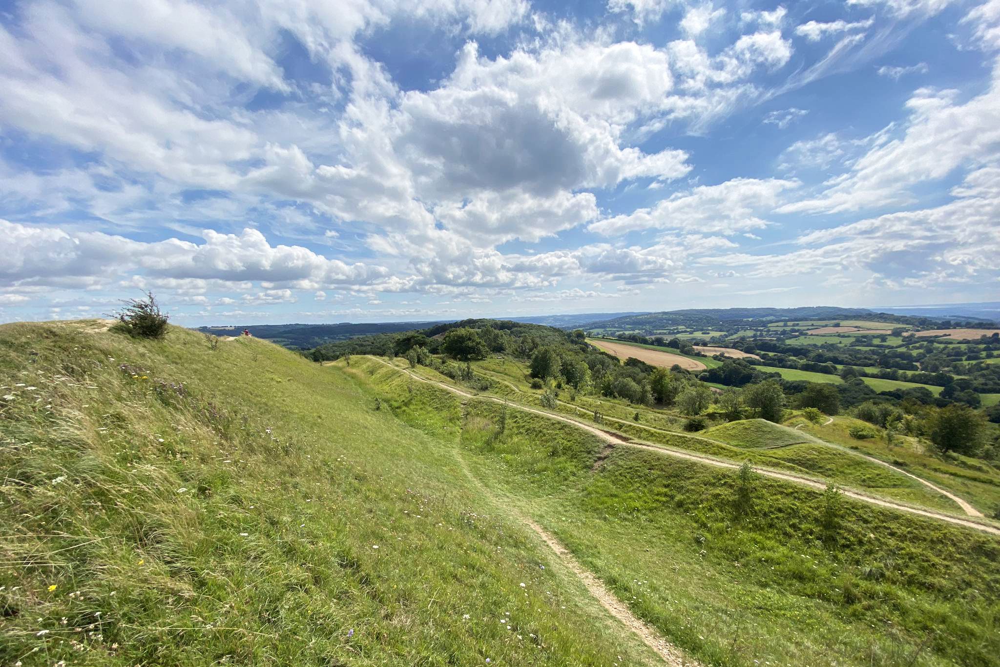
Wysis Way — Hike the golden link between the Wye and Thames

Oxfordshire Way — An idyllic walk in the heart of rural England
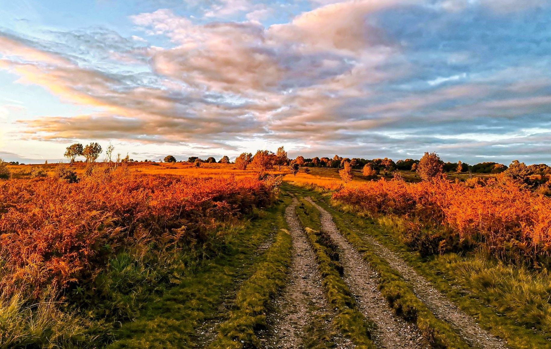
Heart of England Way — A historic hike filled with wildlife and beauty
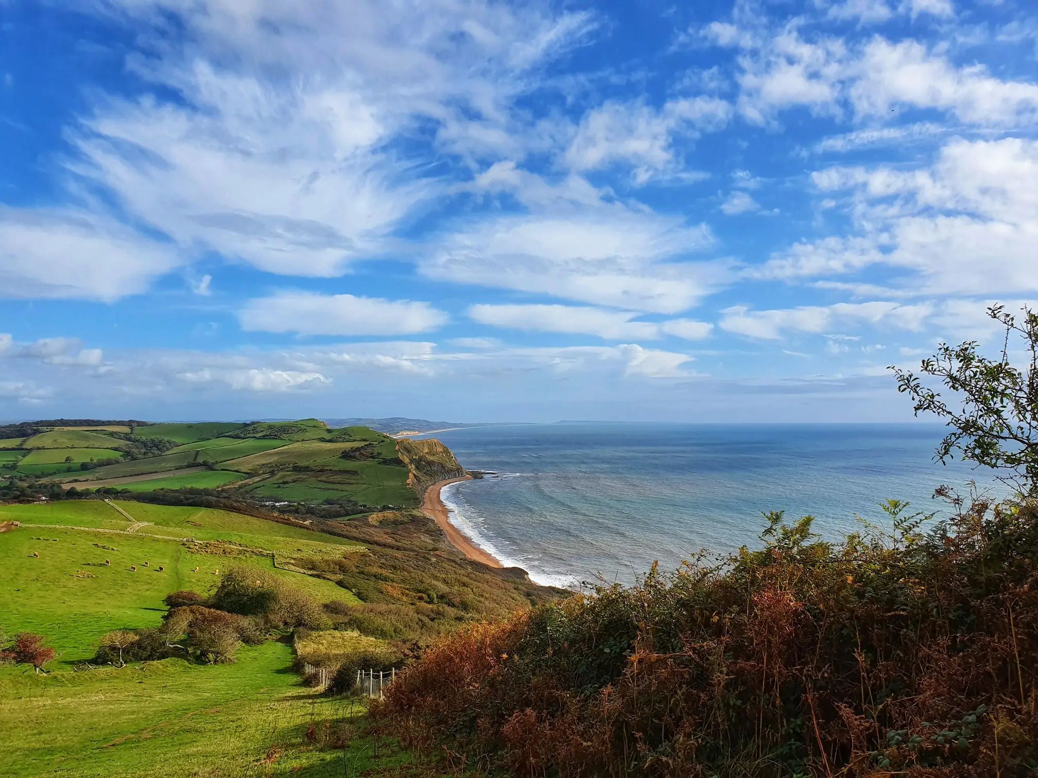
Monarch's Way: Part 2 — Conquer the longest inland trail in England
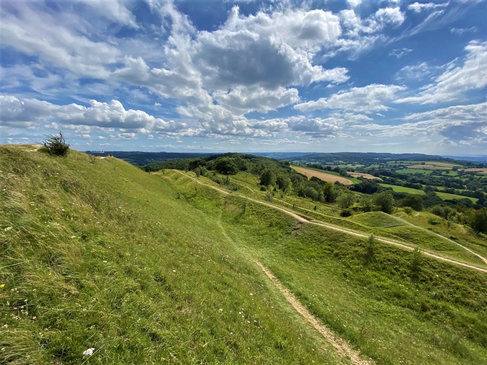
The Cotswold Way — hike the iconic trail in one week
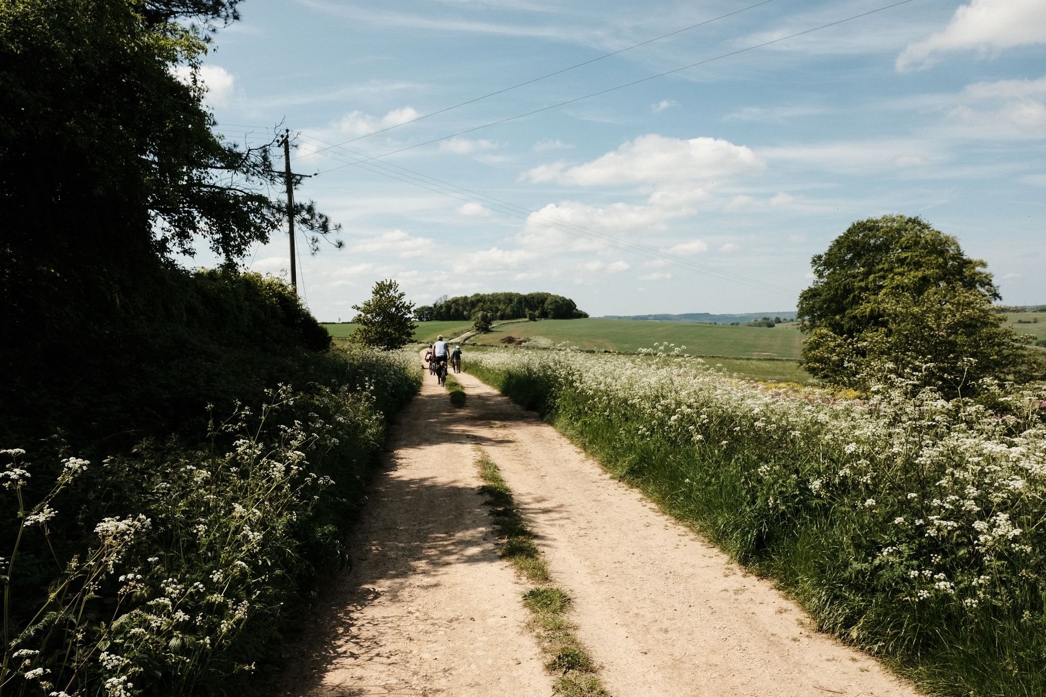
Middle Earth Loop — bikepacking the Wye, Malverns and Cotswolds
Cycling the Mercian Way – Explore England's historic heart
Other adventures around Cotswold


Tips from the Community

The Monarch's Way is a well-known hiking / trail running route. Based on the route taken by King Charles II during the Civil War. This section is right by Cirencester Abbey and in the Town Centre. Nearby is "The Fleece" pub & restaurant, which also has some interesting history. The king is said to have stayed in room 1 while on the "monarchs way"
0
0

It’s a wide open space, with lake, wildfowl, children’s play area, bandstand and public toilets near the entrance by the church.
0
0
The remnants of a Roman wall. Access is free and unrestricted.
0
0

A nice little cafe, a little on the expensive side. I had a sausage sandwich for £6.50, that said it was a big portion on sourdough bread and tasty. The chef bought it out and stopped and had a nice chat with us. They have a nice sized courtyard "Secret Garden" out the back and they are more than happy for cyclists to walk their bikes through the cafe and out the back, where they can be left safely, there are not many places where you can to this in Cirencester and especially on a Sunday.
0
0
This yew hedge planted in 1720 is 13.1m (43ft) high and surrounds the house belonging to Earl Bathurst.
1
0

HISTORY OF MEON VALE This former Ministry of Defence site is situated in the heart of Shakespeare country. It was open countryside and farmland until the Ministry of Defence (MD) purchased the land in 1940 and used it as an army training camp. After the Second World War (1939 - 1945), the camp became a Central Engineers Depot. This consisted of a series of storage sheds and warehouses that used a rail system to connect to the Great Western Railway line. The Mob facilities closed in 1999. St. Modwen, the UK's leading regeneration specialist, acquired the site in 2004 and is now creating a mixed-use development providing residential, leisure and employment facilities. WOODLAND WALK The Greenway at Mean Vale is a one mile-long footpath and cycleway that runs from Station Road in the north of Campden Rood in the south of the site. It is an extension of the Stratford Greenway, the pedestrian and Sustrans cycle link that connects Long Marston to Stratford-upon-Avon. The Greenway runs through the middle of Meon Vale and provides members of the public with access to 25 acres of woodland that can be enjoyed and explored on foot and bike. WILDLIFE AT MEON VALE The woodland surrounding The Greenway is home to a wide variety of wildlife, including birds, bats, insects, grass snakes, butterflies, moths and doormice. They find food and shelter from the many species in the trees, plants and vegetation which grow here - including fruit and walnut trees and cowslips, knapweed, wild carrot and tansy plants. The Greenway follows part of the course of Quinton Brook, which also provides a valuable wildlife habitat. Much of the brook was previously culverted, so St. Modwen has removed the concrete lining and re-profiled the banks with native wildflower, grasses and herbs, to welcome even more wildlife to live here. Can you spot the water vole? They are a shy species and you might not see any, but Quinton Brook supports a large population of water voles, which are declining in the UK and are increasingly rare in Warwickshire. This is because of habitat loss and fragmentation as well as predation by the American Mink, which escaped or were released from fur farms in the 1950s and 1960s and now breed in the wild. The works to re-profile the banks provide perfect opportunities for water voles to dig burrows, while the long grasses and herbs provide them with cover and food. You may see wooden rafts in the brook which are called 'Mink Rafts'. These are used to monitor American Mink with the hope they can be eradicated from the area, thereby protecting our native water voles.
0
0
A great stop off in the centre of the town, especially on a hot day. Enjoy a coffee or cake or a sausage roll. Whilst you are there you can pay for a coffee for one of the local homeless people.
0
0

Beautiful church in Cirencester's central square. Dates from 1117.
1
0
Frequently Asked Questions
How many urban hiking trails are available in the Cotswolds?
There are over 125 urban hiking trails around the Cotswolds, offering a variety of experiences from leisurely strolls through picturesque villages to slightly more challenging routes. Most of these, over 100, are rated as easy, making them accessible for many.
What kind of terrain can I expect on urban hikes in the Cotswolds?
Urban hikes in the Cotswolds typically feature gentle, rolling terrain, often referred to as 'wolds,' with minimal elevation changes. You'll find paths through charming villages, along minor rivers like the Windrush or Coln, and occasionally through woodlands or limestone grasslands. The routes are generally well-maintained, suitable for comfortable walking shoes.
Are there any family-friendly urban walks in the Cotswolds?
Yes, many urban walks in the Cotswolds are ideal for families due to their easy difficulty and relatively short distances. Routes like the Abbey Grounds Park – Octavia's Bookshop loop from Cirencester offer pleasant, flat paths through town parks and historical areas, perfect for a relaxed outing with children.
Can I bring my dog on urban hikes in the Cotswolds?
The Cotswolds is generally very dog-friendly, and most urban hiking trails are suitable for dogs, provided they are kept on a lead, especially near livestock or in village areas. Always check local signage for specific restrictions. Many villages also have dog-friendly pubs and cafes where you can stop for refreshments.
Are there circular urban walks available in the Cotswolds?
Yes, many urban routes in the Cotswolds are designed as circular walks, making them convenient for day trips as you start and end in the same location. An example is the Cirencester Obelisk loop from Cirencester, which allows you to explore the town's features without needing to retrace your steps.
What interesting landmarks or historical sites can I see on urban hikes?
Urban hikes in the Cotswolds often pass through or near significant historical sites and landmarks. For instance, the Cirencester Obelisk – Cirencester Amphitheatre loop from Cirencester takes you past the historic Cirencester Amphitheatre. You might also encounter ancient churches, market crosses, and traditional Cotswold stone architecture in villages like Bibury or Lower Slaughter.
What is the best time of year for urban hiking in the Cotswolds?
The Cotswolds are beautiful year-round. Spring (April-May) offers blooming wildflowers and pleasant temperatures. Summer (June-August) is popular for longer daylight hours, though villages can be busy. Autumn (September-October) brings stunning fall foliage. Even winter (November-March) can be charming, with crisp air and fewer crowds, especially for urban walks where paths are less likely to be muddy.
Are there options for parking near urban trailheads?
Most Cotswold towns and villages offer public car parks, often paid, which are usually conveniently located near the start of urban hiking trails. It's advisable to check local council websites for specific parking information and charges for the town you plan to visit.
Can I access urban hiking trails using public transport?
Many Cotswold towns are accessible by public transport, primarily buses, connecting them to larger hubs like Cheltenham or Cirencester. Some larger towns also have train stations. Planning your route in advance using local bus timetables is recommended if you intend to rely on public transport to reach your starting point.
What do other hikers enjoy most about urban hiking in the Cotswolds?
The komoot community highly rates urban hikes in the Cotswolds, with an average score of 4.5 stars. Reviewers often praise the region's picturesque villages, the charming architecture, and the ease of combining a walk with stops at local pubs and cafes. The well-maintained paths and gentle scenery are frequently highlighted as key attractions.
Are there any easy, short urban walks for beginners?
Absolutely. The Cotswolds offers numerous easy and short urban walks perfect for beginners or those looking for a relaxed stroll. For example, the Meon Vale Woodland Walk loop from Quinton CP is an easy route with minimal elevation, providing a gentle introduction to the area's natural beauty.
Most popular routes around Cotswold
Most popular attractions around Cotswold

Get inspired with the komoot mobile app


Didn’t find what you were looking for?
Check out more Hikes throughout Cotswold below and find the perfect route in your destination.
Explore more
Browse the best Hikes in other regions.
