The best hikes from bus stations around Kortrijk
4.4
(6065)
35,575
hikers
1,187
hikes
Bus station hiking trails around Kortrijk offer access to a diverse landscape in West Flanders, Belgium. The region is characterized by the gentle slopes of the Flemish Hills, the meandering Leie River, and extensive green spaces including parks and forests. Hikers can explore varied terrain, from riverside paths to wooded areas and former railway lines. This blend of natural features provides a range of outdoor experiences for different activity levels.
Best bus station hiking trails around Kortrijk
- The most popular bus station hiking route is Leie Meander – Old Leie near Ooigem loop from Harelbeke, a 6.1 miles (9.8 km) trail that takes 2 hours 28 minutes to complete. This route follows the scenic meanders of the Leie River.
- Another top favourite among local hikers is Old Railway Path – Sint-Pieters Bridge loop from Zwevegem, an easy 4.3 miles (6.9 km) path. This trail offers a relaxed walk along a former railway line, crossing the Sint-Pieters Bridge.
- Local hikers also love the Sint-Pieters Bridge – Old Railway Path loop from Zwevegem, a 5.1 miles (8.2 km) trail leading through varied terrain including an old railway path, often completed in about 2 hours 7 minutes.
- Hiking around Kortrijk is defined by the gentle Flemish Hills, the tranquil Leie River, and green areas like the Cotthembos and Kortrijkse Groene Gordel-pad. The network offers options for different ability levels, from easy riverside strolls to moderate forest paths.
- The routes in Kortrijk are highly rated by the komoot community with an average score of 4.4 stars from more than 5,600 reviews. More than 34,000 hikers have used komoot to explore Kortrijk's varied terrain.
Last updated: June 30, 2026
4.6
(220)
929
hikers
9.76km
02:28
20m
20m
Moderate hike. Good fitness required. Easily-accessible paths. Suitable for all skill levels.
4.6
(190)
829
hikers
6.86km
01:48
50m
50m
Easy hike. Great for any fitness level. Easily-accessible paths. Suitable for all skill levels.

Sign up for free
4.6
(194)
824
hikers
8.17km
02:07
50m
50m
Moderate hike. Good fitness required. Easily-accessible paths. Suitable for all skill levels.
4.5
(84)
934
hikers
6.73km
01:43
20m
20m
Easy hike. Great for any fitness level. Easily-accessible paths. Suitable for all skill levels.
4.7
(120)
585
hikers
10.2km
02:44
120m
120m
Moderate hike. Good fitness required. Easily-accessible paths. Suitable for all skill levels.
Get access to more routes and recommendations from other explorers.
Sign up for free
Already have an account?
Our route recommendations are based on thousands of hikes, rides, and runs completed by other people on komoot.
Start today with a free account
Your next adventure awaits.
Login or Signup
Popular around Kortrijk

Hikes from bus stations in Grandvalbos En Kooigembos
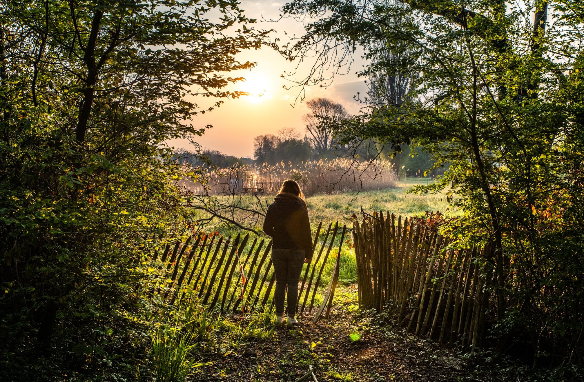
Waterside walks in Flanders
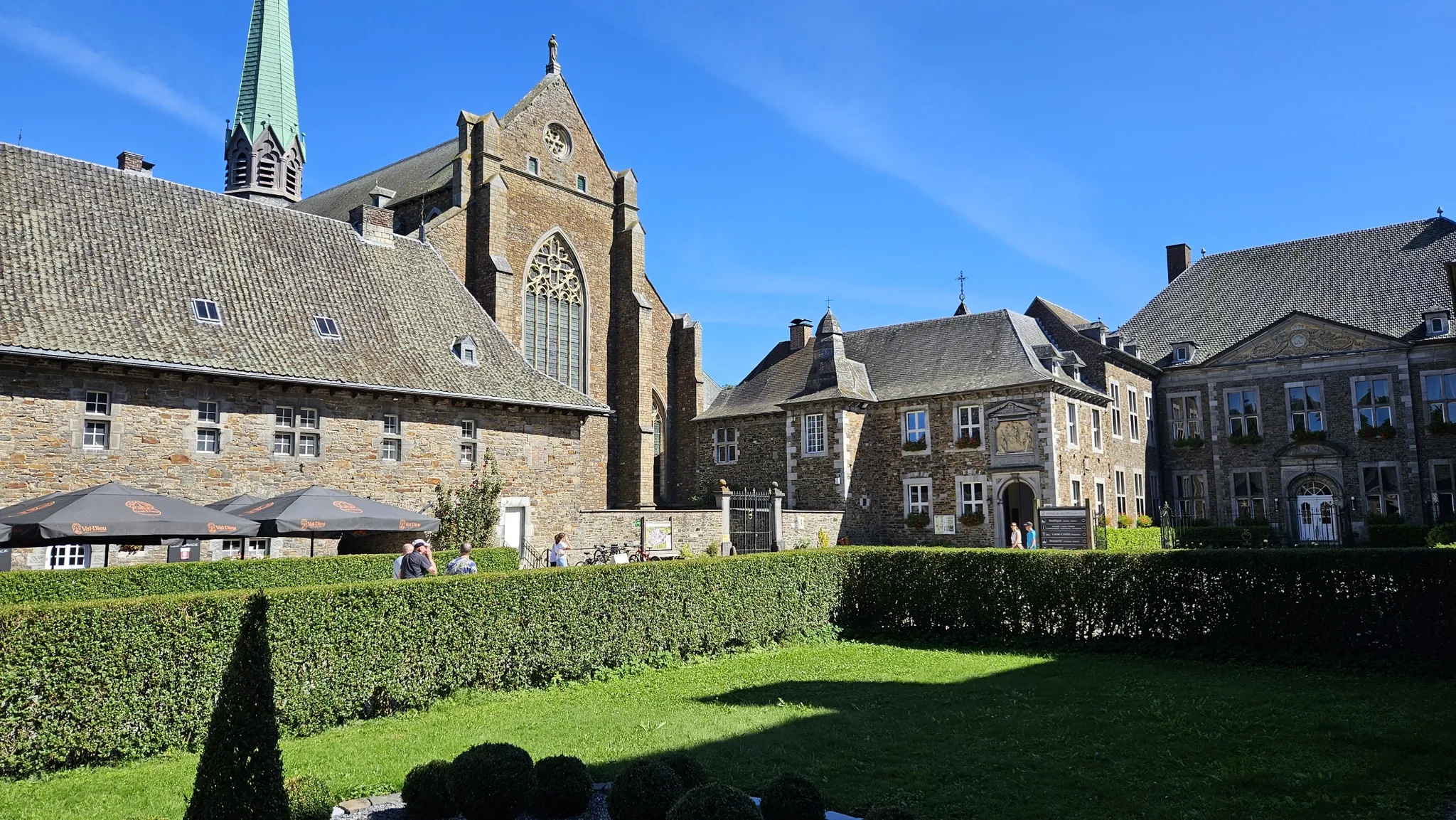
Trappist abbeys cycle route – Between beers and heritage
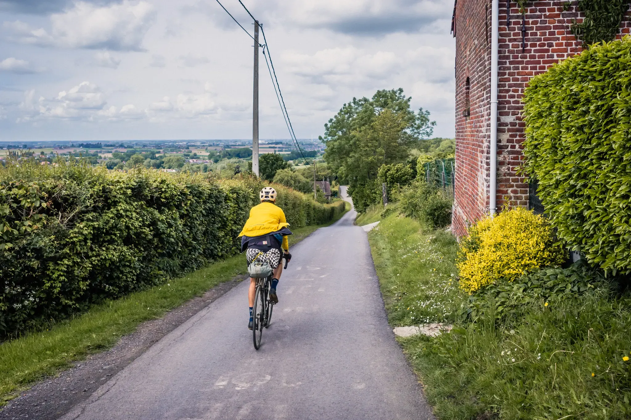
The Hilly Route from Brussels to Poperinge – bikepacking in Flanders
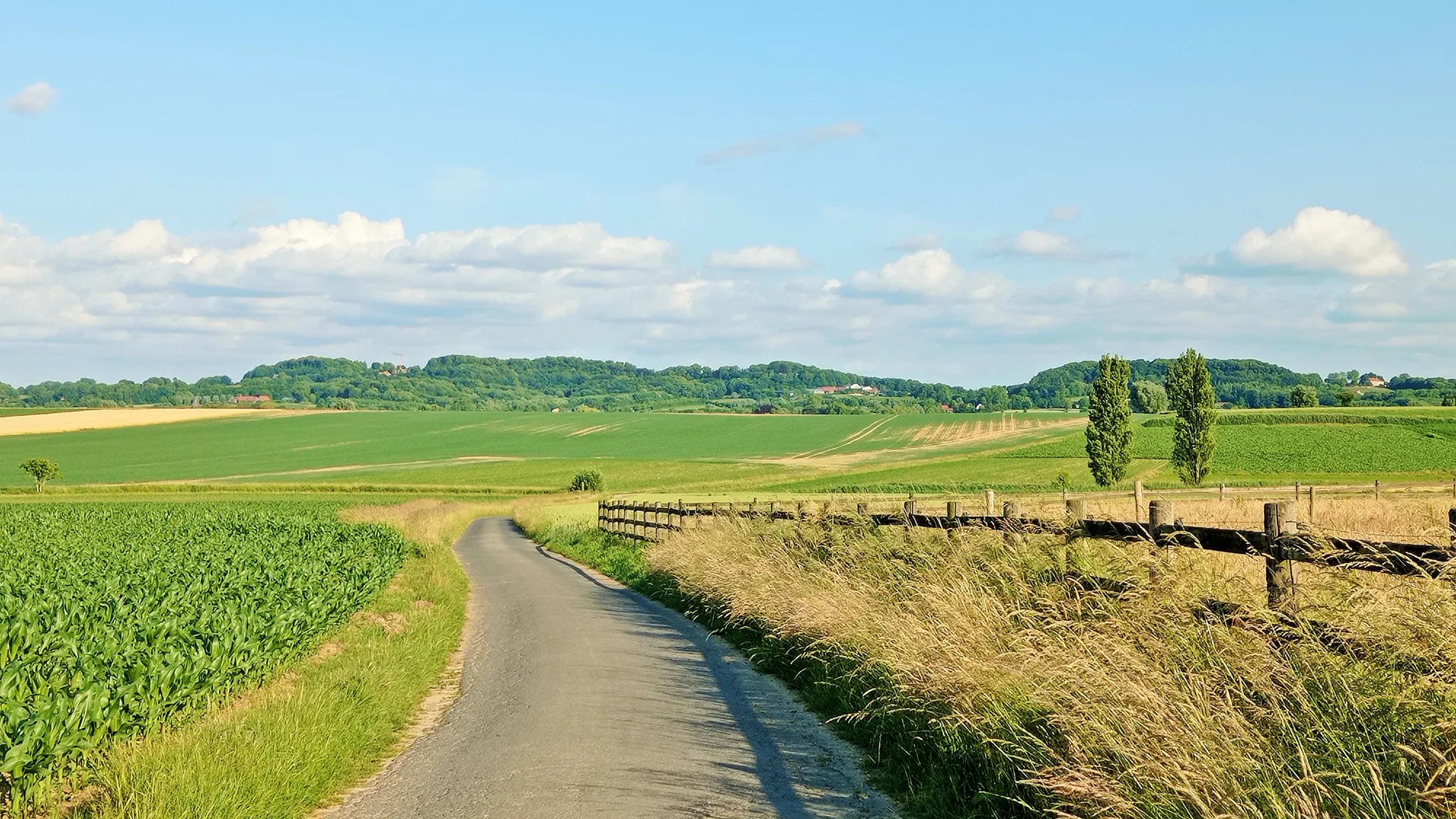
Seven-day Cycling tour through the South-Flemish hills – Hilly Route
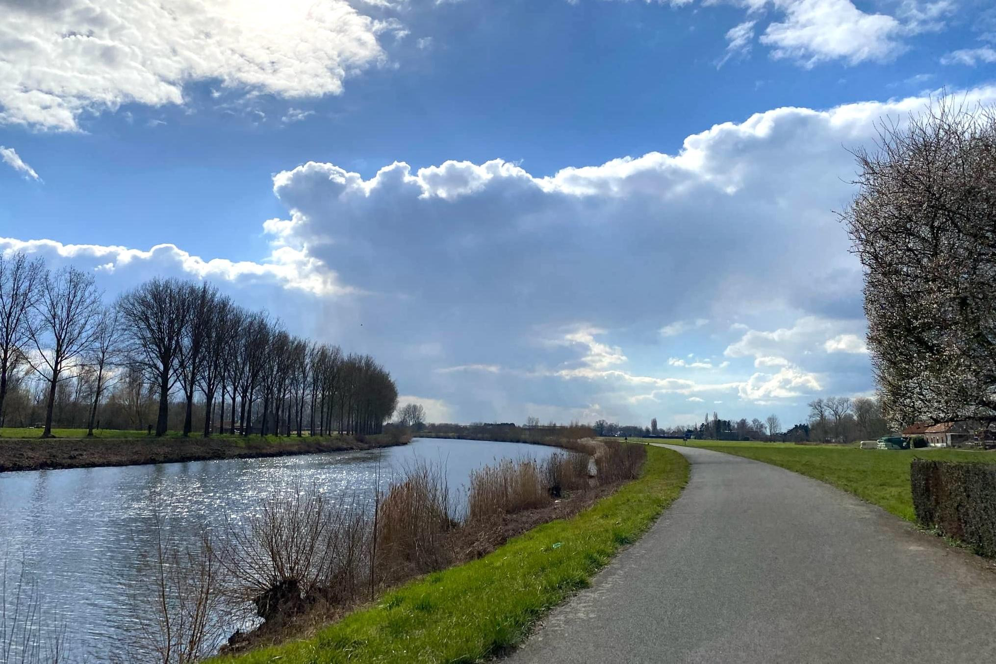
Three days of pure cycling pleasure from Spiere to Zandvliet – Schelderoute
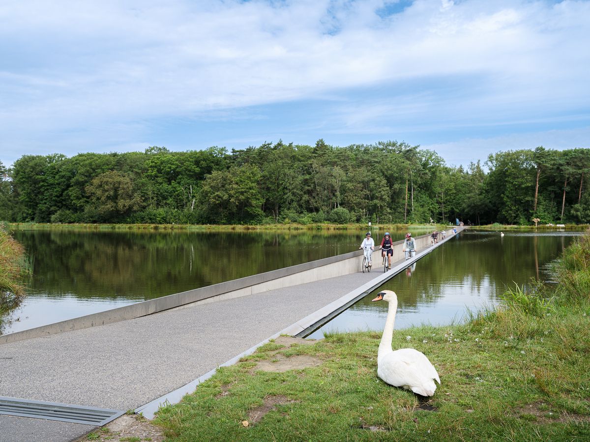
Flanders' Finest Cycle Routes: routes to discover Flemish nature and heritage
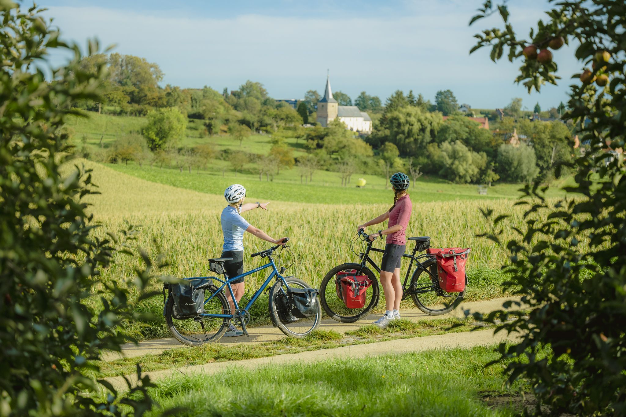
The best of Flanders — the Flanders Route
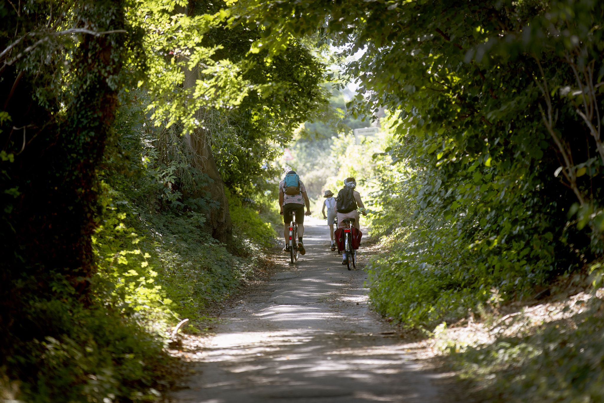
Flanders by bike: Cycling through nature
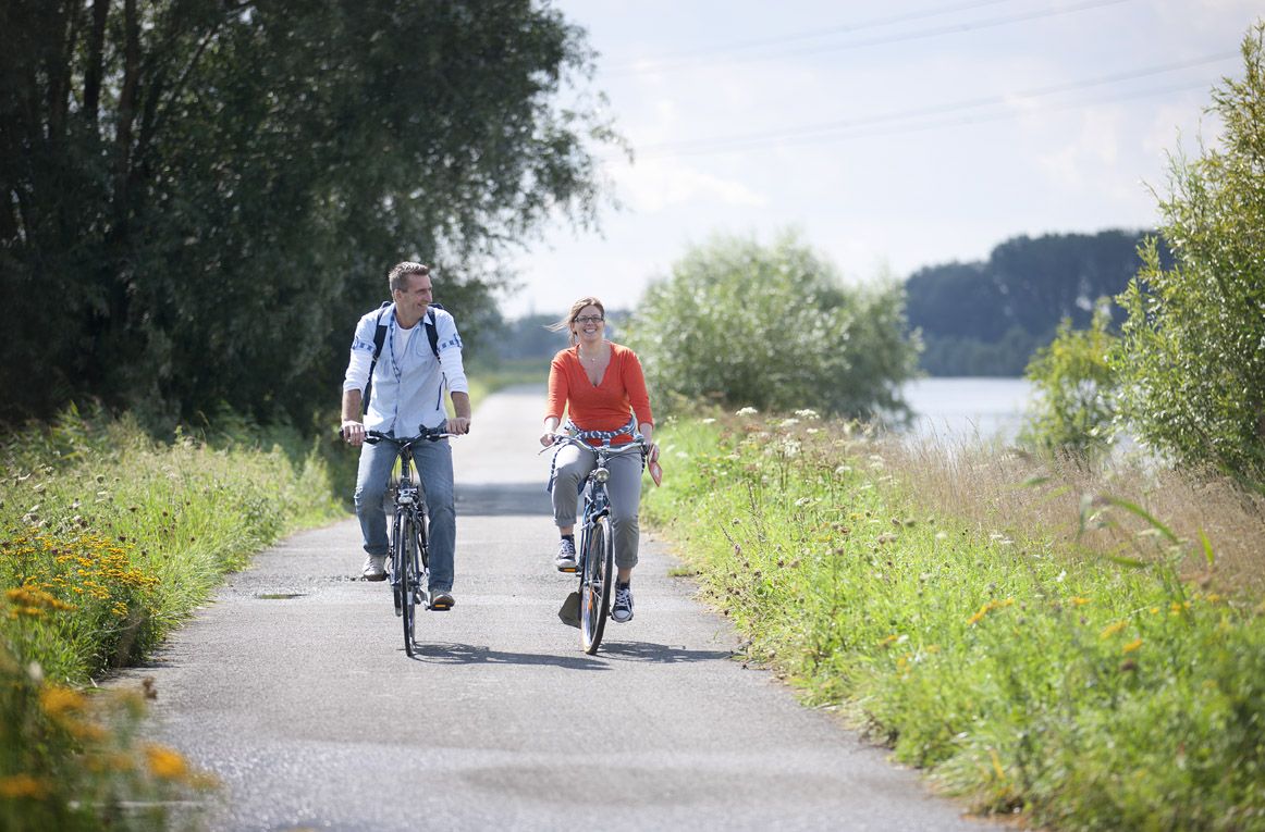
Flanders by bike: cycling along the water
Other adventures around Kortrijk


Tips from the Community

The St. Peter's Bridge dates from 1892. In 2019-2020, it underwent a thorough restoration, requiring its dismantling to be transported to the workshop, where it was carefully cleaned and sandblasted. In addition, some sections were replaced and riveted by hand. No fewer than 1,000 rivets are incorporated into the entire structure. Finally, the bridge was also given a protective coat of paint in striking Brunswick green, its original color. Source: vlaamsewaterweg.be
3
0
This forest was created in the late 1980s on a former clay dump. Over the past 40 years, the approximately 30-hectare area has grown into a natural gem. Together with the Vaarttaluds (a little further towards Bossuit) and the Oude Spoorweg (a little further towards Kortrijk), it forms a beautiful walking area.
3
0
The route of the former Kortrijk-Avelgem-Oudenaarde-Ronse railway (line 85, opened in 1869, closed in 1960) is paved for a total of 9 km in the area between Zwevegem and Kortrijk, reaching the (heavily used by cyclists) Guldenspoorpad. This is where it ends (or begins, depending on how you look at it) and transitions into an unpaved section that briefly gives you the feeling of walking through a forest, while in fact it's a very narrow strip. After the line was closed, over 60 years ago, nature spontaneously developed into an oak forest. A border of thorny shrubs once prevented cattle from walking on the tracks. Ancient hawthorn bushes are a remnant of this. This spontaneous forest development has created a habitat for deer and squirrels. The old oaks you see here are over 100 years old. This natural area, along with the canal embankments and the Orveytbos, forms a pleasant walking area. (As explained further on the information board at the location)
2
0


Open from 1 April to 30 September, every Wednesday to Sunday, from 11:00 to 12:30 and from 13:00 to 17:00. Standard rate: €3
4
0
Memorial stone for the military and civilian victims and civilian workers of the First World War. The monument was erected in 2019. The names of the victims of the Second World War were later added to the same monument. "We fell for you, for the Fatherland / There lie their corpses like seeds in the sand / Hope for the harvest, O Flandersland," it reads, along with a variation on the familiar "AVV-VVK"; here "AVV-VVC"; "Flanders for Christ" instead of "Christ." Next to the monument is an information board about the Tree of Liberty, the old one from 1919 and the new one from 2019.
1
0
At the main portal of the church is an entrance gate to the cemetery. It was designed in 1948 on the occasion of the Sacred Heart celebrations in the parish. The golden statue in the crown gives the gate grandeur.
4
0
Frequently Asked Questions
How many bus station hiking trails are available around Kortrijk?
There are over 1100 hiking trails accessible from bus stations around Kortrijk, offering a wide range of options for all skill levels. You'll find routes ranging from easy strolls to more challenging excursions.
Are there easy hiking trails accessible by bus from Kortrijk?
Yes, Kortrijk offers a significant number of easy hiking trails accessible by bus. Over 570 routes are classified as easy, perfect for a relaxed outing. An example is the Old Railway Path – Sint-Pieters Bridge loop from Zwevegem, which is an easy 6.8 km walk.
What kind of terrain can I expect on bus-accessible hikes near Kortrijk?
The terrain around Kortrijk is quite varied. You can expect flat paths along the Leie River, gentle slopes in the Flemish Hills, and wooded trails through areas like the Cotthembos or Saint Arnoldus Park. Some routes, like the Tiegem Spring – Saint Arnoldus Park loop from Tiegem, feature more noticeable elevation changes.
Are there any family-friendly hiking trails accessible by bus from Kortrijk?
Many of the easier and moderate routes are suitable for families. Trails that follow the Leie River or explore green spaces like the Kortrijkse Groene Gordel-pad are generally flat and offer pleasant scenery. The Boardwalk at Gavermeer – De Gavers Lake loop from Harelbeke is an easy 6.8 km option that families might enjoy.
What interesting landmarks or natural features can I see along these bus-accessible routes?
Many trails incorporate historical and natural highlights. You can encounter the iconic Sint-Pieters Bridge, explore the tranquil Beukenhof Castle, or walk along the picturesque Leie River. The region also features natural monuments and green areas like the Cotthembos and Saint Arnoldus Park.
Are there circular hiking routes available from bus stations?
Yes, many of the bus-accessible routes around Kortrijk are circular, allowing you to start and end your hike at the same bus stop. Examples include the Leie Meander – Old Leie near Ooigem loop from Harelbeke and the Sint-Pieters Bridge – Old Railway Path loop from Zwevegem.
What is the best time of year for hiking near Kortrijk?
Spring and autumn are generally ideal for hiking around Kortrijk, offering pleasant temperatures and beautiful scenery. Spring brings blooming nature, while autumn showcases vibrant foliage. Summer can also be enjoyable, especially for walks along the Leie River, but be prepared for warmer weather. Winter walks are possible, particularly on well-maintained paths.
Are there any dog-friendly trails accessible by bus from Kortrijk?
Many trails in the Kortrijk region are dog-friendly, especially those through natural areas and along riverbanks. It's always advisable to keep your dog on a leash, especially in nature reserves or near livestock. Look for routes that pass through forests or open countryside, which often provide ample space for dogs.
What do other hikers enjoy most about hiking in Kortrijk?
The area is highly rated by the komoot community, with an average score of 4.4 stars. Reviewers often praise the diverse landscapes, the blend of historical sites with natural beauty, and the accessibility of many trails via public transport. The well-maintained paths and scenic views along the Leie River are frequently highlighted.
Can I find places to eat or drink along bus-accessible hiking routes?
Yes, many routes pass through or near villages and towns where you can find cafes, pubs, or restaurants. Especially along the Leie River or in areas like Tiegem, you'll often find opportunities for a refreshment stop. Planning your route with komoot allows you to identify such points of interest beforehand.
Most popular routes around Kortrijk
Most popular attractions around Kortrijk

Get inspired with the komoot mobile app


Didn’t find what you were looking for?
Check out more Hikes throughout Kortrijk below and find the perfect route in your destination.
