The best walks and hikes around Mank
4.4
(1180)
5,980
hikers
57
hikes
Hiking around Mank offers a network of trails primarily characterized by gentle rolling landscapes and open countryside, with occasional views from elevated points. The region features a mix of agricultural areas, small woodlands, and paths connecting local landmarks. Elevation changes are generally modest, making many routes accessible for various fitness levels.
Best hiking trails around Mank
- The most popular hiking route is Hagberg Rest Area with View – Großaigen Adventure Playground loop from Türnitz Alps, a 5.1 miles (8.2…
Last updated: August 15, 2026
4.7
(3)
19
hikers
Moderate hike. Good fitness required. Easily-accessible paths. Suitable for all skill levels.
4.7
(3)
24
hikers
8.84km
02:19
70m
70m
Moderate hike. Good fitness required. Easily-accessible paths. Suitable for all skill levels.

Sign up for free
4.8
(6)
18
hikers
12.0km
03:10
120m
110m
Moderate hike. Good fitness required. Easily-accessible paths. Suitable for all skill levels.
4.0
(2)
13
hikers
Easy hike. Great for any fitness level. Easily-accessible paths. Suitable for all skill levels.
5.0
(1)
17
hikers
4.07km
01:06
50m
50m
Easy hike. Great for any fitness level. Easily-accessible paths. Suitable for all skill levels.
Get access to more routes and recommendations from other explorers.
Sign up for free
Already have an account?
Our route recommendations are based on thousands of hikes, rides, and runs completed by other people on komoot.
Start today with a free account
Your next adventure awaits.
Login or Signup
Tips from the Community

Nice resting place in the forest. Beautiful carved altar.
0
0

...the former "Milchwegerl" to the farmers, there is information about it!
0
0

Kälberhart Castle was first documented in 1389 and belonged to Hertel Kälberharter at the time. According to legend, he was ennobled by Friedrich von Walser for his charitable care of the poor and sick and was allowed to use a calf's head in his coat of arms. This is said to have contributed to the name of the nearby village of Fleischessen. The present castle dates from the second half of the 16th century. It is a two-story, rectangular building with a hipped roof and cylindrical corner turrets. Originally, it was surrounded by a moat, of which only a small pond remains. Over the centuries, the castle changed hands several times and fell into disrepair at times. Today, it is picturesquely situated in the Mostviertel region and is a popular destination for cyclists.
1
0

The adventure playground is a popular meeting place.
0
0

The Römerweg 651 passes here. This church is also the destination of the Mank pilgrimage route, which leads from St. Pölten to Mank.
1
0
Hiking along the Römerweg 651 you come to this hill full of small monuments, an image tree at the highest point, a Hubertus chapel and, further up, a marterle that commemorates the French Wars.
1
0
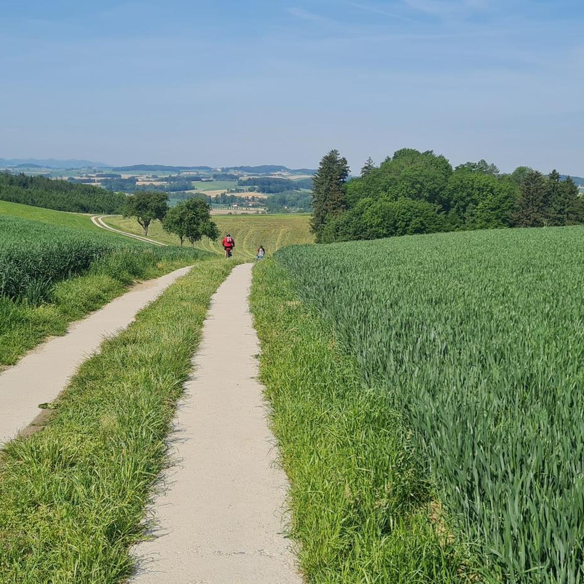
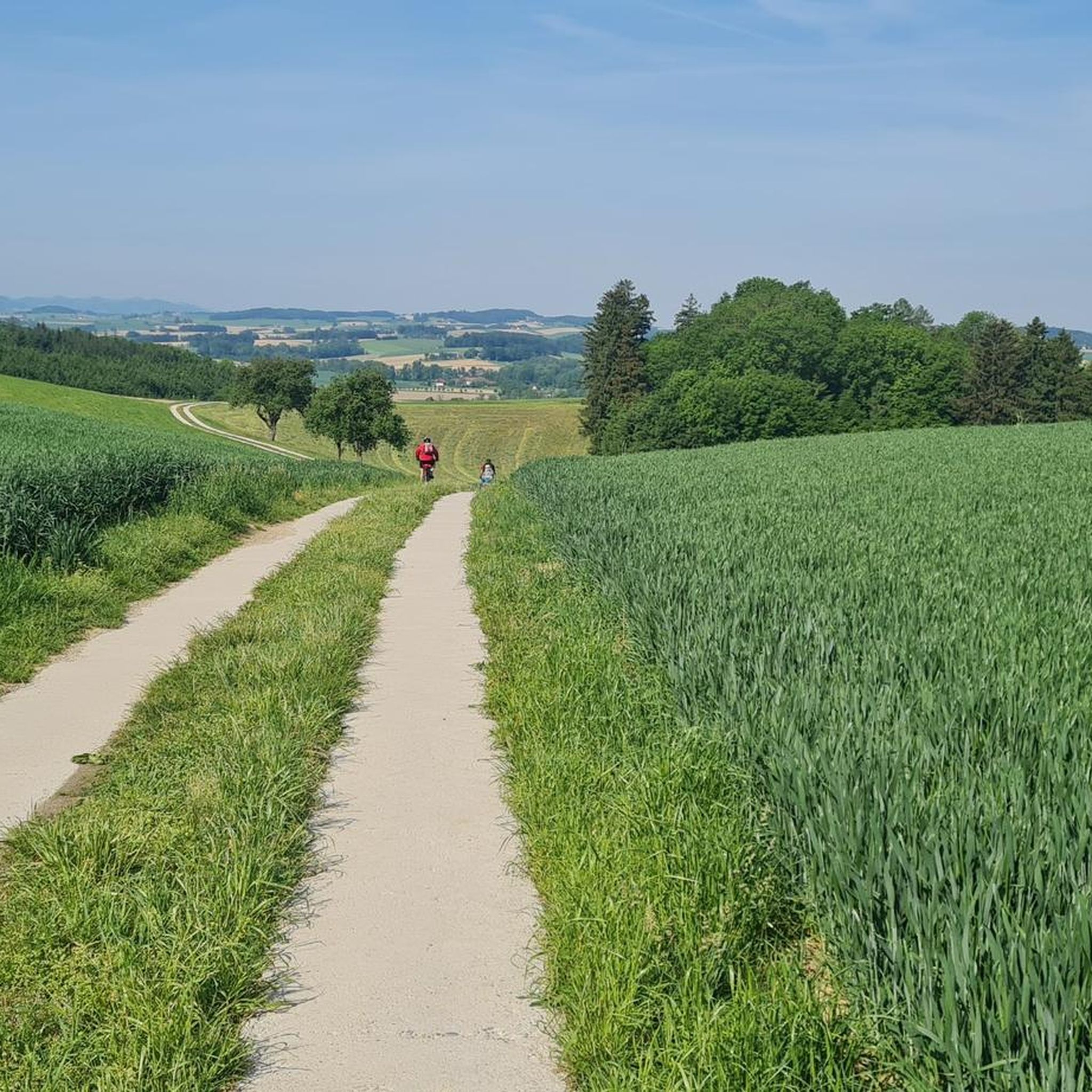
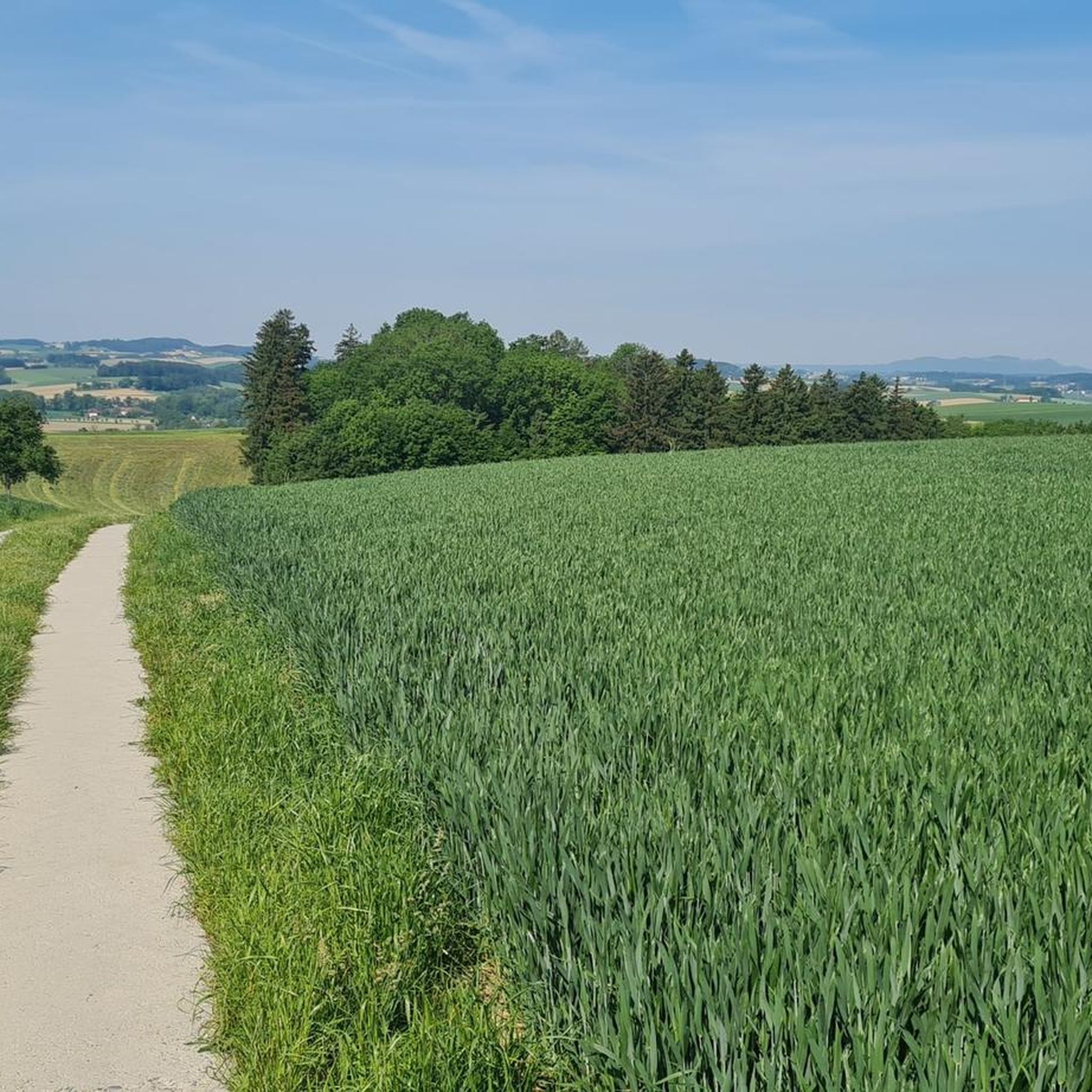
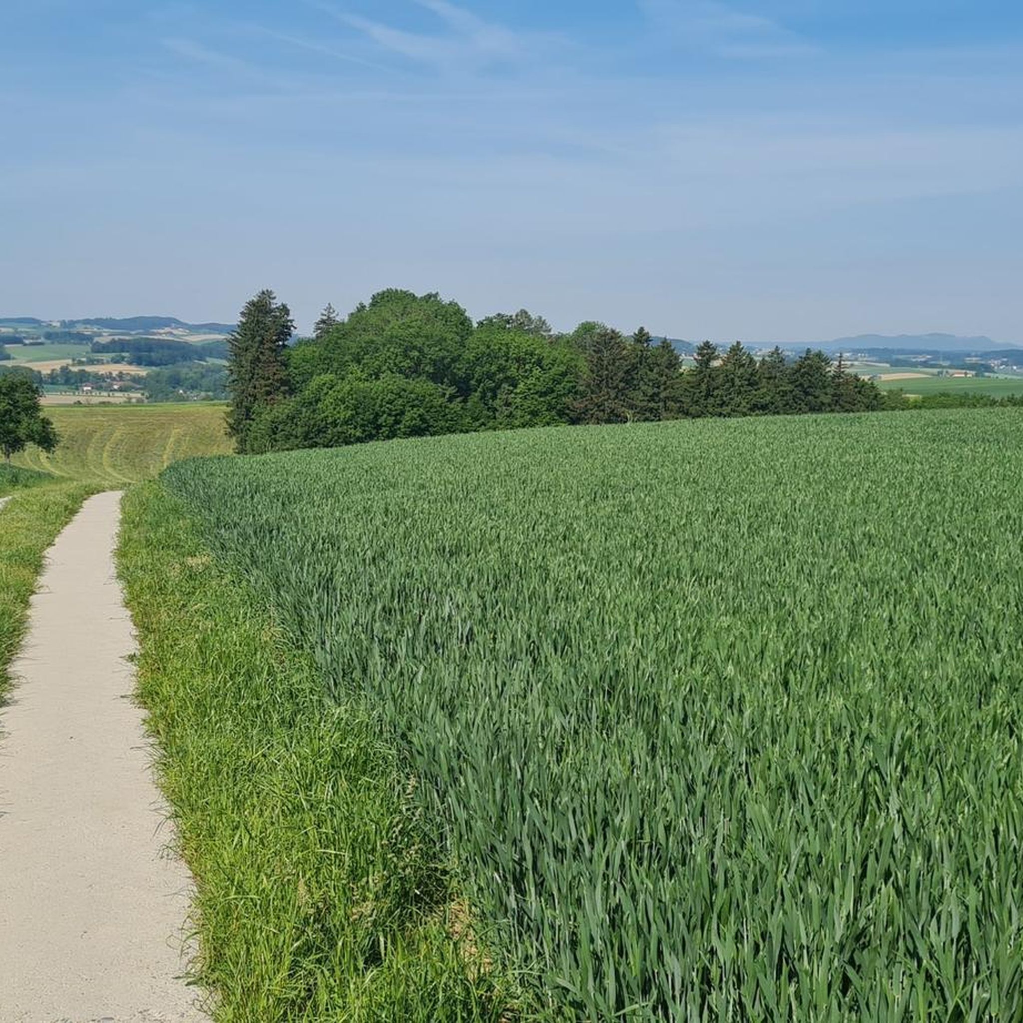
This is where the Römerweg 651 and the Manker Pilgrimage Route meet. A nice rest area with a view.
1
0
Actually an information point for cyclists, but the maps also offer some information for hikers; the Römerweg 651 and the Manker Pilgrimage Trail lead past here.
1
0
Frequently Asked Questions
How many hiking trails are available around Mank?
There are over 50 hiking routes available around Mank, offering a variety of options for different preferences and fitness levels. The komoot community has rated these trails highly, with an average score of 4.6 stars.
What is the general difficulty level of hiking trails in Mank?
The hiking trails in Mank are primarily characterized by gentle rolling landscapes and modest elevation changes. Most routes are classified as easy (over 40 trails) or moderate (around 15 trails), making them accessible for various fitness levels. There are no difficult trails listed in the area.
Are there any easy hiking routes suitable for beginners in Mank?
Yes, Mank offers a good selection of easy hiking routes. For example, the Info Point Krumpe Cycle Path – Strannersdorf Castle loop from Mank is an easy 3.7-mile (5.9 km) trail, and the Hagberg Rest Area with View – Strannersdorf Castle loop from Mank is another easy option at 2.5 miles (4.1 km).
Can I find circular hiking routes around Mank?
Yes, many of the hiking routes around Mank are designed as circular loops. Examples include the popular Hagberg Rest Area with View – Großaigen Adventure Playground loop from Türnitz Alps and the Parish Church of Mank – Schlangenkreuz Monument loop from Mank, which both offer convenient starting and ending points.
What kind of landscapes can I expect to see while hiking near Mank?
Hiking around Mank will take you through a mix of agricultural areas, small woodlands, and open countryside. You can expect gentle hills and paths connecting local points of interest, with occasional views from elevated points like the Hagberg Rest Area.
Are there any specific landmarks or points of interest along the trails in Mank?
Yes, some routes pass by notable landmarks. For instance, the Parish Church of Mank – Schlangenkreuz Monument loop from Mank leads past historical monuments. Additionally, you might encounter highlights such as the Hamesberg with summit cross or the Bichlberg Shelter and Viewpoint in the broader region.
What do other hikers say about their experience in Mank?
The hiking routes in Mank are highly rated by the komoot community, with an average score of 4.6 stars from over 300 reviews. Hikers often praise the well-maintained paths, the gentle terrain, and the pleasant mix of open fields and small wooded areas.
Are the hiking trails in Mank suitable for families with children?
Given the prevalence of easy and moderate trails with modest elevation changes, many routes in Mank are suitable for families. The Hagberg Rest Area with View – Großaigen Adventure Playground loop from Türnitz Alps, for example, passes by the Großaigen Adventure Playground, making it a fun option for families.
Are dogs allowed on the hiking trails around Mank?
While specific regulations for dogs on every trail are not detailed, generally, dogs are welcome on most public hiking paths in Austria, provided they are kept on a leash and owners clean up after them. It's always advisable to check local signage for any specific restrictions.
What is the best time of year to go hiking in Mank?
With its gentle landscapes and mixed terrain, Mank is suitable for hiking during most of the year. Spring and autumn offer pleasant temperatures and beautiful scenery, while summer provides longer daylight hours. Winter hiking is possible, but conditions may vary, and some paths might be muddy or icy.
Are there any facilities like cafes or pubs along the hiking routes in Mank?
While specific amenities directly on every trail are not listed, the region features paths connecting local villages and points of interest. It is likely that you will find opportunities for refreshments in the towns or larger villages near the trailheads, such as Mank itself.
Is public transport available to access the trailheads in Mank?
Information on specific public transport links to every trailhead is not readily available. However, Mank is a local community, and regional bus services might connect to nearby towns. For detailed public transport options, it's best to consult local transport schedules for the Mank area.
Where can I park when hiking in Mank?
While specific parking locations for every trailhead are not provided, it is common for trailheads in Austrian communities to have designated parking areas, often near village centers or popular starting points. Look for local signage upon arrival in Mank or at the beginning of your chosen route.
Most popular attractions around Mank

Get inspired with the komoot mobile app


Explore more
Browse the best Hikes in other regions.
