The best traffic-free bike rides around Berceto
4.4
(86)
1,300
riders
3
rides
No traffic road cycling routes around Berceto are situated within the Parma Apennines, offering diverse landscapes between the Val Taro and Val Baganza. The region features mountain scenery, including beech and chestnut woods, alongside significant elevation changes. A notable feature is the Passo della Cisa, an Apennine mountain pass known for its gentle slopes and wide curves. The area also includes natural water features and is in proximity to the Tuscan-Emilian Apennine National Park.
Best no traffic road cycling routes around Berceto
- The most popular no traffic road cycling route is Calestano water fountain – Bar Artcafè Calestano loop from Park (inizio giro), a 31.5 miles (50.6 km) trail that takes 2 hours 35 minutes to complete, traversing varied terrain in the surrounding area.
- Another top favourite among local road cyclists is Brattello Pass – View of Monte Zucchero loop from Grondola, a difficult 27.1 miles (43.6 km) path that includes substantial climbs and scenic viewpoints.
- Local road cyclists also love the Lagdei Hut – Lagdei Hut loop from Berceto, a 29.9 miles (48.1 km) trail leading through mountainous landscapes, often completed in about 3 hours 12 minutes.
- Road cycling around Berceto is defined by Apennine mountain passes, dense woodlands, and river valleys, with routes offering options for various ability levels, from moderate to difficult.
- The routes in Berceto are highly rated by the komoot community with an average score of 4.1 stars from over 35 reviews. More than 470 road cyclists have used komoot to explore Berceto's varied terrain.
Last updated: June 30, 2026
44
riders
58.1km
03:35
1,420m
1,420m
Hard road ride. Very good fitness required. Mostly well-paved surfaces and easy to ride.
3.3
(3)
24
riders
Moderate road ride. Good fitness required. Some segments of this route may be unpaved and difficult to ride.

Sign up for free
5
riders
41.9km
02:29
980m
980m
Hard road ride. Very good fitness required. Some segments of this route may be unpaved and difficult to ride.
6
riders
41.1km
03:34
1,140m
1,140m
Hard road ride. Very good fitness required. Some segments of this route may be unpaved and difficult to ride.
Our route recommendations are based on thousands of hikes, rides, and runs completed by other people on komoot.
Start today with a free account
Your next adventure awaits.
Login or Signup
Popular around Berceto
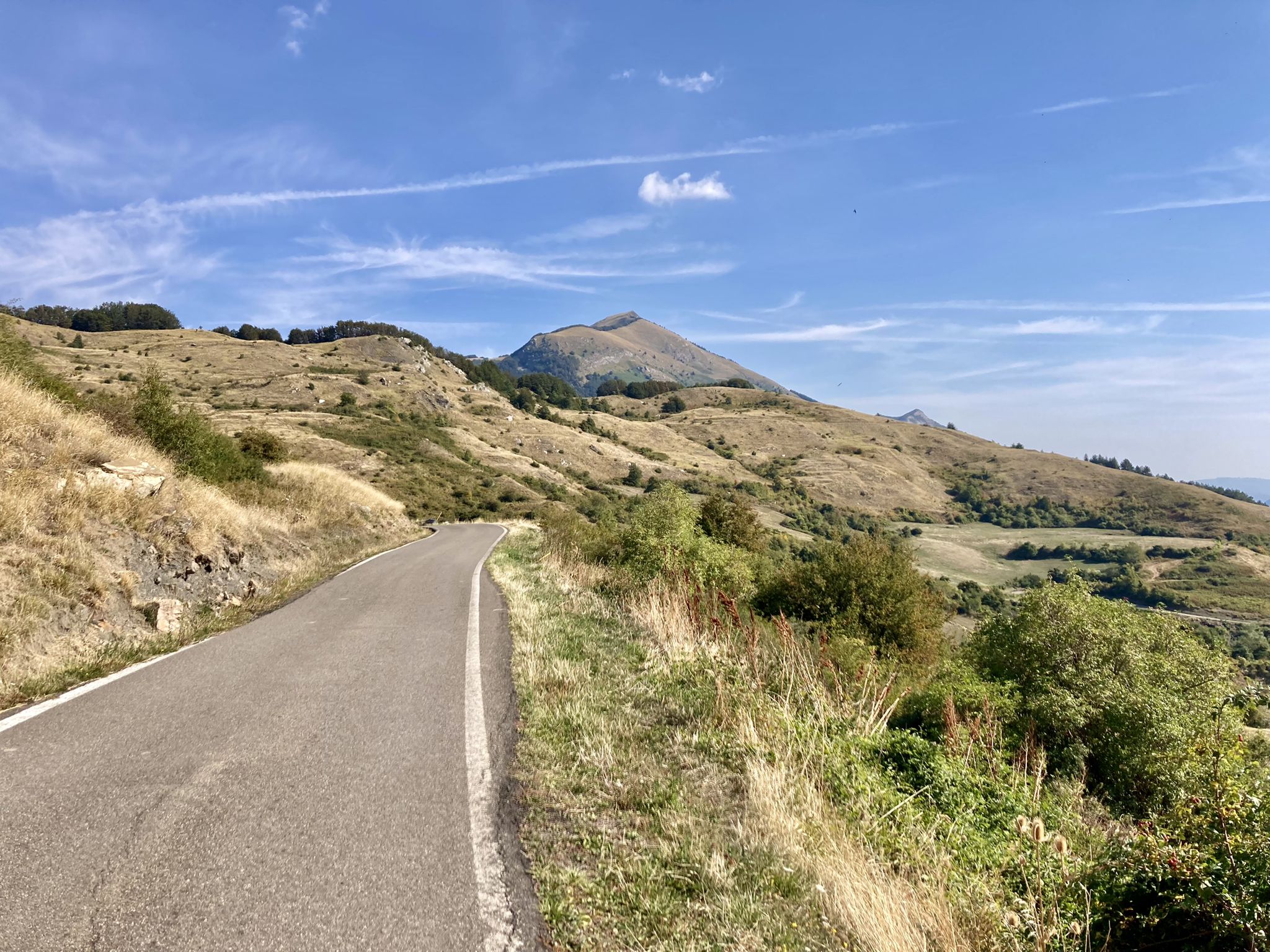
Apperò l'Appennino – five days of Italy's Emilian climbs
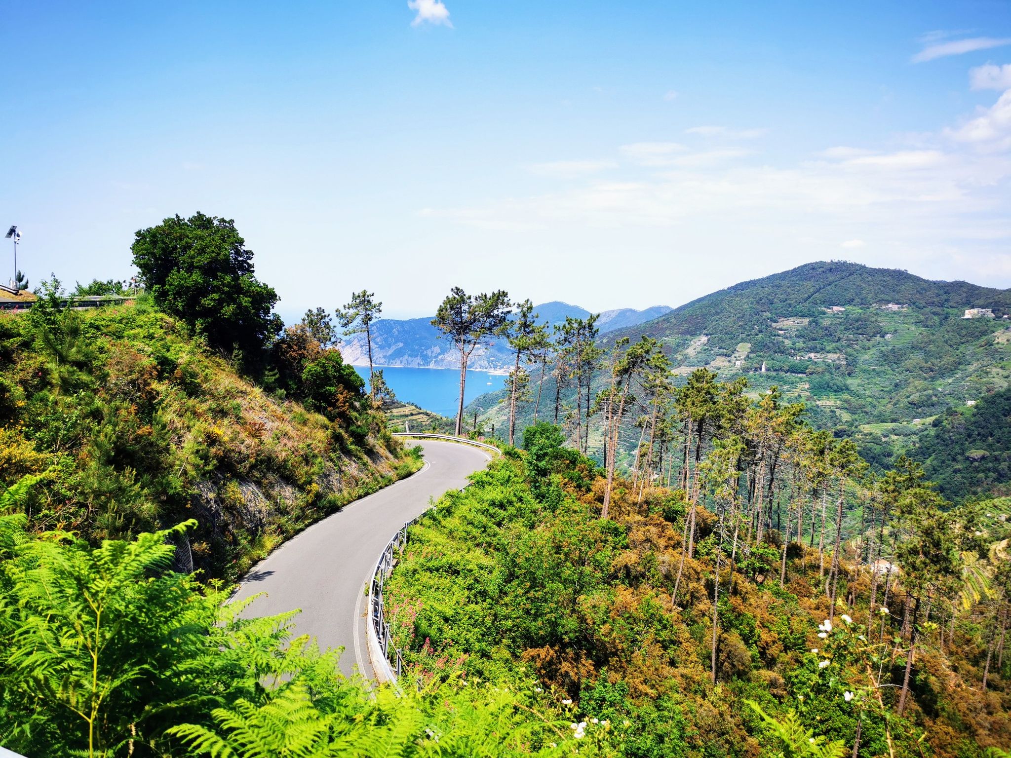
Bike rides to the Italian coast – 10 ways to take a dip

Berceto to Abetone – Alta Via dei Parchi (part 1)
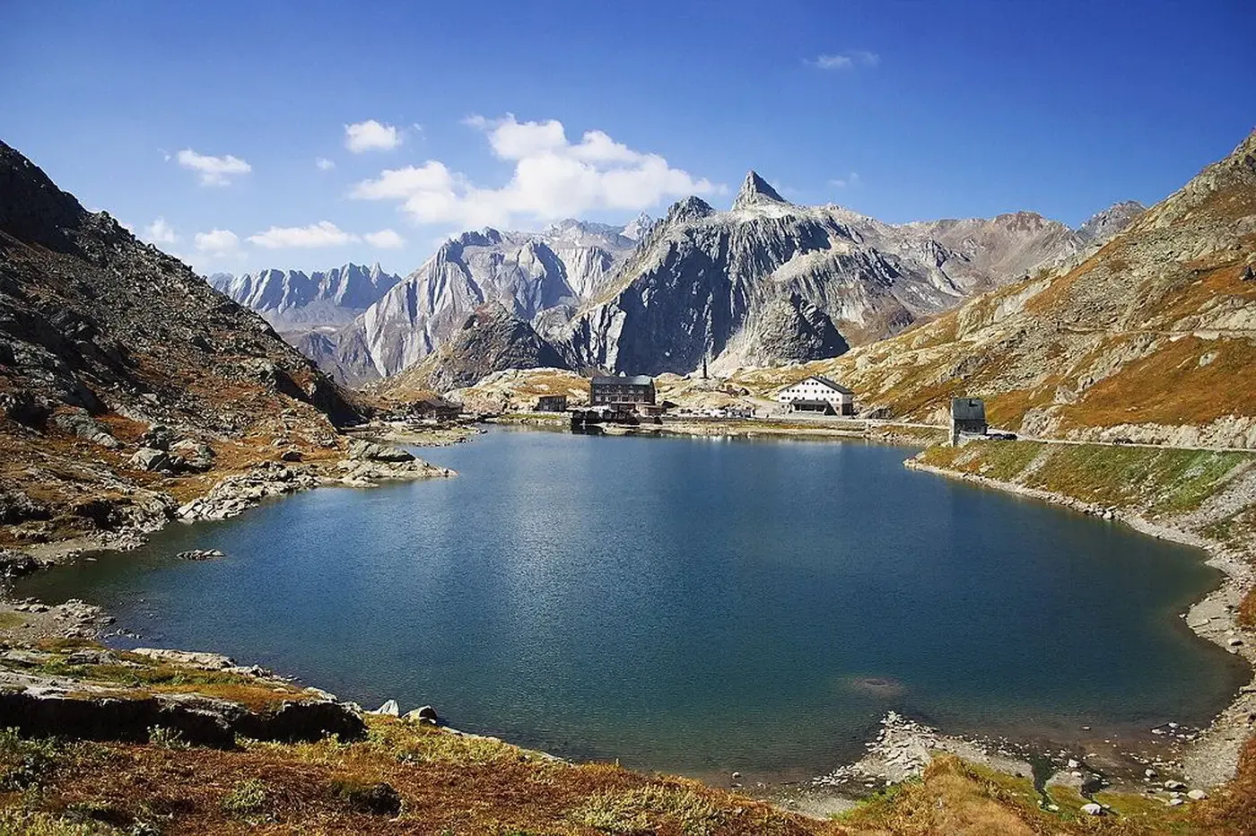
A cycling pilgrimage — history and nature on Italy’s Via Francigena
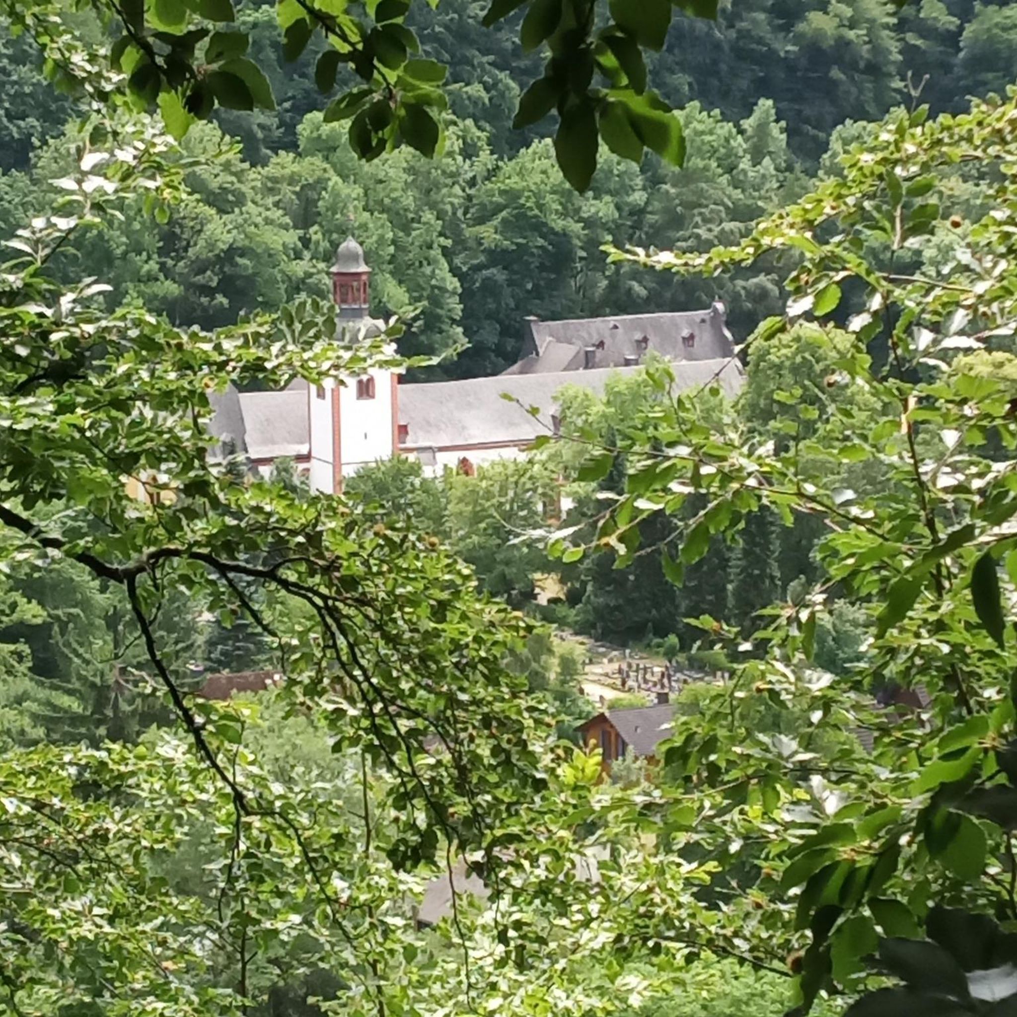
Traffic-free bike rides around Berceto

Traffic-free bike rides around Berceto
Other adventures around Berceto


Tips from the Community

Romanesque parish church of great historical interest, the bas-reliefs on the facade are interesting
0
0

Respiccio is a small Italian hilly hamlet of just 118 inhabitants, located in the municipality of Fornovo di Taro, in the province of Parma (Emilia-Romagna region). The village is situated at an altitude of 192 meters above sea level on the first foothills of the Parma Apennines, along the road connecting Fornovo di Taro to Calestano.
1
0

Beautiful meadows below the Tuscan-Emilian ridge. Ideal for a relaxing walk or a picnic
0
0

A must-see when passing through Calestano
0
0

small village but very suggestive and picturesque to pass by bicycle
0
0

The Ponte della Cresa is a stone bridge built in the 14th century and despite the frequent flooding of the Verde river, it has maintained its original structure to this day. The bridge connects the new neighborhoods with the historic center. The bridge is located along the Verde river near Porta San Francesco. Under the arch of this bridge, on January 31, the characteristic fire of San Geminiano takes place. The Ponte della Cresa is considered by many to be the true symbol of the city of Pontremoli. It is also interesting to note that the name Pontremoli derives from the Latin 'Pons Tremulus', which means 'unsafe bridge'. This was a term used to describe the original conurbation of the city.
0
0
Entrance to Pontremoli from Porta San Francesco
0
0

Beautiful path along the river to enjoy nature and relax
0
0
Frequently Asked Questions
How many no-traffic road cycling routes are available around Berceto?
There are 6 dedicated no-traffic road cycling routes around Berceto listed in this guide. These routes range from moderate to difficult, offering a good challenge for experienced cyclists.
What kind of terrain can I expect on these no-traffic road cycling routes?
The routes around Berceto offer diverse terrain, characterized by the Parma Apennines. You'll encounter challenging climbs and descents through beech and chestnut woods, with significant elevation changes. The region is known for its mountain scenery and wide curves, especially around the Passo della Cisa.
Are there any family-friendly no-traffic road cycling options in Berceto?
While many routes in this guide are rated moderate to difficult, the region does offer varied terrain. For families, it's best to carefully review individual route profiles for elevation and distance to ensure they match your family's cycling ability. Look for routes with gentler slopes or consider shorter sections of longer routes.
What are the best months for no-traffic road cycling in Berceto?
The best months for road cycling in Berceto are typically June and August, when the weather is mild and favorable. However, the strategic position of Berceto generally provides a mild climate throughout the warmer seasons.
Are there any notable landmarks or natural features along these routes?
Yes, Berceto is rich in both natural beauty and historical significance. You might encounter parts of the ancient Via Francigena pilgrimage route. Natural features include the Piscio di Pracchiola Waterfall or the Pessola Stream Waterfalls. The area is also close to the Lake Santo Parmense and the Giovanni Mariotti Mountain Hut at Lago Santo.
Can I find loop routes among the no-traffic road cycling trails?
Yes, several routes are designed as loops. For example, the "Calestano water fountain – Bar Artcafè Calestano loop from Park (inizio giro)" offers a moderate 50 km circuit, and the "Lagdei Hut – Lagdei Hut loop from Berceto" is a challenging 48 km option.
What is the overall rating for road cycling in Berceto by the komoot community?
The komoot community highly rates road cycling in Berceto, with an average score of 4.1 out of 5 stars. Cyclists often praise the region's diverse landscapes, challenging climbs, and the opportunity to explore historical routes like the Via Francigena.
Are there any easy no-traffic road cycling routes for beginners?
Most routes in this guide are rated moderate to difficult, with significant elevation gains. While there are no routes specifically marked as 'easy' in this selection, beginners should look for routes with lower elevation gain and shorter distances, or consider exploring the less challenging sections of the Via Francigena.
Where can I find parking for cyclists in Berceto?
Berceto is a welcoming destination for cyclists. While specific dedicated cyclist parking areas are not detailed, parking is generally available within the village and at trailheads. It's advisable to check local signage upon arrival for the most convenient spots.
Are there any cafes or places to stop for refreshments along these routes?
Yes, the region has a local community cooperative that promotes cycling tourism, and you'll find amenities in and around Berceto. Routes like the "Calestano water fountain – Bar Artcafè Calestano loop from Park (inizio giro)" specifically mention cafes, indicating opportunities for refreshment stops.
What is the most challenging no-traffic road cycling route in this guide?
The "Historic Center of Pontremoli loop from Poderi" is one of the most challenging routes listed, covering nearly 40 km with over 1100 meters of elevation gain, making it suitable for advanced cyclists.
Most popular attractions around Berceto

Get inspired with the komoot mobile app


Explore more
Browse the best Road cycling routes in other regions.
