The best traffic-free bike rides around Cavarzere
4.5
(6)
388
riders
12
rides
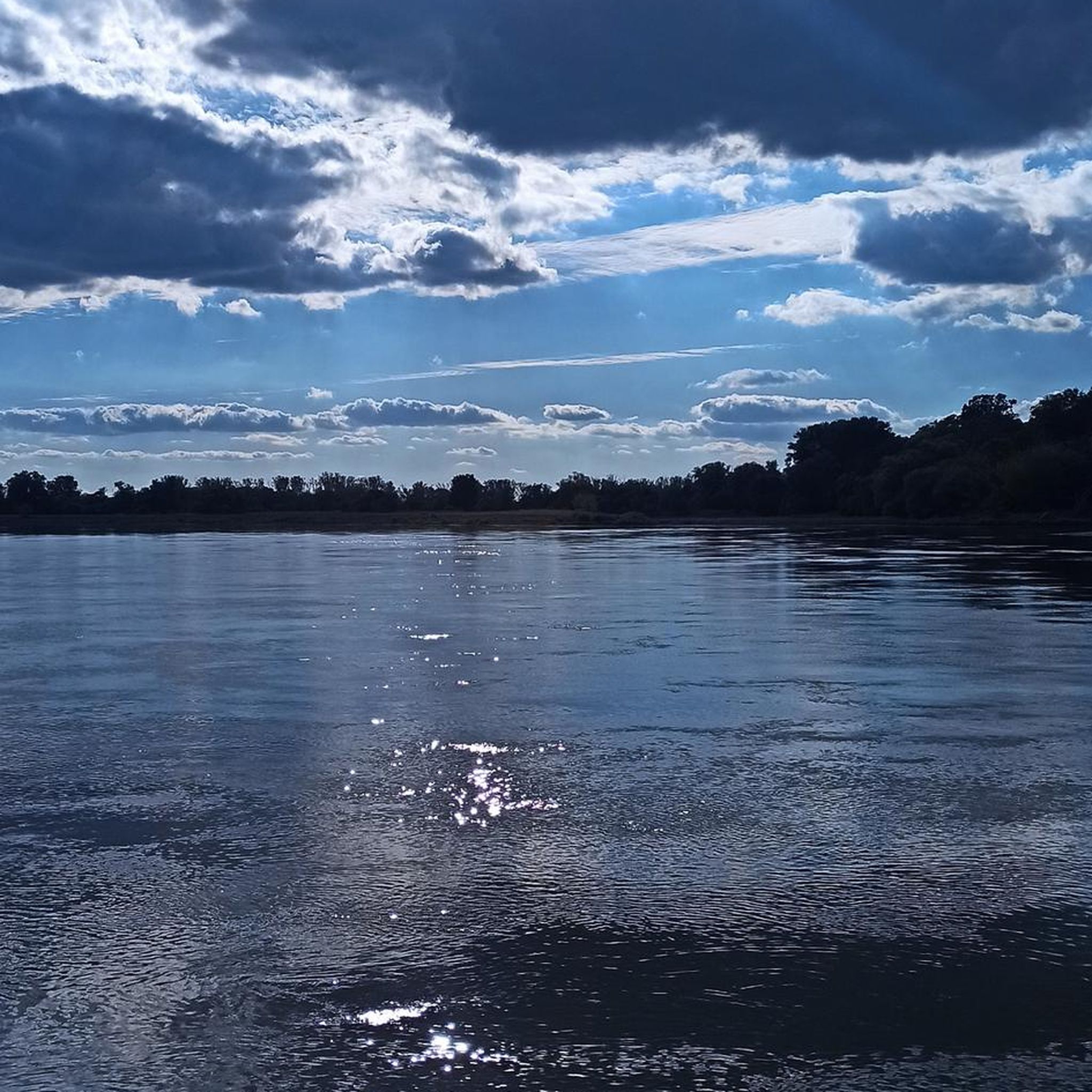
No traffic road cycling routes around Cavarzere benefit from the municipality's distinctly flat terrain, characteristic of the Veneto-Friuli Plain. This landscape provides an environment suitable for riders of all skill levels, with minimal elevation changes. The region is extensively crisscrossed by numerous canals and rivers, including the Adige, Gorzone, and Botta, which form scenic routes along their banks. This network of waterways and the surrounding rural Italian landscape define the cycling experience.
Best no traffic road cycling routes around Cavarzere
…Last updated: October 17, 2026
45
riders
Moderate road ride. Good fitness required. Mostly well-paved surfaces and easy to ride.
62
riders
Moderate road ride. Good fitness required. Mostly well-paved surfaces and easy to ride.

16
riders
Easy road ride. Great for any fitness level. Mostly well-paved surfaces and easy to ride.
11
riders
27.8km
01:05
30m
30m
Moderate road ride. Great for any fitness level. Some segments of this route may be unpaved and difficult to ride.
13
riders
Easy road ride. Great for any fitness level. Mostly well-paved surfaces and easy to ride.
Get access to more routes and recommendations from other explorers.
Already have an account?
Our route recommendations are based on thousands of hikes, rides, and runs completed by other people on komoot.
Start today with a free account
Your next adventure awaits.
Popular around Cavarzere

Tips from the Community

Along the pier leading to the lighthouse, you can visit beautiful "Trabucchi", traditional fishing constructions.
0
0
An absolutely worthwhile canal along which one can stroll. The colorful houses, paired with small Venetian-style palaces, are real eye-catchers. Nine bridges lead from one district to another.
0
0
An absolutely must-see canal that can be strolled along. The colorful houses, paired with small Venetian-style palaces, are real eye-catchers. You can get from one district to another via nine bridges.
0
0
The beach promenade has a wide walkway, next to it runs the bike path, and next to this a two-lane carriageway for cars. This way, everyone can enjoy a stroll.
0
0
An absolutely must-see canal that can be strolled along. The colorful houses, paired with small Venetian-style palaces, are real eye-catchers. You can get from one district to another via nine bridges.
0
0

Start of the Sottomarina pier leading to the lighthouse.
0
0

Canal Vena is always worth a photo again.
1
0

The Canal Vena is the most picturesque and vital waterway in Chioggia, often described as the city's "Grand Canal". What makes it unique are its nine bridges, each with its own history and appearance, connecting the side foundations and allowing passage between the alleys. The most majestic is undoubtedly the Ponte di Vigo, located at the northern end of the canal, towards the lagoon. Built of marble in 1685, it represents the monumental gateway to the city: with its imposing staircase and elegant decorations, it offers a spectacular view that ranges from the canal to the nearby island of Pellestrina. The other eight bridges, such as the Ponte di San Giacomo or the Ponte Caneva, follow one another along the route, offering postcard-worthy glimpses between moored boats and historic markets. These passages are not just architectural structures, but the beating heart of Chioggia life, where the Venetian atmosphere blends with the authenticity of the fishing village.
0
0
Frequently Asked Questions
How many no-traffic road cycling routes are available around Cavarzere?
There are 13 dedicated no-traffic road cycling routes around Cavarzere listed on komoot, offering a variety of experiences for cyclists. Most of these routes are rated as moderate, with one easy option available.
Are there any easy no-traffic road cycling routes suitable for beginners or families in Cavarzere?
Yes, Cavarzere's flat terrain makes it generally accessible. For an easy, no-traffic option, consider the DeltArte murals in Loreo – Loreo Canal and Clock Tower loop from Cavarzere. This route is approximately 36.5 km long and offers a gentle ride, perfect for those looking for a relaxed experience.
What kind of landscapes can I expect on no-traffic road cycling routes in Cavarzere?
Cavarzere's routes are characterized by the flat Veneto-Friuli Plain, offering extensive views of the rural Italian landscape. You'll frequently cycle alongside numerous waterways, including the Adige River and various canals like the Gorzone and Botta, providing picturesque and serene backdrops. The area's proximity to the Po Delta also means you might encounter marshy areas and rich biodiversity.
Are there any circular no-traffic road cycling routes in Cavarzere?
Yes, many of the no-traffic road cycling routes in Cavarzere are designed as loops. For example, the Monument to Flavio Busonera – Ponte Dolfina loop from Cavarzere offers a substantial 57.9 km circular ride, while the Ponte Dolfina – Cavarzere Clock Tower loop from Cavarzere centro is a shorter 27.8 km option.
What natural features or wildlife can I see along the no-traffic road cycling routes?
The region is rich in natural beauty, especially around its waterways. You might spot various bird species, including herons and cranes, particularly near the Marice Special Protection Area. The proximity to the Po Delta also offers opportunities to observe diverse birdlife, including flamingos, along lagoon banks and fishing valleys. The routes often follow the Adige River and other canals, providing scenic views of the water and surrounding marshlands.
Are there any historical or cultural attractions accessible from the no-traffic road cycling routes?
Yes, Cavarzere offers several historical points of interest. You can find the impressive Palazzo Barbiani, which houses the town hall and features a tall bell tower. The Duomo San Mauro is another notable historical attraction. Some routes might also take you near the Vigo Bridge or the Canal Vena in Chioggia, offering glimpses into the region's heritage.
What do other road cyclists enjoy most about no-traffic cycling in Cavarzere?
The komoot community rates the cycling experience in Cavarzere highly, with an average score of 4.0 stars. Reviewers often praise the region's flat, car-free roads, which make for relaxed and enjoyable rides. The scenic routes along the Adige River and canals, combined with the peaceful rural atmosphere, are frequently highlighted as major draws.
Are there any routes that connect to larger cycling networks like EuroVelo?
Yes, some routes in Cavarzere connect to broader European cycling networks. For instance, the EuroVelo 8 Near Tornova – Ponte Dolfina loop from Cavarzere centro incorporates a section of the EuroVelo 8 route, allowing you to experience a part of this extensive network.
What is the best time of year for no-traffic road biking in Cavarzere?
The flat terrain of Cavarzere makes it suitable for cycling for much of the year. Spring and autumn generally offer the most pleasant temperatures for road biking, with comfortable weather and beautiful scenery. Summer can be warm, but early mornings or late afternoons are still enjoyable. Winter rides are also possible, though you should be prepared for cooler temperatures.
Are there any specific natural reserves or protected areas that can be explored by bike?
Yes, the Marice Special Protection Area (ZPS), a significant marshy area, is located near the center of Cavarzere. While direct cycling paths might not go through the most sensitive parts, routes in the vicinity allow you to experience this important biodiversity hotspot. Additionally, the region's proximity to the Po Delta Regional Park, with its Via delle Valli, offers further opportunities to explore protected natural landscapes.
Can I find routes that offer views of lakes or wetlands?
Absolutely. Cavarzere is situated in a region rich with waterways and wetlands. Routes often follow canals and rivers, providing views of the aquatic landscape. You can also find nearby highlights such as the Valli di Comacchio Wetlands, Oasi di Ca' di Mezzo, and Oasi del Gorgo Leze, which are important natural areas to explore.
Most popular attractions around Cavarzere

Get inspired with the komoot mobile app


Explore more
Browse the best Road cycling routes in other regions.
