The best traffic-free bike rides around Cantù
4.3
(967)
29,149
riders
36
rides
Road cycling around Cantù, located in Italy's Lombardy region, features diverse landscapes ideal for no traffic road cycling routes. The terrain encompasses picturesque lakes such as Montorfano, Pusiano, and Alserio, providing serene backdrops for rides. The area also includes varied elevation changes, from rolling hills to more challenging climbs towards peaks like Mount Bolettone, part of the Como triangle ridge. Roads are predominantly paved, offering a mix of conditions suitable for various skill levels.
Best no traffic road cycling routes…
Last updated: August 23, 2026
4.0
(2)
58
riders
14.5km
01:02
490m
490m
Moderate road ride. Good fitness required. Mostly well-paved surfaces and easy to ride.
4.9
(16)
340
riders
51.6km
03:03
1,190m
1,190m
Hard road ride. Very good fitness required. Mostly well-paved surfaces and easy to ride.

Sign up for free
4.7
(6)
93
riders
31.3km
01:49
720m
720m
Moderate road ride. Good fitness required. Mostly well-paved surfaces and easy to ride.
4.0
(3)
73
riders
52.7km
02:48
930m
930m
Hard road ride. Very good fitness required. Mostly well-paved surfaces and easy to ride.
5.0
(3)
98
riders
Moderate road ride. Good fitness required. Mostly well-paved surfaces and easy to ride.
Get access to more routes and recommendations from other explorers.
Sign up for free
Already have an account?
Our route recommendations are based on thousands of hikes, rides, and runs completed by other people on komoot.
Start today with a free account
Your next adventure awaits.
Login or Signup
Popular around Cantù

Tips from the Community

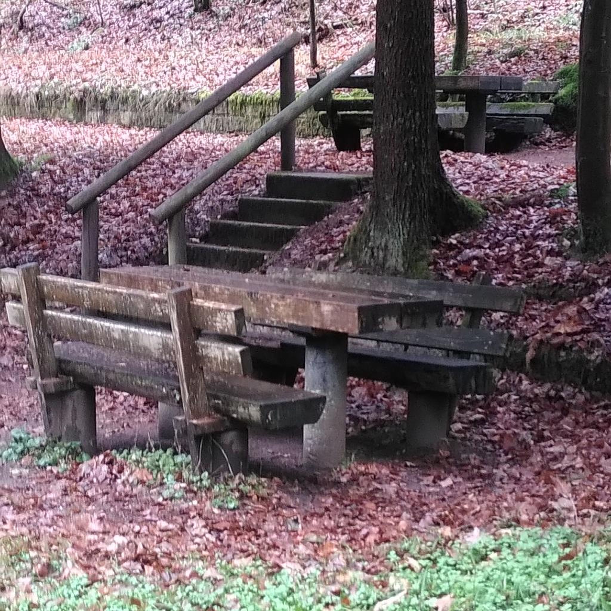
A nice place to stroll.
2
0

The climb to Alpe del Viceré from Albavilla is a classic ascent of the Larian Triangle. It measures about 5.4 km with an elevation gain of 465 meters and an average gradient of 8.5%. It features challenging sections with gradients up to 12%, followed by more rideable sections before the finish. Route details Start: Albavilla Centre (approx. 430 m a.s.l.). Finish: Alpe del Viceré Park (903 m a.s.l.). Average gradient: 8.5%. Maximum gradient: Approx. 12% (located around the 3rd kilometer).
0
0

Montorfano is a small village named after the mountain that overlooks it, a limestone outcrop so named because it rises isolated from the pre-Alpine mountain range behind it. Legend has it that the tears of the mountain, shed for its solitude, gave rise to a body of water, Lake Montorfano, one of the smaller lakes in Brianza.
0
0

Like Like Like Lungo Lago
1
0

Be careful of the traffic, but all in all very suggestive…
0
0

Nice characteristic place
1
0

VALLEYS THAT LEAD FROM MONTORFANO TO CAPIAGO INTIMIANO
1
0
BEAUTIFUL LITTLE VILLAGE IN THE NORTH OF BRIANZA COMASCA
1
0
Frequently Asked Questions
How many no traffic road cycling routes are available around Cantù?
There are over 35 dedicated no traffic road cycling routes around Cantù, offering a variety of options for different skill levels. You'll find 10 easy routes, 24 moderate routes, and 3 difficult routes to explore.
What are some easy no traffic road cycling routes for beginners or casual riders?
For an easier ride, consider the Lakeside Fountains of Alserio – Gardens on Lake Alserio loop from Cantù. This moderate route offers gentle elevation changes and beautiful views of Lake Alserio, making it suitable for a relaxed outing.
Are there any challenging no traffic road cycling routes for experienced riders?
Yes, for a more demanding experience, the Volta Temple – Scudellate Village loop from Como Nord Borghi is a difficult route with significant elevation gain, perfect for advanced cyclists seeking a challenge.
Can I find routes that offer scenic views of the lakes?
Absolutely. Many routes in the Cantù area feature stunning lake views. For example, the Montorfano Lake Trail – Alpe del Viceré Park loop from Cantù offers picturesque vistas of Lake Montorfano. The region's proximity to Lake Como also means many routes incorporate its breathtaking scenery.
What kind of terrain can I expect on these traffic-free routes?
The terrain around Cantù is quite diverse. You'll find mostly paved surfaces suitable for road bikes, with some routes incorporating rolling hills and others featuring more significant climbs, especially towards areas like Mount Bolettone. The varied landscape ensures a mix of flat lakeside paths and more challenging ascents.
What is the best time of year for no traffic road cycling in Cantù?
The mild climate in Lombardy allows for year-round riding. However, spring and autumn are generally considered ideal seasons for road cycling around Cantù. The weather is pleasant, and the natural scenery is particularly vibrant or colorful, enhancing the riding experience.
Are there any specific landmarks or attractions I can visit along these routes?
Yes, several routes pass by notable attractions. You can cycle towards the Baita San Pietro for a viewpoint, or incorporate a visit to the Voltiano Lighthouse in Brunate, which offers panoramic views of Como and Lake Como. The iconic Santuario della Madonna del Ghisallo e Museo del Ciclismo, while further afield, is also a significant cycling landmark in the broader Lake Como area.
Where can I park my car to access these traffic-free routes?
Parking availability varies by route starting point. Many routes begin in or near towns like Cantù, Como, or Albate-Trecallo, where public parking lots are typically available. It's advisable to check the specific route details on komoot for recommended starting points and parking information.
Is it possible to reach these routes using public transport?
Cantù and nearby towns are generally well-connected by regional public transport, including train and bus services. You can often reach starting points of routes from major hubs. However, specific public transport options for carrying bikes may vary, so it's best to check local transport schedules and regulations beforehand.
What do other cyclists say about the no traffic road cycling routes in Cantù?
The area is highly rated by the komoot community, with an average score of 3.98 stars from 29 ratings. Reviewers often praise the beautiful lake views, the variety of terrain, and the opportunity to enjoy peaceful rides away from heavy traffic.
Are there any longer distance traffic-free road cycling options near Cantù?
For a longer ride, consider routes that extend into the broader Lake Como region. The Ring tour from Camnago Volta to Brunate, while moderate, offers a substantial distance and connects to areas with further cycling possibilities, allowing for extended exploration.
Are there any routes that pass by places to stop for refreshments or cafes?
Many routes in the Cantù area pass through or near small towns and villages where you can find cafes, bakeries, and restaurants. For instance, routes around the lakes often have establishments along the shore. Additionally, places like Capanna Mara, a hut on the way to Monte Bolettone, offer local products and serve as a stopping point.
Most popular attractions around Cantù

Get inspired with the komoot mobile app


Explore more
Browse the best Road cycling routes in other regions.
