The best traffic-free bike rides around Turrivalignani
4.6
(76)
2,379
riders
7
rides
No traffic road cycling routes around Turrivalignani are situated within the Pescara Valley, offering access to the diverse landscapes of the Abruzzese Apennine mountains. The region features a mix of rolling hills covered with olive and wine groves, rugged "calanchi" formations, and the Alento river valley. Road cyclists can expect varied terrain, from gentle ascents through agricultural areas to more challenging climbs towards the Majella massif. This area provides a base for exploring the rich road cycling opportunities of Abruzzo.
…Last updated: July 13, 2026
363
riders
85.4km
04:28
1,370m
1,370m
Hard road ride. Very good fitness required. Some segments of this route may be unpaved and difficult to ride.
4.8
(4)
101
riders
47.4km
03:11
1,560m
1,560m
Hard road ride. Very good fitness required. Mostly well-paved surfaces and easy to ride.

Sign up for free
5.0
(4)
192
riders
82.9km
05:23
2,510m
2,510m
Hard road ride. Very good fitness required. Some segments of this route may be unpaved and difficult to ride.
2.0
(1)
10
riders
55.8km
02:52
960m
960m
Hard road ride. Very good fitness required. Mostly well-paved surfaces and easy to ride.
7
riders
34.7km
02:02
760m
760m
Moderate road ride. Good fitness required. Mostly well-paved surfaces and easy to ride.
Get access to more routes and recommendations from other explorers.
Sign up for free
Already have an account?
Our route recommendations are based on thousands of hikes, rides, and runs completed by other people on komoot.
Start today with a free account
Your next adventure awaits.
Login or Signup
Popular around Turrivalignani

Tips from the Community

The inhabitants of Abruzzo and the neighboring region of Lazio have their own local observation related to this Passo Lanciano. When the sun sets in the spring behind the mighty Majella massif, it quickly gets dark on the Abruzzo side (i.e., where Passo Lanciano is located) and dusk falls, while on the other side of the mountains, in Lazio, it is still bright daylight. Locals joke that at the same moment, one half of Italy goes to sleep, and the other goes for an aperitivo.
0
0

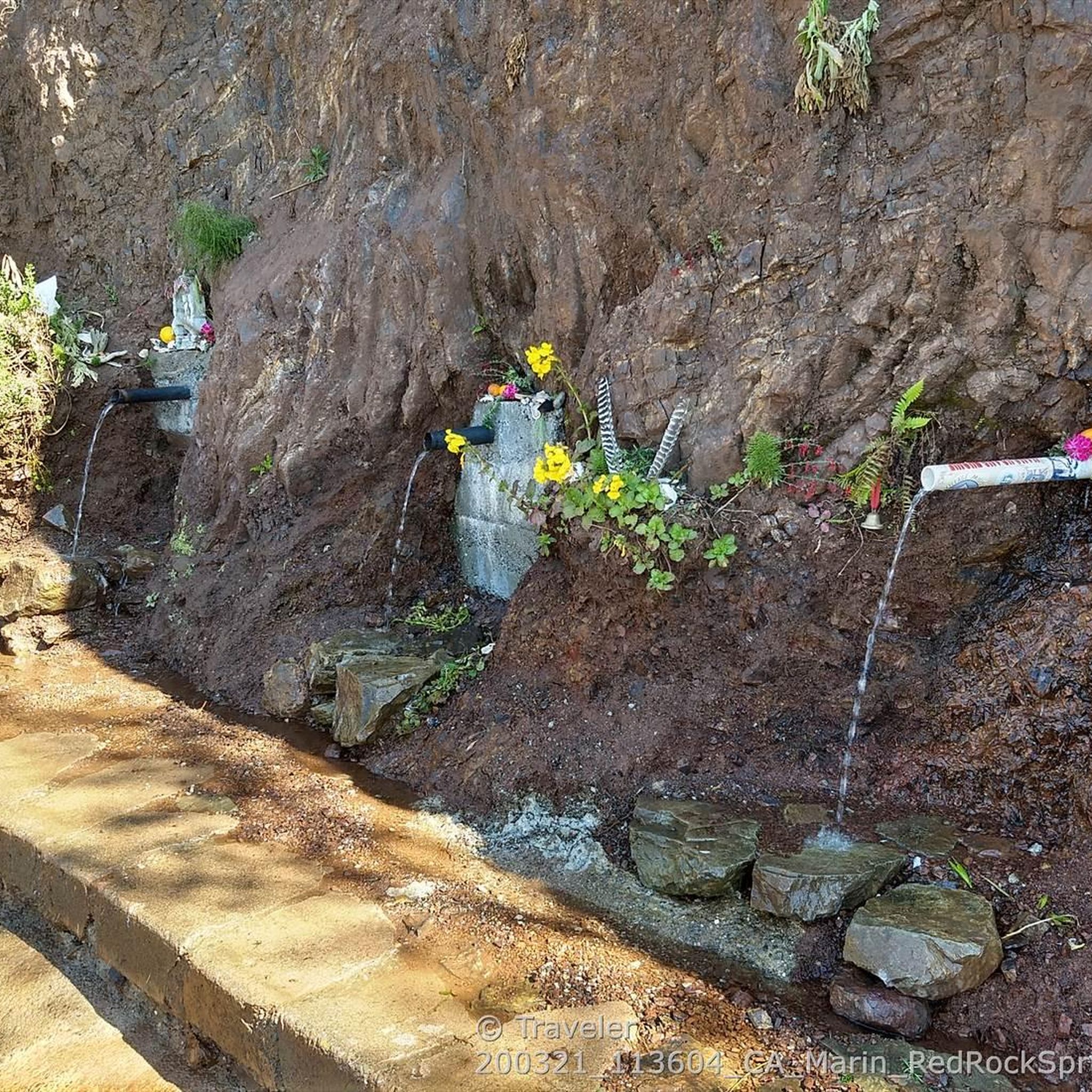
after 13 kilometers of climbing, it's a very appreciable refreshment stop
0
0
Very challenging climb, with very few places to catch your breath and several long stretches at 14%. The view, however, is truly beautiful and offers great satisfaction when you reach the end of the climb.
0
0


The history of the Eddy Merckx Monument, located in Roccamorice on the ramps leading to the Blockhaus, is a tale that inextricably links the Belgian champion to the Maiella massif, celebrating both sporting glory and human generosity. Its roots lie in a day that changed the history of mountain cycling: a stage of the 1970 Giro d'Italia, the first time the Giro challenged the summit of the Blockhaus. On that occasion, a young Merckx—soon known as the "Cannibal"—accomplished a momentous feat, outlasting all his opponents and securing a victory that became legendary. But it was a gesture that followed the victory that cemented the community's affection: it is said that Merckx, immediately after his triumph, donated the prize money to charity. To honor this dual legacy, sporting and moral, and in anticipation of the centennial of the Giro d'Italia, the municipality of Roccamorice promoted the erection of a monument. The work was created by local craftsman Franco Aceto and sculpted from the typical white Maiella stone, and was inaugurated on May 13, 2017. Since then, the monument has become a landmark and a true cycling sanctuary for all who tackle the climb, a tangible symbol of the strength, history, and altruism that have transformed the Blockhaus into a timeless legend.
0
0

It lacks nothing to be compared to many of the great Alpine climbs, 8% average for 19.6 from Roccamorice, the hardest and most panoramic side
0
0

This stretch is very panoramic: it offers beautiful views of the rolling hills.
1
0
Frequently Asked Questions
How many no traffic road cycling routes are available around Turrivalignani?
There are 8 dedicated no traffic road cycling routes around Turrivalignani listed in this guide. These routes offer a variety of distances and elevations, perfect for exploring the Pescara Valley and its surroundings without heavy vehicle interference.
What kind of landscapes can I expect on these no traffic road cycling routes?
The routes around Turrivalignani traverse a diverse landscape, from endless hills carpeted with vineyards and olive groves to the foothills of the majestic Maiella massif. You'll encounter rugged 'calanchi' (gullies) and enjoy views of wide valleys stretching towards the Adriatic coast. The region's blend of mountains, valleys, and agricultural areas provides a rich visual experience.
Are there challenging no traffic road cycling routes for experienced riders?
Yes, for experienced riders seeking a challenge, there are several difficult routes. For instance, the Majelletta Summit – Blockhaus Climb loop from Torre de' Passeri offers a significant ascent of over 2000 meters across 68 kilometers. Another demanding option is the Majelletta Summit – Blockhaus Climb loop from Roccamorice, which covers nearly 28 kilometers with over 1100 meters of elevation gain.
Are there any easier no traffic road cycling routes around Turrivalignani?
While all routes in this guide are rated moderate to difficult, some offer a less extreme challenge. The View of the Majella – Vineyards in the Hills loop from Torre de' Passeri is a moderate 45-kilometer ride with around 700 meters of elevation, providing beautiful views without the intense climbs of the Blockhaus routes.
What natural attractions can I see while road cycling in the Turrivalignani area?
The region boasts several natural wonders. You might encounter the unique 'calanchi' formations or enjoy the serene environment of the Alento river. The Alento River Waterfalls offer a refreshing stop, and the Sant'Angelo Cave provides a glimpse into the region's geological past. The Pineta, a pine forest in the Belvedere area, also offers green spaces and panoramic views.
Are there historical or cultural sites to visit along the no traffic road cycling routes?
Absolutely. Turrivalignani itself grew around the Abbey of San Giovanni Battista and San Vincenzo. Nearby, you can find the significant medieval architecture of the Abbey of San Liberatore a Maiella. Other points of interest include the 14th-century parish church of Santo Stefano and the Serramonacesca settlement. The Hermitage of Saint Bartholomew in Legio is another notable religious site.
What do other road cyclists enjoy the most about road cycling in Turrivalignani?
The area is highly rated by the komoot community, with an average score of 4.6 stars. Reviewers often praise the stunning panoramic views, the quiet roads perfect for no-traffic cycling, and the diverse landscapes that combine challenging climbs with scenic descents through vineyards and olive groves.
Are there any circular no traffic road bike trails?
Yes, many of the routes are designed as loops, allowing you to start and end in the same location. Examples include the Castello Gizzi – Roman-era fountain loop from Torre de' Passeri and the Vineyards in the Hills loop from Pescara, providing convenient options for your ride.
What is the best time of year for no traffic road biking in Turrivalignani?
Abruzzo generally offers excellent cycling conditions for much of the year. Spring and autumn provide pleasant temperatures, ideal for tackling the climbs and enjoying the scenery. Summer can be warm, but routes in higher elevations or those passing by natural features like the Alento River Waterfalls can offer cooler retreats. Winter cycling is possible, especially on lower elevation routes, but higher mountain passes may be inaccessible due to snow.
Where can I find parking for no traffic road cycling routes near Turrivalignani?
Many of the routes listed start from villages like Torre de' Passeri or Roccamorice, which typically offer public parking options. It's advisable to check local parking availability in these starting points before your ride. Given the focus on no-traffic routes, parking in smaller villages often provides a convenient and safe starting point away from busy roads.
Can I reach Turrivalignani by public transport for cycling?
Turrivalignani is located in the Pescara Valley. While specific public transport links directly to Turrivalignani for cyclists might be limited, the broader Abruzzo region is well-connected. You may be able to reach nearby larger towns by train or bus and then cycle to Turrivalignani or the starting points of the routes. Always check current schedules and bicycle carriage policies with local transport providers.
Are there places to eat or drink along the no traffic road cycling routes?
The routes often pass through or near charming villages in the Pescara countryside. These villages, such as Torre de' Passeri, Roccamorice, or even Pescara for some routes, typically offer cafes, restaurants, and small shops where you can refuel and enjoy local Abruzzese cuisine. It's always a good idea to carry sufficient water and snacks, especially on longer or more remote sections.
Most popular attractions around Turrivalignani

Get inspired with the komoot mobile app


Explore more
Browse the best Road cycling routes in other regions.
