The best road cycling routes around Mainstockheim
4.5
(504)
7,450
riders
259
rides
Road cycling around Mainstockheim is characterized by its location along the Main River and amidst extensive vineyards, offering a diverse landscape for cyclists. The region features generally flat terrain, particularly along the Main Cycle Route, making it accessible for various skill levels. Cyclists can expect scenic riverside paths and routes winding through the Franconian Wine Country, providing panoramic views. This blend of river valleys and vineyard-covered hills defines the area's road cycling experience.
Best road cycling routes around Mainstockheim
- The…
Last updated: July 8, 2026
9
riders
Hard road ride. Very good fitness required. Mostly well-paved surfaces and easy to ride.
21
riders
Moderate road ride. Good fitness required. Mostly well-paved surfaces and easy to ride.

Sign up for free
17
riders
Moderate road ride. Good fitness required. Mostly well-paved surfaces and easy to ride.
12
riders
Easy road ride. Great for any fitness level. Mostly well-paved surfaces and easy to ride.
4.0
(1)
12
riders
Easy road ride. Great for any fitness level. Mostly well-paved surfaces and easy to ride.
Get access to more routes and recommendations from other explorers.
Sign up for free
Already have an account?
Our route recommendations are based on thousands of hikes, rides, and runs completed by other people on komoot.
Start today with a free account
Your next adventure awaits.
Login or Signup
Tips from the Community

The half-timbered houses, with their creaking wooden shutters and colorful facades, line up as if in a picture book. Particularly impressive is St. Nicholas Church with its slender tower, which rises majestically above the rooftops. 🏛️🔔
0
0

Marktbreit is a very popular town with tourists. Especially cyclists enjoy the banks of the Main for cycling tours or bike hikes. Electric bikes are now very popular for this purpose. Charging cables are available during opening hours at the Tourist Information Office of the town of Marktbreit, Mainstraße 6. At the charging station, 3 e-bikes can charge their batteries at the same time.
0
0

This medieval city wall in Mainbernheim is truly impressive! It's still almost completely preserved and surrounds the entire old town. A walk along the wall is like a little journey back in time.
3
0

The Main, with a length of 527 kilometers, is the longest right-hand tributary of the Rhine. The Main's source rivers originate in the Fichtel Mountains (White Main) and the Franconian Jura (Red Main). On the western edge of the town of Kulmbach, in the Melkendorf district, near Steinenhausen Castle, the two source rivers merge to form the Main River itself. Despite many marked changes of direction, the river maintains its main flow direction from east to west – rare in Central Europe – and touches several Franconian low mountain ranges. Large parts of the Franconian wine-growing region and numerous, partly well-preserved, historic town centers lie along the Main. The Main flows through large metropolitan areas around Würzburg and Frankfurt. Opposite Mainz's old town – between Ginsheim-Gustavsburg and the Maaraue in Mainz-Kostheim – it flows into the Rhine. From there (kilometer 0) upstream to above the railway bridge near Hallstadt (kilometer 387.69)[1], the Main (Ma) is a federal waterway. The Main is not exceptionally long, but nevertheless a historically and geographically important river. In late antiquity, its lower reaches between Miltenberg and Großkrotzenburg formed a short section of the outer border of the province of Upper Germany of the Roman Empire. In the 19th century, the Main line separated the spheres of influence of the two major German powers, Austria and Prussia, within the German Confederation, with its seat in Frankfurt directly on the Main. The Main River, which actually runs for long stretches through Upper Germany, is neither a dialect nor a cultural border, but it is widely understood that the Main line divides Germany into a northern and southern part. In terms of transport, the Rhine-Main region is the center of Germany and Europe.
0
0

Status as of May 2025 Almost perfect asphalt, making for a great ride. Coming from Marktsteft toward KT, there are a few hidden elevation gains – a false flat, so don't overexert yourself on them ;-)
0
0

In the heart of Marktbreit is the famous Malerwinkelhaus, built in the 15th century. This historic half-timbered house has always attracted artists and visitors and is now a popular photo subject for tourists from all over the world.
5
0

Imposing building of the city administration... especially viewed from the gable side
10
0
The Iphöfer Marktplatz Wine Festival always takes place on the second weekend in July on the historic market square.
4
0
Frequently Asked Questions
What is the general terrain like for road cycling around Mainstockheim?
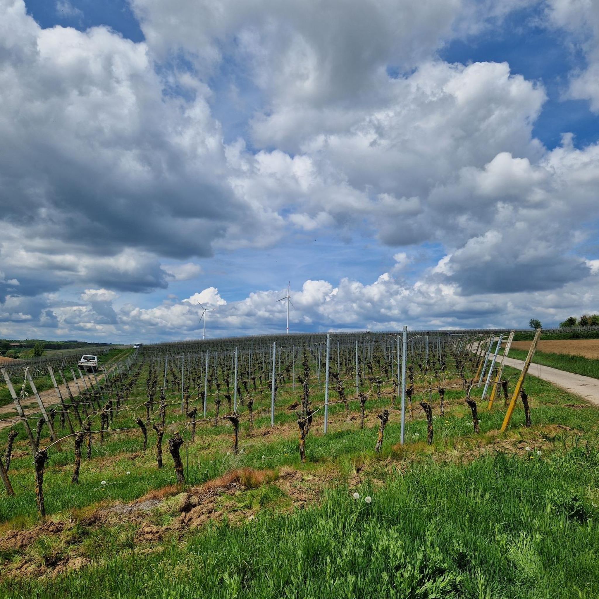
The region around Mainstockheim offers a diverse landscape for road cyclists. You can expect generally flat terrain, especially along the Main River Valley, which is ideal for leisurely rides. Additionally, routes wind through extensive vineyards, providing gentle climbs and panoramic views of the Franconian Wine Country.
How many road cycling routes are available in Mainstockheim, and what are their difficulty levels?
There are over 260 road cycling routes around Mainstockheim listed on komoot. These routes cater to various skill levels, with 54 easy routes, 177 moderate routes, and 30 difficult routes available for exploration.
Are there any family-friendly road cycling routes in Mainstockheim?
Yes, the generally flat terrain along the Main River Valley makes many routes highly suitable for families and beginners. For an easy and scenic option, consider the View of Kitzingen – View of Marktbreit loop from Buchbrunn-Mainstockheim, which offers pleasant views of the Main River and surrounding towns.
What kind of scenic views can I expect while road cycling in Mainstockheim?
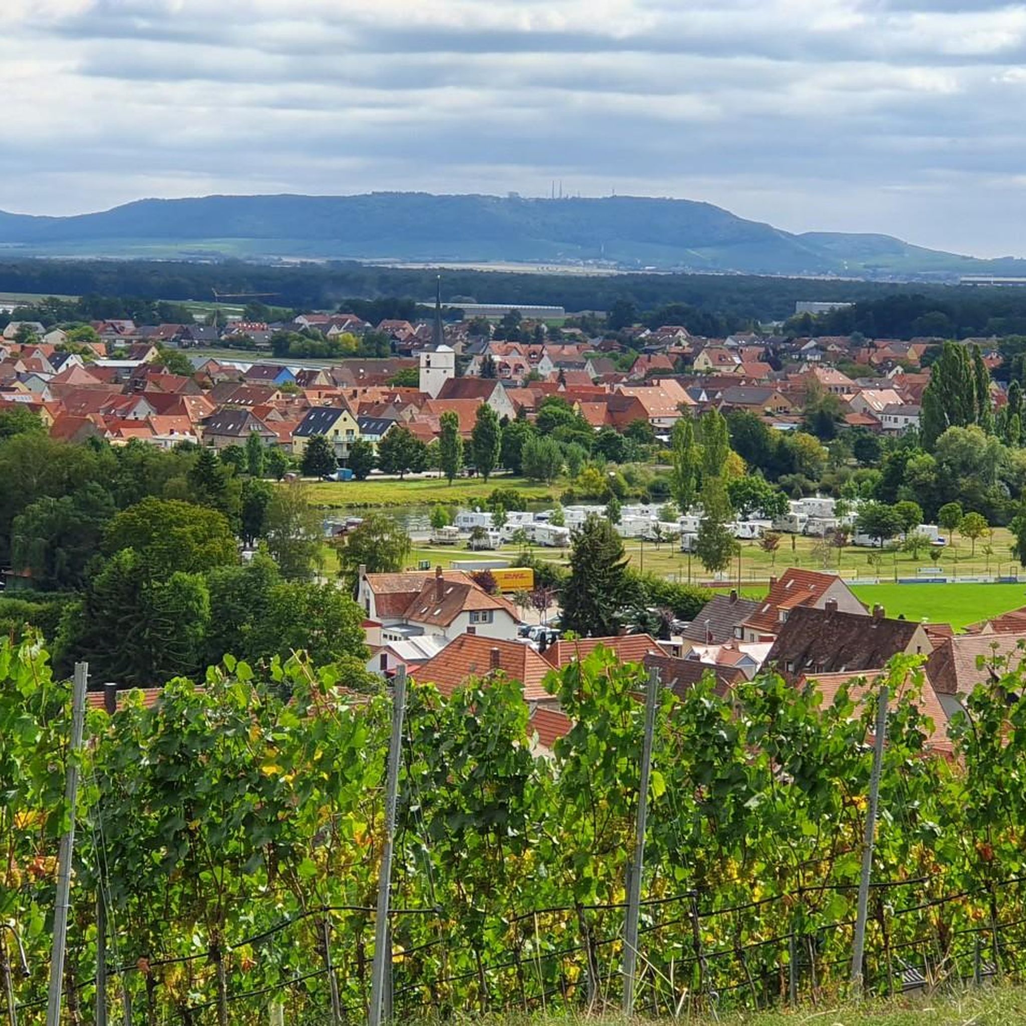
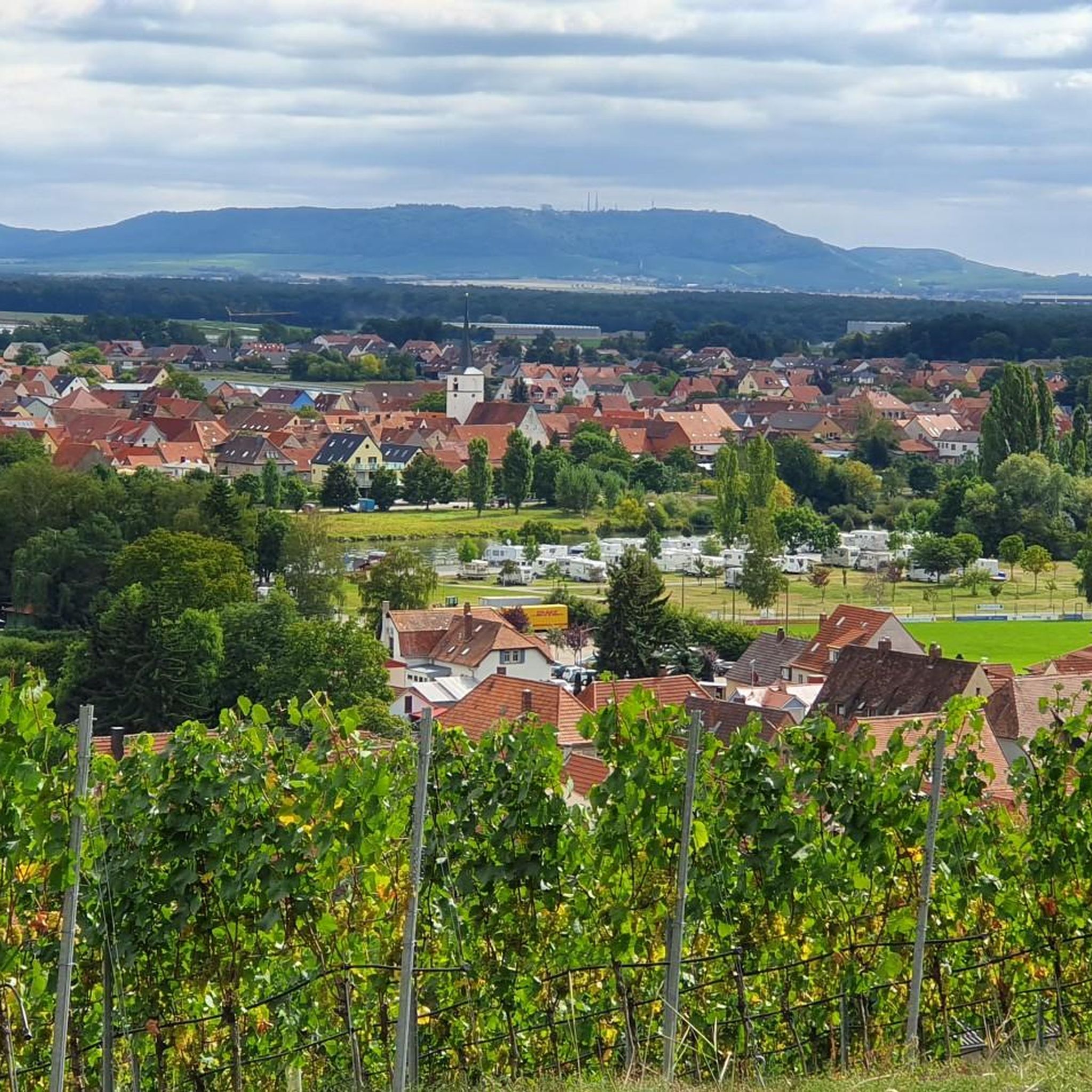
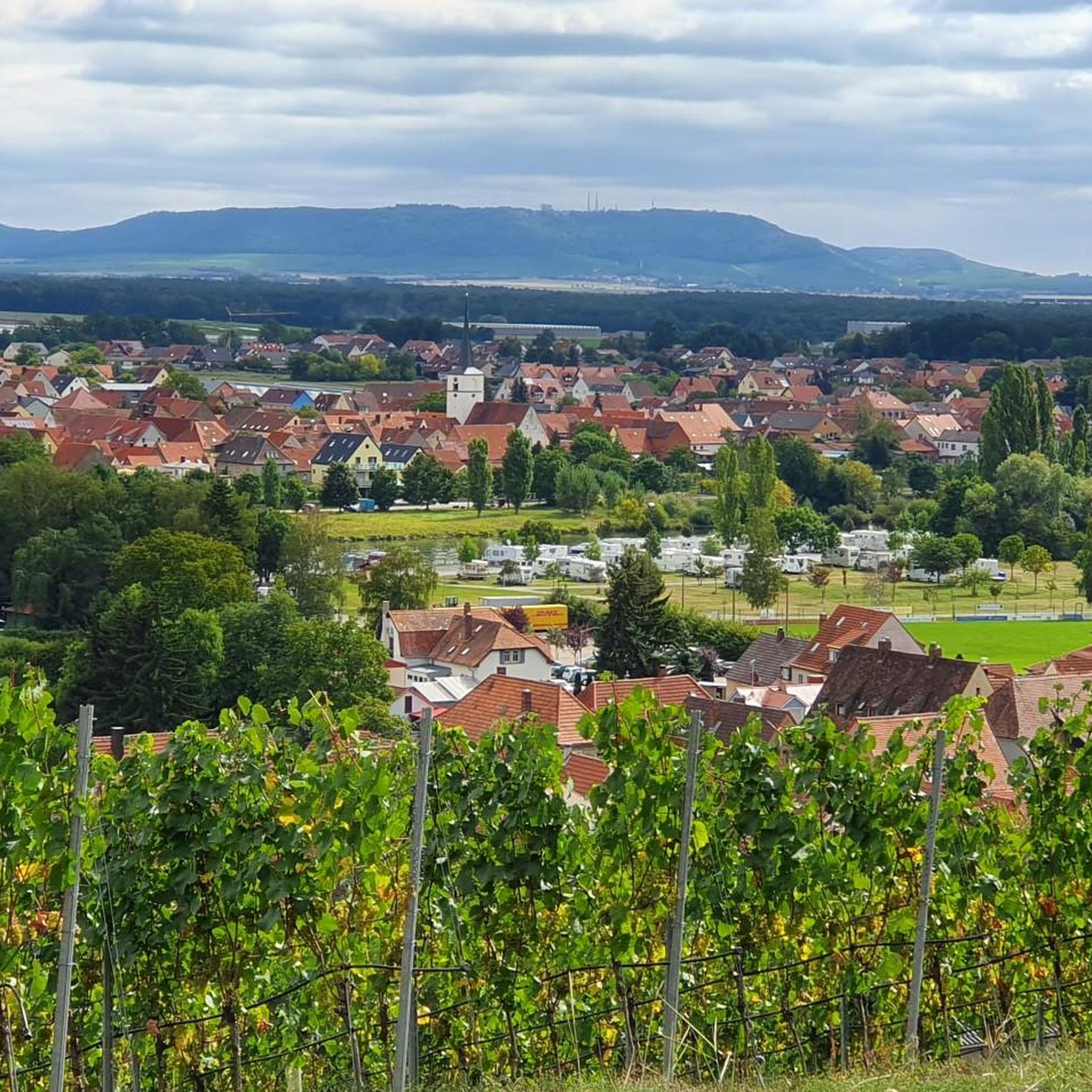
Road cycling in Mainstockheim offers a blend of picturesque landscapes. You'll experience stunning views of the Main River, cycle through lush vineyards, and pass charming villages. Many routes, such as the View of Kitzingen – View from the Schwanberg loop from Buchbrunn-Mainstockheim, specifically highlight the beautiful vineyard landscapes.
Are there any historical landmarks or interesting towns to visit along the road cycling routes?
Absolutely. Mainstockheim itself boasts historical landmarks like a castle, St. Jakobus Church, and the historic ferry house. Cycling routes often lead to nearby charming towns such as Dettelbach, with its historic Old Town (Dettelbach Old Town), and Kitzingen, known for its Old Main Bridge. You can also explore the Escherndorf Wine Village.
What do other road cyclists enjoy most about road cycling in Mainstockheim?
The area is highly rated by the komoot community, with an average score of 4.5 stars from over 400 reviews. Road cyclists often praise the diverse terrain, the scenic riverside paths, and the routes winding through the Franconian Wine Country, which provide panoramic views and a rewarding experience.
Are there any longer or more challenging road cycling routes for experienced riders?
Yes, for more ambitious cyclists, there are challenging routes available. The Volkach Market Square and Fountain – Rödelseer Gate loop from Dettelbach Bahnhof is a difficult 119.4 km path that explores multiple towns and the heart of the Franconian wine region, offering a significant challenge.
Can I find circular road cycling routes in the Mainstockheim area?
Many of the road cycling routes around Mainstockheim are designed as loops, allowing you to start and end in the same location. Examples include the View of Kitzingen – View of Marktbreit loop and the View of Kitzingen – View from the Schwanberg loop, both starting from Buchbrunn-Mainstockheim.
What is the best time of year for road cycling in Mainstockheim?
The region is generally pleasant for road cycling from spring through autumn. During these seasons, the weather is typically mild, and the vineyards are in full bloom or displaying their autumn colors, enhancing the scenic beauty of the routes. Summer can be warm, but riverside paths often offer a refreshing breeze.
Are there places to stop for refreshments or a break along the road cycling routes?
Yes, cycling through the charming villages and towns along the Main River and in the wine region provides ample opportunities for breaks. You'll find cafes, pubs, and restaurants, especially in places like Dettelbach, Kitzingen, and the various wine villages such as Escherndorf Wine Village, where you can enjoy local specialties and wine tastings.
Are there any natural features or bodies of water to see while cycling?
The Main River is a prominent natural feature, with many routes following its picturesque banks. You can also discover highlights like the Main Riverside Path Between Dettelbach and Mainstockheim. While large lakes are not the primary focus, smaller bodies of water like Frosch Pond (Gerbrunn) and the Owl Lake can be found in the wider area.
What is the Main Cycle Route, and does it pass through Mainstockheim?
Mainstockheim is a key point along the renowned Main Cycle Route (MainRadweg). This well-established long-distance cycling path, approximately 530-600 km long, primarily follows the Main River, offering a comfortable and scenic experience through Franconia and Hesse. Its clear signage and cyclist-friendly infrastructure make it a popular choice.
Most popular routes around Mainstockheim
Most popular attractions around Mainstockheim

Get inspired with the komoot mobile app


Explore more
Browse the best Road cycling routes in other regions.
