The best hikes from bus stations in Volcans D'Auvergne
4.6
(16734)
138,406
hikers
474
hikes
Bus station hiking trails in Volcans D'Auvergne traverse a landscape shaped by extensive volcanic activity, featuring numerous cones, crater lakes, and high plateaus. The region is characterized by its network of trails winding through ancient forests, past waterfalls, and across glacier-sculpted valleys. Key features include the Chaîne des Puys, a range of approximately 80 volcanoes, and the higher elevations of Puy de Sancy. This diverse terrain offers varied hiking experiences, from gentle lakeside paths to more challenging ascents.
Best bus station hiking trails in Volcans D'Auvergne
- The most popular bus station hiking route is Rando des crêtes – Mont-Dore Thermal Baths loop from Mont-Dore, a 3.8 miles (6.1 km) trail that takes 2 hours 2 minutes to complete. This moderate route offers views of the Mont-Dore area.
- Another top favourite among local hikers is Queureuilh waterfall – Rossignolet Waterfall loop from Mont-Dore, a moderate 5.7 miles (9.1 km) path. This trail leads through forested areas, passing by two notable waterfalls.
- Local hikers also love the Vulcania – Puy des Gouttes loop from Chaîne des Puys, a 3.8 miles (6.2 km) trail leading through the volcanic landscape of the Chaîne des Puys, often completed in about 1 hour 48 minutes.
- Hiking in Volcans D'Auvergne is defined by volcanic cones, crater lakes, and glacier-sculpted valleys. The network offers options for different ability levels, from easy walks to more challenging ascents.
- The routes in Volcans D'Auvergne are highly rated by the komoot community with an average score of 4.6 stars from more than 15,000 reviews. More than 128,000 hikers have used komoot to explore Volcans D'Auvergne's varied terrain.
Last updated: June 29, 2026
4.6
(75)
929
hikers
6.15km
02:03
270m
270m
Moderate hike. Good fitness required. Easily-accessible paths. Suitable for all skill levels.
4.8
(107)
891
hikers
8.26km
02:39
310m
310m
Moderate hike. Good fitness required. Mostly accessible paths. Sure-footedness required.

Sign up for free
4.6
(60)
398
hikers
9.92km
02:58
310m
310m
Moderate hike. Good fitness required. Easily-accessible paths. Suitable for all skill levels.
4.6
(52)
459
hikers
6.26km
01:49
150m
150m
Easy hike. Great for any fitness level. Easily-accessible paths. Suitable for all skill levels.
4.8
(62)
312
hikers
17.0km
04:58
420m
420m
Moderate hike. Good fitness required. Easily-accessible paths. Suitable for all skill levels.
Get access to more routes and recommendations from other explorers.
Sign up for free
Already have an account?
Our route recommendations are based on thousands of hikes, rides, and runs completed by other people on komoot.
Start today with a free account
Your next adventure awaits.
Login or Signup
Popular around Volcans D'Auvergne
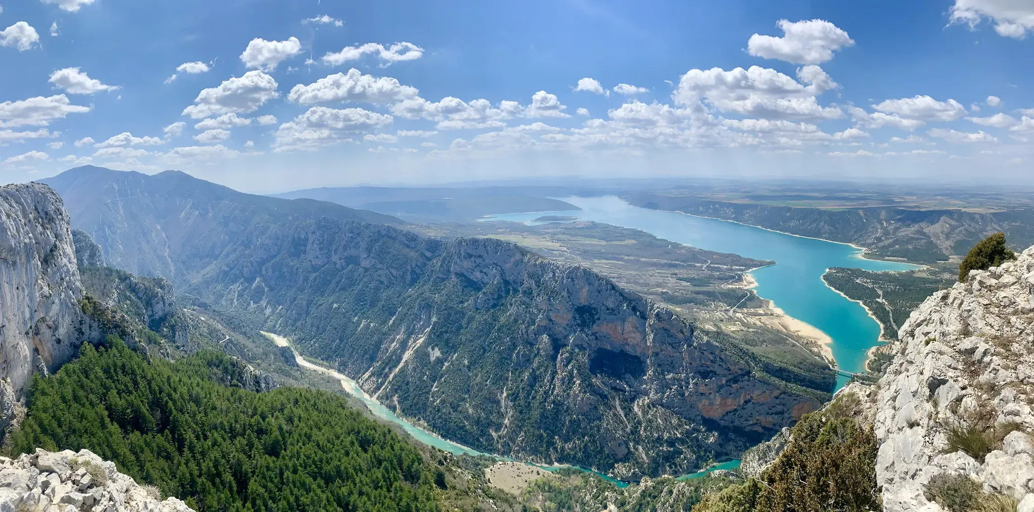
GR 4 – Crossing the south of France from Atlantic Coast to Provence
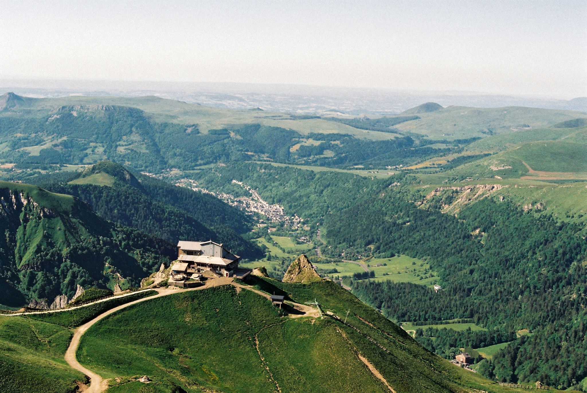
Crossing the volcanoes of Auvergne – Stromboliens, peléens and maars
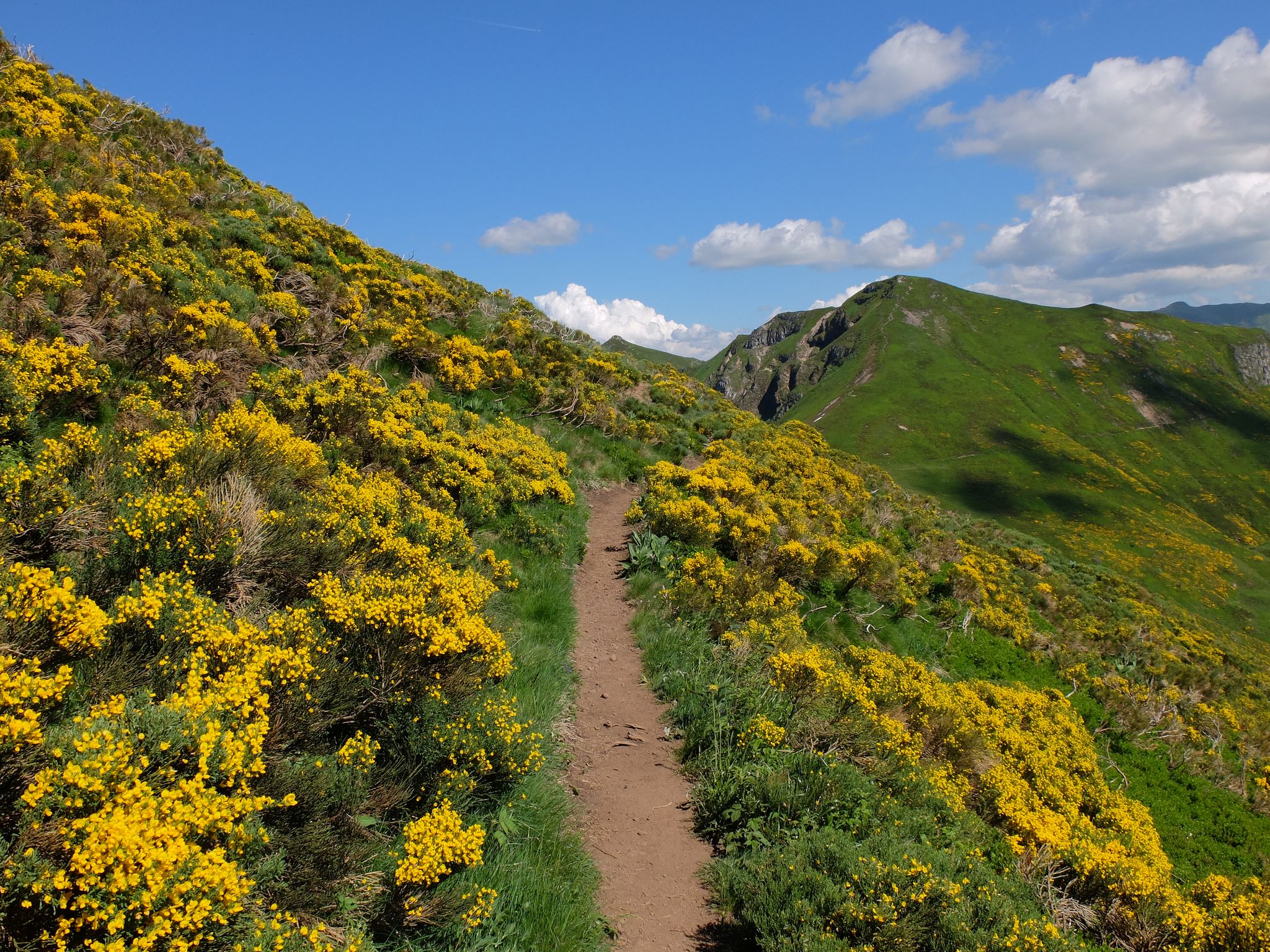
Tour des Volcans du Cantal (GR 400) – The biggest volcano in Europe
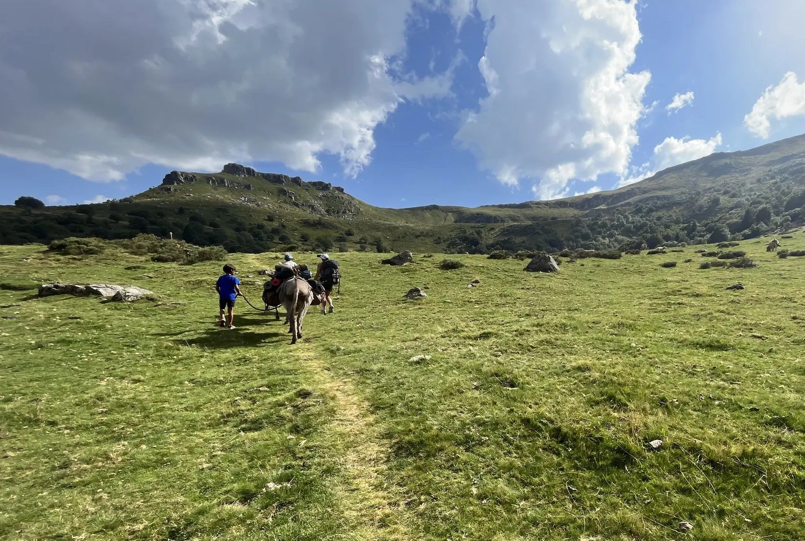
Hike with donkeys in France – a family adventure in the Mounts of Cantal

Hiking to the summits – France's highest points
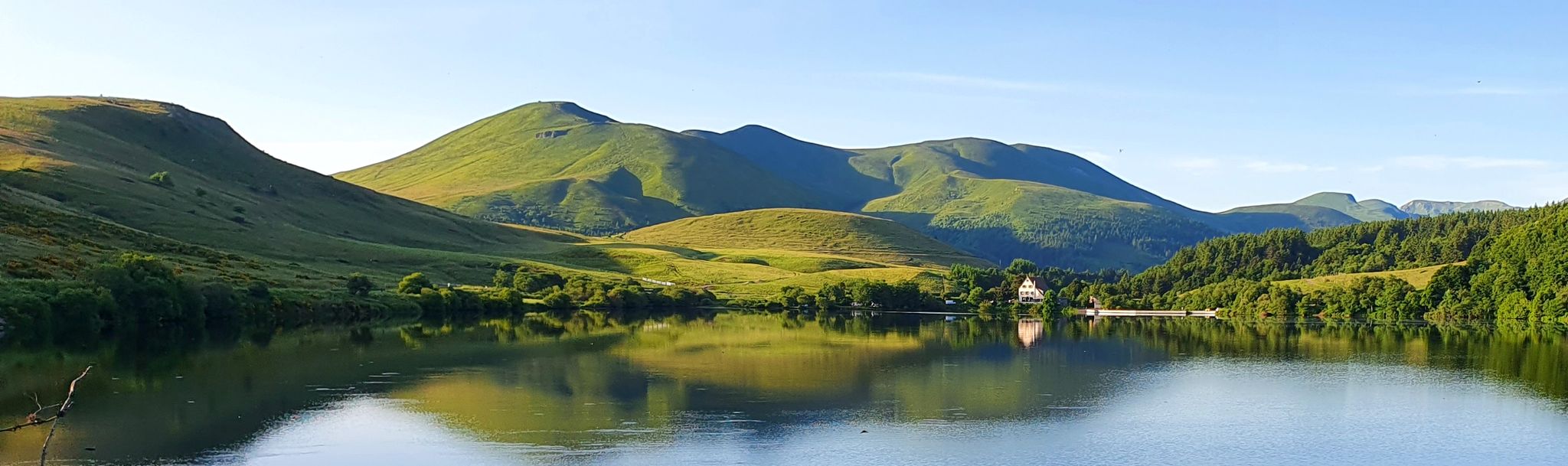
Tour of the volcanoes and lakes of Auvergne – GR 30
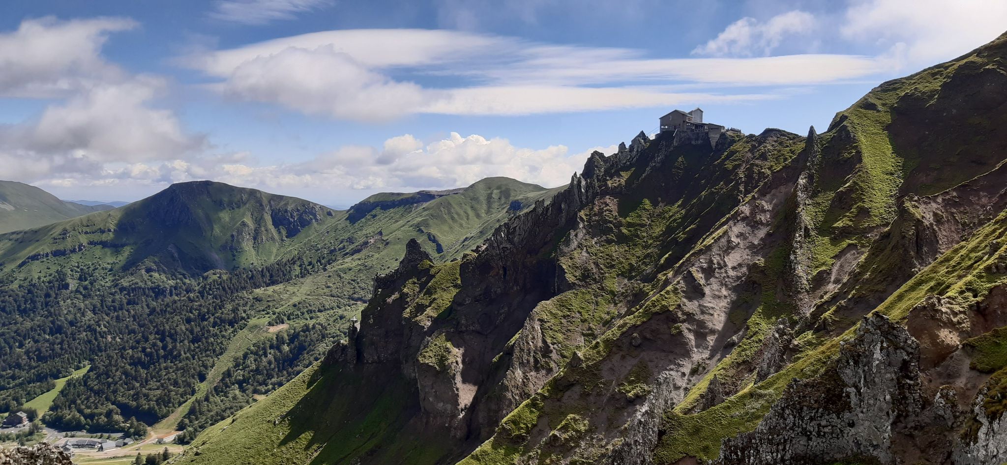
Volcanic walk in scenic Auvergne – Sancy loop, long version
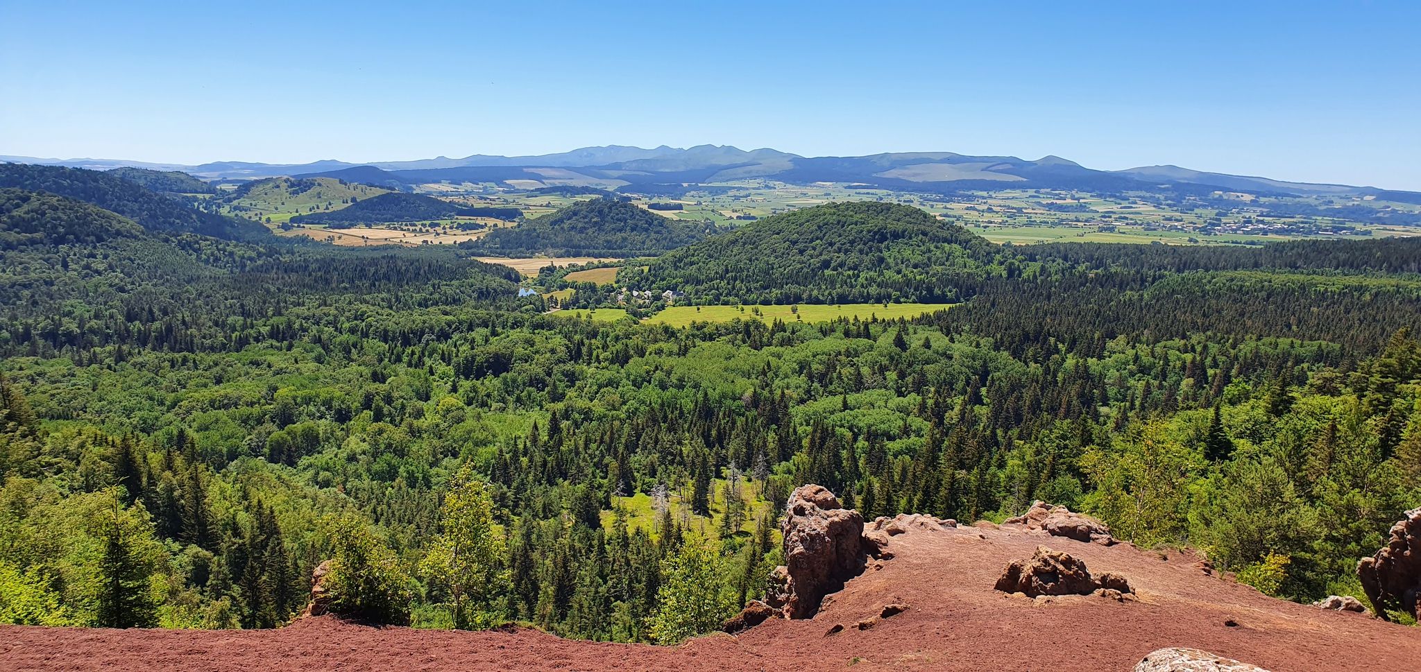
On the tracks of France’s Puys Chain — the GR 441

The Grande traversée du Massif Central by gravel bike
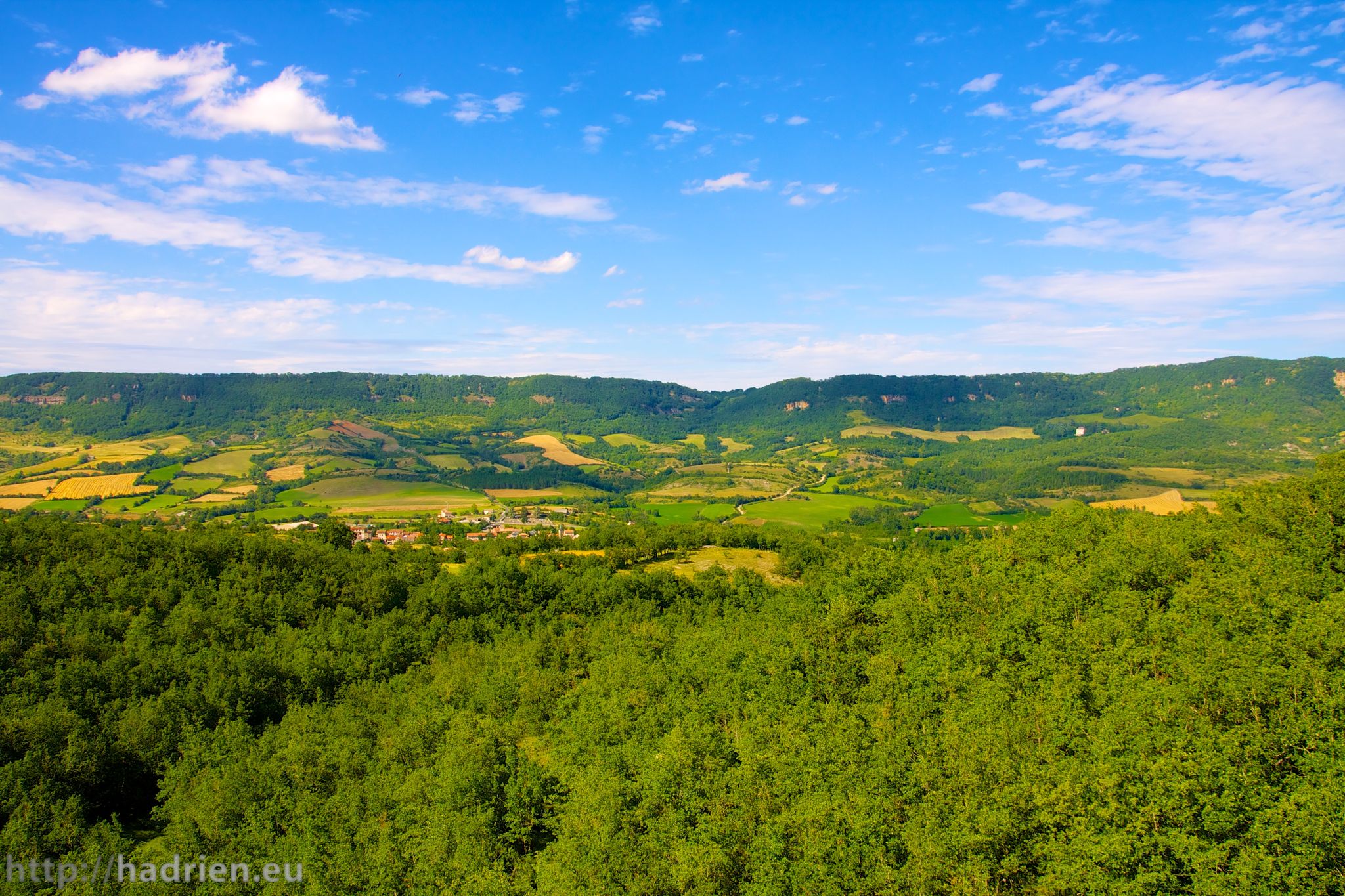
Tour of Aveyron — The mountains and valleys of Roquefort and Aligot
Other adventures in Volcans D'Auvergne


Tips from the Community

climb in the woods, descent a bit more complicated because the ground is sandy so risk of slipping
0
0

Twin volcano of Puy de Lassolas whose lava flow (cheire) led to the formation of Lake Aydat
0
0
Puy with the most frequented crater in the area
0
0
Second waterfall visible along a small loop
0
0
Pretty waterfall not far from a second one, part of a small loop of waterfalls starting from the landscaped cemetery
0
0

The path to the crater's interior remains closed. A large information sign explains the problems of erosion and demonstrates the difficulty of restoring the path.
0
0


An easy climb, with a pleasant climb through the forest, which offers a magnificent view of the surrounding area and the Puy de Dôme upon arrival. A truly breathtaking panorama, also accessible by steps.
0
0
Frequently Asked Questions
How many hiking trails are accessible from bus stations in Volcans D'Auvergne?
There are over 450 hiking routes in Volcans D'Auvergne that are accessible from bus stations, offering a wide range of options for all skill levels. This includes approximately 130 easy routes, over 280 moderate routes, and more than 50 difficult trails.
What kind of landscapes can I expect to see on bus-accessible hikes in Volcans D'Auvergne?
Volcans D'Auvergne is renowned for its unique volcanic landscapes, often called 'sleeping giants'. You'll encounter the distinctive cones of the Chaîne des Puys, crater lakes, and glacier-sculpted valleys. Many trails offer views of iconic peaks like Puy de Dôme and Puy de Sancy, along with diverse ecosystems including forests, high plateaus, and peat bogs.
Are there any family-friendly hiking routes accessible by bus?
Yes, there are numerous family-friendly options. For an easy and engaging walk, consider the Vulcania – Puy des Gouttes loop from Chaîne des Puys, which is around 6 km long and offers gentle terrain. The region's varied landscape ensures there are suitable paths for all ages and abilities.
Can I find circular hiking routes that start and end at a bus station?
Many of the trails accessible by bus in Volcans D'Auvergne are circular, allowing you to return to your starting point without needing additional transport. An example is the Rando des crêtes – Mont-Dore Thermal Baths loop from Mont-Dore, a moderate 6 km route that offers scenic views.
Are there any trails with waterfalls accessible from bus stops?
Absolutely. The region is known for its numerous waterfalls. A great option is the Queureuilh waterfall – Rossignolet Waterfall loop from Mont-Dore. This moderate 9 km route allows you to experience the natural beauty of these impressive water features. You can also visit The Grande Cascade of Mont-Dore, a significant natural highlight.
What are some notable landmarks or points of interest I can explore along these bus-accessible trails?
The trails often lead to or pass by significant natural and historical landmarks. You can hike towards the Puy de Dôme Summit for panoramic views, or explore the volcanic formations like the Puy Pariou Staircase. The region also features unique geological sites and charming villages.
What is the best time of year to hike in Volcans D'Auvergne using public transport?
The best time for hiking is generally from spring to autumn (May to October). During these months, the weather is milder, and trails are typically clear of snow, making public transport access and hiking more comfortable. Summer offers lush landscapes, while autumn provides stunning fall foliage. Some higher-altitude routes may still have snow in early spring or late autumn.
Are there any challenging hikes accessible from bus stations?
Yes, for experienced hikers seeking a challenge, there are difficult routes available. The Puy de la Vache – Puy de Vichatel Crater loop from Laschamps is a demanding 21 km trail with significant elevation gain, offering an immersive experience into the volcanic landscape.
What do other hikers say about the trails in Volcans D'Auvergne?
The hiking trails in Volcans D'Auvergne are highly regarded by the komoot community, with an average rating of 4.6 out of 5 stars from over 15,000 reviews. Hikers frequently praise the stunning volcanic scenery, the well-maintained paths, and the diverse range of routes suitable for all abilities.
Are there any trails that offer views of the iconic Puy de Dôme?
Many trails in the Chaîne des Puys region offer spectacular views of the Puy de Dôme. For a route that specifically highlights this, consider the Puy parioux auvergne – View of the Puy de Dome loop from Parking des Goules, a moderate 12 km hike that provides excellent vantage points.
Are there any caves or geological sites to explore near bus-accessible trails?
Yes, the region has interesting geological formations including caves. While not directly on a bus-accessible trail, you can find highlights like the Jonas Caves in the broader Volcans D'Auvergne area, which offer a glimpse into the region's unique geology and history.
Most popular routes in Volcans D'Auvergne
Most popular attractions in Volcans D'Auvergne

Get inspired with the komoot mobile app


