The best traffic-free bike rides in Sierra Lijar
4.5
(9)
114
riders
6
rides
Gravel biking in Sierra Lijar offers varied terrain across a Jurassic limestone mountain range, characterized by challenging climbs and descents. The region features compacted dirt and loose gravel surfaces, ideal for off-road cycling away from traffic. Slopes are adorned with Mediterranean vegetation, including holm oaks and wild olive trees, providing a natural backdrop. This area is recognized as a Special Conservation Area, highlighting its ecological significance.
Best no traffic gravel bike trails in Sierra Lijar
- The most popular no traffic…
Last updated: July 13, 2026
4.8
(4)
15
riders
45.4km
02:45
580m
580m
Hard gravel ride. Very good fitness required. Mostly paved surfaces. Suitable for all skill levels.
4.8
(4)
74
riders
59.4km
03:49
870m
870m
Hard gravel ride. Very good fitness required. Mostly paved surfaces. Suitable for all skill levels.

Sign up for free
4.0
(1)
13
riders
35.2km
02:10
470m
470m
Hard gravel ride. Very good fitness required. Mostly paved surfaces. Suitable for all skill levels.
3
riders
45.5km
03:18
1,040m
1,040m
Hard gravel ride. Very good fitness required. Mostly paved surfaces. Suitable for all skill levels.
3
riders
38.9km
02:33
500m
500m
Hard gravel ride. Very good fitness required. Mostly paved surfaces. Suitable for all skill levels.
Our route recommendations are based on thousands of hikes, rides, and runs completed by other people on komoot.
Start today with a free account
Your next adventure awaits.
Login or Signup
Popular around Sierra Lijar
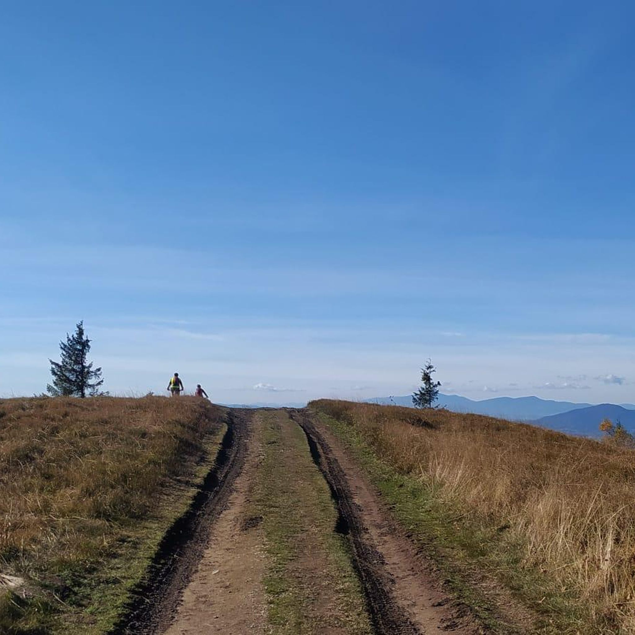
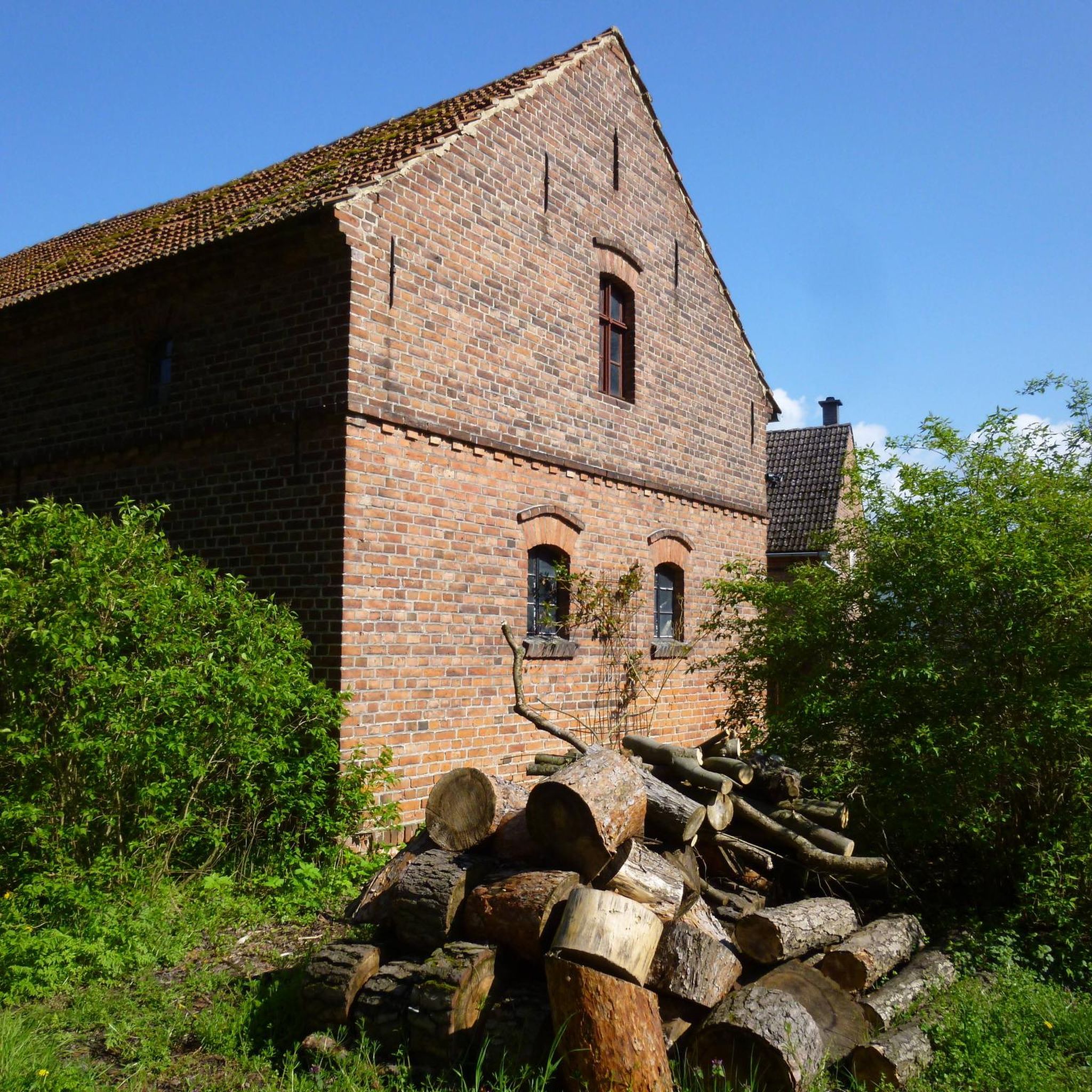
Tips from the Community

Bike tour - a journey through time 🤣🚴
0
0

A 135-meter-long viaduct, built using rectangular truncated pyramidal pilasters with mortared ashlars, is formed by the repetition of seven identical arches. It was built to span the Guadalporcún River crossing before it meets the Guadamanil River. The latter originates in the Sierra de la Lebrona mountain range in the municipality of Pruna (Seville) and flows into the Guadalporcún River just a few meters from the viaduct. The confluence of the rivers has created a wide floodplain. From this railway infrastructure, there is a privileged view of the Estrechón Canyon, a natural passage carved by the Guadalporcún River to traverse the foothills of the Zaframagón Rock. Just below, on the left bank of the Guadalporcún, we find the ruined building of what was once the Zaframagón mill. A little further west, other ruins can be seen. It is a small town built for workers on the railway line construction site.
8
0
One of the most beautiful cycle paths in Europe!
9
0
Viaduct of 237 meters long, built by means of truncated pyramidal pilasters with a rectangular plan with mortared bluestones. It consists of 9 openings, eight of which are the same, and the fourth (counting from the station) with a larger arch. It is the longest viaduct of the nature trail, built to cross the junction with the Guadalporcún River.
7
0
Viaduct of 83 meters long, built by means of truncated pyramidal pilasters with a rectangular plan with mortared bluestones. Formed by the repetition of 5 equal openings. It was designed and built to save a deep ravine dug by a tributary of the Guadalporcún River.
8
0
Railway tunnel no. 23 of the Sierra Greenway Nature Trail. Located 923 meters from the previous tunnel, it is 125 meters long and has no artificial lighting, so a flashlight is recommended. This tunnel is excavated into the side of a clay hill.
8
0
Viaduct of 65 meters long, built by means of truncated-pyramidal pilasters with a rectangular plan with mortared bluestones. Formed by the repetition of 3 equal spans. Built to save the bed of the Azar stream. Less than 100 meters away there is a small rest area from where you have a good view of the Guadalete river at the exit of the Villalón meander, at the foot of the Cerro del Castellar.
7
0
Railroad tunnel No. 28 of the Sierra Greenway Nature Trail. Located 1,031 meters from the previous tunnel, it is 87 meters long and not equipped with artificial light, so it is advisable to have a flashlight. This tunnel was dug from clay and sandstone. The tunnels of this section of the railway were built by means of shoring (fastening of the excavation) based on props and wooden beams to later form the concrete of the slab that supports the tunnel. The mouth of the tunnel is finished with sculpted limestone from a quarry for Zaframagón.
9
0
Frequently Asked Questions
How many no traffic gravel bike trails are available in Sierra Líjar?
There are 5 dedicated no traffic gravel bike routes in Sierra Líjar featured in this guide. These routes are specifically curated to offer an experience away from vehicular traffic, allowing you to fully immerse yourself in the region's natural beauty.
What is the typical difficulty level for no traffic gravel bike trails in Sierra Líjar?
The no traffic gravel bike trails in Sierra Líjar generally range from moderate to difficult. While there is one moderate route, the majority (4 out of 5) are classified as difficult. Riders can expect varied surfaces, including compacted dirt and loose gravel, with challenging climbs and descents characteristic of the Jurassic limestone mountains.
What kind of terrain and landscapes can I expect on these gravel bike trails?
You can expect a diverse and engaging terrain. The trails feature compacted dirt and loose gravel surfaces, with challenging ascents and descents across Jurassic limestone mountains. The landscapes are dramatic, offering infinite views, Mediterranean vegetation like holm oaks and wild olive trees, and the unique karstic features of the region.
When is the best time of year to go gravel biking in Sierra Líjar?
Given the Mediterranean climate, the best times for gravel biking in Sierra Líjar are typically spring and autumn. These seasons offer pleasant temperatures, avoiding the intense heat of summer and the cooler, potentially wetter conditions of winter, making for more comfortable and enjoyable rides.
Are there any notable viewpoints or attractions along the no traffic gravel bike routes?
Yes, Sierra Líjar offers stunning natural attractions. A prominent feature is the Mirador de Levante, which provides panoramic views of Zahara de la Sierra, the Sierra de Grazalema Natural Park, and Algodonales. You might also encounter the El Dornajo Spring, a tranquil spot along the trails.
Are there circular no traffic gravel bike routes in Sierra Líjar?
Yes, all the no traffic gravel bike routes in this guide are circular, designed to bring you back to your starting point. For example, the Vía Verde de la Sierra – Zaframagón Viaduct loop from Puerto Serrano and the Zaframagón Viaduct – Vía Verde de la Sierra loop from Coripe are excellent options for a full loop experience.
What is the longest no traffic gravel bike trail in Sierra Líjar?
The longest no traffic gravel bike trail in this guide is the Zaframagón Viaduct – Vía Verde de la Sierra loop from Coripe, spanning approximately 59.3 kilometers. This route offers an extensive journey through the region's scenic landscapes.
What is the shortest no traffic gravel bike trail in Sierra Líjar?
The shortest no traffic gravel bike trail in this guide is the Venta Julián – Prado del Rey loop from Prado del Rey, covering about 32 kilometers. This route is a great option for a slightly quicker ride while still enjoying the traffic-free gravel experience.
Is Sierra Líjar suitable for advanced gravel bikers looking for a challenge?
Absolutely. Sierra Líjar is well-suited for advanced gravel bikers. With 4 out of 5 routes classified as difficult, the region offers challenging climbs, technical descents, and varied gravel surfaces that will test your skills and endurance. The Fuente del Algarrobo – Guadalete River Trail loop from Zahara, for instance, features over 1000 meters of elevation gain.
What do other gravel bikers enjoy most about the no traffic trails in Sierra Líjar?
The komoot community highly rates the gravel biking experience in Sierra Líjar, with an average score of 4.7 stars. Riders often praise the dramatic landscapes, the sense of adventure on less-traveled paths, and the opportunity to explore away from heavy traffic. The challenging terrain and stunning viewpoints are frequently highlighted as key attractions.
Are there any routes that follow historical paths or offer cultural insights?
Yes, the region is rich in history. Many trails, particularly those that incorporate sections of the Vía Verde de la Sierra, follow ancient livestock paths known as "Vía Pecuaria." These routes offer a glimpse into the cultural heritage of the area, connecting you with the traditional landscapes and the charming "pueblos blancos" (white villages) that dot the surroundings.
Most popular routes in Sierra Lijar
Most popular attractions in Sierra Lijar

Get inspired with the komoot mobile app


Explore more
Browse the best Gravel rides in other regions.
