The best hikes from bus stations in Kyle Of Tongue
4.4
(225)
1,641
hikers
8
hikes
Hiking in Kyle Of Tongue offers diverse bus station hiking trails across a landscape characterized by prominent mountains, sea lochs, and a rugged coastline. The region features varied terrain including rolling hills, extensive wetlands, and moorland. This area, a National Scenic Area, provides a mix of challenging mountain ascents and more gentle coastal and hill walks. The interplay of mountains and the Atlantic Ocean creates distinct hiking environments.
Best bus station hiking trails in Kyle Of Tongue
- The most popular…
Last updated: August 23, 2026
4.9
(16)
75
hikers
11.2km
03:04
180m
180m
Moderate hike. Good fitness required. Easily-accessible paths. Suitable for all skill levels.
4.0
(7)
39
hikers
21.0km
06:27
790m
790m
Hard hike. Very good fitness required. Mostly accessible paths. Sure-footedness required.

Sign up for free
4.0
(2)
19
hikers
19.5km
05:10
190m
190m
Hard hike. Very good fitness required. Easily-accessible paths. Suitable for all skill levels.
3
hikers
26.0km
07:09
1,110m
1,120m
Hard hike. Very good fitness required. Mostly accessible paths. Sure-footedness required.
4.5
(27)
73
hikers
7.34km
02:00
110m
110m
Easy hike. Great for any fitness level. Easily-accessible paths. Suitable for all skill levels.
Get access to more routes and recommendations from other explorers.
Sign up for free
Already have an account?
Our route recommendations are based on thousands of hikes, rides, and runs completed by other people on komoot.
Start today with a free account
Your next adventure awaits.
Login or Signup


Tips from the Community

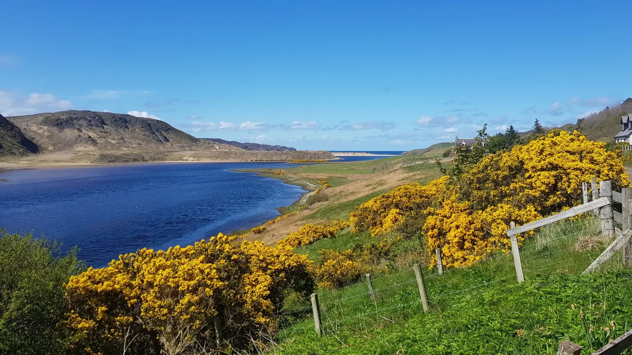
I was parked with my camper at the Bayview campsite and enjoyed the view. I can recommend a hike along the wreck along the coast to everyone.
0
0

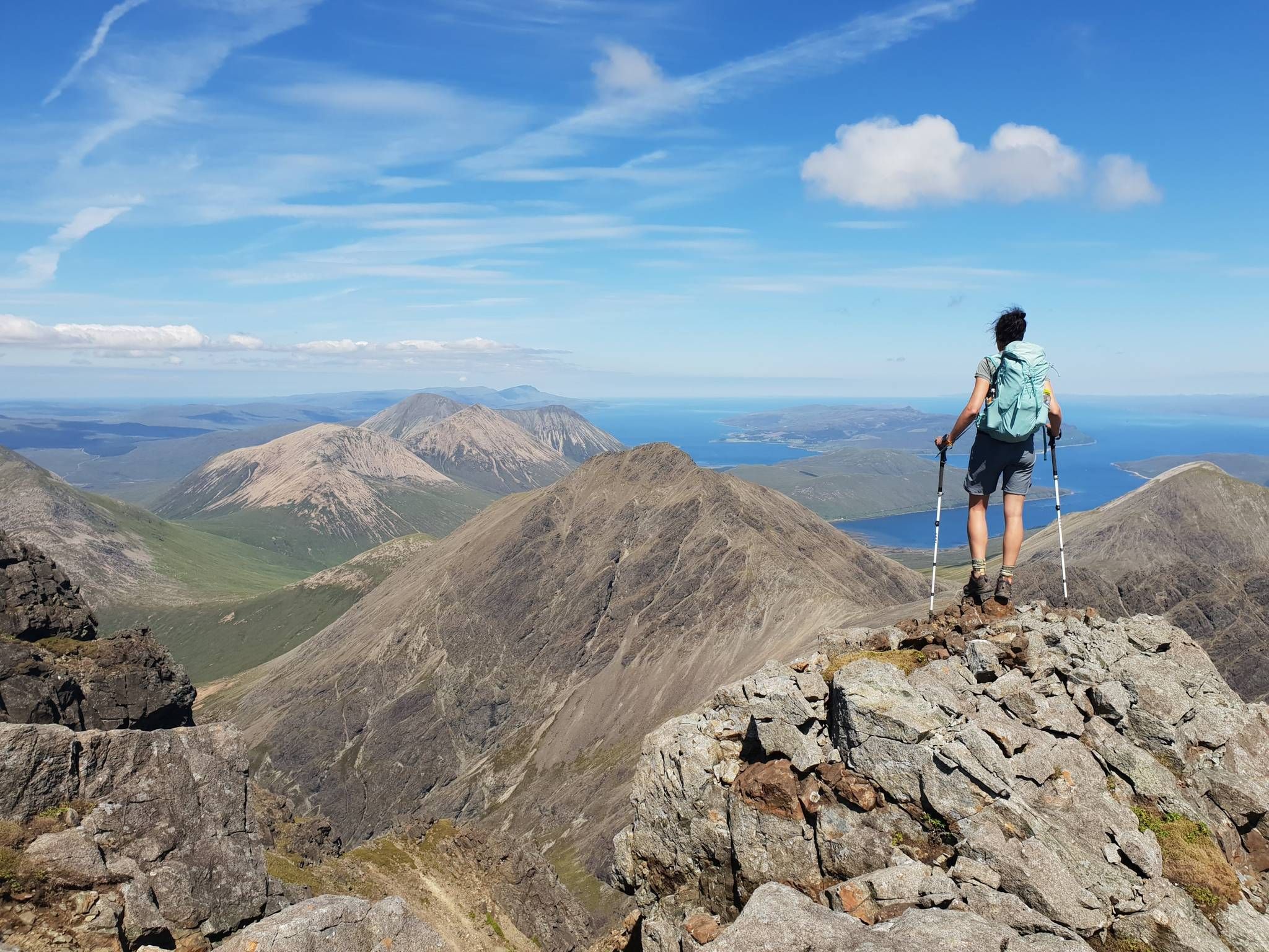
A wonderfully airy rocky tor at the top of a steep grassy climb. It gives great views and it's a long way down!
0
0
This is near the start of the steep climb up to Sgor Chaonasaid.
0
0
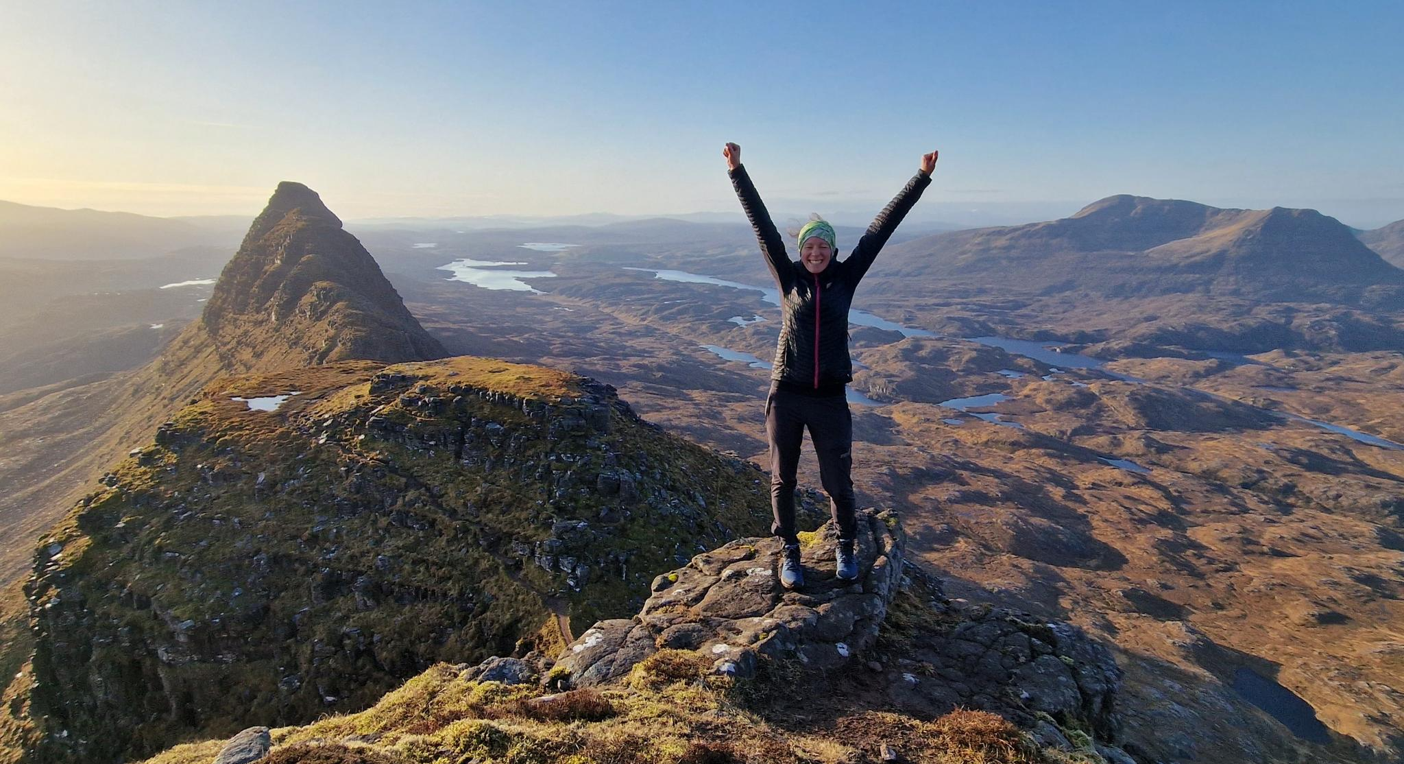
The summit of a truly iconic mountain in Sutherland. It's distinctive shape can be made out from the Kyle of Tongue, and from further away at places such as A Mhoine. It's isolated position means it gives expansive views in all directions.
0
0

small village with a few houses, ruins and sheep
0
0
small bay, surrounded by cliffs, sandy beach with clear turquoise water
0
0

From the river you can reach the castle ruins in about 15 minutes
2
0

The deli and coffee shop is also the village store and post office. It's a very important part of the community and worth stopping at because it's great and to help the local economy. Open Mon to Sat.
0
0
Frequently Asked Questions
How many bus station accessible hiking trails are available in Kyle Of Tongue?
There are 8 hiking trails in the Kyle of Tongue region that are accessible from bus stations, offering a range of difficulties from easy coastal walks to challenging mountain ascents.
What kind of terrain can I expect on bus station hikes in Kyle Of Tongue?
The terrain varies significantly, reflecting the region's dramatic and diverse landscapes. You can expect coastal paths with sandy beaches and rocky shores, rolling hills, extensive moorland, and challenging mountain trails leading to prominent peaks like Ben Loyal. Some routes, such as the Talmine and Achininver Beach Circuit, combine coastal views with moorland vistas.
Are there any family-friendly bus station hikes in Kyle Of Tongue?
Yes, there are several easier options suitable for families. The Talmine Bay Shipwreck – View of Talmine Bay loop from Melness is an easy 7.3 km route with minimal elevation gain, offering pleasant views. The region also features trails like the Castle Varrich Trail (not listed in the bus station routes but mentioned in region research as easy), which provides a less strenuous walk to a historic ruin.
What is the best time of year to hike from bus stations in Kyle Of Tongue?
The best time for hiking in Kyle of Tongue is generally during the summer months (June to August) when the weather is milder and daylight hours are extended. However, visitors should always be prepared for unpredictable Scottish weather, regardless of the season.
Are there any circular bus station routes in the area?
Yes, several routes offer a circular experience. For instance, the Kyle of Tongue loop from Tongue is a challenging 19.5 km circular hike that provides extensive views of the sea loch and surrounding landscape. The Talmine and Achininver Beach Circuit is another moderate circular option.
What interesting landmarks or natural features can I see along these bus station trails?
The Kyle of Tongue offers stunning natural beauty and historical sites. Along various routes, you might encounter the dramatic peaks of Ben Loyal, which can be explored via routes like Ben Loyal from Tongue. You can also spot the historic Castle Varrich overlooking the Kyle, or cross the impressive Kyle of Tongue Bridge. The region is also known for its diverse wildlife, including opportunities for spotting salmon, sea trout, and otters.
Are bus station hiking trails in Kyle Of Tongue dog-friendly?
Many trails in the Kyle of Tongue are suitable for dogs, but it's crucial to keep them under close control, especially in areas with livestock or ground-nesting birds. Always follow the Scottish Outdoor Access Code, which advises keeping dogs on a lead or under close control around farm animals and wildlife.
What do other hikers enjoy most about hiking from bus stations in Kyle Of Tongue?
The Kyle of Tongue region is highly rated by the komoot community, with an average score of 4.34 stars. Reviewers often praise the dramatic and diverse landscapes, the panoramic coastal and mountain views, and the sense of wildness and tranquility found on these trails. The accessibility of these routes from bus stations is also a key benefit.
Are there any challenging mountain hikes accessible from bus stations?
Yes, for experienced hikers, there are challenging ascents. The Ben Loyal from Tongue — Kyle of Tongue route is a difficult 20.9 km hike with significant elevation gain, offering expansive views over Loch Loyal and surrounding hills. Another demanding option is Ben Loyal & the Allt Fhionnaich descent from Tongue, which is even longer and features over 1100 meters of ascent.
Where can I find refreshments or accommodation near the bus station trailheads?
The village of Tongue, a central point for many bus station accessible trails, offers local amenities. You can find cafes, pubs, and various accommodation options such as B&Bs and self-catering facilities within the village, providing convenient services before or after your hike.
Most popular attractions in Kyle Of Tongue

Get inspired with the komoot mobile app


Explore more
Browse the best Hikes in other regions.
